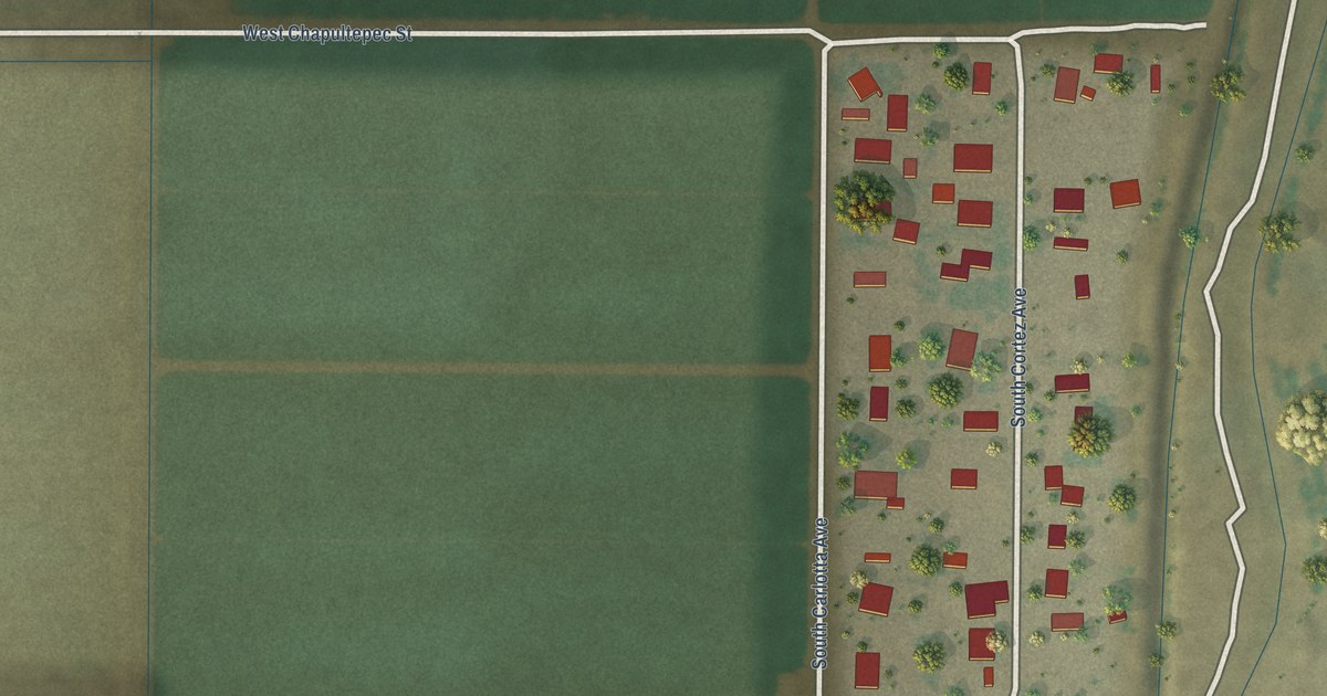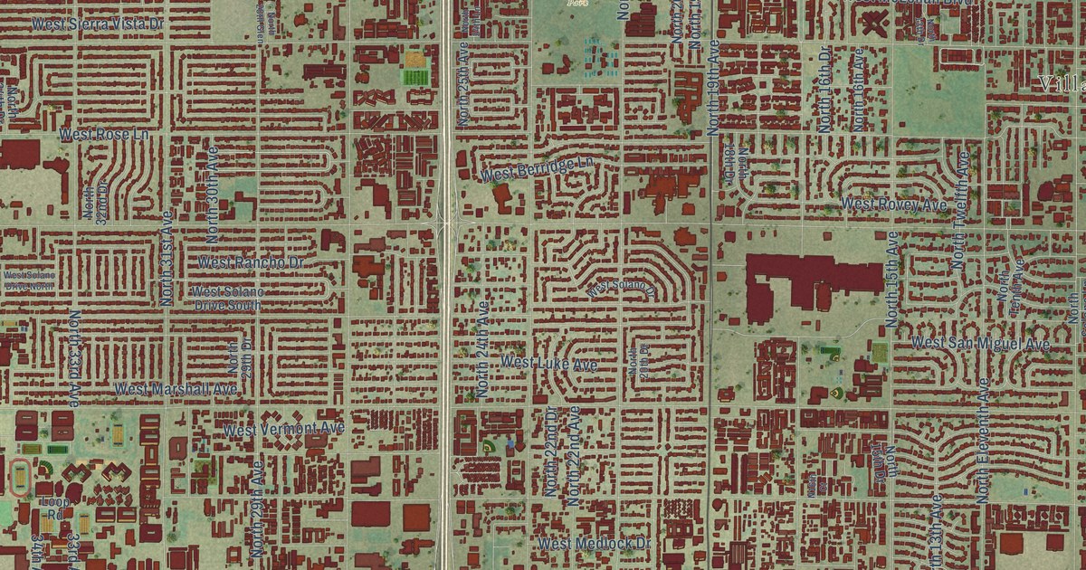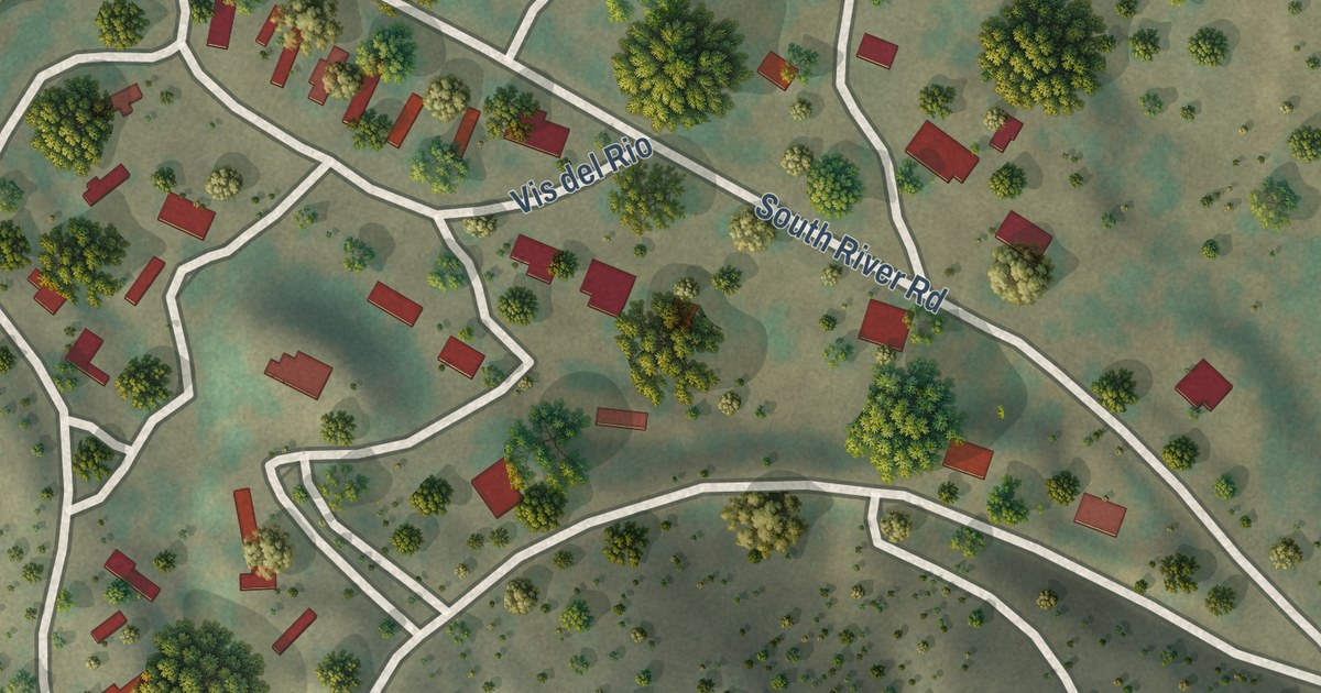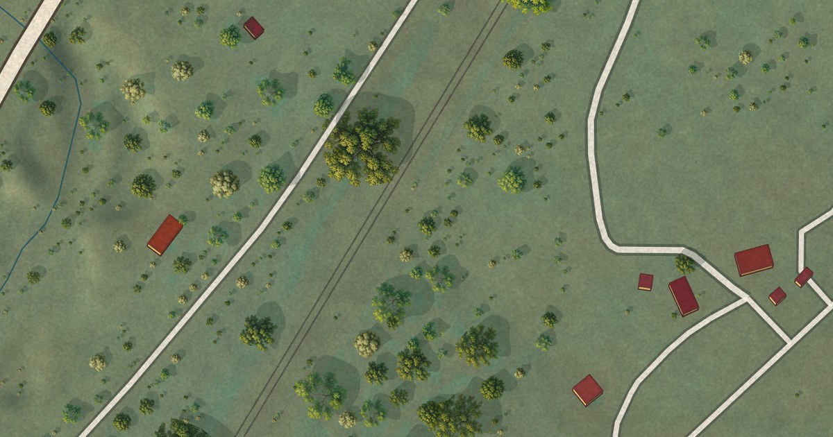
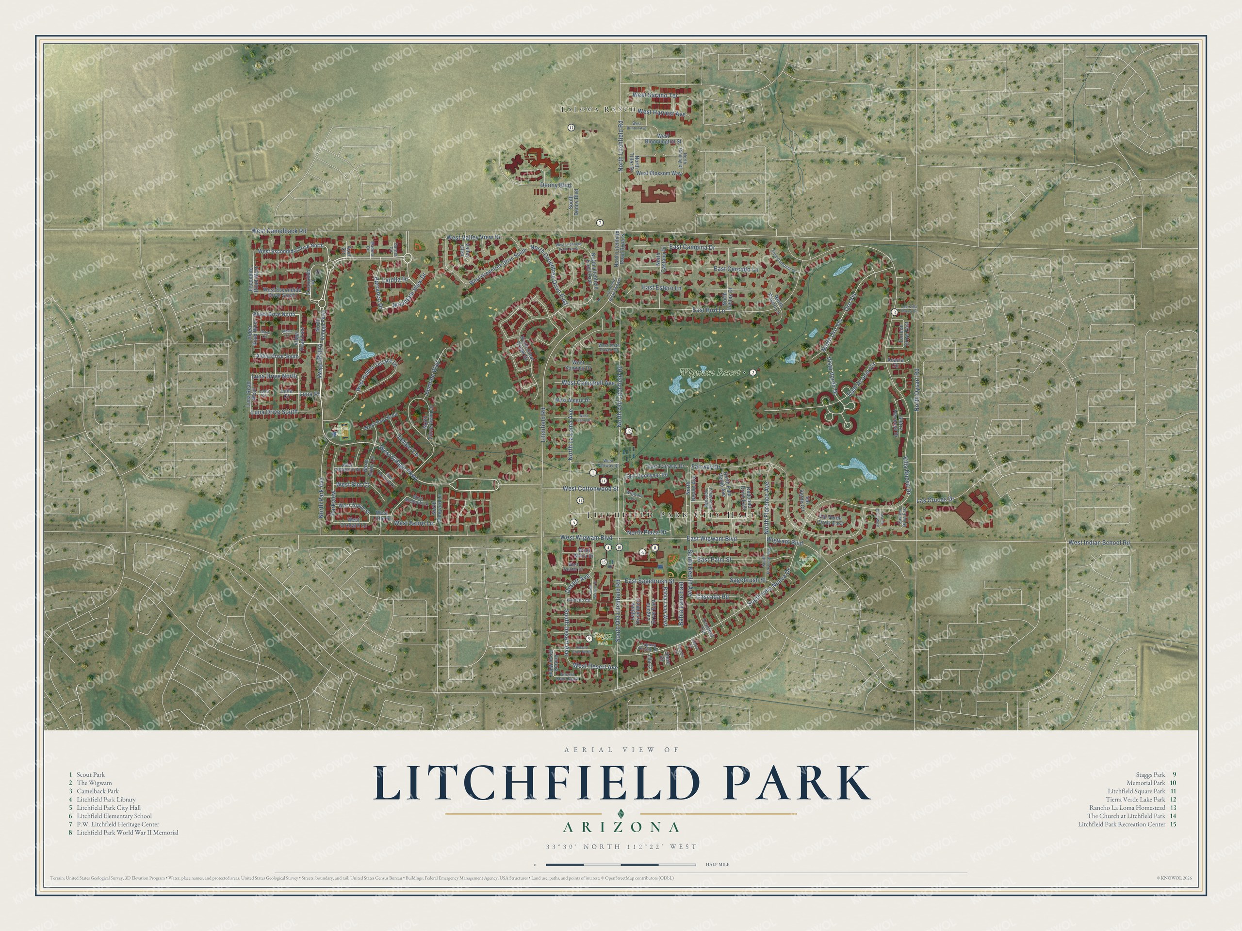
This beautifully detailed map of Litchfield Park, Arizona was created in 2026 using aerial imagery combined with modern topographical, census, street and landmark data. It’s a one-of-a-kind view of Litchfield Park that combines accurate data with a vintage aesthetic. The map shows every building in its true location, many of the roads carry their names, and the shaded topographic relief shows the shape of the land.
See the Litchfield Park, Arizona map on a wall
The Litchfield Park map as an 18 x 24 inch print in a black frame.

Explore an aerial view of Litchfield Park, Arizona
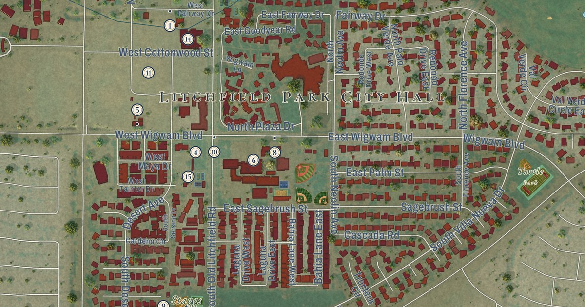
On the map you’ll find Litchfield Park City Hall, LaLoma Ranch, Allepo Park, Turtle Park, Staggs Park, Wigwam Resort, Luna Place, and Oro Vis, along with Village Parkway, West Village Parkway, East Wigwam Boulevard, Villa Nueva Drive, and more. If you look closely you can even find your house accurately drawn in its correct location. Zoom in on the preview to look for yours.
Did you know this piece of Litchfield Park, Arizona history?
Litchfield Park is named for its founder, Goodyear executive Paul Weeks Litchfield. He came to the Phoenix area in 1916 looking for land to grow long-staple cotton. Goodyear needed that cotton to make the rubber in its tires stronger. The Postal Service approved the name Litchfield Park in 1926.
Take a closer look at the Litchfield Park map
Click to explore a larger preview. The digital watermark does not appear on printed maps.
Street and place names on the Litchfield Park, Arizona map
These names are printed on the map of Litchfield Park, Arizona.
Places: Litchfield Park City Hall, LaLoma Ranch, Allepo Park, Turtle Park, Staggs Park and Wigwam Resort.
Streets and roads: Village Parkway, West Village Parkway, East Wigwam Boulevard, Luna Place, Villa Nueva Drive, Oro Vis, South Villa Nueva Drive, Vista Verde Drive, North Old Litchfield Road, Cascada Road, East Acacia Circle, Litchfield Road.
More street names, A to Z
Acacia Circle, Aldea Circle, Aldea Court, Aldea Drive North, Aldea Drive South, Aldea Road East, Aldea Road West, Ancora Drive North, Ancora Drive South, Ancora Drive West, Azul Circle, Bahia Lane East, Bahia Lane West, Barranco Drive, Cabrito Circle, Cardeno Circle, Castillo Drive East, Castillo Drive West, Denny Boulevard, Desert Avenue, East Bird Lane, East Campina Drive, East Campina Lane, East Cercado Lane, East Estero Lane, East Fairway Drive, East Goodyear Road, East Palm Street, East Sagebrush Street, East Villa Nueva Drive, Escondido Place, Escondito Road West, Fairway Drive, Garnet Circle, Jasmine Way, Juniper Lane, Laguna Drive East, Laguna Drive West, Laguna Royale Drive, Lajolla Drive, Las Cruces Drive, Lila Circle, Litchfield Road Bypass, Luna Circle, Luna Court, Luna Drive North, Luna Drive South, Luna Road West, Madera Circle, Mountain View Drive, North Arbor Lane, North Castano Drive, North Clear Creek Drive, North Cloverfield Circle, North Dysart Road, North Florence Avenue, North Ginning Drive, North Greentree Drive East, North La Loma Avenue, North Litchfield Knoll East, North Litchfield Road, North Litchfield Road Bypass, North Neolin Avenue, North Oro Vis, North Pajaro Lane, North Palo Verde Avenue, North Park Avenue, North Plaza Drive, North Robles Drive, North Tiller Drive, North Village Parkway, North Vineyard Lane, Otero Circle, Paladin Circle, Parkview, Redondo Drive East, Redondo Drive West, Sagebrush Street, Sierra Hermosa Drive, South Denny Boulevard, South Desert Avenue, South Florence Avenue, South Neolin Avenue, South Old Litchfield Road, South Serrano Drive, Torreon Drive East, Trontera Circle, Valley Glen, Val Verde Circle, Val Verde Circle East, West Alegre Drive, West Azure Lane, West Bloomington Street, West Blossom Way, West Brinton Avenue, West Camelback Road, West Campbell Avenue, West Cottonwood Street, West Desert Avenue, West Elm Court, West Escondido Drive North, West Escondido Drive South, West Fairway Drive, West Greentree Drive South, West Grove Street, West Harvest Avenue, West Hidden Terrace Lp, West Indian School Road, West Litchfield Knoll North, West Little Street, West Llano Drive, West Maya Drive, West Mesquite Lane, West Orchard Lane, West Palo Brea, West Sarano Terrace, West Sonoma Drive, West Sycamore Court, West Sycamore Lane, West Tainter Drive, West Valley View Drive, West Vista Paseo Drive, West Wigwam Boulevard, Wigwam Boulevard, Wigwam Lane.
This beautifully detailed map of Litchfield Park makes an attractive addition to your office, library, or den, and it can even be used to teach children the geography and history of the area. It also makes a great gift for anyone who grew up in Litchfield Park or moved away. When you’re done exploring, click here to get your copy of the Litchfield Park map.