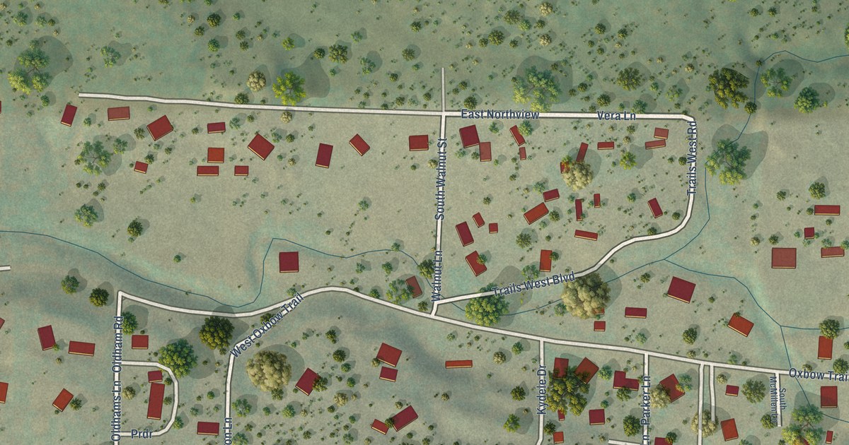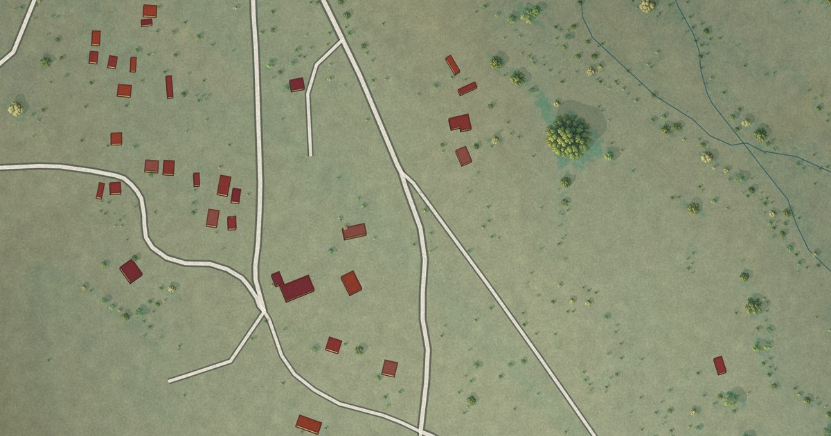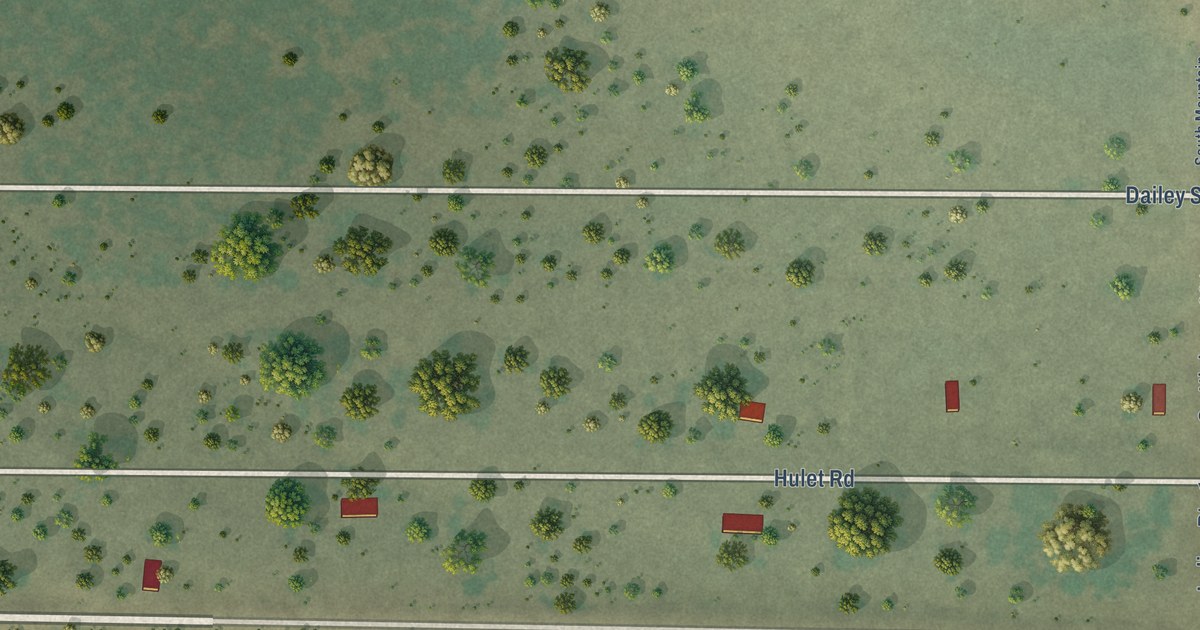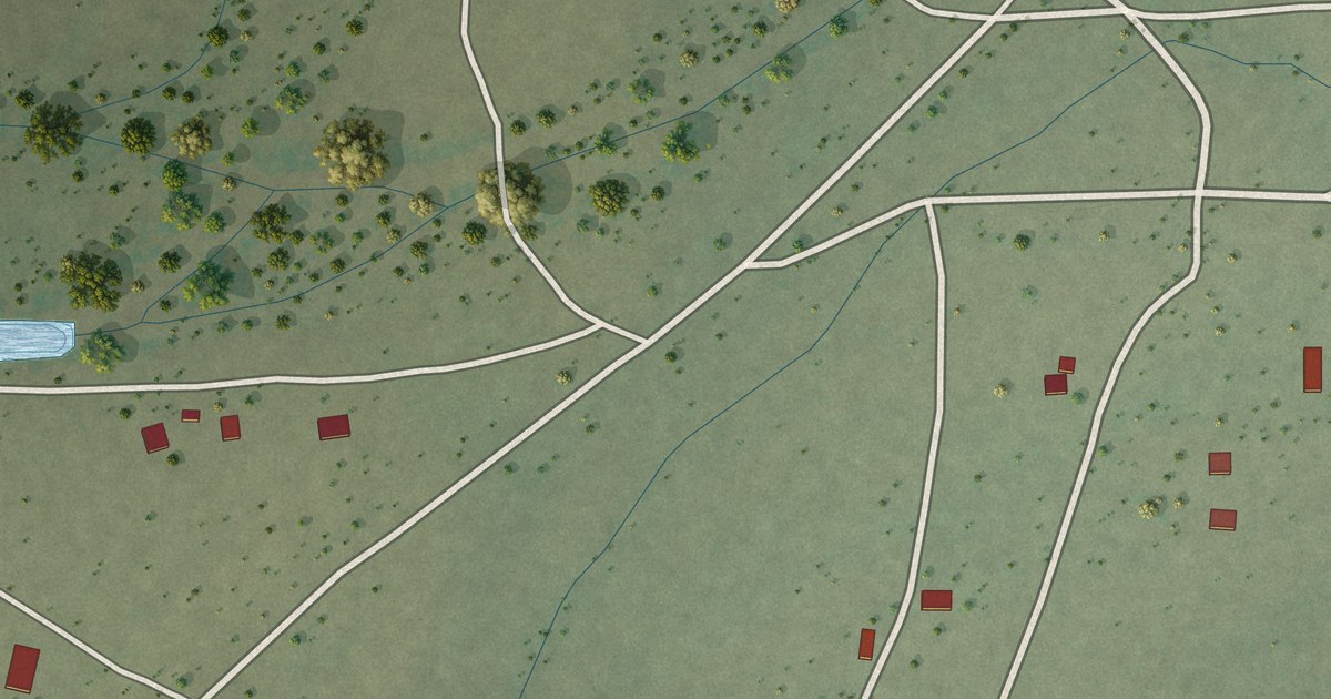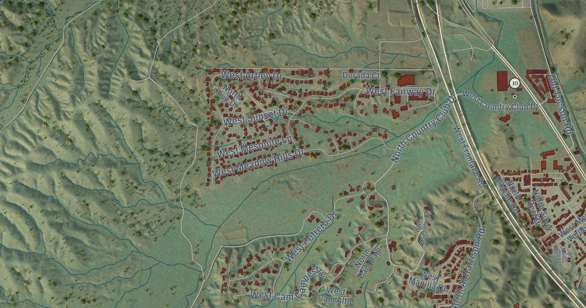
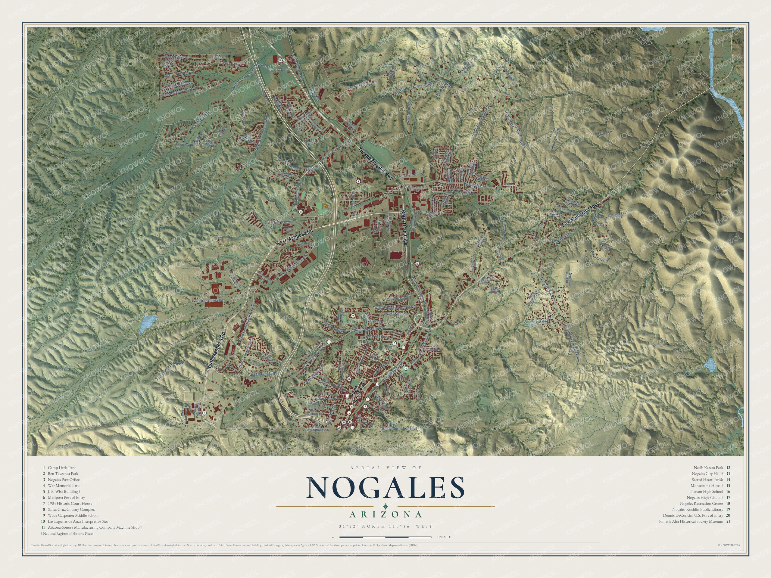
This beautifully detailed map of Nogales, Arizona was created in 2026 using aerial imagery combined with modern topographical, census, street and landmark data. It’s a one-of-a-kind view of Nogales that combines accurate data with a vintage aesthetic. The map shows every building in its true location, many of the roads carry their names, and the shaded topographic relief shows the shape of the land.
See the Nogales, Arizona map on a wall
The Nogales map as an 18 x 24 inch print in a black frame.

Explore an aerial view of Nogales, Arizona
On the map you’ll find East Cam Vista del Cielo, along with West Mariposa Road, East Patagonia Highway, Tucson-Nogales Highway, North Grand Avenue, North Mariposa Road, North Country Club Drive, North Apache Boulevard, North Frank Reed Road, East Baffert Drive, West Gold Hill Road, North Western Avenue, and more. If you look closely you can even find your house accurately drawn in its correct location. Zoom in on the preview to look for yours.
Did you know this piece of Nogales, Arizona history?
Nogales takes its name from the Spanish word for walnut. Large stands of walnut trees once grew in the mountain pass where the city sits. In 1880 Isaac and Jacob Isaacson set up a trading post here that bore their surname. The post office took the name Nogales in 1883.
Take a closer look at the Nogales map
Click to explore a larger preview. The digital watermark does not appear on printed maps.
Street names on the Nogales, Arizona map
These names are printed on the map of Nogales, Arizona.
Streets and roads: West Mariposa Road, East Patagonia Highway, Tucson-Nogales Highway, North Grand Avenue, North Mariposa Road, North Country Club Drive, North Apache Boulevard, North Frank Reed Road, East Baffert Drive, East Cam Vista del Cielo, West Gold Hill Road, North Western Avenue.
More street names, A to Z
Amura Lane, Aurora Loop, Dorada Court, East Adams Street, East Beatus Drive, East Beck Street, East Bristol Drive, East Burdon Place, East Cam del Monte, East Cll Caborca, East Cll Mayer, East Cll Sonora, East East Street, East Edward Street, East Hudgins Street, East International Street, East Live Oak Drive, East Maya Street, East Mayra Drive, East Montparnasse Way, East Price Hill Road, East Rancho Grande Drive, East Roper Road, East Skyline Drive, East Terminal Produce Drive, East Thelma Street, Frank Reed Road, Lobo Lane Drive, Manzanita Lane, Mesquite Place, North Adams Street, North Al Harrison Road, North Arroyo Boulevard, North Aurora Drive, North Bankerd Avenue, North Bejarano Street, North Bitache Drive, North Cam Bajo, North Cam Vista del Cielo, North Canon del Oro Drive, North Cebarel Lane, North Cherokee Avenue, North Ciardulli Place, North Cinco Millas Road, North Cll Cananea, North Cll Chihuahua, North Cll Culiacan, North Cll Empalme, North Cll Guadalupe, North Cll Santa Ana, North Cll Trinidad, North Cll Zapata, North Congress Drive, North David Drive, North Donna Avenue, North Edith Place, North Freeport Drive, North Highland Drive, North Hohokam Drive, North Industrial Park Avenue, North Industrial Park Drive, North Iron Gate Road, North Iron Gates Drive, North Kelsey Avenue, North Linda Vista Drive, North Macnab Drive, North Mariposa Ranch Road, North Mastick Way, North Mesa Drive, North Morley Avenue, North Old Mine Road, North Old Patagonia Road, North Perkins Avenue, North Potrero Avenue, North Royal Road, North San Simon Drive, North Silver Hill Drive, North Silver Lode Trail, North Silver Reef Drive, North Smokey Lane, North Sonoita Avenue, North Sue Drive, North Target Range Road, North Tyler Street, North Valle Verde Drive, North Victorio Drive, North Wayside Drive, North West Street, North Yucca Drive, Old Tucson Road, Parkway Drive, Target Range Road, West Anza Drive, West Artley Drive, West Bell Road, West Cam Alto, West Cam Campestre, West Cam de la Paloma, West Cimarron Street, West Country Club Drive, West Crawford Street, West Curtis Street, West Ellis Street, West Elm Street, West Fairway Drive, West First Street, West Frontage Road, West Hughes Street, West Industrial Park Drive, West International Street, West Kino Street, West Kolver Street, West La Quinta Road, West Macarthur Drive, West Manilla Drive, West Mariposa Hills Drive, West Mariposa Ranch Road, West Martinez Street, West Meadow Hills Drive, West Mesa Verde Drive, West Mesquite Lane, West Noon Street, West Paul Bond Drive, West Potrero Drive, West Sunset Drive, West Third Street, West Walnut Street, West Western Avenue.
This beautifully detailed map of Nogales makes an attractive addition to your office, library, or den, and it can even be used to teach children the geography and history of the area. It also makes a great gift for anyone with Nogales roots. When you’re done exploring, click here to get your copy of the Nogales map.