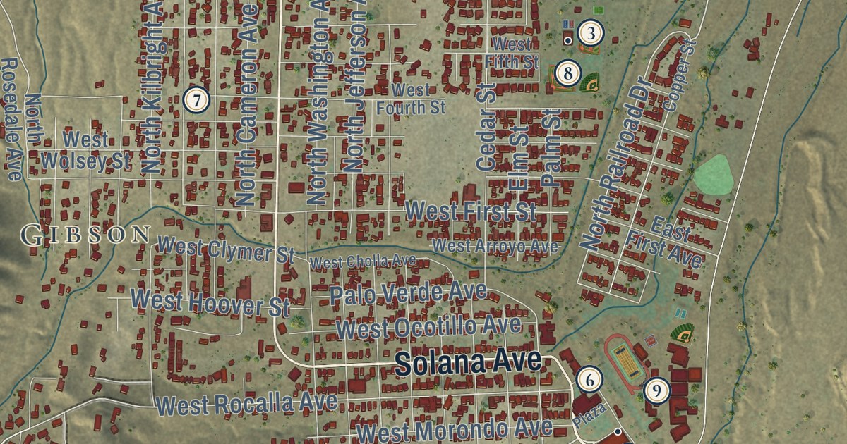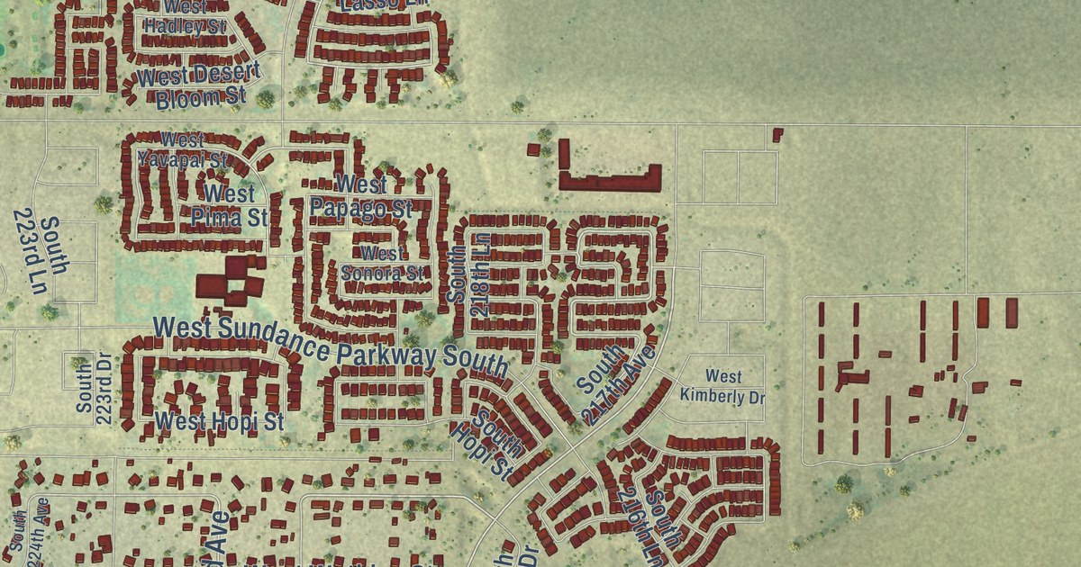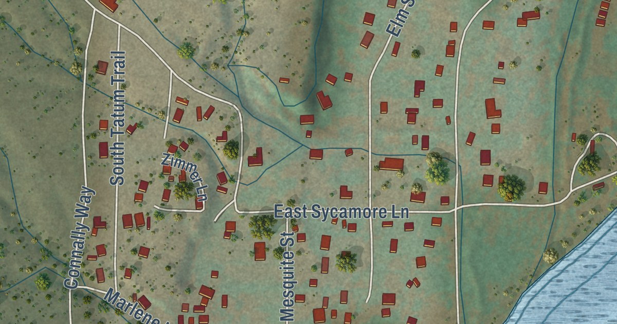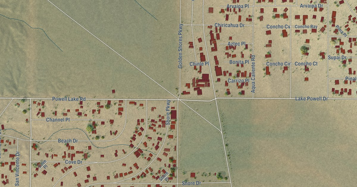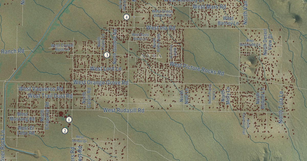
This beautifully detailed map of Picture Rocks, Arizona was created in 2026 using aerial imagery combined with modern topographical, census, street and landmark data. It’s a one-of-a-kind view of Picture Rocks that combines accurate data with a vintage aesthetic. The map shows every building in its true location, many of the roads carry their names, and the shaded topographic relief shows the shape of the land.
See the Picture Rocks, Arizona map on a wall
The Picture Rocks map as an 18 x 24 inch print in a black frame.

Explore an aerial view of Picture Rocks, Arizona
On the map you’ll find Avra, along with West Ina Road, West Sunset Road, North Eakers Avenue, West Manville Road, North Anway Road, North Trico Road, North Avra Road, West Orange Grove Road, North Sandario Road, West Rudasill Road, North Sanders Road, and more. If you look closely you can even find your house accurately drawn in its correct location. Zoom in on the preview to look for yours.
Take a closer look at the Picture Rocks map
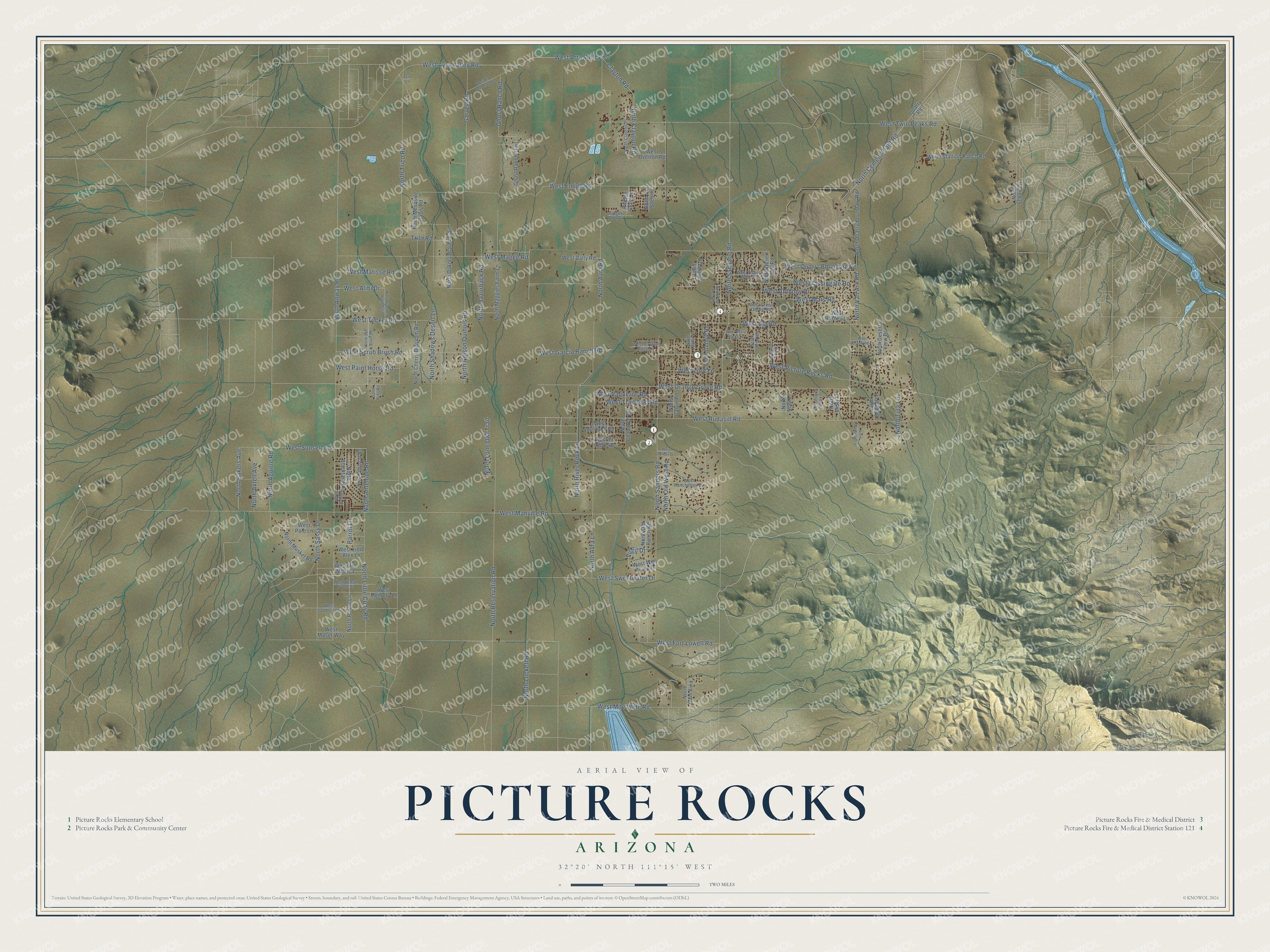
Click to explore a larger preview. The digital watermark does not appear on printed maps.
Street and place names on the Picture Rocks, Arizona map
These names are printed on the map of Picture Rocks, Arizona.
Places: Avra.
Streets and roads: West Ina Road, West Sunset Road, North Eakers Avenue, West Manville Road, North Anway Road, North Trico Road, North Avra Road, West Orange Grove Road, North Sandario Road, West Rudasill Road, North Sanders Road, West Magee Road.
More street names, A to Z
Avra Lane, Clayton Road, Finger Aloe Street, Garvey Road, Ghost Ranch Road, Ghost Ranch Trail, North Aguirre Road, North Antelope Road, North Avra Lane, North Axtell Avenue, North Blacktail Road, North Bobcat Lane, North Calvin Road, North Cam Avra, North Cement Plant Road, North Chaparral Road, North Cherry Blossom Road, North Clayton Place, North Clayton Road, North Dakota Plains Trail, North Desert Pass Road, North Desert View Drive, North Gambel Quail Trail, North Guthrie Road, North Little Cody Road, North Lone Owl Trail, North Luckett Road, North Maggies Farm Lane, North Mesquite Oasis Road, North Misty Lane, North Musket Road, North Nelson Quihuis Road, North Noel Lane, North Old Ranch Road, North Old West Road, North Parrot Lane, North Pear Tree Road, North Pelto Path, North Prairie Drive, North Prairie Wolf Lane, North Quarry Boundary Road, North Razorback Road, North Reservation Road, North River Rock Lane, North Sabi Road, North Salt Brush Road, North Sassy Drive, North Scenic Drive, North Shadows Desert Lane, North Steele Drive, North Tarantula Trail, North Taylor Lane, North Tula Lane, North Van Ark Road, North Via Socorro, North Whitetail Road, Parrot Lane, Quarry Road, Ribbon Grass Street, Sand Ruby Road, Trilo Road, Virgil Drive, West Alibi Drive, West Anthony Drive, West Arra Valley Road, West Avra Valley Road, West Barney Lane, West Busterville Lane, West Crystal Rose Lane, West Dally Road, West Desert Wren Drive, West Dusty Rocks Lane, West El Lobo Road, West El Paso Gas Road, West Emigh Road, West Fort Lowell Road, West Garcia Ranch Road, West Green Desert Road, West Little Alex Lane, West Lord Lane, West Mars Road, West Maser Way, West Massingale Road, West Matisse Road, West Memory Lane, West Mile Wide Road, West Mustang Road, West Ocean Front Street, West Overton Road, West Paint Horse Road, West Picture Rocks Road, West Polo Lane, West Quarry Boundary Road, West Ranchettes Drive, West Saddle Trail, West Scrub Brush Road, West Sunset Drive, West Sweetwater Drive, West Trail Dust Road, West Tucker Road, West Twin Peaks Road, West Vaqueros Road, West Via Monica, West Well Pump Drive, White Stallion Ranch Road.
This beautifully detailed map of Picture Rocks makes an attractive addition to your office, library, or den, and it can even be used to teach children the geography and history of the area. It also makes a great gift for anyone with Picture Rocks roots. When you’re done exploring, click here to get your copy of the Picture Rocks map.