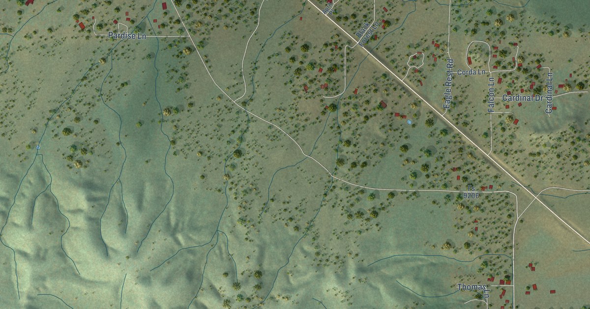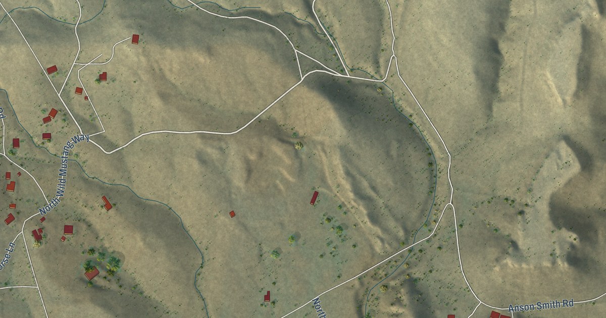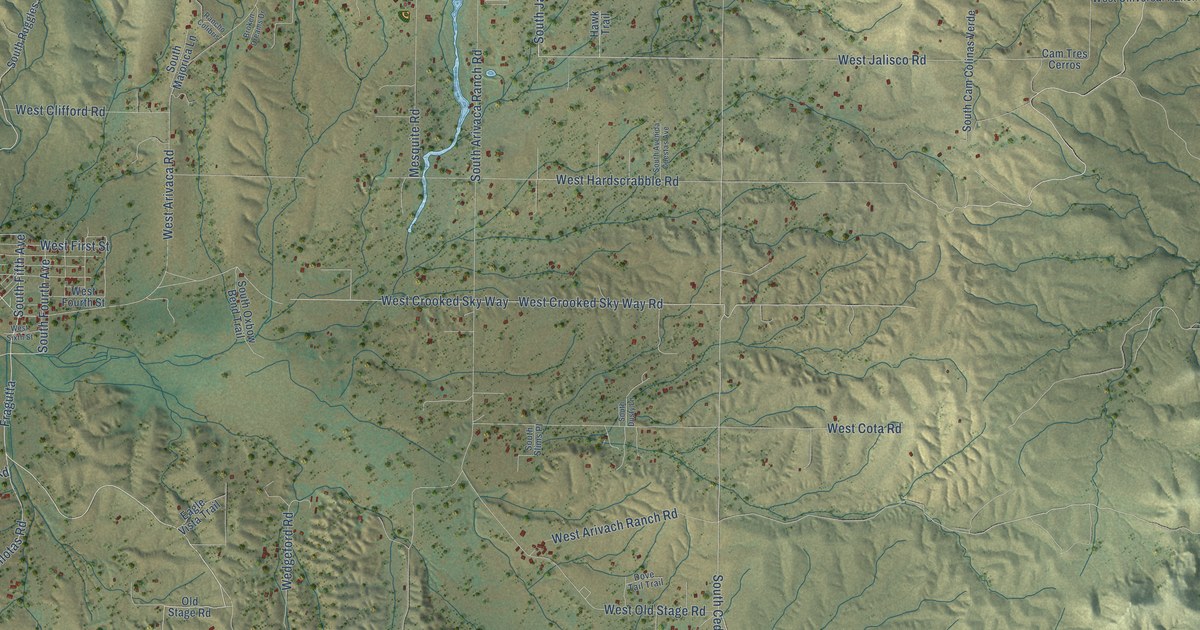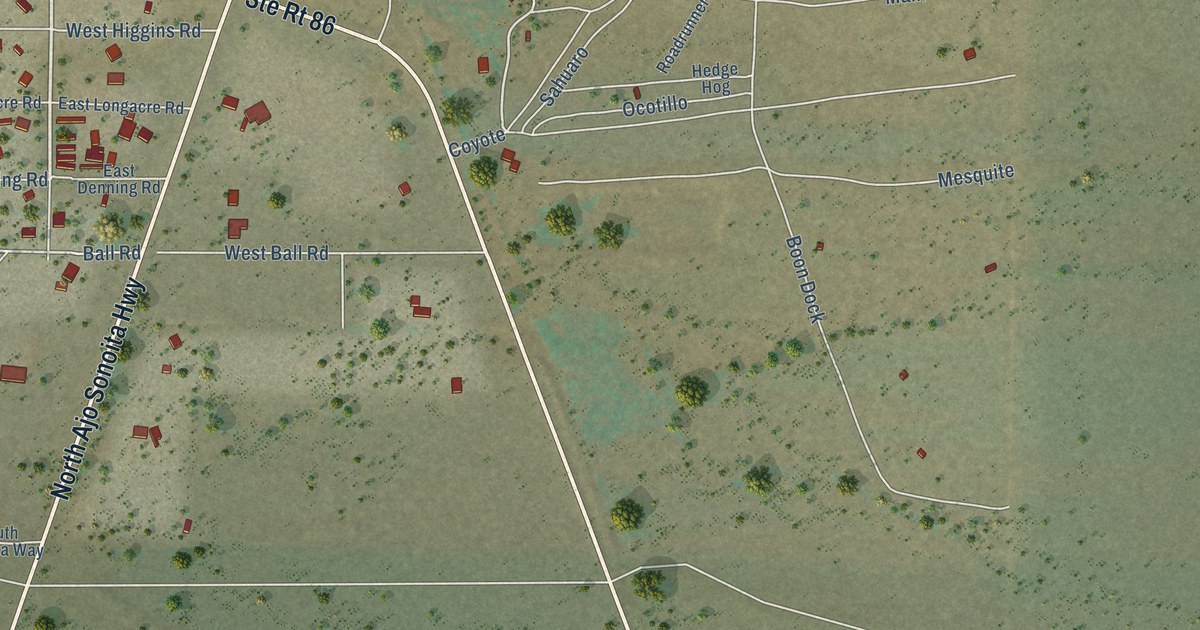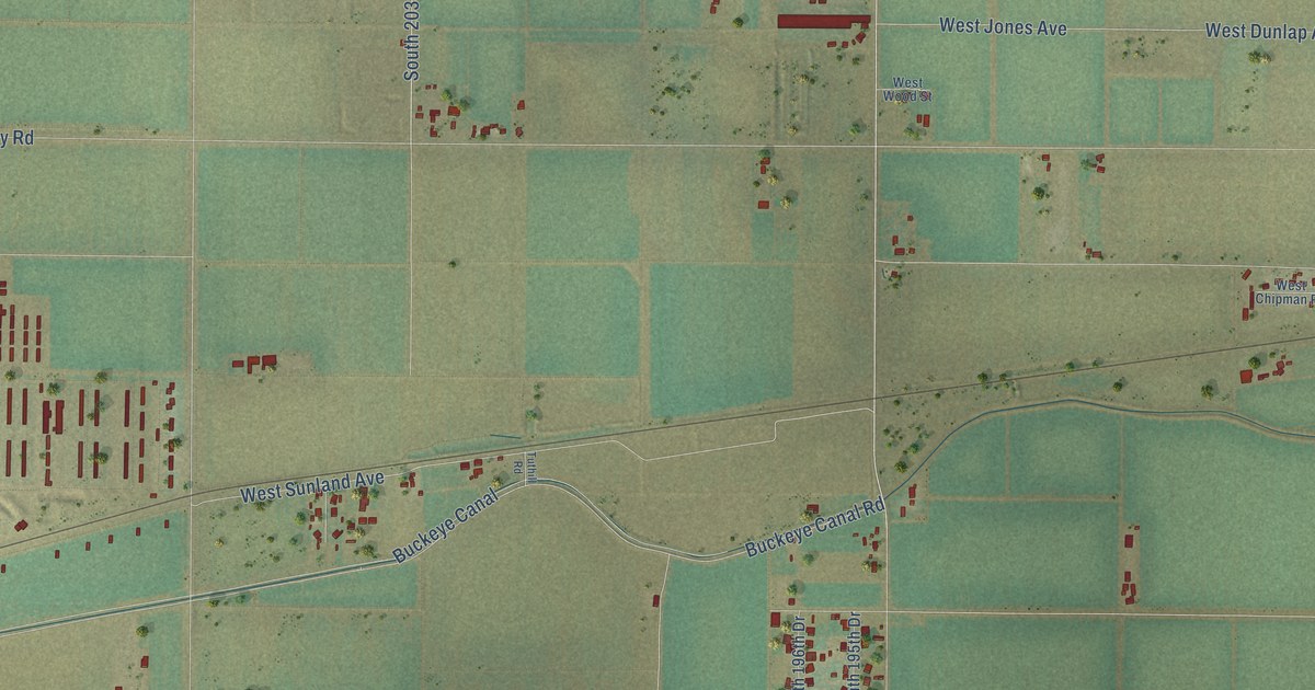
This beautifully detailed map of Liberty, Arizona was created in 2026 using aerial imagery combined with modern topographical, census, street and landmark data. It’s a one-of-a-kind view of Liberty that combines accurate data with a vintage aesthetic. The map shows every building in its true location, many of the roads carry their names, and the shaded topographic relief shows the shape of the land.
Explore an aerial view of Liberty, Arizona
On the map you’ll find South Dean Road, West Hilton Avenue, West Capistrano Avenue, West Sherman Street, South Perryville Road, South 222nd Avenue, West Tonto Street, South 203rd Avenue, Perryville Road, West Ripple Road, South 221st Avenue, West Jones Avenue, and more. If you look closely you can even find your house accurately drawn in its correct location. Zoom in on the preview to look for yours.
Take a closer look at the Liberty map
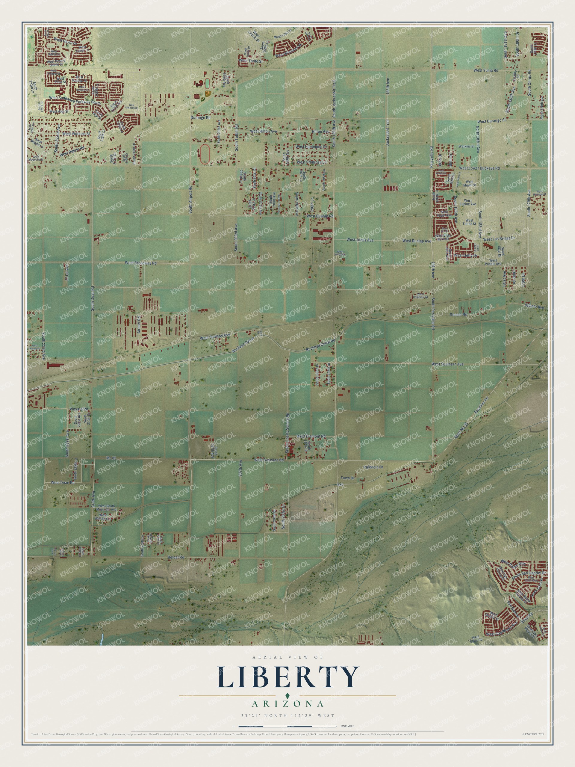
Names on this map
These names are printed on this map.
Streets and roads: South Dean Road, West Hilton Avenue, West Capistrano Avenue, West Sherman Street, South Perryville Road, South 222nd Avenue, West Tonto Street, South 203rd Avenue, Perryville Road, West Ripple Road, South 221st Avenue, West Jones Avenue.
More street names, A to Z
179th Drive, 180th Drive, 181st Avenue, 185th Drive, 186th Drive, 187th Avenue, 195th Avenue, 196th Lane, 207th Avenue, 219th Avenue, 221st Avenue, Airport Road, Atlanta Avenue, Baseline Road, Beloat Road, Buckeye Canal, Buckeye Canal Road, Castillo Lane, Durango Road, Elliot Road, Extension, Fawn Drive, Hilton Avenue, Jackrabbit Trail, Mc 85, North 183rd Avenue, Roeser Road, San Gabriel, South 178th Avenue, South 178th Lane, South 179th Avenue, South 180th Avenue, South 180th Drive, South 181st Avenue, South 181st Drive, South 182nd Avenue, South 182nd Drive, South 183rd Avenue, South 183rd Drive, South 184th Lane, South 185th Avenue, South 185th Drive, South 186th Avenue, South 186th Lane, South 195th Avenue, South 195th Drive, South 195th Lane, South 196th Drive, South 197th Avenue, South 197th Drive, South 197th Lane, South 198th Avenue, South 199th Avenue, South 199th Drive, South 200th Avenue, South 200th Lane, South 201st Avenue, South 201st Drive, South 201st Lane, South 202nd Drive, South 202nd Lane, South 203rd Drive, South 204th Drive, South 205th Avenue, South 206th Avenue, South 207th Avenue, South 213th Drive, South 214th Drive, South 214th Lane, South 215th Drive, South 216th Drive, South 216th Lane, South 217th Avenue, South 217th Drive, South 218th Drive, South 218th Lane, South 219th Drive, South 219th Lane, South 220th Avenue, South 220th Lane, South 221st Drive, South 222nd Lane, South 223rd Avenue, South 223rd Drive, South 223rd Lane, South 224th Avenue, South 225 Avenue, South Airport Road, South Citrus Road, South Hopi Street, South Jackrabbit Trail, South Liberty School Road, South San Gabriel Drive, South San Miguel Drive, South Tuthill Road, Tuthill Road, Valencia Drive, Vinyard Road, Watkins Street, West Baseline Road, West Broadway Road, West Chipman Road, West Dean Road, West Desert Bloom Street, West Devin Drive, West Dunlap Avenue, West Dunlap Road, West Durango Street, West Elliot Road, West Estes Way, West Fremont Road, West Fulton Street, West Getty Drive, West Hadley Street, West Hammond Drive, West Hidalgo Street, West Hopi Street, West Illini Street, West Kendall Street, West Kimberly Drive, West Las Brisas Drive, West Lasso Lane, West Lilac Street, West Lincoln Street, West Lower Buckeye Road, West Lupine Avenue, West Magnolia Street, West Mc 85, West McNeil Street, West Meade Lane, West Miami Street, West Papago Street, West Paseo Way, West Pima Street, West Pioneer Street, West Primrose Lane, West Pueblo Avenue, West San Carlos Drive, West Sonora Street, West Southern Avenue, West South Mountain Avenue, West Sundance Parkway South, West Sunland Avenue, West Sweet Acacia Drive, West Vista Norte Street, West Vogel Avenue, West Watkins Street, West Winston Lane, West Wood Street, West Yavapai Street, West Yuma Road.
See it on a wall
The Liberty map as a framed print. Swipe for more.


This beautifully detailed map of Liberty makes an attractive addition to your office, library, or den, and it can even be used to teach children the geography and history of the area. It also makes a great gift for anyone with Liberty roots. When you’re done exploring, click here to get your copy of the Liberty map.