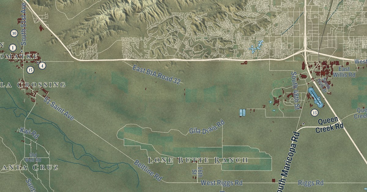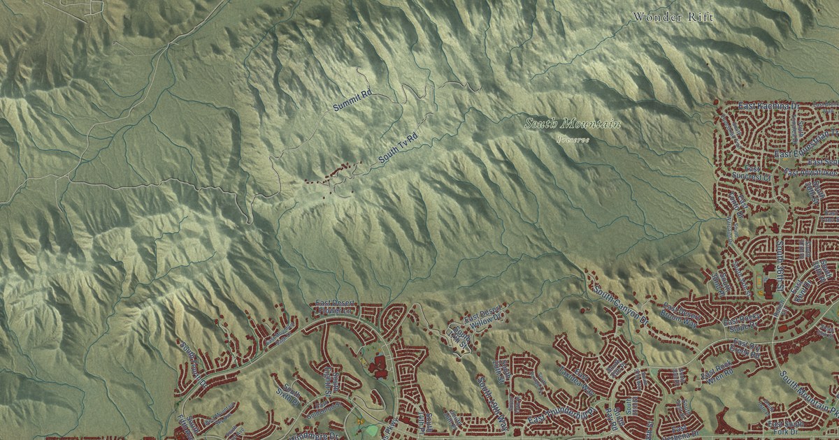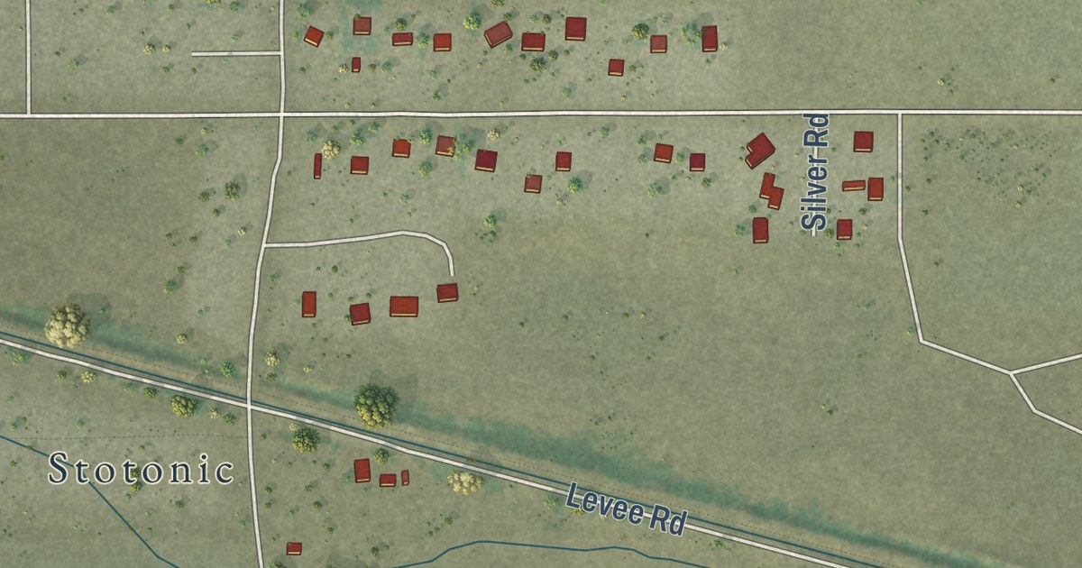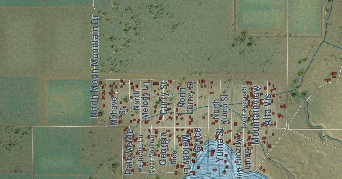
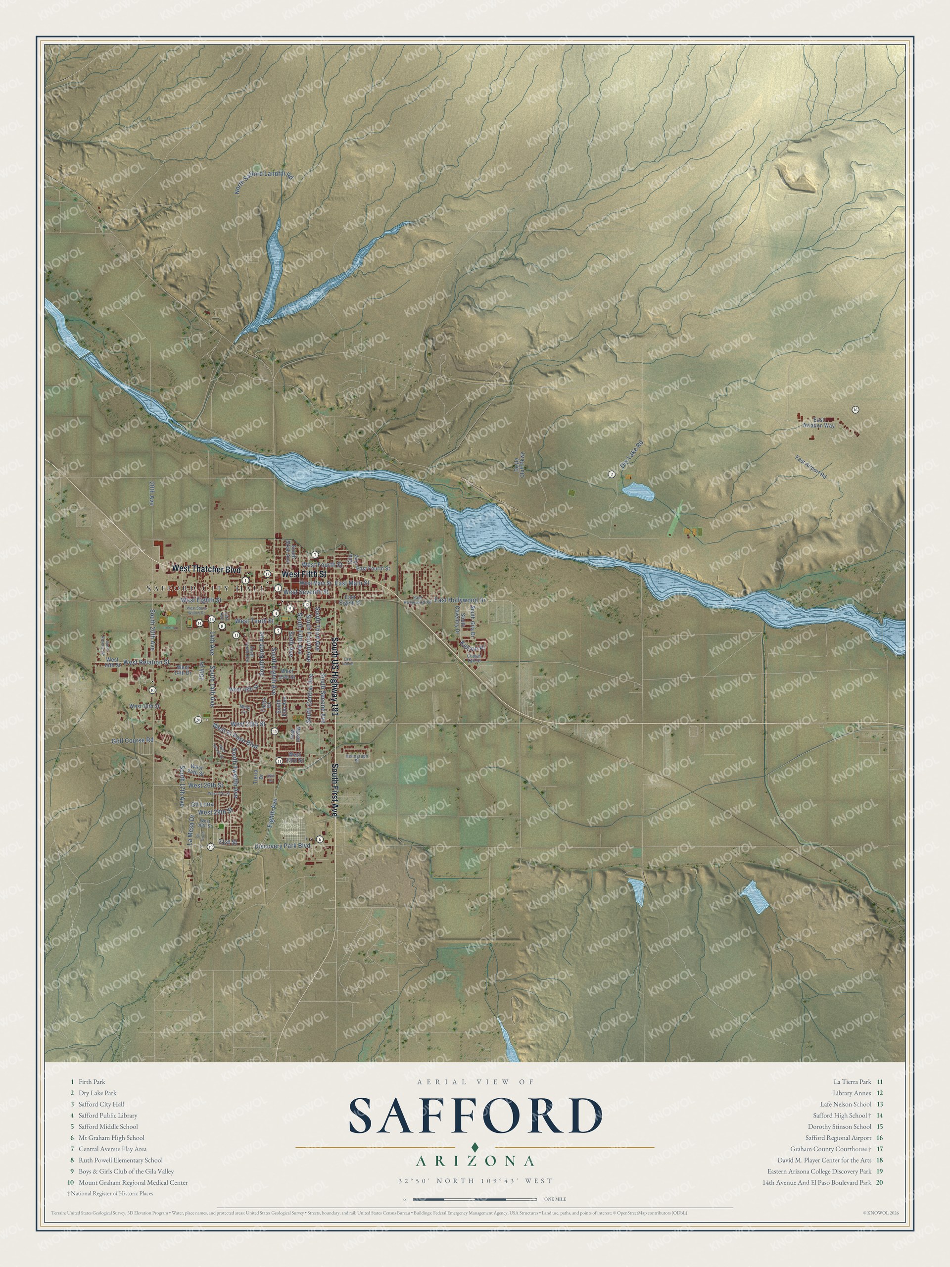
This beautifully detailed map of Safford, Arizona was created in 2026 using aerial imagery combined with modern topographical, census, street and landmark data. It’s a one-of-a-kind view of Safford that combines accurate data with a vintage aesthetic. The map shows every building in its true location, many of the roads carry their names, and the shaded topographic relief shows the shape of the land.
See the Safford, Arizona map on a wall
The Safford map as an 18 x 24 inch print in a black frame.

Explore an aerial view of Safford, Arizona
On the map you’ll find Safford City Hall and Safford Cemetery, along with South First Avenue, West Fifth Street, South US Highway 191, West Thatcher Boulevard, West Relation Street, East Hollywood Drive, South Fifth Avenue, Sixth Avenue, South 20th Avenue, West Eighth Street, and more. If you look closely you can even find your house accurately drawn in its correct location. Zoom in on the preview to look for yours.
Did you know this piece of Safford, Arizona history?
Three men, Joshua Eaton Bailey, Hiram Kennedy and Edward Tuttle, founded Safford. High water had wrecked their canal and dam work at Gila Bend the summer before. They left in the winter of 1873 to 1874 and laid out the town site early in 1874. The town honors Territorial Governor Anson P. K. Safford.
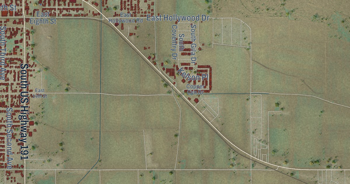
Take a closer look at the Safford map
Click to explore a larger preview. The digital watermark does not appear on printed maps.
Street and place names on the Safford, Arizona map
These names are printed on the map of Safford, Arizona.
Places: Safford City Hall and Safford Cemetery.
Streets and roads: South First Avenue, West Fifth Street, South US Highway 191, West Thatcher Boulevard, West Relation Street, East Hollywood Drive, South Fifth Avenue, Sixth Avenue, South 20th Avenue, West Eighth Street, 14th Avenue, South Eighth Avenue.
More street names, A to Z
13th Avenue, 15th Place, 20th Avenue, 25th Street, 31st Street, Cll Luna, Cll Orion, Copper Cyn Drive, Discovery Park Boulevard, Doyle Cluff Parkway, Dry Lake Road, East 14th Street, East Airport Road, East Aviation Way, East Eighth Street, East Fourth Street, East Hollywood Road, East Main Street, Eighth Avenue, Fargo Drive, Gila Avenue, Golf Course Road, Heliograph Street, Kelson Place, La Mesa Drive, Mason Way, Mesa Circle, North Safford Landfill Road, South 14th Avenue, South 17th Avenue, South Central Avenue, South Coventry Drive, South Elm Avenue, South Fourth Avenue, South Gila Drive, South Ninth Avenue, South Roberts Road, South Second Avenue, South Sixth Avenue, South Tenth Avenue, South Third Avenue, South Twelfth Avenue, Tierra Drive, West 14th Drive, West 14th Street, West 15th Street, West 16th Street, West 18th Street, West 20th Street, West 23rd Street, West 24th Street, West 26th Street, West 27th Street, West 29th Street, West 30th Street, West El Paso Boulevard, West Fourth Street, West Main Street, West Seventh Street, West Stone Willow Drive, West Tenth Street, West Tucson Street.
This beautifully detailed map of Safford makes an attractive addition to your office, library, or den, and it can even be used to teach children the geography and history of the area. It also makes a great gift for anyone with Safford roots. When you’re done exploring, click here to get your copy of the Safford map.