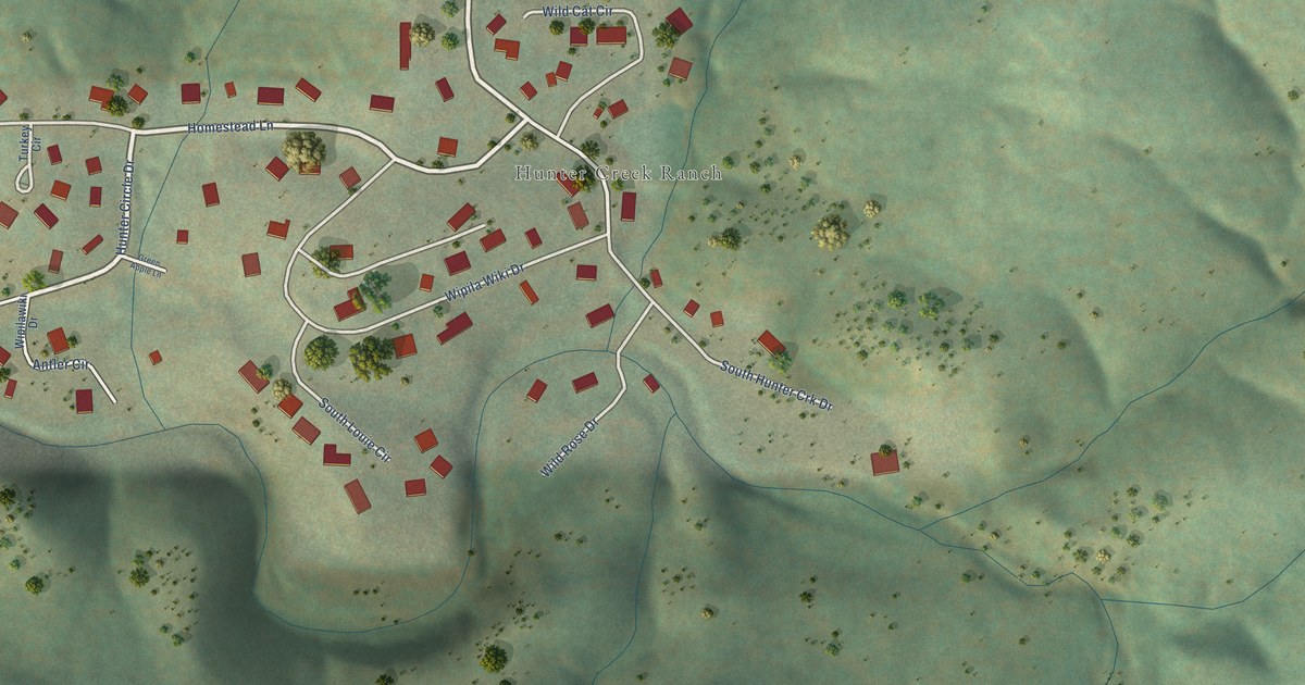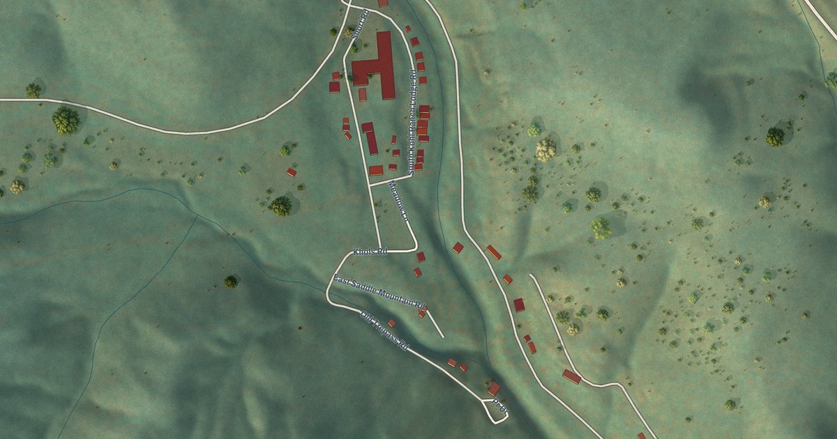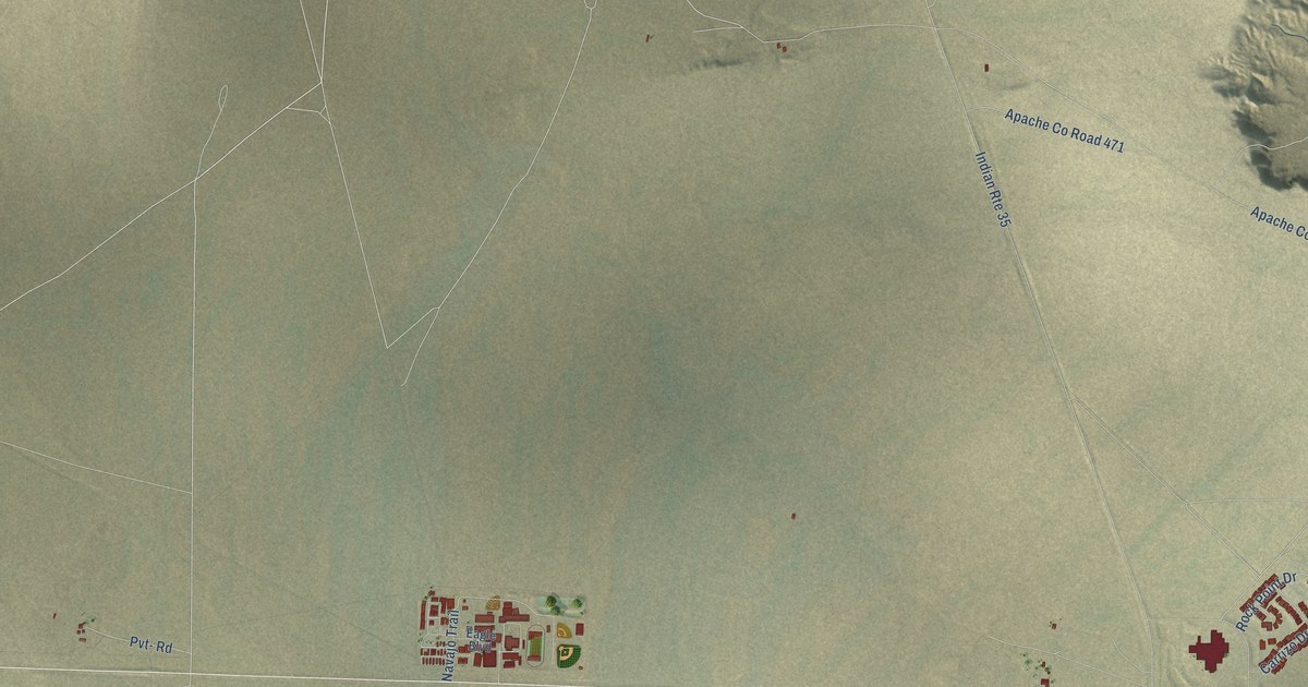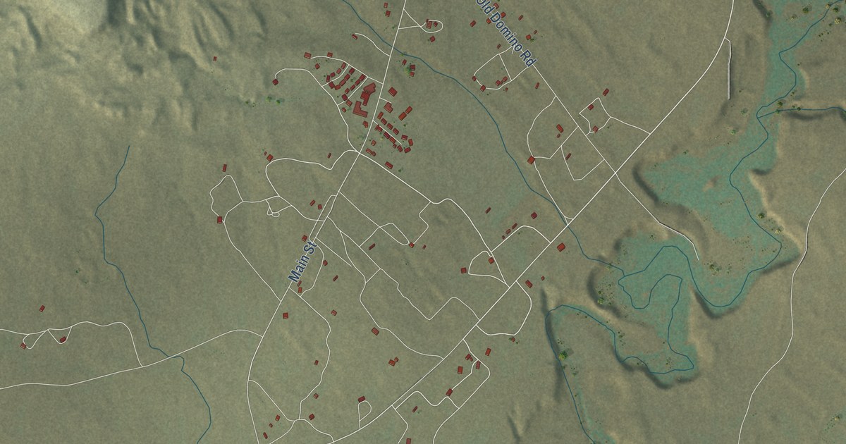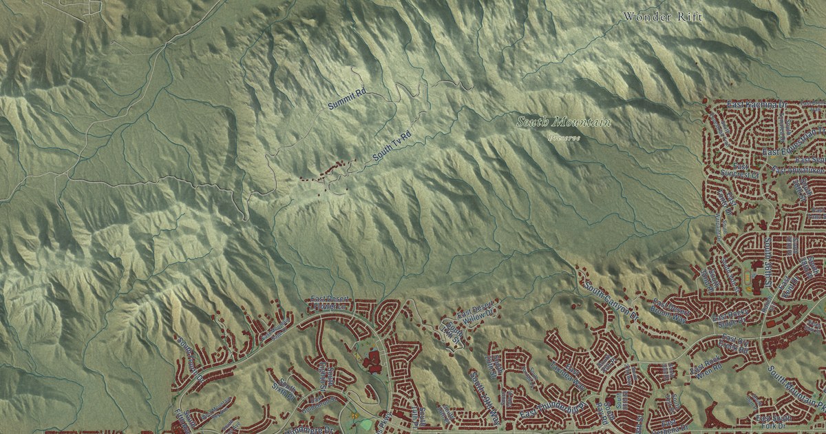
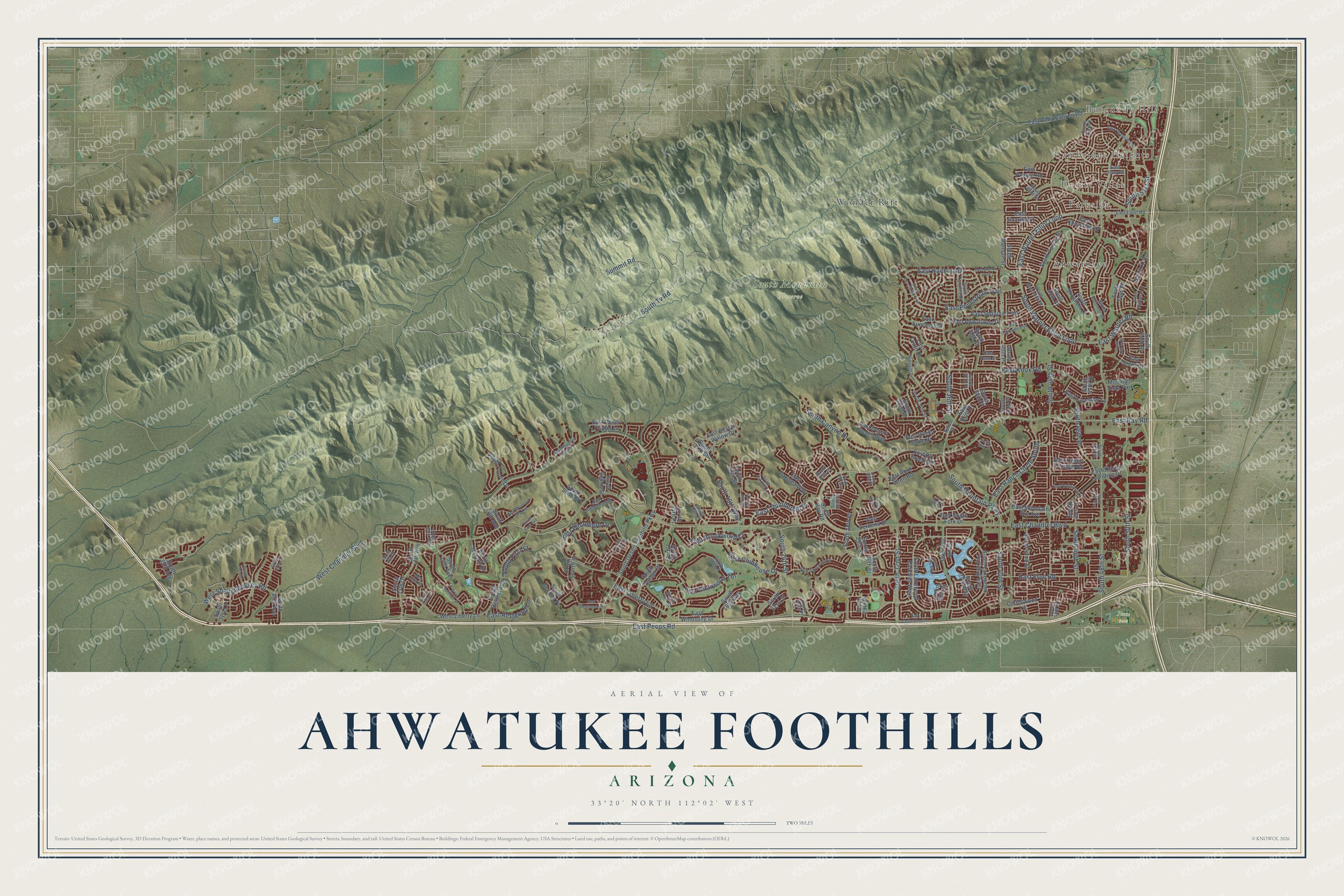
This beautifully detailed map of Ahwatukee Foothills, Arizona was created in 2026 using aerial imagery combined with modern topographical, census, street and landmark data. It’s a one-of-a-kind view of Ahwatukee Foothills that combines accurate data with a vintage aesthetic. The map shows every building in its true location, many of the roads carry their names, and the shaded topographic relief shows the shape of the land.
Explore an aerial view of Ahwatukee Foothills, Arizona
On the map you’ll find Burgundy Hill, Desert Villas, Cambridge Heights, Parkside, Pecos Park, South Mountain Preserve, Wonder Rift, and Ahwatukee, along with South 44th Street, East Liberty Lane, South 46th Street, South 51st Street, and more. If you look closely you can even find your house accurately drawn in its correct location. Zoom in on the preview to look for yours.
Take a closer look at the Ahwatukee Foothills map
Names on this map
These names are printed on this map.
Places: Burgundy Hill, Desert Villas, Cambridge Heights, Parkside, Pecos Park, South Mountain Preserve, Wonder Rift, Ahwatukee and Mountain Vista Park.
Streets and roads: South 44th Street, East Liberty Lane, South 46th Street, South 51st Street, East Brookwood Court, South Warner Elliot Loop, East Warner Elliot Loop, East Ray Road, East Redwood Lane, East Warner Road, South 36th Street, South Mountain Parkway.
More street names, A to Z
Cottonwood Lane, East Ahwatukee Drive, East Briarwood Terrace, East Bronco Trail, East Cedarwood Lane, East Chandler Boulevard, East Cheyenne Drive, East Clubhouse Drive, East Desert Broom Way, East Desert Flower Lane, East Desert Trumpet Road, East Desert Willow Drive, East Dry Creek Road, East Elliot Road, East Equestrian Trail, East Frye Road, East Glenhaven Drive, East Goldenrod Street, East Jicarilla Street, East Kachina Drive, East Kent Drive, East Knox Road, East Lakeside Boulevard, East Lavender Lane, East Mountain Sage Drive, East Mountain Sky Avenue, East Olney Drive, East Pearce Road, East Pecos Road, East Piedmont Road, East Pima Canyon Road, East Ranch Circle South, East Rock Wren Road, East Rocky Slope Drive, East Sequoia Trail, East Shomi Street, East Silverwood Drive, East South Fork Drive, East Suncrest Court, East Tano Street, East Taxidea Way, East Thistle Landing Drive, East Thunderhill Place, East Tonto Drive, East Verbena Drive, East White Aster Street, East Windmere Drive, East Windsong Drive, Ranch Circle, South 13th Place, South 14th Avenue, South 14th Place, South 14th Street, South 15th Avenue, South 15th Lane, South 16th Place, South 17th Avenue, South 17th Drive, South 17th Street, South 18th Drive, South 18th Place, South 18th Way, South 19th Way, South 20th Place, South 20th Street, South 22nd Street, South 24th Place, South 24th Street, South 25th Place, South 27th Avenue, South 27th Drive, South 27th Street, South 27th Way, South 28th Street, South 29th Drive, South 29th Place, South 29th Street, South 30th Place, South 30th Street, South 31st Lane, South 31st Street, South 32nd Place, South 32nd Street, South 34th Street, South 34th Way, South 35th Avenue, South 35th Street, South 35th Way, South 36th Place, South 37th Place, South 37th Way, South 38th Place, South 38th Street, South 39th Street, South 40th Place, South 40th Street, South 41st Place, South 42nd Street, South 43rd Place, South 43rd Street, South 44th Place, South 45th Place, South 45th Street, South 46th Place, South 47th Place, South 47th Street, South 47th Way, South 48th Street, South 50th Street, South 50th Way, South Canyon Drive, South Central Avenue, South Coconino Street, South Desert Foothills Parkway, South Eagleman Drive, South Eighth Street, South Equestrian Trail, South Fifth Avenue, South First Avenue, South First Street, South Fourth Drive, South Fourth Street, South Foxtail Lane, South Ki Road, South Kosh Street, South Lakewood Parkway East, South Lakewood Parkway West, South Mandan Street, South Potomac Street, South Ray Road, South Second Place, South Seventh Drive, South Shoshoni Drive, South Sixth Place, South Tenth Street, South Tomah Street, South Tomi Drive, South Tonalea Drive, South Tv Road, South Twelfth Street, South Warpaint Drive, Summit Road, West Chandler Boulevard, West Frye Road, West Liberty Lane, West Mountain Sky Avenue, West Saltsage Drive, West Shaughnessey Road.
See it on a wall
The Ahwatukee Foothills map as a framed print. Swipe for more.


This beautifully detailed map of Ahwatukee Foothills makes an attractive addition to your office, library, or den, and it can even be used to teach children the geography and history of the area. It also makes a great gift for anyone with Ahwatukee Foothills roots. When you’re done exploring, click here to get your copy of the Ahwatukee Foothills map.