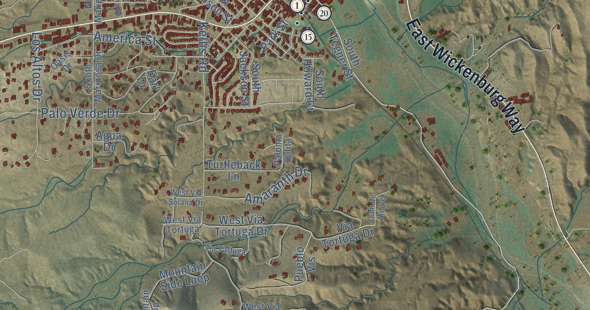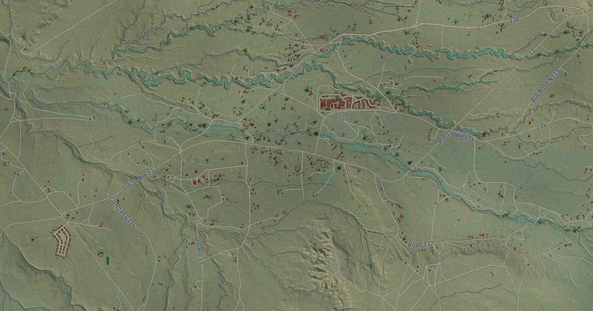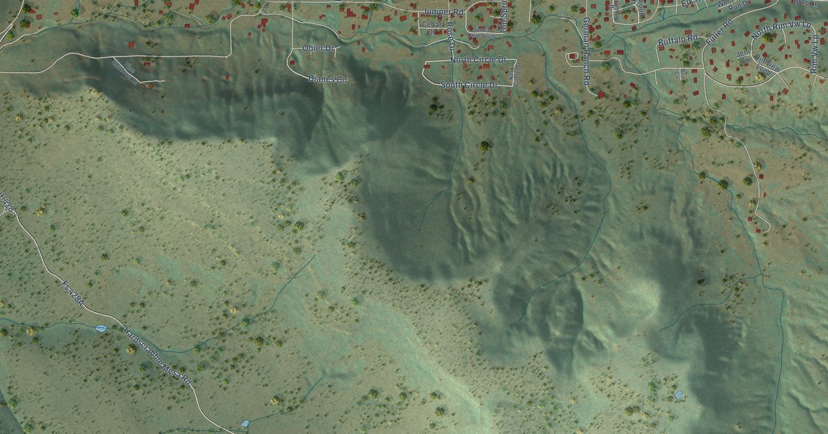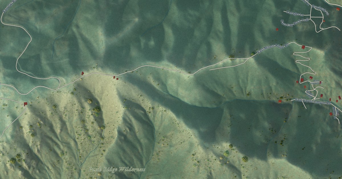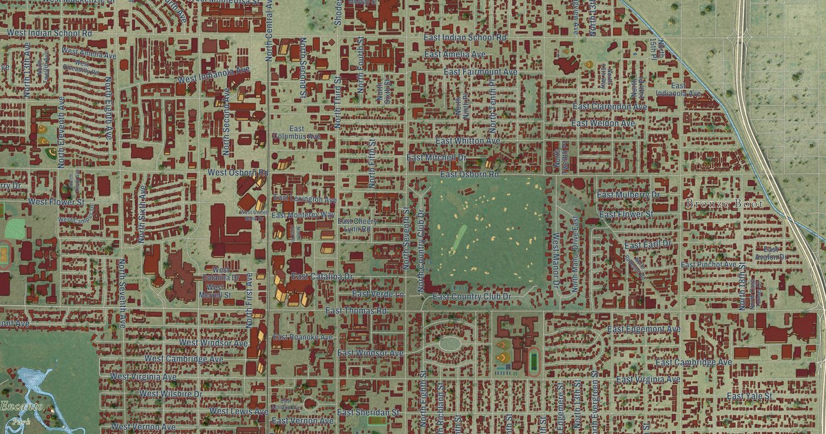
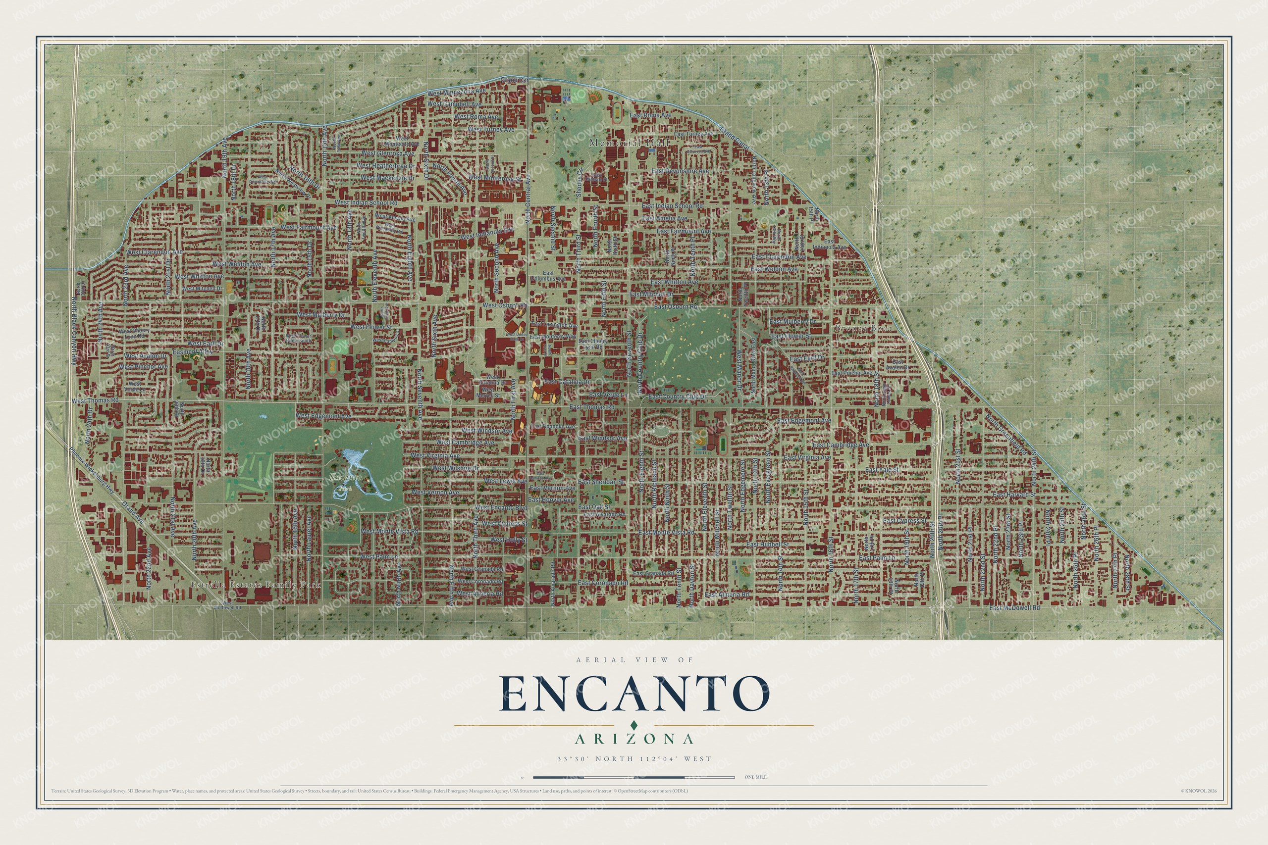
This beautifully detailed map of Encanto, Arizona was created in 2026 using aerial imagery combined with modern topographical, census, street and landmark data. It’s a one-of-a-kind view of Encanto that combines accurate data with a vintage aesthetic. The map shows every building in its true location, many of the roads carry their names, and the shaded topographic relief shows the shape of the land.
Explore an aerial view of Encanto, Arizona
On the map you’ll find Memorial Hall, Bronze Boot, Estrella Estates Family Park, and Encanto Park, along with West Thomas Road, West Edgemont Avenue, North 21st Drive, East Windsor Avenue, West Glenrosa Avenue, West Virginia Avenue, North Eighth Avenue, North 18th Drive, and more. If you look closely you can even find your house accurately drawn in its correct location. Zoom in on the preview to look for yours.
Take a closer look at the Encanto map
Names on this map
These names are printed on this map.
Places: Memorial Hall, Bronze Boot, Estrella Estates Family Park and Encanto Park.
Streets and roads: West Thomas Road, West Edgemont Avenue, North 21st Drive, East Windsor Avenue, West Glenrosa Avenue, West Virginia Avenue, North Eighth Avenue, North 18th Drive, East Monte Vista Road, North Central Avenue, East Oak Street, North Third Avenue.
More street names, A to Z
Easment Alley, East Almeria Road, East Alvarado Road, East Amelia Avenue, East Ashland Avenue, East Avalon Drive, East Cambridge Avenue, East Catalina Drive, East Cheery Lynn Road, East Clarendon Avenue, East Columbus Avenue, East Coronado Road, East Country Club Drive, East Cypress Street, East Devonshire Avenue, East Earll Drive, East Edgemont Avenue, East Fairmount Avenue, East Flower Street, East Glenrosa Avenue, East Granada Road, East Harvard Street, East Hoover Avenue, East Hubbell Street, East Indianola Avenue, East Indian School Road, East Lexington Avenue, East McDowell Road, East Midway Street, East Mitchell Drive, East Monterey Way, East Mulberry Drive, East Osborn Road, East Palm Lane, East Pinchot Avenue, East Roanoke Avenue, East Roma Avenue, East Sheridan Street, East Thomas Road, East Turney Avenue, East Verde Lane, East Vernon Avenue, East Virginia Avenue, East Weldon Avenue, East Whitton Avenue, East Yale Street, Grand Avenue, Grand Canal, Grand Csr, North 13th Avenue, North 13th Place, North 13th Street, North 13th Way, North 14th Avenue, North 14th Place, North 14th Street, North 15th Avenue, North 15th Drive, North 15th Place, North 15th Street, North 16th Avenue, North 16th Drive, North 16th Street, North 17th Avenue, North 17th Drive, North 17th Place, North 17th Street, North 18th Avenue, North 18th Place, North 18th Street, North 19th Avenue, North 19th Drive, North 19th Place, North 19th Street, North 20th Avenue, North 20th Drive, North 20th Place, North 20th Street, North 21st Avenue, North 21st Place, North 21st Street, North 22nd Avenue, North 22nd Place, North 22nd Street, North 23rd Avenue, North 23rd Drive, North 23rd Place, North 23rd Street, North 24th Avenue, North 24th Drive, North 24th Lane, North 24th Place, North 24th Street, North 25th Place, North 25th Street, North 26th Place, North 26th Street, North 27th Place, North 28th Street, North Alvarado Road, North Black Canyon Highway, North Casa Tomas Court, North Country Club Drive, North Dayton Street, North Edgemere Street, North Eighth Street, North Eleventh Avenue, North Eleventh Street, North Evergreen Street, North Fifth Avenue, North Fifth Street, North First Avenue, North First Place, North Fourth Avenue, North Fourth Street, North Greenfield Road, North Laurel Avenue, North Longview Avenue, North Manor Drive East, North Mitchell Street, North Ninth Avenue, North Ninth Place, North Ninth Street, North Randolph Road, North Richland Street, North Second Avenue, North Second Drive, North Second Street, North Seventh Avenue, North Seventh Street, North Sixth Avenue, North Sixth Drive, North Sixth Street, North Tenth Avenue, North Tenth Place, North Tenth Street, North Third Street, North Twelfth Avenue, North Twelfth Place, North Twelfth Street, North Westview Drive, Phoenix-Wickenburg Highway, Shodes Circle, West Almeria Road, West Amelia Avenue, West Avalon Drive, West Cambridge Avenue, West Campbell Avenue, West Campus Drive, West Catalina Drive, West Cheery Lynn Road, West Clarendon Avenue, West Coronado Road, West Cypress Street, West Devonshire Avenue, West Earll Drive, West Encanto Boulevard, West Fairmount Avenue, West Flower Circle South, West Flower Street, West Granada Road, West Heatherbrae Drive, West Holly Street, West Indianola Avenue, West Indian School Road, West Lewis Avenue, West Mackenzie Drive, West Manor Drive, West McDowell Road, West Merrell Street, West Minnezona Avenue, West Mitchell Drive, West Montecito Avenue, West Monterosa Street, West Monte Vista Road, West Mulberry Drive, West Osborn Road, West Palm Lane, West Piccadilly Road, West Pinchot Avenue, West Roma Avenue, West Turney Avenue, West United Bank Drive, West Verde Lane, West Vernon Avenue, West Weldon Avenue, West Whitton Avenue, West Wilshire Drive, West Windsor Avenue.
See it on a wall
The Encanto map as a framed print. Swipe for more.


This beautifully detailed map of Encanto makes an attractive addition to your office, library, or den, and it can even be used to teach children the geography and history of the area. It also makes a great gift for anyone with Encanto roots. When you’re done exploring, click here to get your copy of the Encanto map.