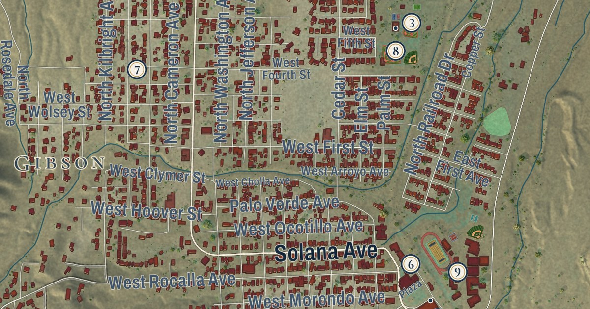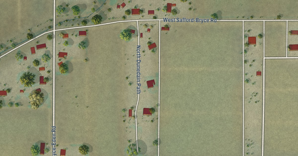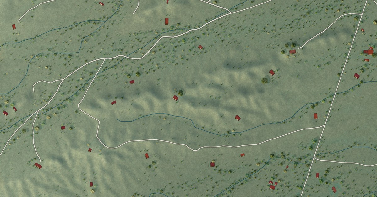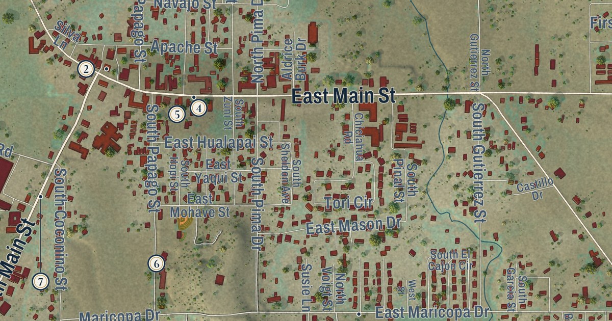
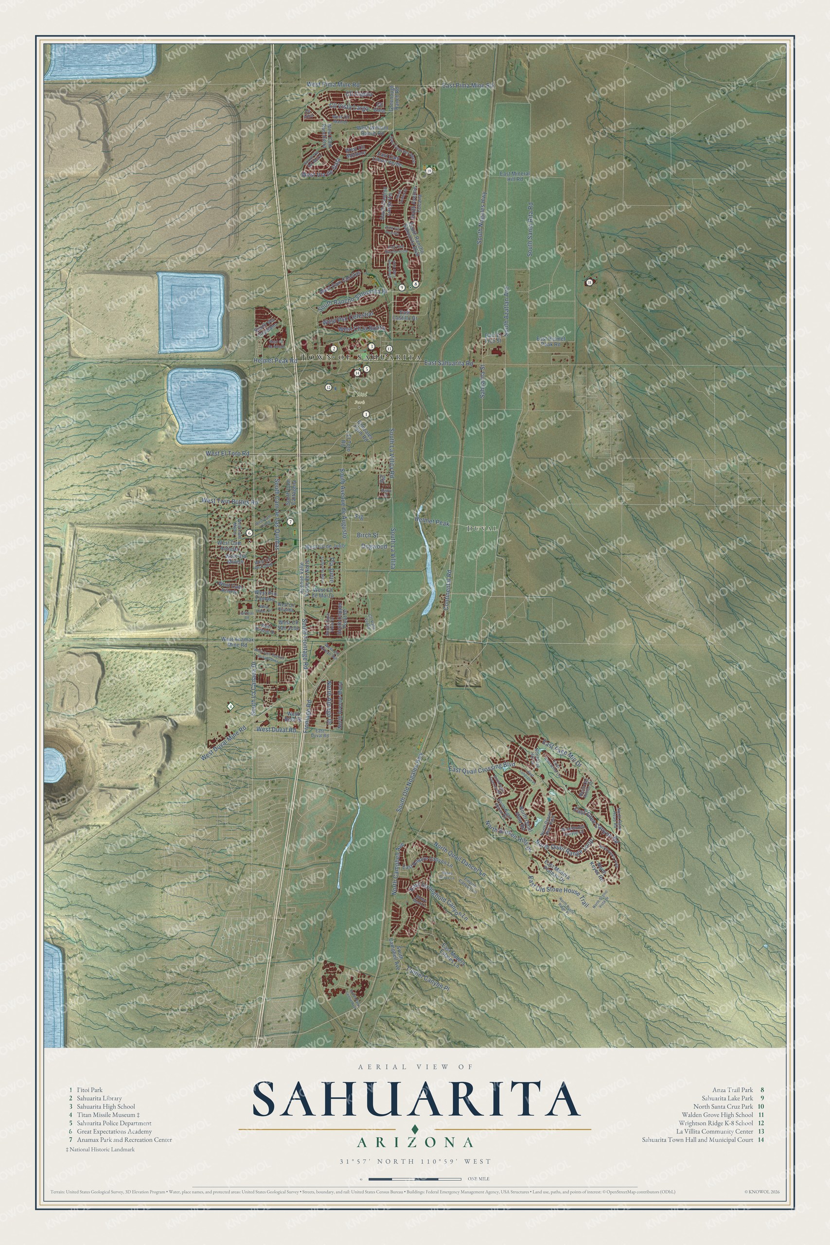
This beautifully detailed map of Sahuarita, Arizona was created in 2026 using aerial imagery combined with modern topographical, census, street and landmark data. It’s a one-of-a-kind view of Sahuarita that combines accurate data with a vintage aesthetic. The map shows every building in its true location, many of the roads carry their names, and the shaded topographic relief shows the shape of the land.
See the Sahuarita, Arizona map on a wall
The Sahuarita map as an 18 x 24 inch print in a black frame.

Explore an aerial view of Sahuarita, Arizona
On the map you’ll find Duval, I’itoi Park, and South Rancho Sahuarita Bl, along with South La Canada Drive, West Duval Road, Continental Road, South Old Nogales Highway, South Frontage Road, South Nogales Highway, South Santa Rita Road, Sahuarita Street, and more. If you look closely you can even find your house accurately drawn in its correct location. Zoom in on the preview to look for yours.
Did you know this piece of Sahuarita, Arizona history?
James Kilroy Brown started Sahuarita Ranch in 1879. He chose the name because so many saguaro cactuses grew in the area. The ranch was a staging stop between Tucson, Arivaca and Quijotoa. When Brown sold it in 1886, the region stalled for about thirty years.
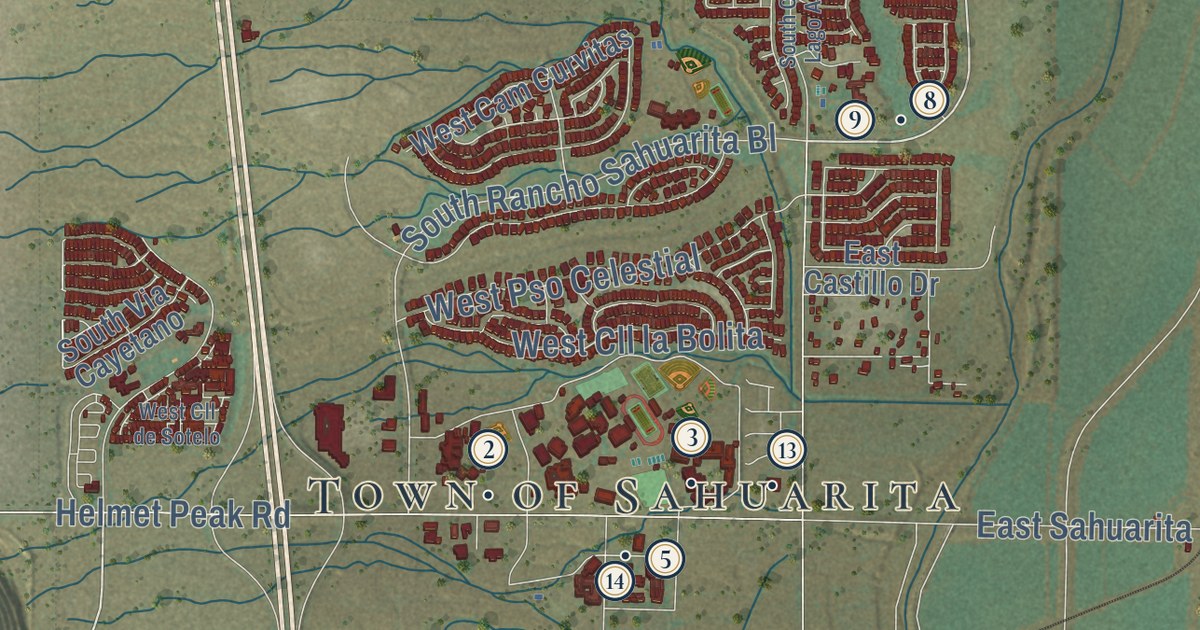
Take a closer look at the Sahuarita map
Click to explore a larger preview. The digital watermark does not appear on printed maps.
Street and place names on the Sahuarita, Arizona map
These names are printed on the map of Sahuarita, Arizona.
Places: Town of Sahuarita, Duval and I'itoi Park.
Streets and roads: South La Canada Drive, South Rancho Sahuarita Bl, West Duval Road, Continental Road, South Old Nogales Highway, South Frontage Road, South Nogales Highway, South Santa Rita Road, Sahuarita Street, South La Villita Road, South La Villita, West Twin Buttes Road.
More street names, A to Z
Avenue Valle Verde del Norte, Birch Street, Cedro Street, Cll Cajeta, Cll Gota, Cll Iribu, Cll Valle Verde, Cll Vista Larga, Dogwood, East Cam del Abeto, East Cam Limon Verde, East Cam Rancho Cielo, East Castillo Drive, East Duval Road, East El Fico Street, East Empire Canyon Lane, East Glen Canyon Road, East Helmet Peak Road, East Longspur Place, East Madera Estates Lane, East Madera Plateau Drive, East Mineral Hill Road, East Old Stone House Trail, East Page Mill Drive, East Pima Mine Road, East Quail Crossing Boulevard, East Sahuarita Road, East Spurwind Lane, East Stronghold Canyon Lane, East Via Teresita, El Toro Road, Empire Canyon Lane, Fig, Fig Street, Frontage Road, Gonzales Farm Road, Greenough Ranch Road, Helmet Peak, Helmet Peak Road, Hoffman Road, Mowry Wash Lane, Native Grove Lane, North Abrego Drive, North Alexis Loop, North Avenue Mena, North Broken Hills Drive, North Campbell Avenue, North Desert Deer Pass, North Keyes Road, North Night Heron Drive, North Oak Hill Lane, North Old Adobe Drive, North Quail Dancer Lane, North Quail Range Loop, North Quail View Road, North Rams Head Road, North Rustic Ridge Place, North Sage Sparrow Road, North Scenic Vista Drive, Pla Junio, South Avenue Cucana, South Avenue de Augusto, South Azatlan Avenue, South Cam Cartagena, South Cam de Las Quintas, South Camino Larga Vis, South Cam Lago Azul, South Campbell Avenue, South Copper Point Drive, South Dusk View Drive, South Park Centre Avenue, South Pla Mayo, South Rancho Sahuarita Boulevard, South Sumac Drive, South Via Cayetano, South Via del Moro, Tunnel Canyon Place, West Anamax Mine Road, West Beta Street, West Bonita Canyon Drive, West Bosque Drive, West Cam Acierto, West Cam Antigua, West Cam Curvitas, West Cam Cuzco, West Cam Manoj, West Cam Rancheria, West Cam Suenos de Sahuarita, West Cll Arroyo Sur, West Cll de Cobre, West Cll de Julio, West Cll de Marzo, West Cll de Sotelo, West Cll la Bolita, West Cll Marojo, West Cll Montero, West Cll Privada, West Cll San Jose, West Duval Mine Road, West Eldora Place, West El Toro Road, West Pima Mine Road, West Pso Celestial, West Pso Famoso, West Via de Gala, West Via Muleje, West William Ranch Road.
This beautifully detailed map of Sahuarita makes an attractive addition to your office, library, or den, and it can even be used to teach children the geography and history of the area. It also makes a great gift for someone who left Sahuarita and still calls it home. When you’re done exploring, click here to get your copy of the Sahuarita map.