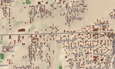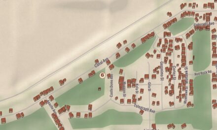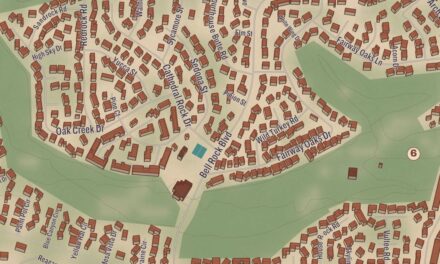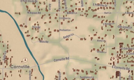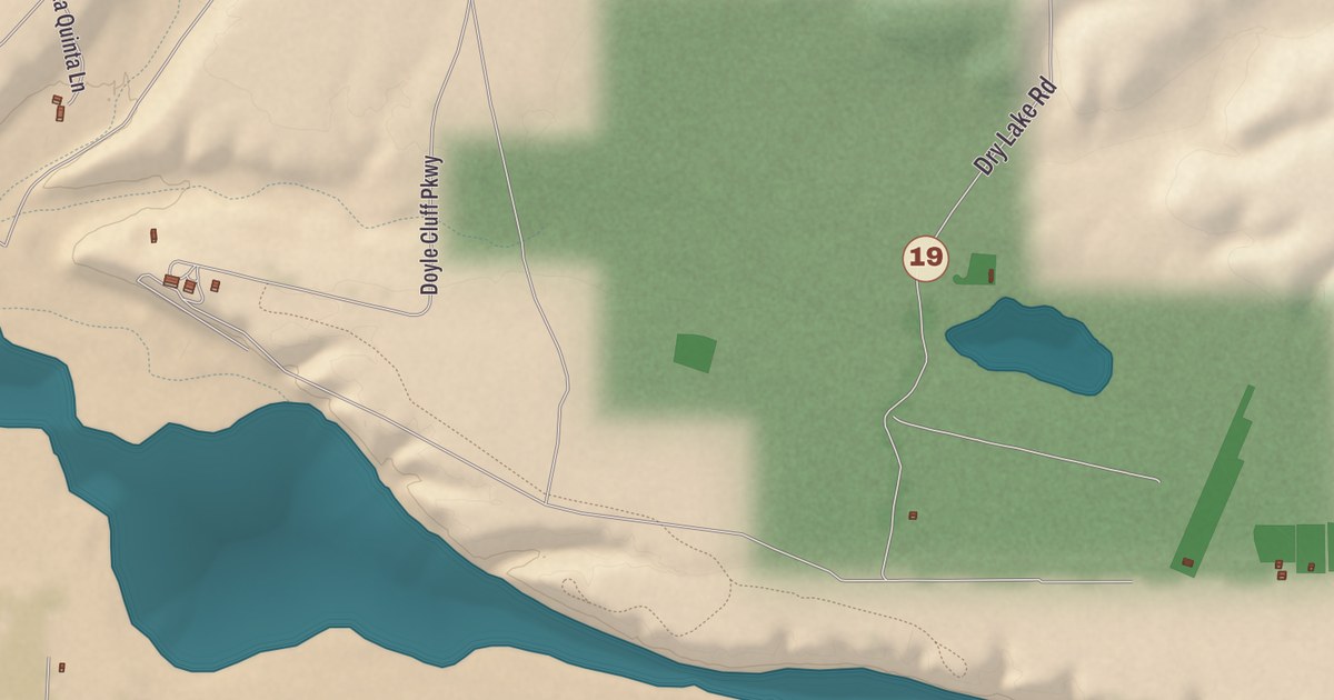
A billboard on U.S. Highway 70 sums Safford up as “Copper, Cattle & Cotton,” and three of its canals run across this map. It prints the Graham County Courthouse, Safford High School, the Library Annex, the Safford Public Library, Lafe Nelson School and Ruth Powell Elementary School, with the Highline Canal, the Sunflower Canal and the Union Canal giving shape to the valley.
Safford is a city in Graham County, and it’s the county seat.
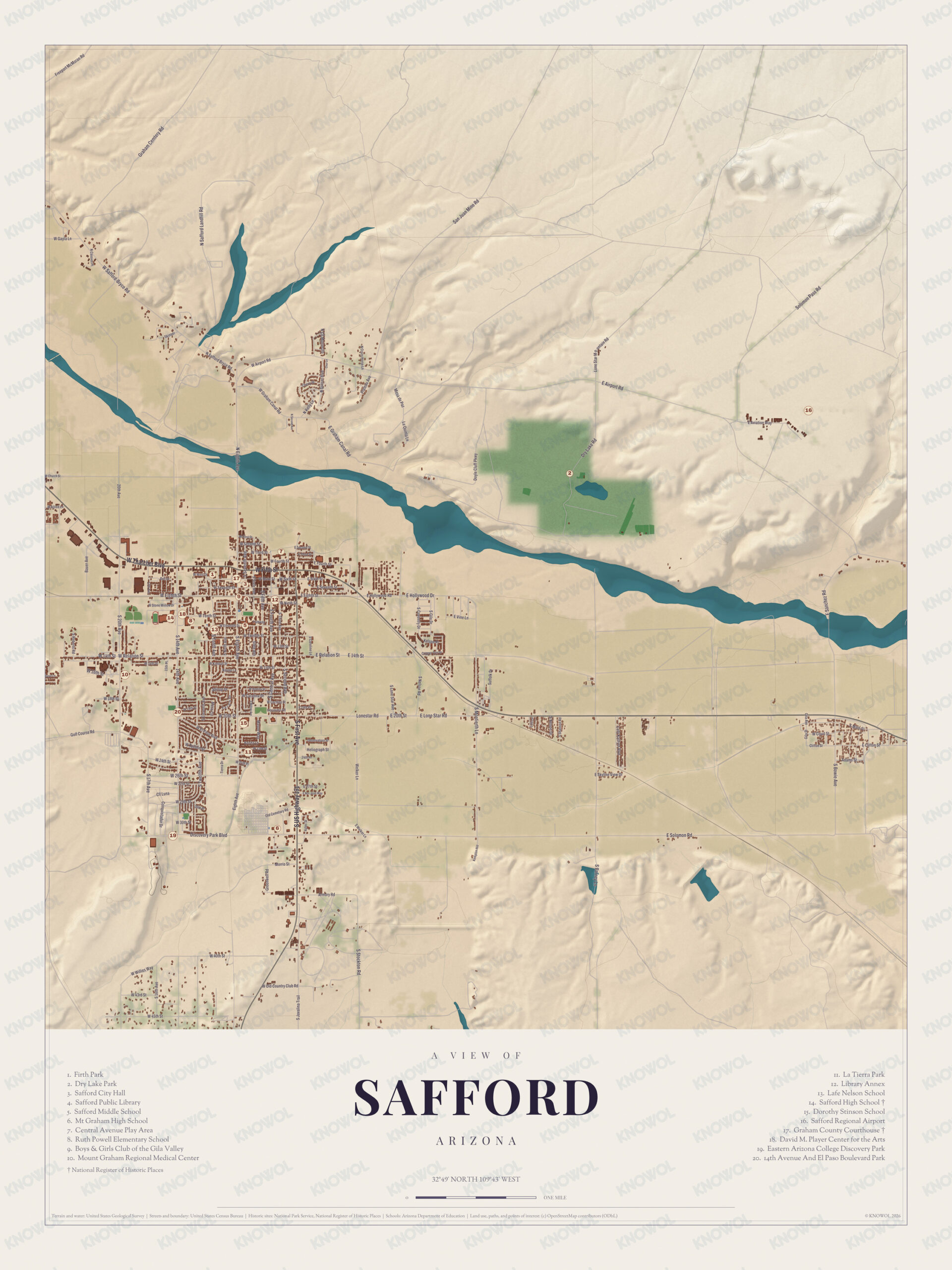
KNOWOL made this map in 2026 and gave modern data the look of a vintage atlas. The shaded relief of the landscape comes from United States Geological Survey elevation data, and the streets were drawn from Census Bureau files. Historic sites such as the Graham County Courthouse and Safford High School were confirmed against the National Park Service and the National Register of Historic Places; the old Safford High School building of 1915, listed in 1988, was torn down in 2007. In Western Apache the city is called Ichʼįʼ Nahiłtį́į́, and the Pinaleño Mountains, which have the greatest vertical relief of any range in Arizona, rise to the southwest.
Canal builders from Gila Bend
Safford was founded by Joshua Eaton Bailey, Hiram Kennedy and Edward Tuttle, who had been building canals and dams at Gila Bend until high water destroyed their work. They left in the winter of 1873 and 1874, and early in 1874 they and the others with them laid out a townsite and put up a few rough buildings. They named the town for Anson P. K. Safford, the third governor of Arizona Territory, who took an interest in the area and is remembered as the “Father of the Arizona Public Schools.” Bailey came to be called the “Father of Safford.” Latter-day Saint settlers brought brick-making skills and a tradition of building in brick, and James R. Welker, who farmed here, helped enlarge the Montezuma Canal and build the Sunflower Canal, and later served as water master. The town incorporated on October 10, 1901, and became the City of Safford in 1955.
Safford was Graham County’s seat in its early years, but after part of its adobe courthouse collapsed in 1883 the seat moved to Solomonville. The railroad reached Safford in 1895, Safford grew, and on June 28, 1915, the voters brought the county seat back. The Graham County Courthouse at 800 West Main Street, the county’s fifth, went up in 1916 in the Classic Revival style for $44,404, designed by the Arizona architects Royal W. Lescher and John Rinker Kibbey. Two justices of the Arizona Supreme Court, J. A. McAllister and Chief Justice Jesse A. Udall, began their careers in it, and it was listed on the National Register in 1982.
Click to explore a larger preview. The digital watermark does not appear on printed maps.
Names on this map
These names are printed on this map.
Streets and roads: Freeport McMoran Rd, Airport Rd, W Safford-Bryce Rd, Mesa de Paz, San Juan Mine Rd, E Airport Rd, Solomon Pass Rd, Relation St, Lonestar Rd, Golf Course Rd, Heliograph St, E Canal Rd.
More street names, A to Z
Cemetary Rd, Discovery Park Blvd, E Graham Canal Rd, E Hollywood Dr, E Old Country Club Rd, E Solomon Rd, La Quinta Ln, Sanchez Rd, Welker Ln, W Willies Way.
Big Seated Mountain
The mountain the county is named for stands a few miles southwest of the city. The Western Apache call it Dził Nchaa Sí’an, “Big Seated Mountain”; it’s one of their four holiest mountains and is held sacred by all of the region’s Native peoples. A U.S. Army lieutenant, William Emory, gave it the name Mount Graham in the 1840s, and at 10,720 feet it’s the highest point in Graham County and the southernmost peak in the continental United States above 10,000 feet. The University of Arizona’s Mount Graham International Observatory stands on the mountain, though Western Apache tribes have opposed it because the ground is sacred to them. Safford and Thatcher keep their street lights low to help the telescopes, and Eastern Arizona College’s Discovery Park Campus in Safford leads public tours of the observatory from mid-April to mid-October.
Around the map
The Safford City-Graham County Library, known locally as the Safford Library, sits among the government buildings near the courthouse and City Hall. Its building, laid out like an arrowhead, was a furniture store until the library bought it in 1991, and it shows up briefly in Albert Brooks’s film Lost in America. City Hall itself is the old North Ward School of 1898. Spencer W. Kimball, who grew up in nearby Thatcher, ran his insurance and bond business in Safford, raised his family here and later led the Church of Jesus Christ of Latter-day Saints from 1973 to 1985. Team roping world champion Dale Smith, a Rodeo Hall of Famer, and Justin Gaethje, a UFC lightweight champion, are from Safford as well. Safford High School, the Library Annex, the Safford Public Library, Lafe Nelson School, Ruth Powell Elementary School, the Highline Canal and the Union Canal all have their places on the sheet.
This Safford map makes a good addition to an office, library or den, and it can help teach children the geography and history of the area. It’s made for anyone who calls Safford home, below Mount Graham, and KNOWOL created it in 2026 to show the city as it looks today. Zoom in on the preview above to explore the details, then click here to get your copy of the Safford map.

Sources
- Safford, Arizona, Wikipedia
- List of historic properties in Safford, Arizona, Wikipedia
- Graham County Courthouse (Arizona), Wikipedia
- Anson P. K. Safford, Wikipedia
- Mount Graham, Wikipedia
- Mount Graham International Observatory, Wikipedia
- Safford City-Graham County Library, Wikipedia
- Spencer W. Kimball, Wikipedia