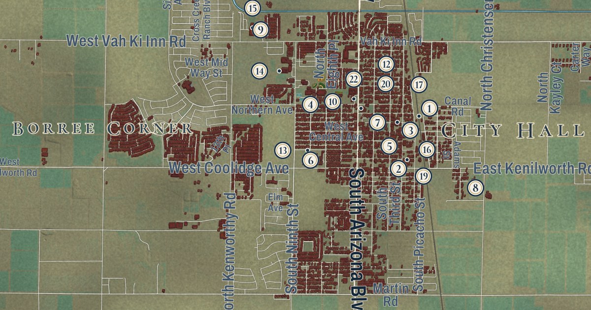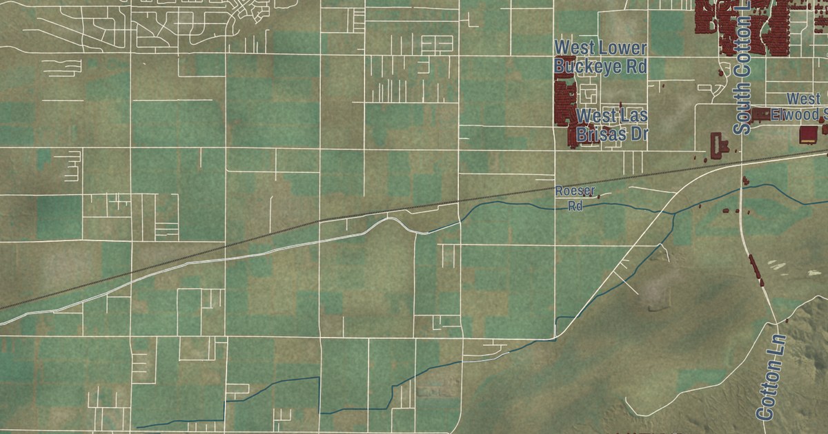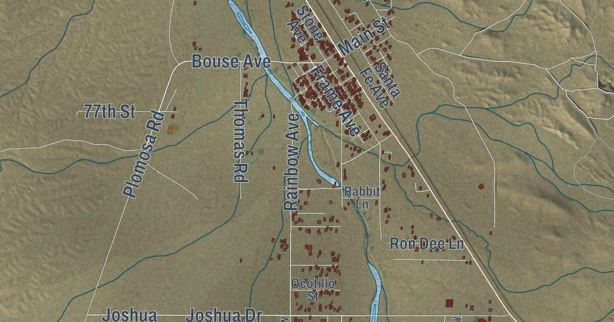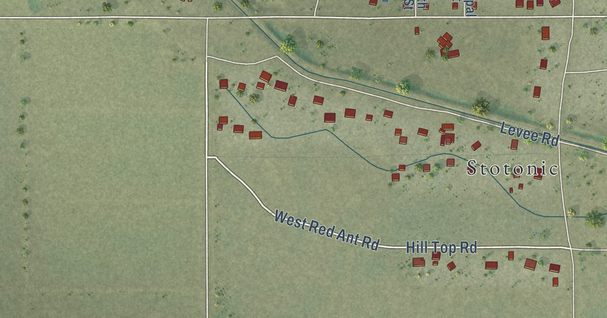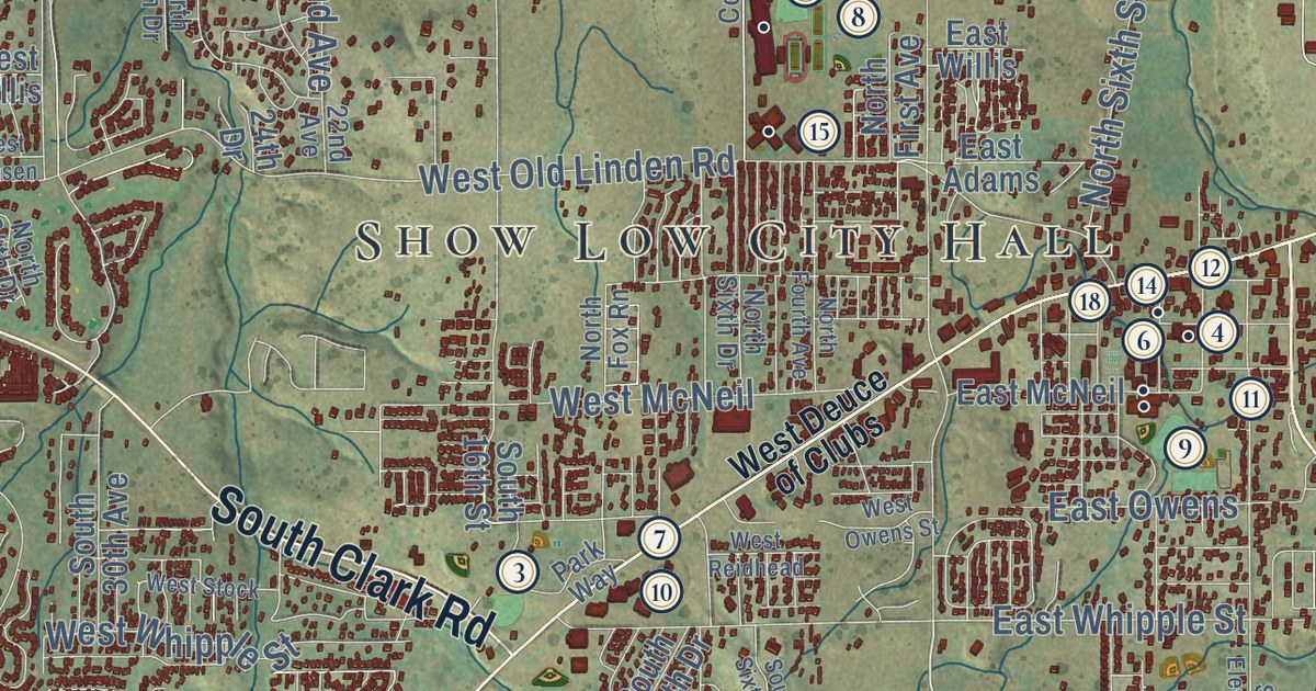
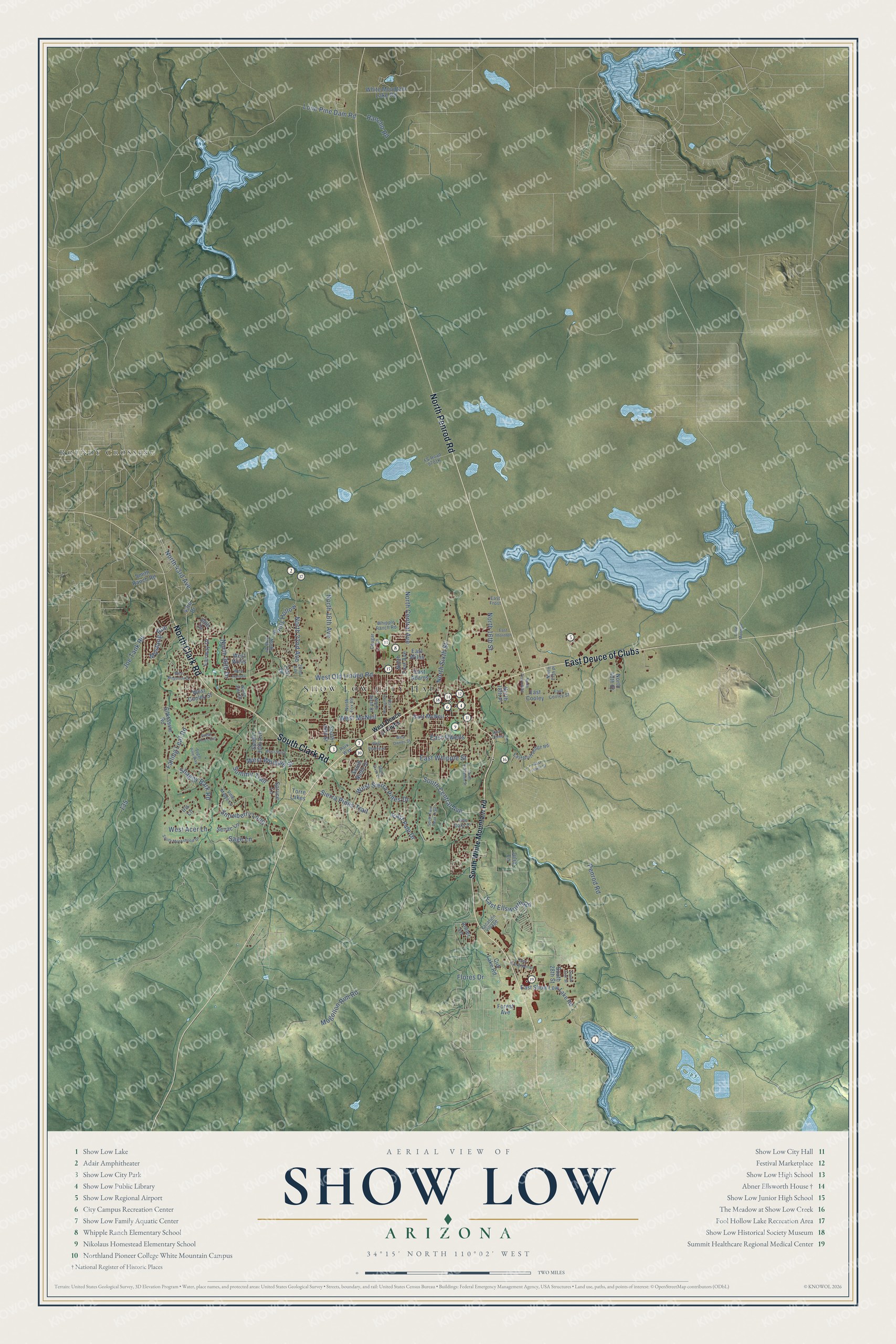
This beautifully detailed map of Show Low, Arizona was created in 2026 using aerial imagery combined with modern topographical, census, street and landmark data. It’s a one-of-a-kind view of Show Low that combines accurate data with a vintage aesthetic. The map shows every building in its true location, many of the roads carry their names, and the shaded topographic relief shows the shape of the land.
See the Show Low, Arizona map on a wall
The Show Low map as an 18 x 24 inch print in a black frame.

Explore an aerial view of Show Low, Arizona
On the map you’ll find Show Low City Hall, Roundy Crossing, East Deuce of Clubs, and Fools Hollow, along with North Penrod Road, North Clark Road, South Clark Road, South Central Avenue, West Old Linden Road, Penrod Road, Mogollon Rim Road, Falling Leaf Road, and more. If you look closely you can even find your house accurately drawn in its correct location. Zoom in on the preview to look for yours.
Did you know this about Show Low, Arizona?
By local legend, Show Low got its name from a long card game. Ranch partners Corydon E. Cooley and Marion Clark played Seven Up to decide who would keep the ranch. Cooley drew the deuce of clubs, the lowest card, and won. The main street is now called Deuce of Clubs.
Take a closer look at the Show Low map
Click to explore a larger preview. The digital watermark does not appear on printed maps.
Street and place names on the Show Low, Arizona map
These names are printed on the map of Show Low, Arizona.
Places: Show Low City Hall and Roundy Crossing.
Streets and roads: North Penrod Road, East Deuce of Clubs, North Clark Road, South Clark Road, South Central Avenue, West Old Linden Road, Penrod Road, Mogollon Rim Road, Fools Hollow, Falling Leaf Road, Summit Trail, North Central Avenue.
More street names, A to Z
22nd Avenue, 24th Drive, 39th Drive, 43rd Drive, Antler Lane, Cougar Lane, Cub Lake Road, East Adams, East Bluff Ridge Road, East Cooley, East Cooley Street, East Ellsworth Road, East Evergreen Lane, East Frost, East Lewis Street, East McNeil, East Oliver, East Owens, East Pine Drive, East Show Low Lake Road, East Thornton, East Whipple Street, East Willis, Fairway Drive, Flores Drive, Forest Avenue, Iris Lane, Joe Tank Road, Julia Lane, Little Morman, Lone Pine Dam Road, Mustang Run, North 16th Avenue, North 16th Street, North 18th Place, North 22nd Avenue, North 27th Drive, North 27th Place, North 34th Drive, North 36th Drive, North 40th Street, North 43rd Avenue, North First Avenue, North Fourth Avenue, North Fox Rn, North Sixth Drive, North Sixth Street, Park Way, Pine Oaks Drive, Rancho Road, Sage Lane, Senac Lane, Shaggy Bark Road, Sierra Pines Trail, Silktassle Road, Smith Ranch Road, Snowberry Loop, South 16th Street, South 28th Street, South 30th Avenue, South 31st Street, South Eleventh Street, South Monkshood Drive, South Ninth Drive, South Sixth Drive, South Twin Peak Trail, South White Mountain Road, Spruce Lane, Sugar Pine Loop, Sugar Pine Way, Torre Lakes, Vacation Village, Vine Maple Lane, West Acer Lane, West Cooley Street, West Deuce of Clubs, West Hansen, West McNeil, West Mogollon Drive, West Owens Street, West Reidhead, West Sierra Pines Drive, West Stock, West Whipple Street, West Willis, Whipple Ranch Road, White Mountain Lake Road.
This beautifully detailed map of Show Low makes an attractive addition to your office, library, or den, and it can even be used to teach children the geography and history of the area. It also makes a great gift for anyone who grew up in Show Low or moved away. When you’re done exploring, click here to get your copy of the Show Low map.