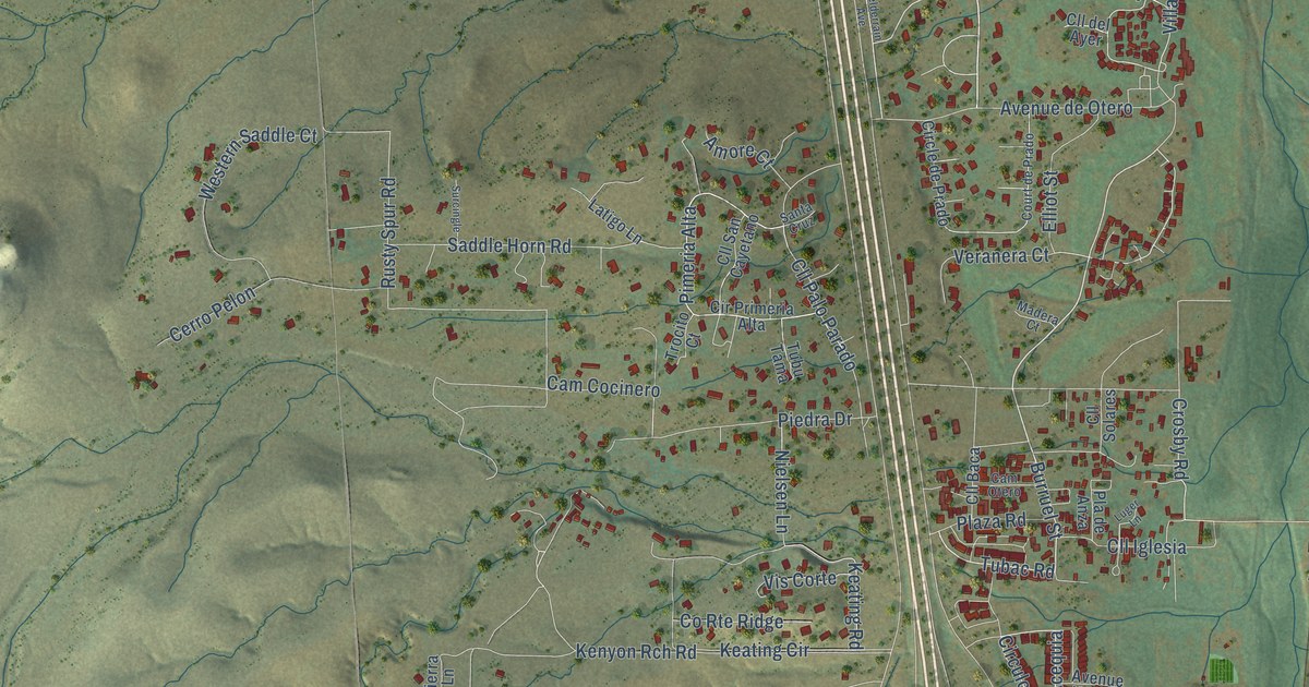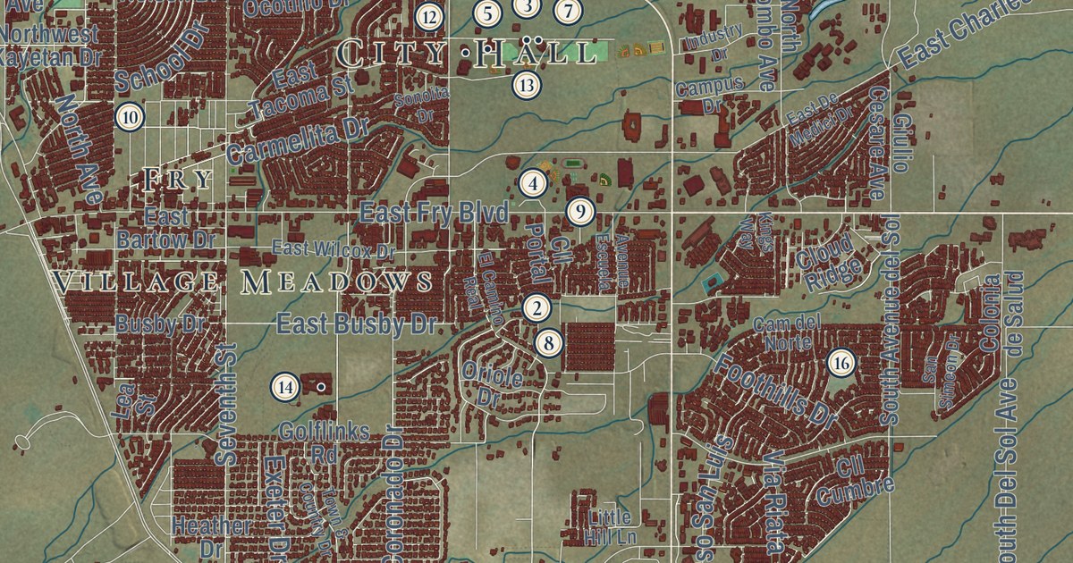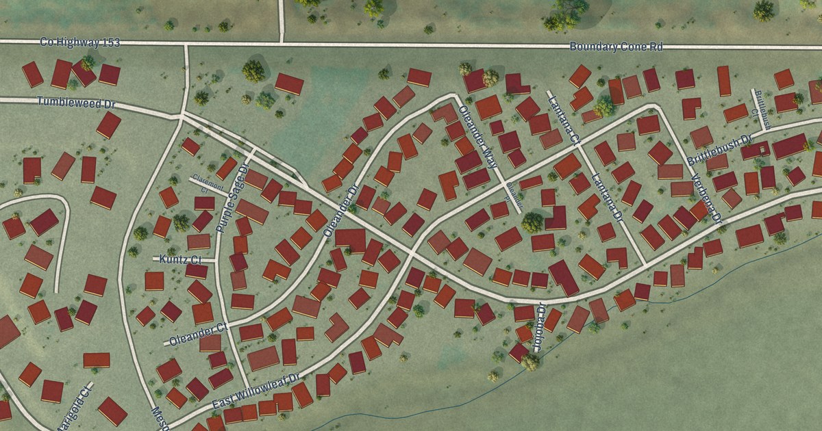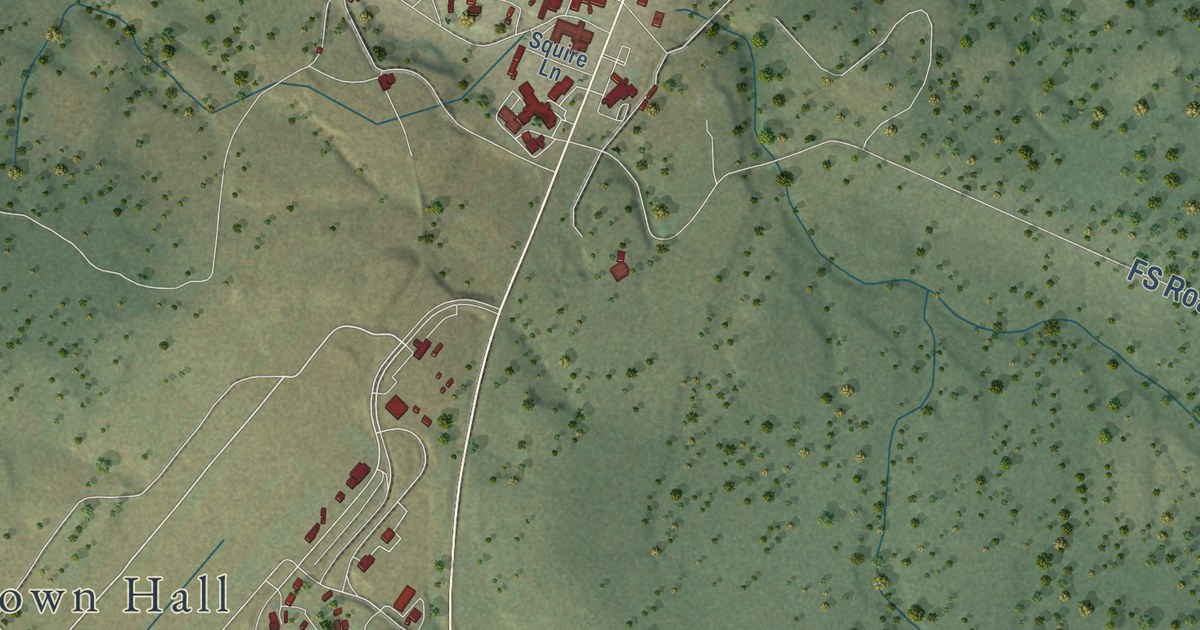
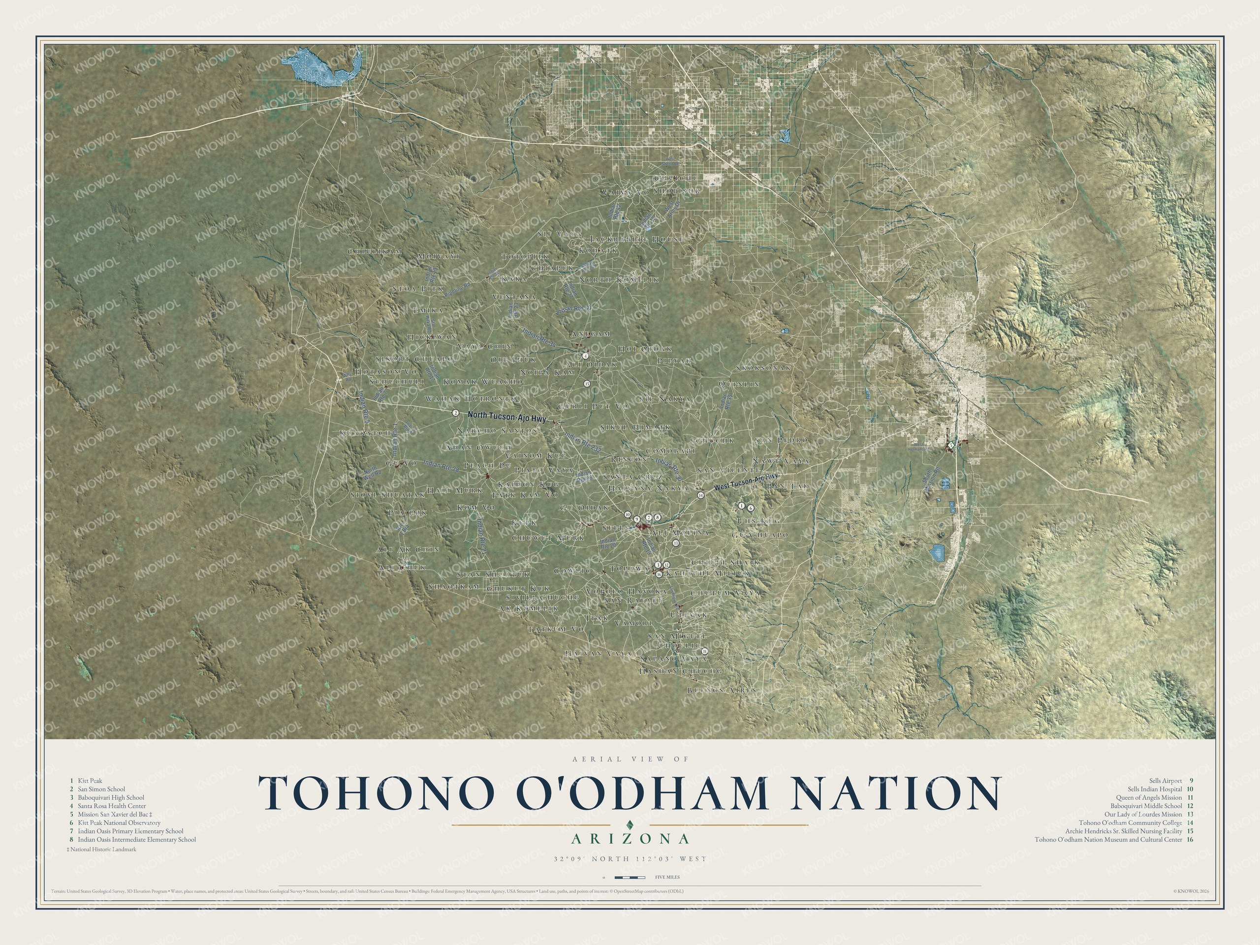
This beautifully detailed map of Tohono O’odham Nation, Arizona was created in 2026 using aerial imagery combined with modern topographical, census, street and landmark data. It’s a one-of-a-kind view of Tohono O’odham Nation that combines accurate data with a vintage aesthetic. The map shows every building in its true location, many of the roads carry their names, and the shaded topographic relief shows the shape of the land.
See the Tohono O’odham Nation, Arizona map on a wall
The Tohono O'odham Nation map as an 18 x 24 inch print in a black frame.

Explore an aerial view of Tohono O’odham Nation, Arizona
On the map you’ll find Mission San Xavier del Bac, Queen of Angels Mission, Baboquivari Middle School, Indian Oasis Primary Elementary School, Tohono O’odham Community College, Kitt Peak National Observatory, and more. If you look closely you can even find your house accurately drawn in its correct location. Zoom in on the preview to look for yours.
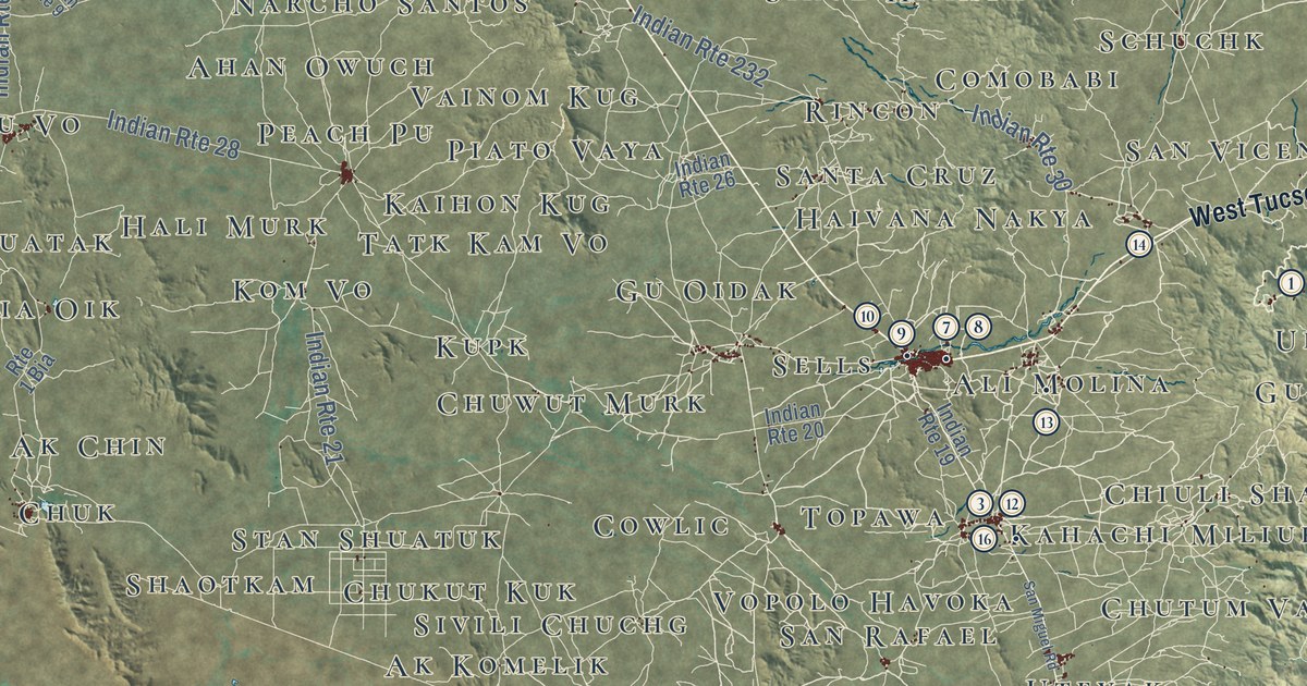
Take a closer look at the Tohono O’odham Nation map
Click to explore a larger preview. The digital watermark does not appear on printed maps.
Street and place names on the Tohono O’odham Nation, Arizona map
These names are printed on the map of Tohono O’odham Nation, Arizona.
Places: Rincon, Chuichu, Ali Chuk, Sapano Vaya, Totopitk, Schuchuli, Skoksonak, Emika, Nawt Vaya, Kupk, Jackrabbit House, Kahachi Miliuk, Ali Oidak, Tatkum Vo, Wahak Hotrontk, Moivayi, Pia Oik, Pipyak, Kaihon Kug, North Komelik, Vopolo Havoka, Haivan Vaya, Gu Vo, Gu Chuapo, San Vicente, Peach Pu, Chukut Kuk, Vaiva Vo, Sikort Chuapo, Oit Ihuk, Narcho Santos, Gurli Put Vo, Stan Shuatuk, Ventana, Sil Nakya, Sells, Gu Oidak, Sif Vaya, Quinlin, Utevak, Anegam, Buenos Aires, Schuchk, Topawa, Chutum Vaya, Shaotkam, Hickiwan, Kom Vo, Komak Wuacho, Comobabi, Hoi Oidak, San Miguel, Ali Molina, Chiuli Shaik, Hali Murk, Kuakatch, San Pedro, Sivili Chuchg, Ali Ak Chin, Itak, Hotason Vo, Choulic, Sikul Himatk, Kohatk, Pan Tak, Hashan Chuchg, Stoa Pitk, Vainom Kug, Noipa Kam, Haivana Nakya, Santa Cruz, Ak Komelik, Uhs Kug, Cowlic, San Rafael, Vaya Chin, Tatk Kam Vo, Ahan Owuch, Kaka, Chiulikam, Piato Vaya, Chiapuk, Vamori, Siovi Shuatak, Shopishk and Chuwut Murk.
Streets and roads: North Tucson-Ajo Highway, Indian Route 30, Indian Route 34, Indian Route 21, Indian Route 28, Indian Route 1, Indian Route 5, Indian Route 232, Indian Route 40, West Tucson-Ajo Highway, Indian Route 23, Indian Route 19.
More street names, A to Z
Indian Route 7, Indian Route 9, Indian Route 13, Indian Route 15, Indian Route 17, Indian Route 20, Indian Route 26, Indian Route 27, Indian Route 35, Indian Route 42, Indian Route 242, Indian Route 342, North Well Road, Pipeline Road, Route 1 Bia, San Miguel Road, South Mission Road, Stor Pitka Road, West Aries Drive, West Hermans Road, West Shedd Road, Why Road.
This beautifully detailed map of Tohono O’odham Nation makes an attractive addition to your office, library, or den, and it can even be used to teach children the geography and history of the area. It also makes a great gift for someone who left Tohono O’odham Nation and still calls it home. When you’re done exploring, click here to get your copy of the Tohono O’odham Nation map.