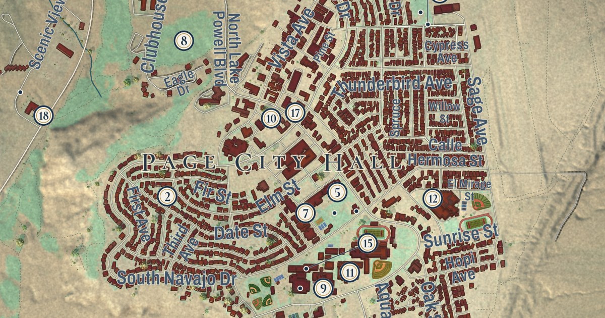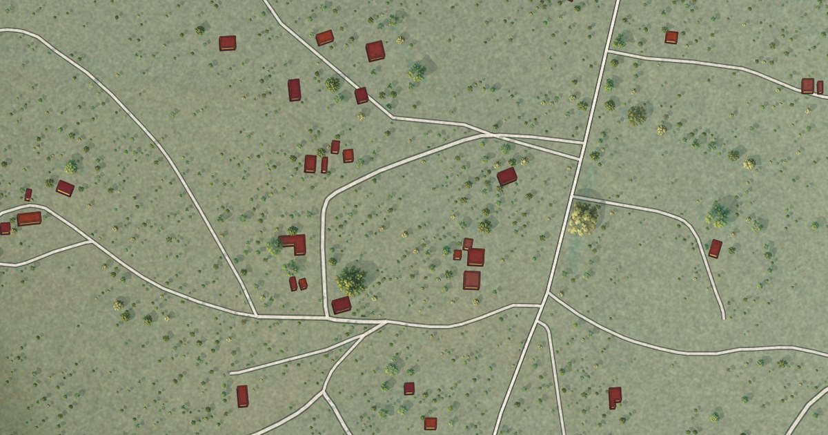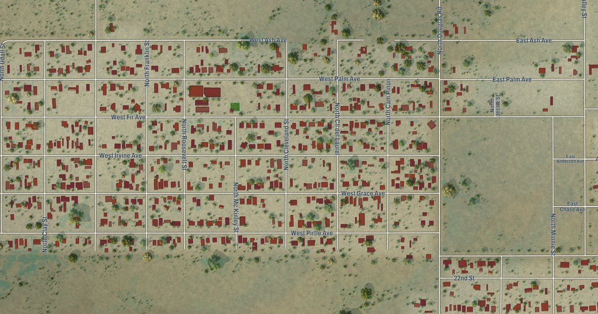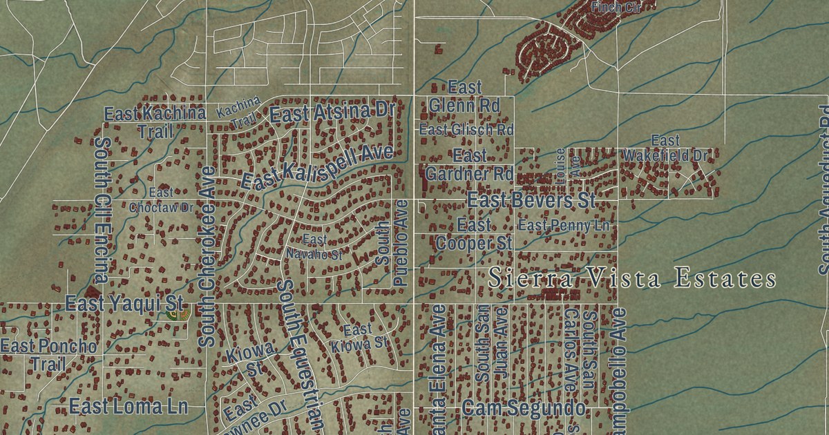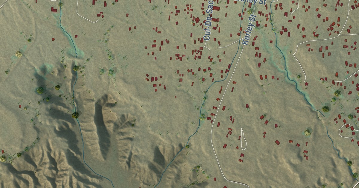
This beautifully detailed map of Tuba City, Arizona was created in 2026 using aerial imagery combined with modern topographical, census, street and landmark data. It’s a one-of-a-kind view of Tuba City that combines accurate data with a vintage aesthetic. The map shows every building in its true location, many of the roads carry their names, and the shaded topographic relief shows the shape of the land.
See the Tuba City, Arizona map on a wall
The Tuba City map as an 18 x 24 inch print in a black frame.

Explore an aerial view of Tuba City, Arizona
On the map you’ll find Tuba City Spr, along with Navajo Trail, Moenave Road, Tuba City – Gap Trail, Edgewater Drive, Monave Road, Sand Dune Drive, Arizona Boulevard, Main Street, Preston Way, Spruce Street, Old Airport Road, and more. If you look closely you can even find your house accurately drawn in its correct location. Zoom in on the preview to look for yours.
Did you know this piece of Tuba City, Arizona history?
Tuba City, on the Navajo Nation in Coconino County, Arizona, is named for Tuuvi. He was a Hopi man from Oraibi who became a Mormon around 1870. Tuuvi invited Mormon settlers to live near his village of Moenkopi. The settlers said they founded the town in 1872.
Take a closer look at the Tuba City map
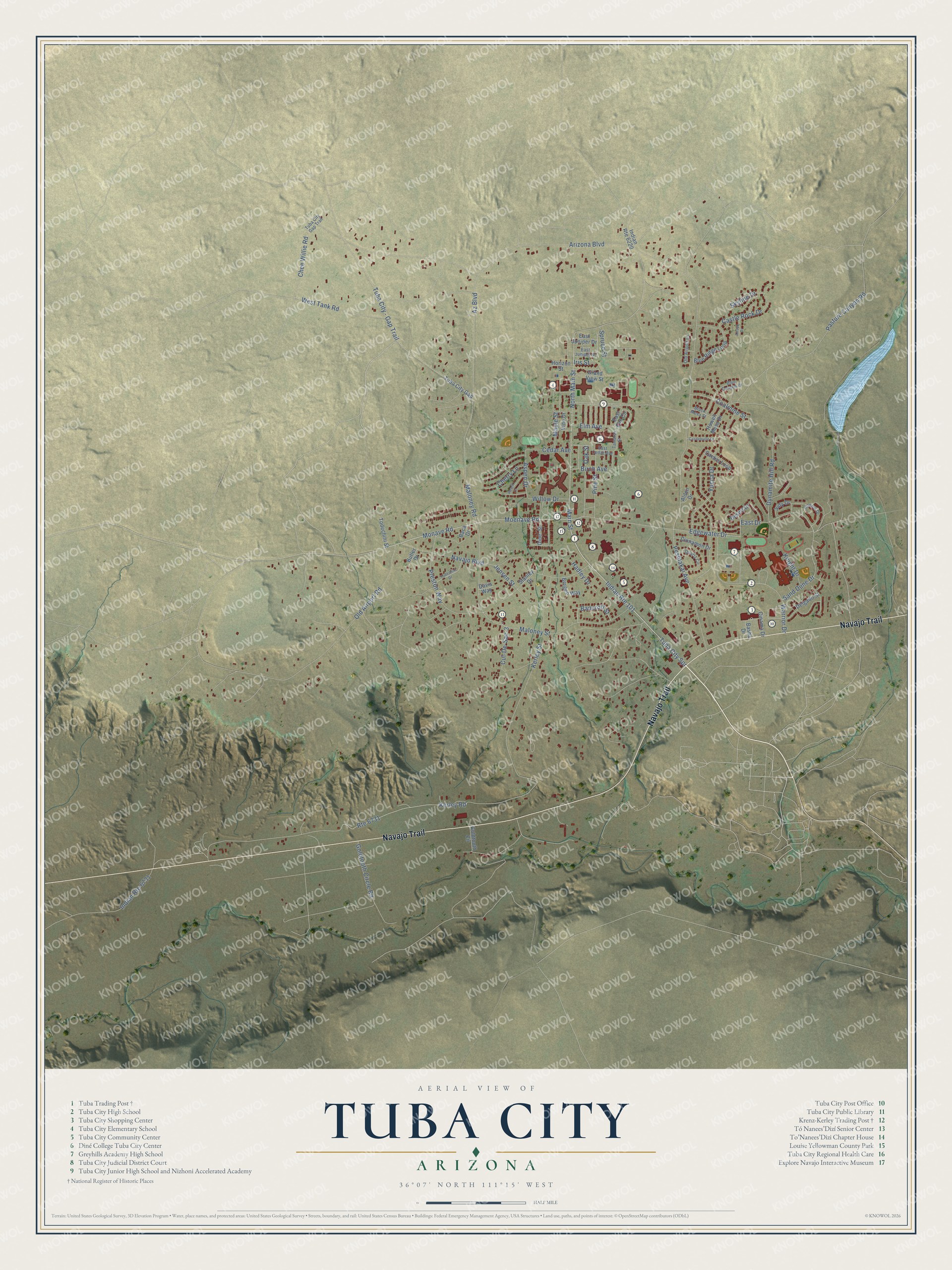
Click to explore a larger preview. The digital watermark does not appear on printed maps.
Street names on the Tuba City, Arizona map
These names are printed on the map of Tuba City, Arizona.
Streets and roads: Navajo Trail, Indian Route 101, Moenave Road, Tuba City Spr, Tuba City - Gap Trail, Edgewater Drive, Monave Road, Sand Dune Drive, Arizona Boulevard, Main Street, Preston Way, Spruce Street.
More street names, A to Z
Alden Drive, Arroyo Drive, Aspen Drive, Az Boulevard, Baca Drive, Bancroft Street, Basha Drive, Bergen Way, Birch Avenue, Black Mesa Street, Blue Canyon Drive, Blue Ridge Loop, Butler Drive, Cactus Loop, Castlebutte Drive, Castle Rock Drive, Cedar Avenue, Chee Willie Road, Cherry Lane, Cinama Drive, Cinnamon Drive, Coalmine Street, Cul-De-Sac-3, Davis Way, Delgado Street, Desert Drive, Dine' Street, Dynamite Hill Road, East Cedar Avenue, East Drive, East Elm Circle, East Juniper Drive, East Juniper Street, Elm Avenue, Goldtooth Circle, Goldtooth Circle Road, Grand View Street, Hadley Drive, Honovi Drive, Horizon Street, Howell Mesa Drive, Indian Route 6220, Indian Route 6731, Iris Street, Jensen Street, Judy Drive, Kerley Road, Kerley Street, Knight Drive, Maloney Road, Maloney Street, Maple Street, Navajo Boulevard, North Main Street, Oak Street, Old Airport Lane, Old Airport Road, Pasture Canyon Road, Peach Lane, Peshlakai Avenue, Pine Street, Quartz Circle, Route 6731, Skyline Drive, Stanley Drive, Tamarax Street, Todechini Drive, Todechini Street, Tuba City Gap, Tuba City Gap Trail, Vine Drive, Warrior Drive, West Tank Road, Willow Drive, Yucca Drive.
This beautifully detailed map of Tuba City makes an attractive addition to your office, library, or den, and it can even be used to teach children the geography and history of the area. It also makes a great gift for someone who left Tuba City and still calls it home. When you’re done exploring, click here to get your copy of the Tuba City map.