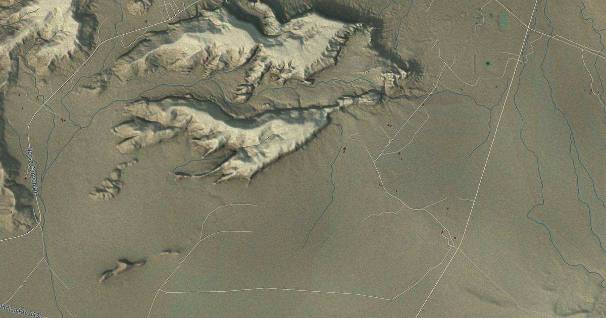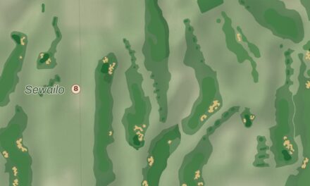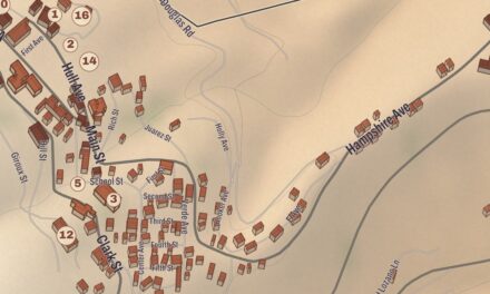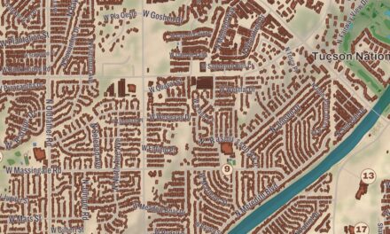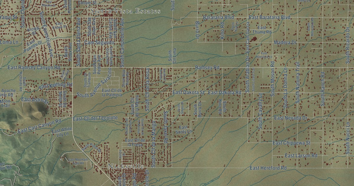
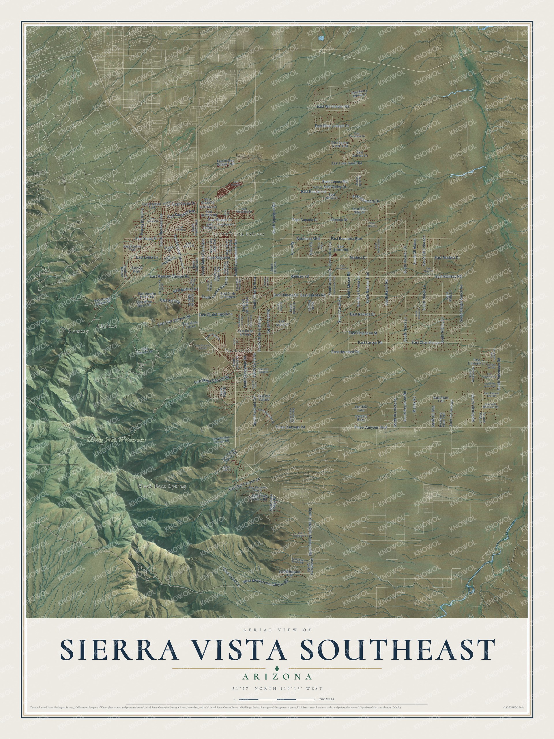
This beautifully detailed map of Sierra Vista Southeast, Arizona was created in 2026 using aerial imagery combined with modern topographical, census, street and landmark data. It’s a one-of-a-kind view of Sierra Vista Southeast that combines accurate data with a vintage aesthetic. The map shows every building in its true location, many of the roads carry their names, and the shaded topographic relief shows the shape of the land.
Explore an aerial view of Sierra Vista Southeast, Arizona
On the map you’ll find Miller Peak Wilderness, Sierra Vista Estates, Nicksville, Ramsey, Black Bear Spring, and Bledsoe, along with South Cherokee Avenue, South Coronado Memorial Road, East Hereford Road, South Moson Road, East Ramsey Road, Ramsey Road, and more. Sierra Vista Southeast sits about 6 miles northwest of Miracle Valley, 8 miles northwest of Palominas and 14 miles southeast of Huachuca City. If you look closely you can even find your house accurately drawn in its correct location. Zoom in on the preview to look for yours.
Take a closer look at the Sierra Vista Southeast map
Names on this map
These names are printed on this map.
Places: Miller Peak Wilderness, Sierra Vista Estates, Nicksville, Ramsey, Black Bear Spring and Bledsoe.
Streets and roads: South Cherokee Avenue, South Coronado Memorial Road, East Hereford Road, South Moson Road, East Ramsey Road, Ramsey Road, Three Canyons Boulevard, Three Canyons Road, East Miller Canyon Road, East Dakota Road, East Barataria Boulevard, East Nevada Drive.
More street names, A to Z
Barataria Boulevard, Burro Drive, Cam Segundo, Canada Drive, Carr Canyon Road, Circle South Drive, Coyote Song Lane, East Adam Trail, East Alexis Lane, East Alhambra Drive, East Apache Pointe Road, East Ash Canyon Road, East Astro Street, East Atsina Drive, East Avenue Jicarilla, East Bevers Street, East Blue Sky Vis, East Brown Canyon Road, East Buffalo Soldier Trail, East Cam Garcia, East Canada Drive, East Carr Canyon Road, East Chandler Lane, East Chief Joseph Drive, East Chippewa Street, East Choctaw Drive, East Cll Coro, East Cll Coyote, East Cll de la Fresa, East Cll de la Palmera, East Cll del Tecolote, East Cloudcroft Drive, East Connor Road, East Cooper Street, East Dakota Street, East Desperado Drive, East Finch Circle, East Forest Lane, East Garden Creek Trail, East Gardner Road, East Glenn Road, East Glisch Road, East Hansford Lane, East Hunter Canyon Road, East Kachina Trail, East Kalispell Avenue, East Keeling Road, East Kendall Lane, East Kiowa Street, East Larson Road, East Limousin Lane, East Loma Lane, East Lower Ranch Road, East Madera Drive, East Magic Drive, East Mesa Drive, East Moon Rise Trail, East Mountain View Drive, East Mountain Vista Road, East Navaho Street, East Palo Alto Road, East Pawnee Drive, East Penny Lane, East Poncho Trail, East Prince Placer Road, East Pso Venado, East Ramsey Canyon Road, East Renegade Trail, East Rio Bravo, East Rio Lobo, East Sierra Bonita Lane, East Sooty Lane, East Stump Canyon Road, East Sunrise Lane, East Thompson Lane, East Thuma Road, East Valley Drive, East Vista Bonita Road, East Vista Montanas Road, East Wakefield Drive, East White Horse Trail, East White Lily Lane, East Winchester Road, East Yaqui Street, Green Oak Lane, Huachuca Vista Trail, Janice Drive, Kachina Trail, Kino Road, Kiowa Street, Louise Avenue, Madera Drive, Mellak Road, Montazuma Cyn Road, South Airstrip Road, South Alvarado Place, South Aqueduct Road, South Arabian Drive, South Avenue Saracino, South Burro Drive, South Campobello Avenue, South Cavalry Lane, South Circle Drive, South Cll Alamo, South Cll de la Cereza, South Cll de la Mango, South Cll de la Menta, South Cll de la Naranja, South Cll de la Rosa, South Cll Eldorado, South Cll Encina, South Cll Lima, South Cll Metate, South Cll Mia, South Cll Molinar, South Cll Sedillos, South Cll Tranquila, South De Mello Street, South Equestrian Avenue, South Fairfield Circle, South Hargis Ranch Road, South High Street, South Janice Drive, South Jaxel Road, South Kelly Lane, South Keystone Road, South Kino Road, South La Donna Lane, South Lizard Trail, South Longhorn Road, South Mescalero Road, South Mir Way, South Natoma Trail, South Neal Lane, South Nucci Lane, South Palisades Drive, South Palominas Road, South Pinon Drive, South Pintek Lane, South Pueblo Avenue, South Ranch Road, South Ricardo Drive, South Richards Road, South Ridling Drive, South Rio Santiago, South San Carlos Avenue, South San Juan Avenue, South San Pedro Avenue, South Santa Claus Avenue, South Santa Elena Avenue, South Silver Concho Way, South Simba Drive, South Sioux Avenue, South Stone Ridge Road, South Sunnyvale Road, South Via Victoria, South Wild Rose Road, South Windsock Road, Valley Drive, West Montezuma Canyon Road.
See it on a wall
The Sierra Vista Southeast map as a framed print. Swipe for more.


This beautifully detailed map of Sierra Vista Southeast makes an attractive addition to your office, library, or den, and it can even be used to teach children the geography and history of the area. It also makes a great gift for someone who left Sierra Vista Southeast and still calls it home. When you’re done exploring, click here to get your copy of the Sierra Vista Southeast map.