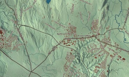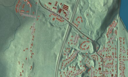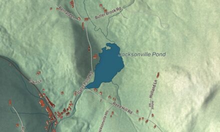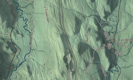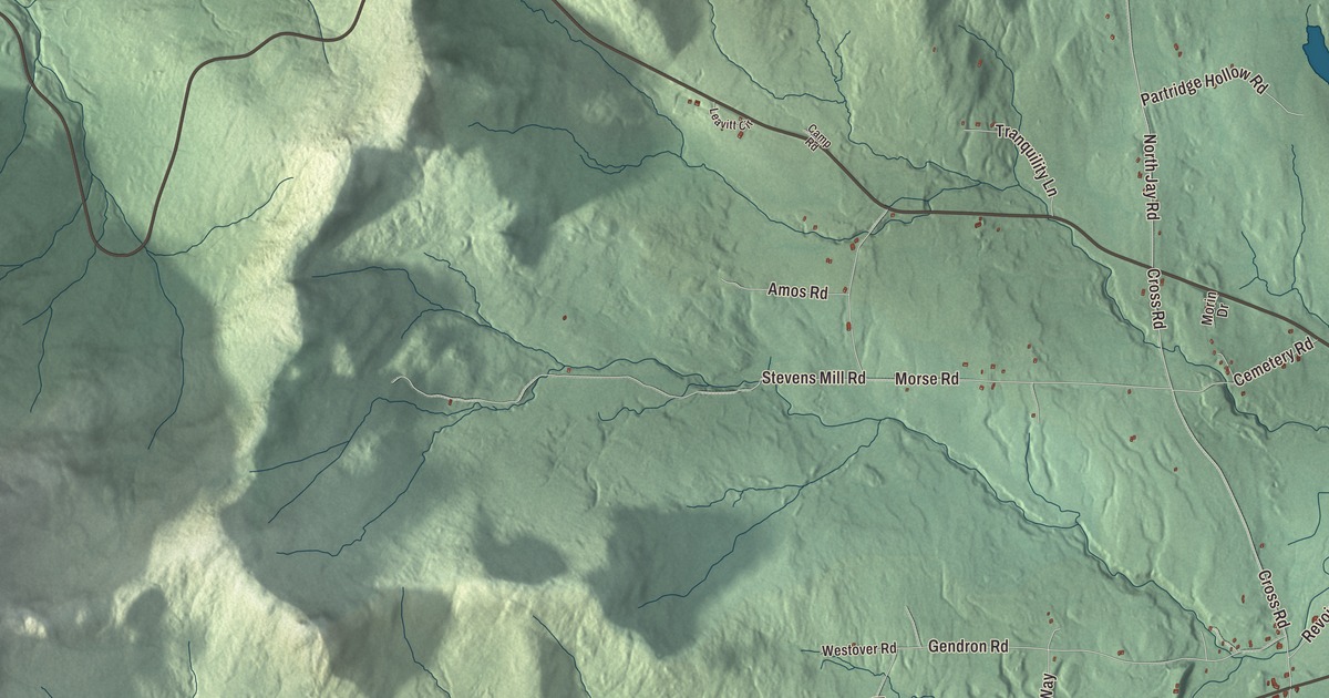
Jay sits on the Canadian border, one of the northernmost towns in Orleans County, and Jay Peak Resort sits on its southern edge. This map prints the roads people take across town: North Jay Road, East Richford Slide Road, Cross Road, Stevens Mill Road, Morse Road and Gendron Road.
Jay is a town in Orleans County, Vermont.
KNOWOL made this map in 2026 from public survey data and gave it the look of an old county atlas, shading the hills from United States Geological Survey elevation data and drawing the roads and town line from the Census Bureau. Jay covers 34.0 square miles, and its highest point is North Jay Peak, at 3,438 feet. Click here to purchase a print of this map for your wall.
Wyllis, Carthage and Jay
The town is named for John Jay, one of the Founding Fathers of the United States, but it took a while to get that name. The Vermont Legislature’s town list says Vermont granted the land on March 13, 1780, as Wyllis, though that charter was never issued. In 1783 it seems to have been called Carthage. Charters under the name Jay were finally issued on November 7 and December 28, 1792. Jay didn’t organize until May 29, 1828, and Madison Keith went to the legislature for the town that same year.
Jay Branch Brook runs through town on its way to the Missisquoi River. In 2020, 551 people lived in Jay. Earlier in the century the Census Bureau estimated the town grew 13.1% between 2000 and 2005, the seventh largest increase in the state. Jay also hosts the Jay Challenge, a three-part stage race usually held in July. De Lanson Alson Newton Chase, born in Jay in 1875, moved west and served as lieutenant governor of Kansas from 1925 to 1929.
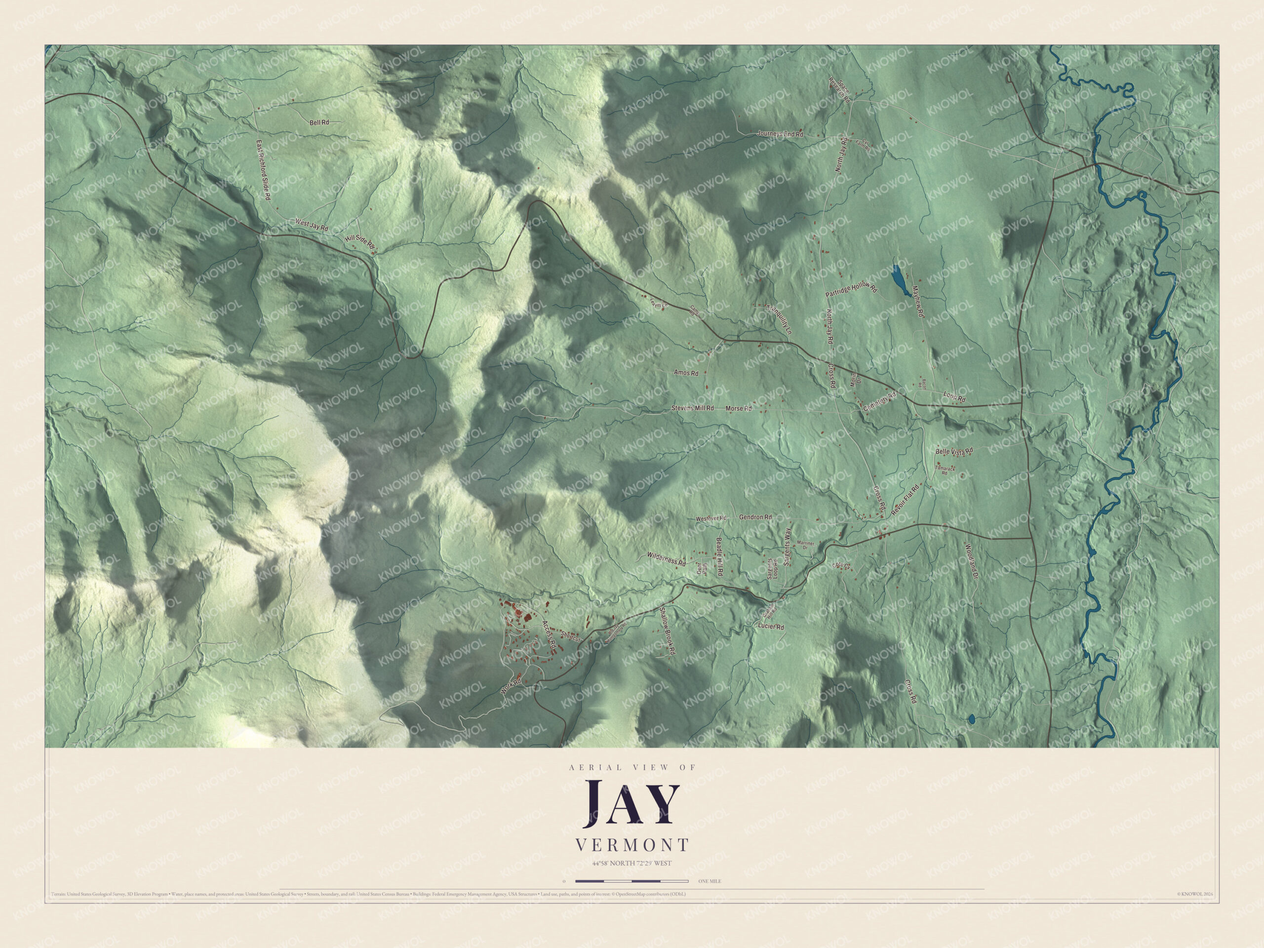
Click to explore a larger preview. The digital watermark does not appear on printed maps.
Names on this map
These names are printed on this map.
Streets and roads: North Jay Road, East Richford Slide Road, Cross Road, Stevens Mill Road, Morse Road, Gendron Road, Revoir Flat Road, Access Road, Journeys End Road, Mayhew Road, West Jay Road, Bell Road.
More street names, A to Z
Amos Road, Bacon Road, Beadle Hill Road, Belle Vista Road, Camp Road, Cemetery Road, Cote Cv, Cyr Farm Road, Deer Path, Graham Hill Road, Hill Side Road, Leavitt Circle, Loop Road, Lucier Road, Marriner Drive, Morin Drive, Old Jay Montgomery Road, Partridge Hollow Road, Sargents Loop Road, Sargents Way, Shallow Brook Road, Shortcut, Space Research Road, Tamarack Road, Tranquility Lane, Westover Road, Wilderness Road, Woodland Drive, Work Road.
See it on a wall
The Jay map as a framed print. Swipe for more.


The mountain
The peaks named for Jay mostly stand in Westfield next door, the town’s page says, and the summit of Jay Peak is there too. Jay Peak Resort’s own page puts the resort between Jay and Montgomery Center, mostly in the town of Jay, with the summit and part of the ski area in Westfield. Harold Haynes incorporated Jay Peak in 1955, the resort bought its first lift, a T-bar, that year, and it opened for skiing in January 1957. Walter Foeger, an Austrian racer who had trained the Spanish Olympic ski team, cut many of its early trails. The aerial tram was first installed in 1966, and the resort’s page says it’s the only one of its type in Vermont. The page also says Jay Peak gets the most snowfall of any ski area in the Northeastern U.S., and the resort’s record season, 2016 to 2017, brought 491 inches. The Long Trail runs through Jay State Forest, whose Big Jay tract takes in Jay Peak and the resort.
On the map, follow North Jay Road and Stevens Mill Road, then East Richford Slide Road, Cross Road, Morse Road and Gendron Road. Jay dates to 1780.
This map of Jay is made for everyone who calls Jay home, and it shows the town as it looks today, from North Jay Road to Gendron Road. Hang it in an office, library or den, or use it to teach children the geography and history of their town. It’s printed on museum quality archival paper. Zoom in on the preview above to explore the details, then click here to get your copy of the Jay, Vermont map.

Sources