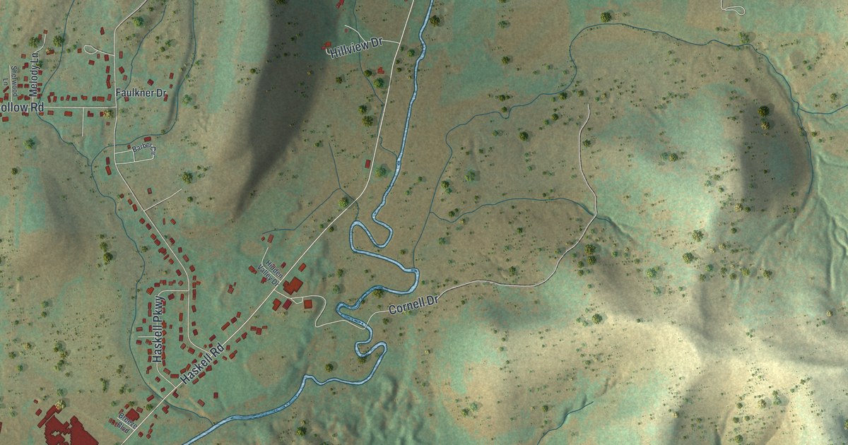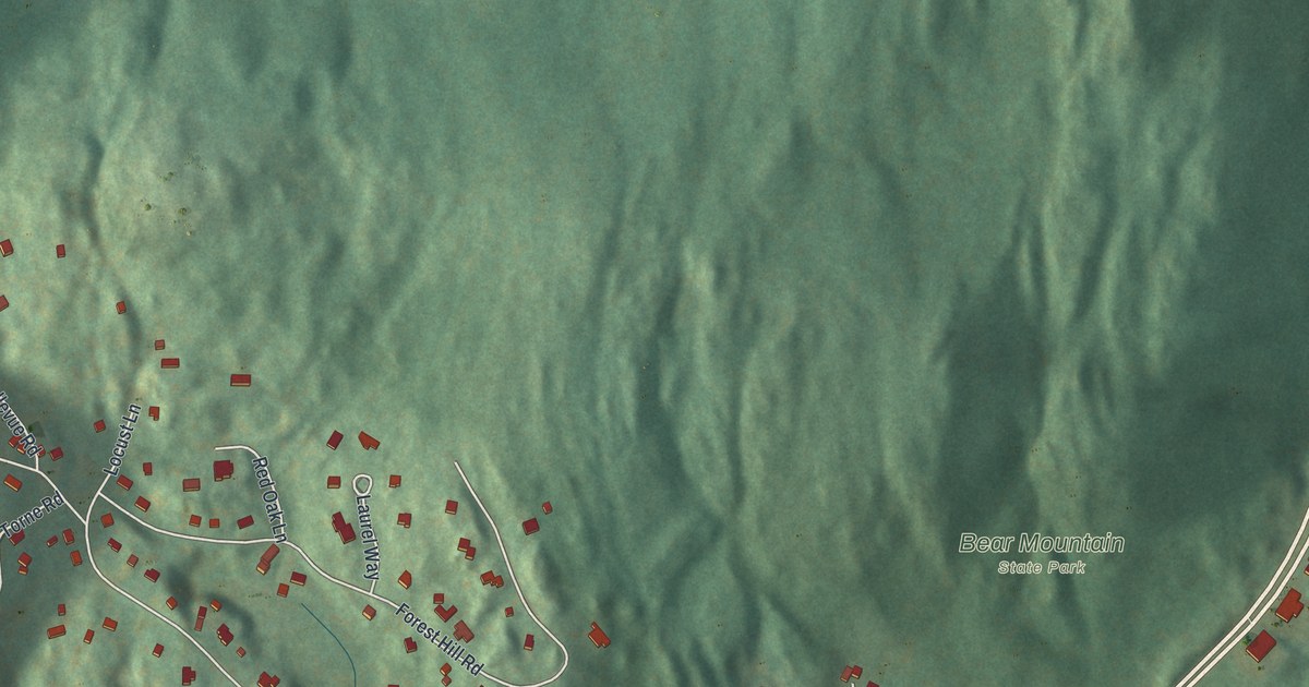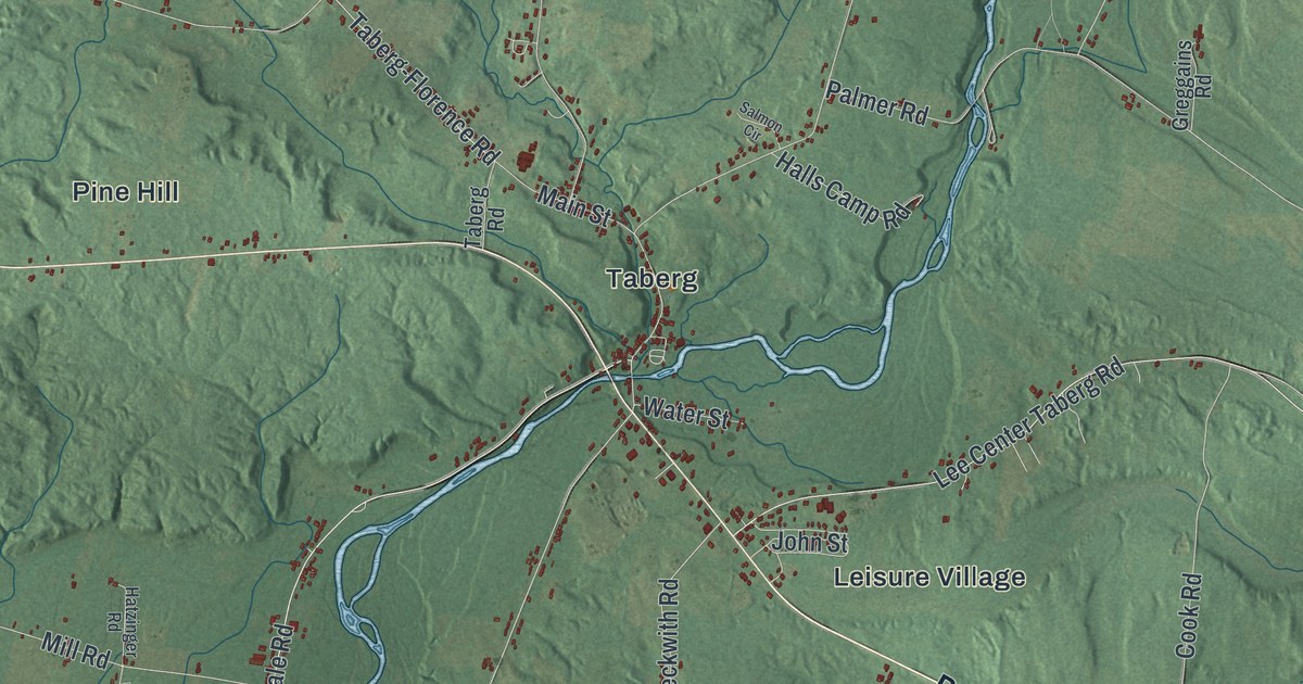
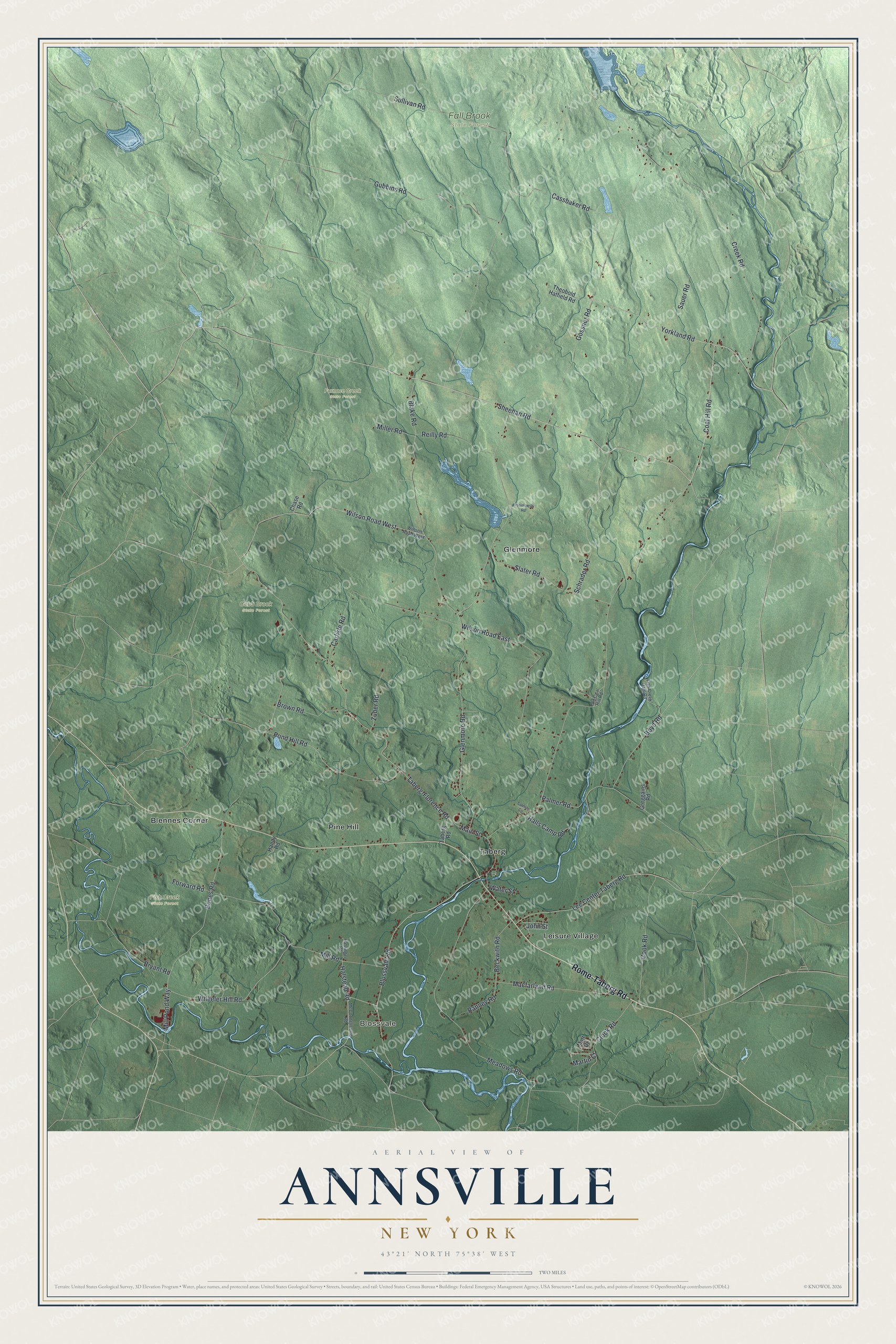
This beautifully detailed map of Annsville, New York was created in 2026 using aerial imagery combined with modern topographical, census, street and landmark data. It’s a one-of-a-kind view of Annsville that combines accurate data with a vintage aesthetic. The map shows every building in its true location, many of the roads carry their names, and the shaded topographic relief shows the shape of the land.
Explore an aerial view of Annsville, New York
On the map you’ll find Blossvale, Blennes Corner, Glenmore, Leisure Village, Pine Hill, Cobb Brook State Forest, Fall Brook State Forest, Fish Creek State Forest, and Furnace Creek State Forest, along with Rome-Taberg Road, Yorkland Road, Sheehan Road, Taberg-Florence Road, Wheeler Hill Road, and more. If you look closely you can even find your house accurately drawn in its correct location. Zoom in on the preview to look for yours.
Did You Know?
John W. Bloomfield came from Burlington, New Jersey, in April 1793 and settled at what is now Taberg. He built a sawmill and a gristmill there. When the town was formed in 1823, it was named for his wife, Ann Bloomfield.
Take a closer look at the Annsville map
Names on this map
These names are printed on this map.
Places: Blossvale, Cobb Brook State Forest, Fall Brook State Forest, Fish Creek State Forest, Furnace Creek State Forest, Blennes Corner, Glenmore, Leisure Village, Pine Hill and Taberg.
Streets and roads: Rome-Taberg Road, Yorkland Road, Sheehan Road, Taberg-Florence Road, Wheeler Hill Road, Bones Road, Ranney Road, Meadows Road, Coal Hill Road, Glenmore Road, Sullivan Road, Creek Road.
More street names, A to Z
Beckwith Road, Blake Road, Blossvale Road, Boyd Road, Brown Road, Bryant Road, Carlisle Road, Cassbaker Road, Chase Road, Clock Road, Cook Road, Fish Creek Dam Road, Forward Road, Gossner Road, Greggains Road, Gubbins Road, Halls Camp Road, Halstead Road, Handy Road, Hatzinger Road, John Street, Lee Center Taberg Road, Macfarland Road, Main Street, Martin Court, Matt Drive, McConnellsville Road, Miller Road, Mill Pond Way, Mill Road, Old Coal Hill Road, Palmer Road, Pond Hill Road, Prusinowski Road, Reilly Road, Salmon Circle, Sauer Road, Schrader Road, Slater Road, Taberg Road, Theobold Hatfield Road, Water Street, Willson Road West, Wilson Road East, Wilson Road West, Zuber Road.
See it on a wall
The Annsville map as a framed print. Swipe for more.


This beautifully detailed map of Annsville makes an attractive addition to your office, library, or den, and it can even be used to teach children the geography and history of the area. It also makes a great gift for someone who left Annsville and still calls it home. When you’re done exploring, click here to get your copy of the Annsville map.