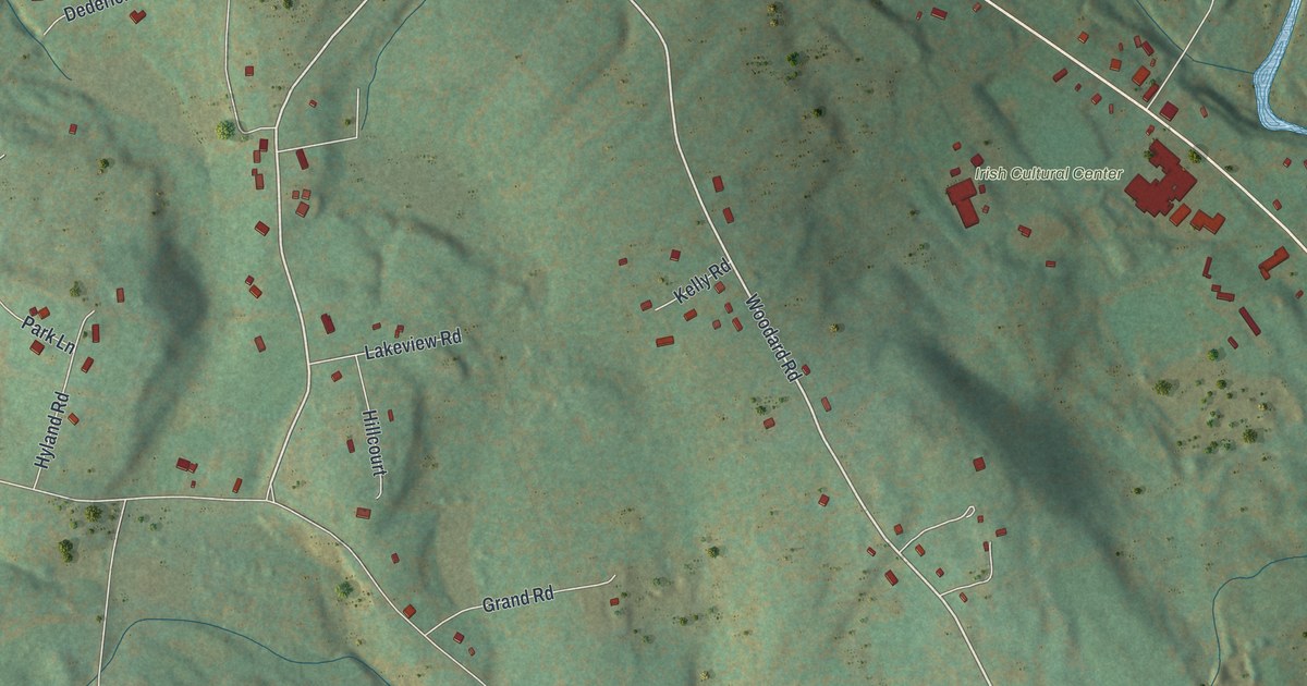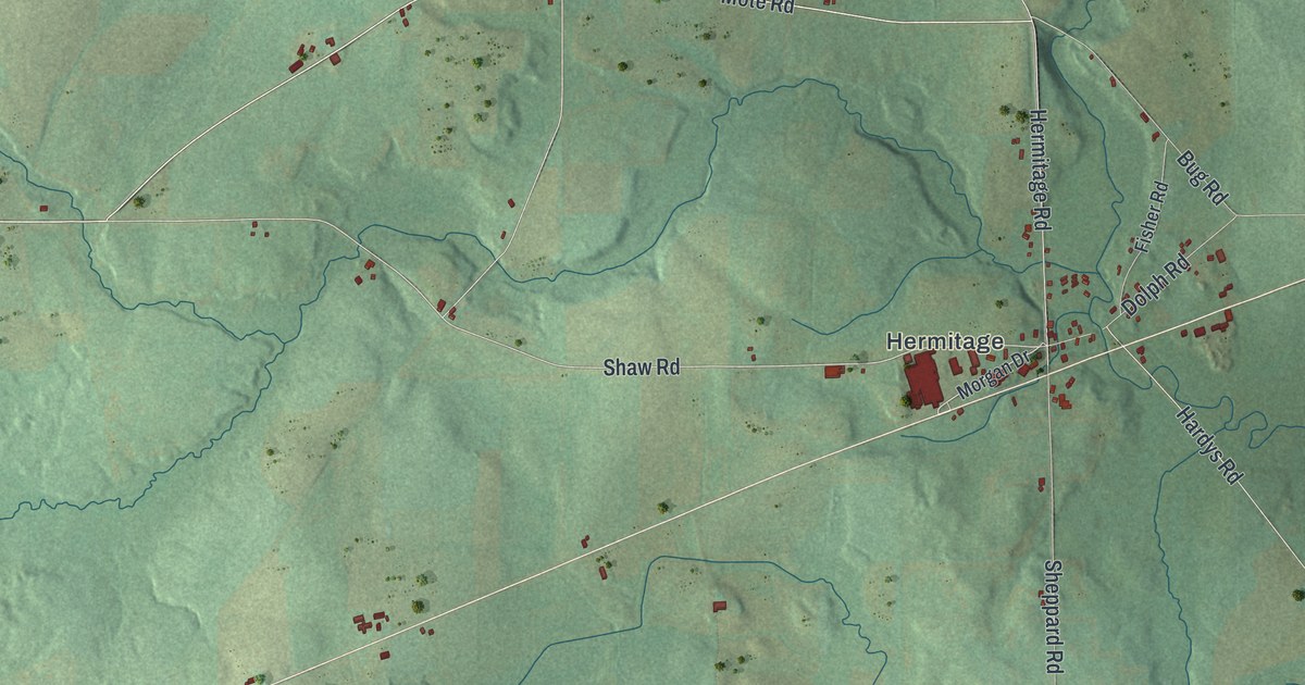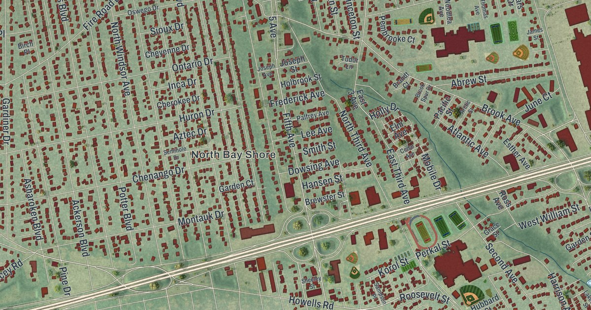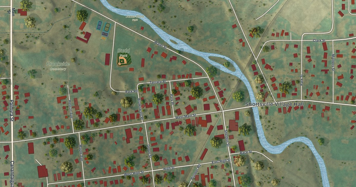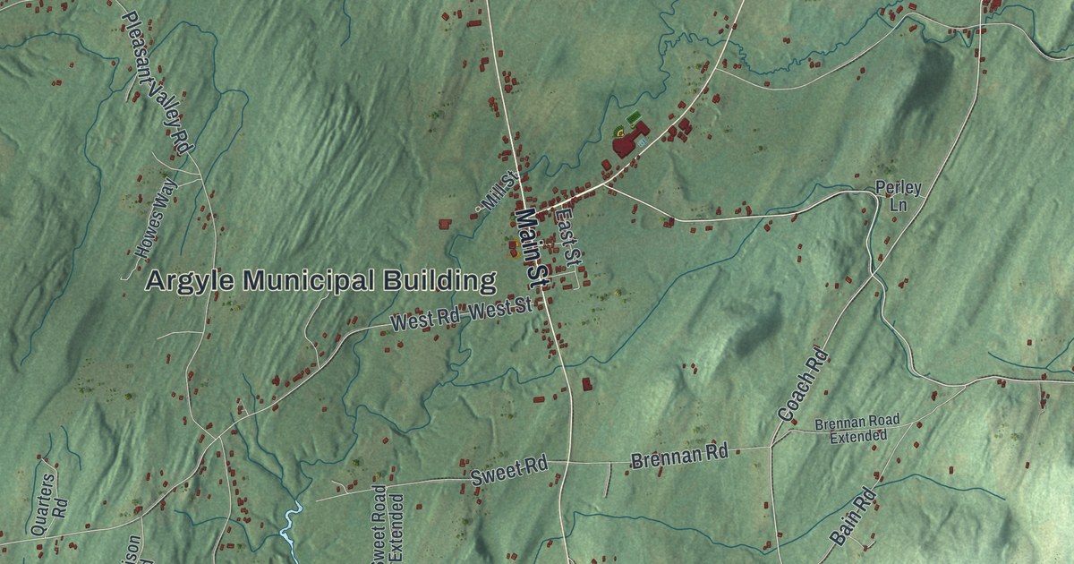
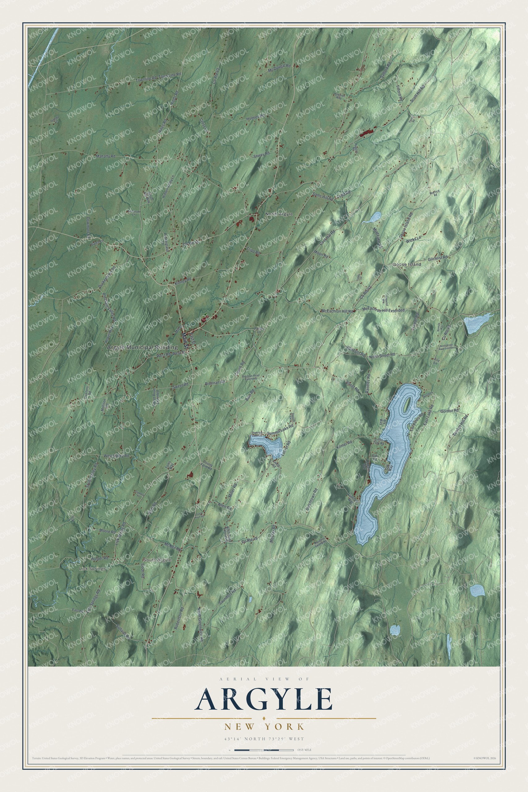
This beautifully detailed map of Argyle, New York was created in 2026 using aerial imagery combined with modern topographical, census, street and landmark data. It’s a one-of-a-kind view of Argyle that combines accurate data with a vintage aesthetic. The map shows every building in its true location, many of the roads carry their names, and the shaded topographic relief shows the shape of the land.
Explore an aerial view of Argyle, New York
On the map you’ll find Argyle Municipal Building, Lick Springs, South Argyle, Goose Island, and North Argyle, along with Main Street, Coach Road, Miller Road, Street Road, and more. If you look closely you can even find your house accurately drawn in its correct location. Zoom in on the preview to look for yours.
Did You Know?
Many of Argyle’s first settlers came from Argyll in Scotland, and they gave the town the name of their homeland. The town grew out of the Argyll Patent of 1764. Growth was slow at first, but by 1790 Argyle had more people than any other town in the county.
Take a closer look at the Argyle map
Names on this map
These names are printed on this map.
Places: Argyle Municipal Building, Lick Springs, South Argyle, Goose Island and North Argyle.
Streets and roads: Main Street, Coach Road, Miller Road, Street Road, McClay Road, Summit Lake Road, West Road, Townline Road, County Route 48, County Route 49, Kinney Road, Lick Spring Road.
More street names, A to Z
Allen Road, Allen Road Extended, Bain Road, Bly Way, Bonhote Way, Brennan Road, Brennan Road Extended, Bunker Hill Road, Butch Hill Way, Camp Road, Coach Road Spr, Coon Road, Coot Hill Road, County Farm Road, County Route 43, County Route 44, County Route 47, Cramer Road, Crawford Lane, Cross Lane, Donald Lane, Dowmont Road, Durkeetown Road, Dutchtown Road, East Lake Road, East Road, East Street, Eric Lane, Flintlock Way, Foster Road, Gates Lane, Gilchrist Road, Goose Island Road, Gordon Road, Harper Road, Hemlock, Hidden Valley Lane, Hinds Road, Hines Road, Holmes Road, Howards Way, Howes Way, Huggins Road, Hunter Road, Kilmer Road, Le Maire Way, Lick Springs Road, Liddle Lane, Little Troy Road, Lohret Road, Mahaffy Road, Mc Dougal Road, McEachron Hill Extended, McEachron Hill Road, McNeil Road, Mill Street, Mollison Road, Moon Road, Moore Road, Mosquito Swamp Road, Mud Lake Road, Nicholson Lane, North Greenwich Road, North Street Road, North Street Road Extended, Oak Road, Oak Way, Ormsby Lane, Pendergrass Lane, Perley Lane, Pinewood Way, Pleasant Valley Road, Quarters Road, Randalls Road, Randles Road, Robertson Road, Safford Road, Sams Hill Road, Saunders Road, Scott Hill Road, South Valley Road, Storey Road, Stott Road, Sullivan Road, Summitt Lake Spr, Sweet Road, Sweet Road Extended, Tall Pines Road, Tilford Road, Todd Road, Toms Way, Town Line Road, Tripp Road, Warnick Road, West Street, West Valley Road, Wicks Lane.
See it on a wall
The Argyle map as a framed print. Swipe for more.


This beautifully detailed map of Argyle makes an attractive addition to your office, library, or den, and it can even be used to teach children the geography and history of the area. It also makes a great gift for anyone who grew up in Argyle or moved away. When you’re done exploring, click here to get your copy of the Argyle map.