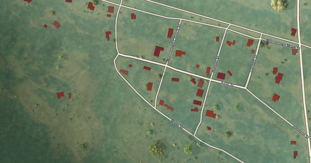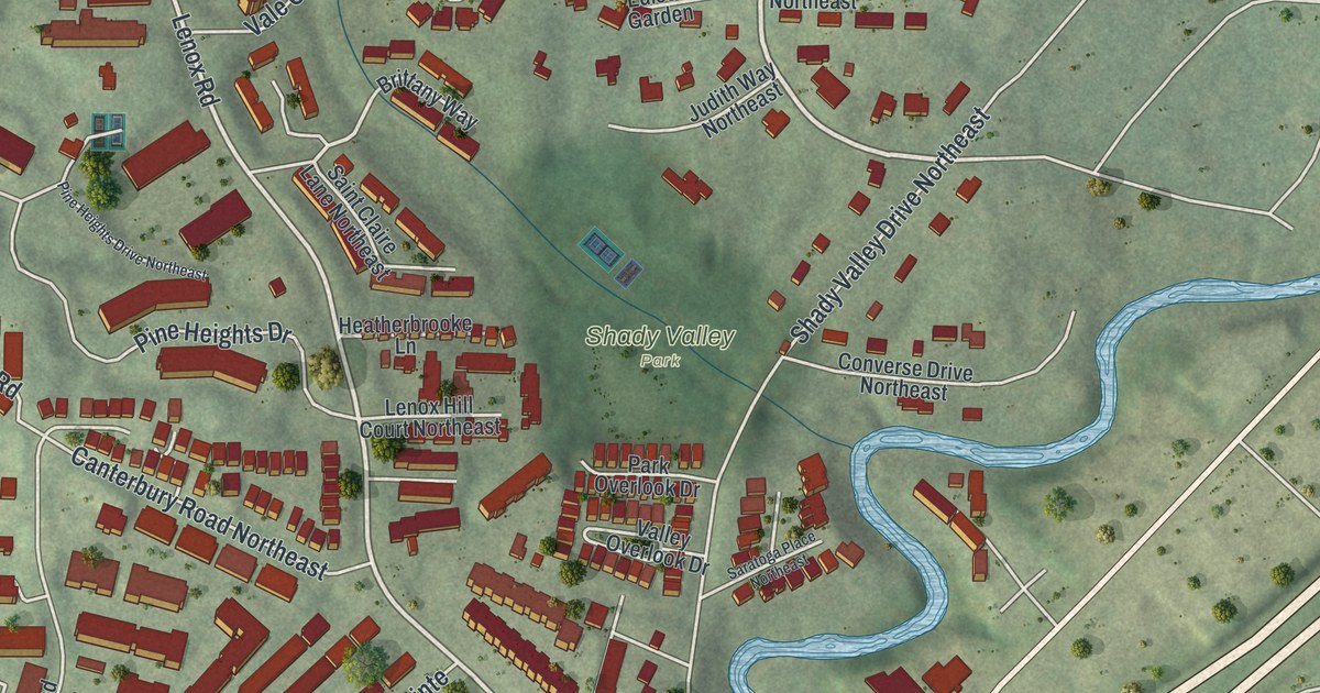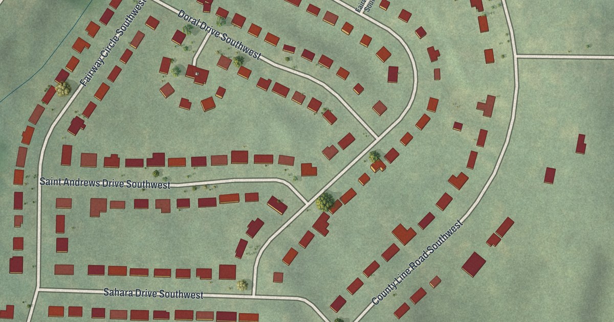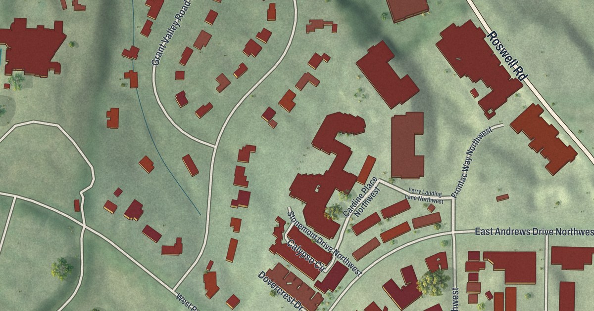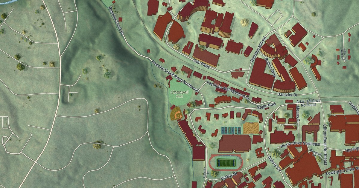
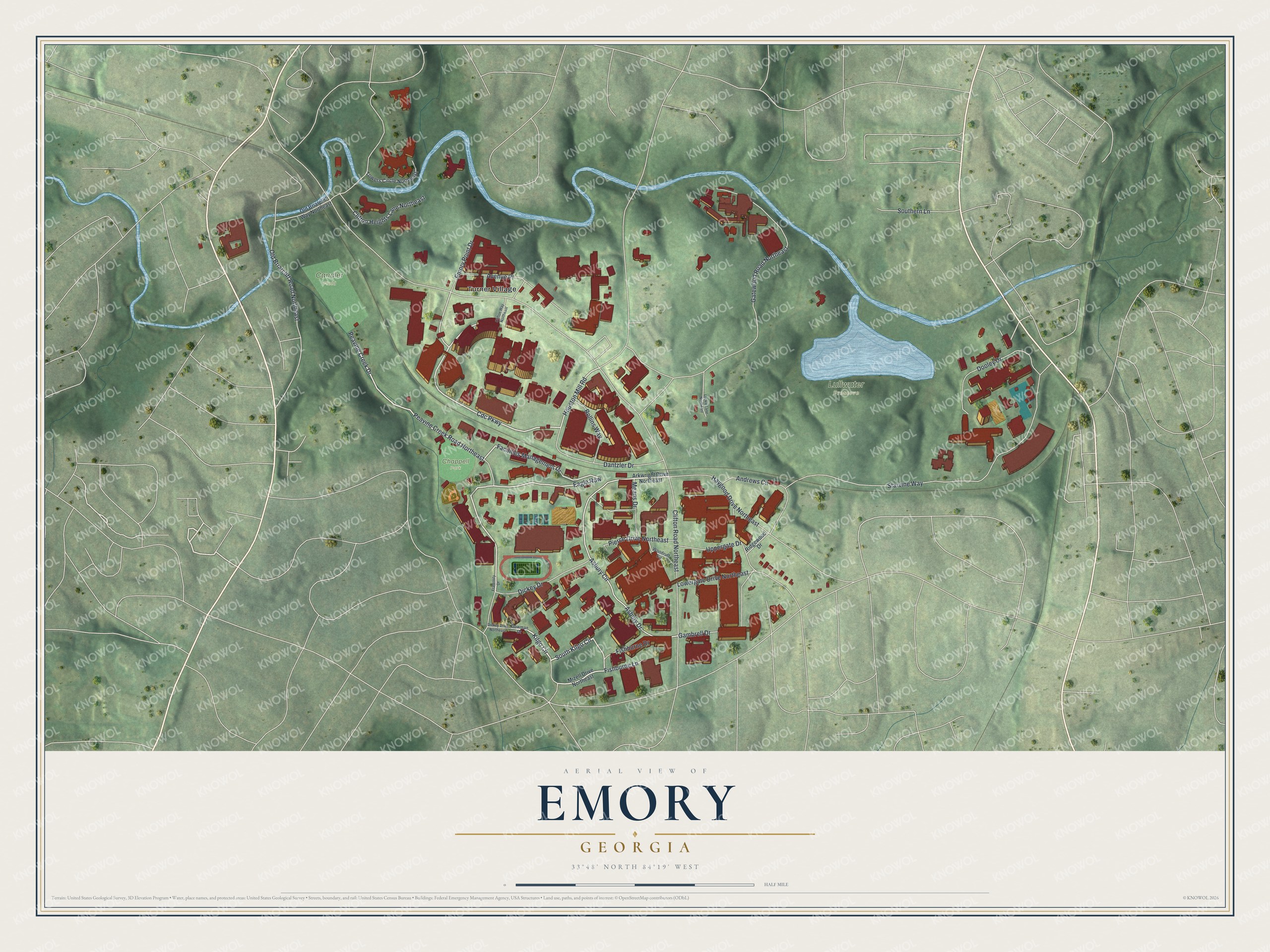
This beautifully detailed map of Emory, Georgia was created in 2026 using aerial imagery combined with modern topographical, census, street and landmark data. It’s a one-of-a-kind view of Emory that combines accurate data with a vintage aesthetic. The map shows every building in its true location, many of the roads carry their names, and the shaded topographic relief shows the shape of the land.
Explore an aerial view of Emory, Georgia
On the map you’ll find Eagle Row, Turner Village, Lullwater Preserve, and Chappell Park, along with Cdc Parkway, Kilgo Circle, Facilities Management Drive, Peavine Creek Road, and more. If you look closely you can even find your house accurately drawn in its correct location. Zoom in on the preview to look for yours.
Did You Know?
Emory took over the Atlanta Medical College after moving to Atlanta. The medical college had been founded in 1854. It became the School of Medicine of Emory University, with an endowment of 270,000 dollars. By then it had graduated 3,273 doctors of medicine in 67 years. That’s from the 1922 Atlanta Yesterday Today and Tomorrow.
Take a closer look at the Emory map
Names on this map
These names are printed on this map.
Places: Lullwater Preserve, Candler Field, Chappell Park and Turner Village.
Streets and roads: Cdc Parkway, Eagle Row, South Kilgo Circle, Facilities Management Drive, Peavine Creek Road Northeast, Houston Mill Road, Kilgo Circle, Asbury Circle, Starvine Way, Asbury Drive, Clifton Road Northeast, Gatewood Road Northeast.
More street names, A to Z
Andrews Circle, Arkwright Drive Northeast, Avenue Place, Clifton Heights Lane Northeast, Clifton Way Northeast, Dantzler Drive, Dickey Drive, Dickey Drive Northeast, Dooley Drive, Dowman Drive, Emory Point Drive, Fishburne Drive, Fishburne Lane, Fraternity Drive, Gambrell Drive, Haygood Drive Northeast, Lowergate Drive Northeast, Luckie Lane Northeast, Means Drive, Mizell Drive Northeast, Old Briarcliff Road Northeast, Old Briarcliff Way Northeast, Peavine Creek Drive, Pierce Drive Northeast, Ridgewood Drive, Rollins Way, Southern Lane, Towers Circle Northeast, Uppergate Drive, Woodruff Circle.
See it on a wall
The Emory map as a framed print. Swipe for more.


This beautifully detailed map of Emory makes an attractive addition to your office, library, or den, and it can even be used to teach children the geography and history of the area. It also makes a great gift for anyone with Emory roots. When you’re done exploring, click here to get your copy of the Emory map.