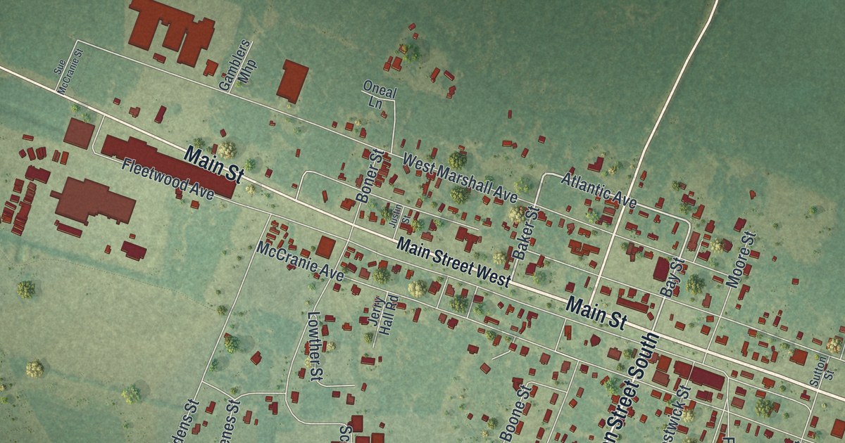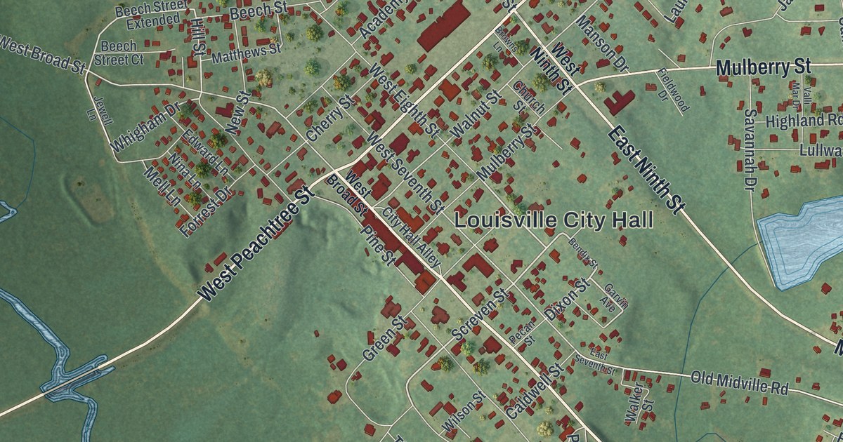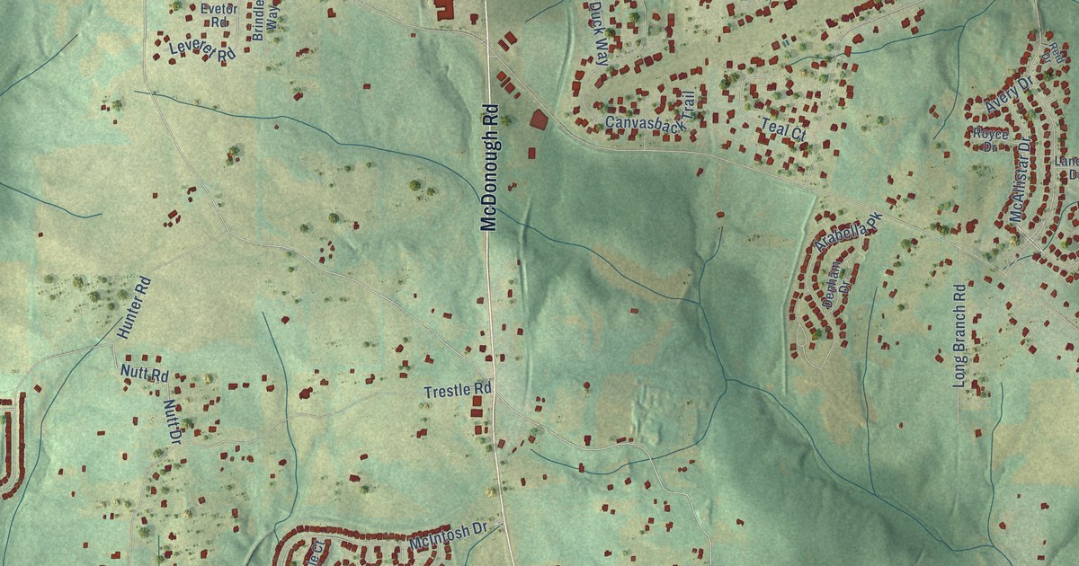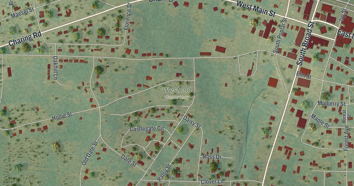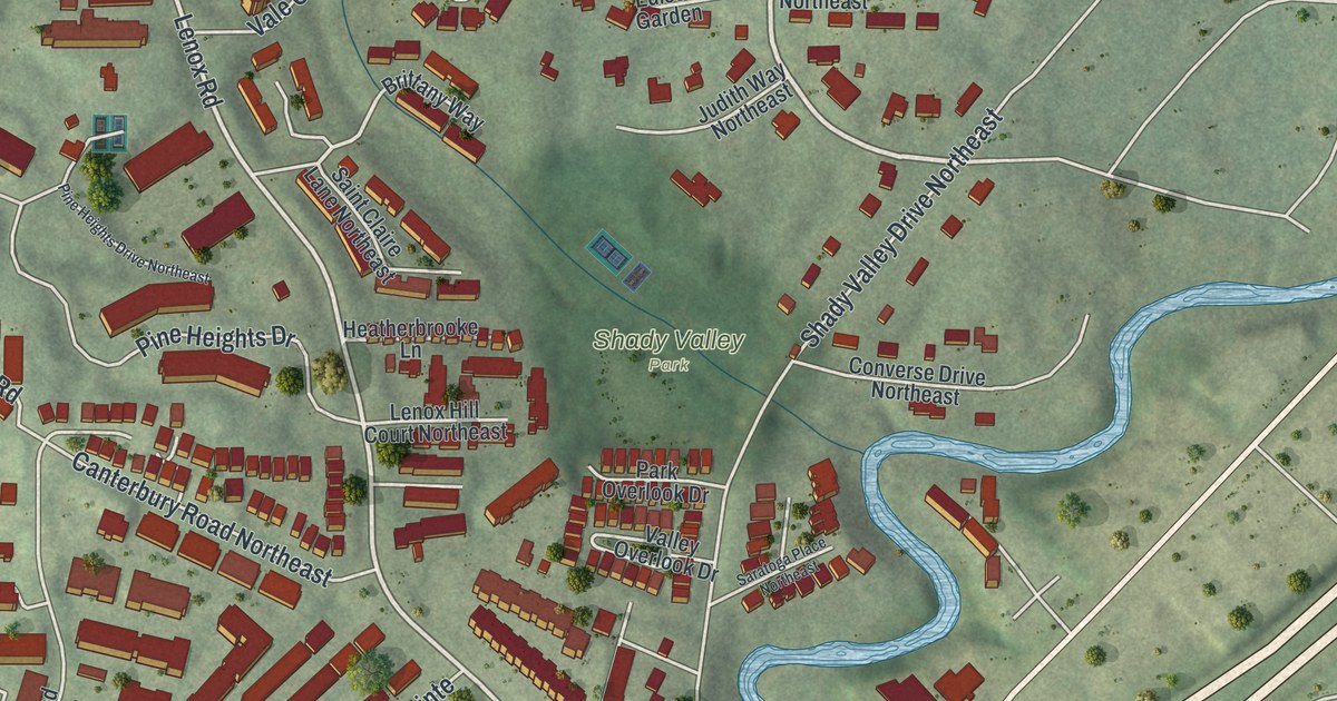
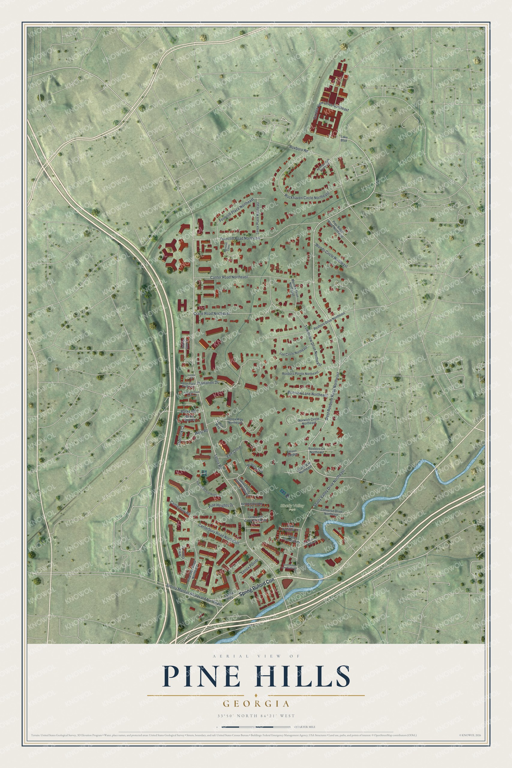
This beautifully detailed map of Pine Hills, Georgia was created in 2026 using aerial imagery combined with modern topographical, census, street and landmark data. It’s a one-of-a-kind view of Pine Hills that combines accurate data with a vintage aesthetic. The map shows every building in its true location, many of the roads carry their names, and the shaded topographic relief shows the shape of the land.
Explore an aerial view of Pine Hills, Georgia
On the map you’ll find Spring Buford Con and Shady Valley Park, along with West Roxboro Road, Lenox Road, Ferncliff Road, Sidney Marcus Boulevard, and more. If you look closely you can even find your house accurately drawn in its correct location. Zoom in on the preview to look for yours.
Did You Know?
Creek Indians lived around Pine Hills until they gave up their claim in the early 1800s. The land lots were handed out by lottery in 1821. The area stayed a quiet farming community until the early 1900s. Then Atlantans began moving out to country estates there, and after World War II developers built most of the homes standing today.
Take a closer look at the Pine Hills map
Names on this map
These names are printed on this map.
Places: Shady Valley Park.
Streets and roads: Spring Buford Con, West Roxboro Road Northeast, Lenox Road, Ferncliff Road Northeast, Shady Valley Drive Northeast, Sidney Marcus Boulevard Northeast, Canter Road Northeast, Rockhaven Circle Northeast, Towerview Drive Northeast, Plantation Drive, Roxboro Road, Pine Heights Drive.
More street names, A to Z
Alston Place Northeast, Arbor Gates Drive, Bonview Lane Northeast, Brittany Way, Buford Highway, Burke Road, Burke Shire Place, Canterbury Road, Canterbury Road Northeast, Converse Drive Northeast, Crane Road Northeast, Edison Garden, Embassy Court Northeast, Ferncliff Cmns, Ferncliff Place Northeast, Garden View Drive Northeast, Heatherbrooke Lane, Judith Way Northeast, Kenmare Hall Northeast, Lake Boulevard, Lee Circle Northeast, Lenox Court, Lenox Hill Court Northeast, Lenox Place Northeast, Lenox Pointe, Lenox Way, Lenox Way Northeast, Merrick Drive Northeast, Norwich Circle Northeast, Overlook Court, Park Overlook Drive, Pine Heights Drive Northeast, Pine Ridge Road Northeast, Pine Tree Road Northeast, Roxboro Cv Northeast, Roxboro Drive Northeast, Roxboro Pointe Northeast, Saint Claire Lane Northeast, Saratoga Place Northeast, Stone Gate Drive, Stone Ridge Lane Northeast, Vale Close, Valley Overlook Drive, West Road, Woods Circle Northeast.
See it on a wall
The Pine Hills map as a framed print. Swipe for more.


This beautifully detailed map of Pine Hills makes an attractive addition to your office, library, or den, and it can even be used to teach children the geography and history of the area. It also makes a great gift for anyone with Pine Hills roots. When you’re done exploring, click here to get your copy of the Pine Hills map.