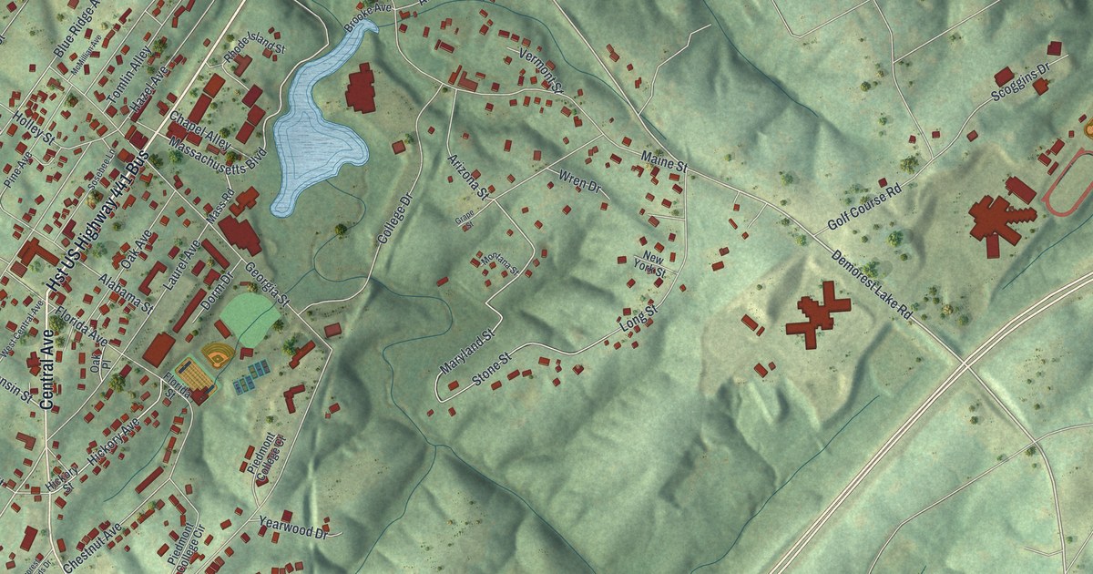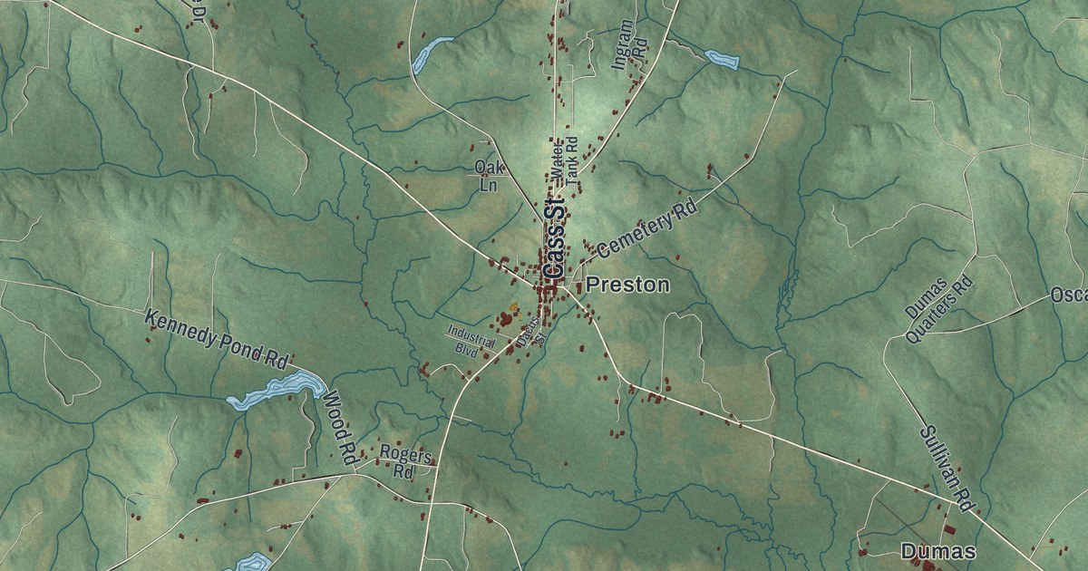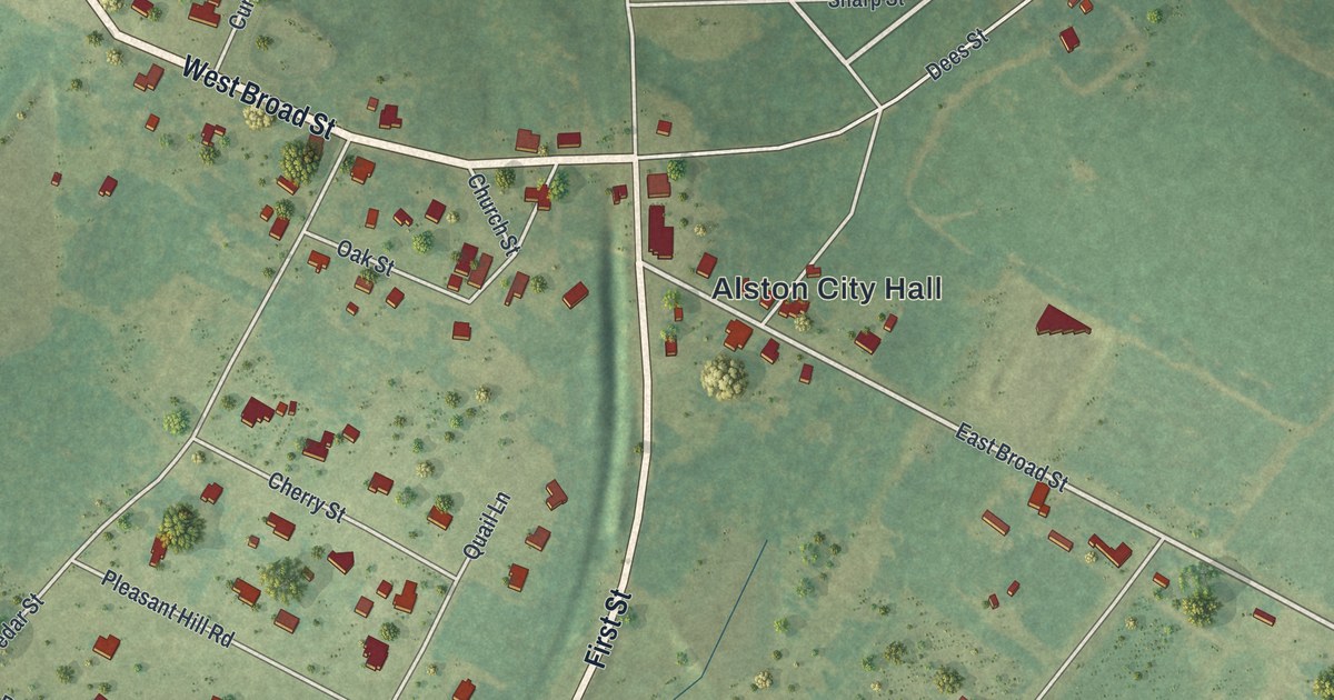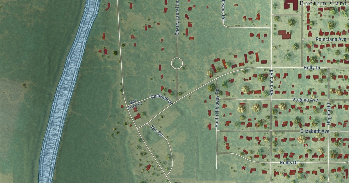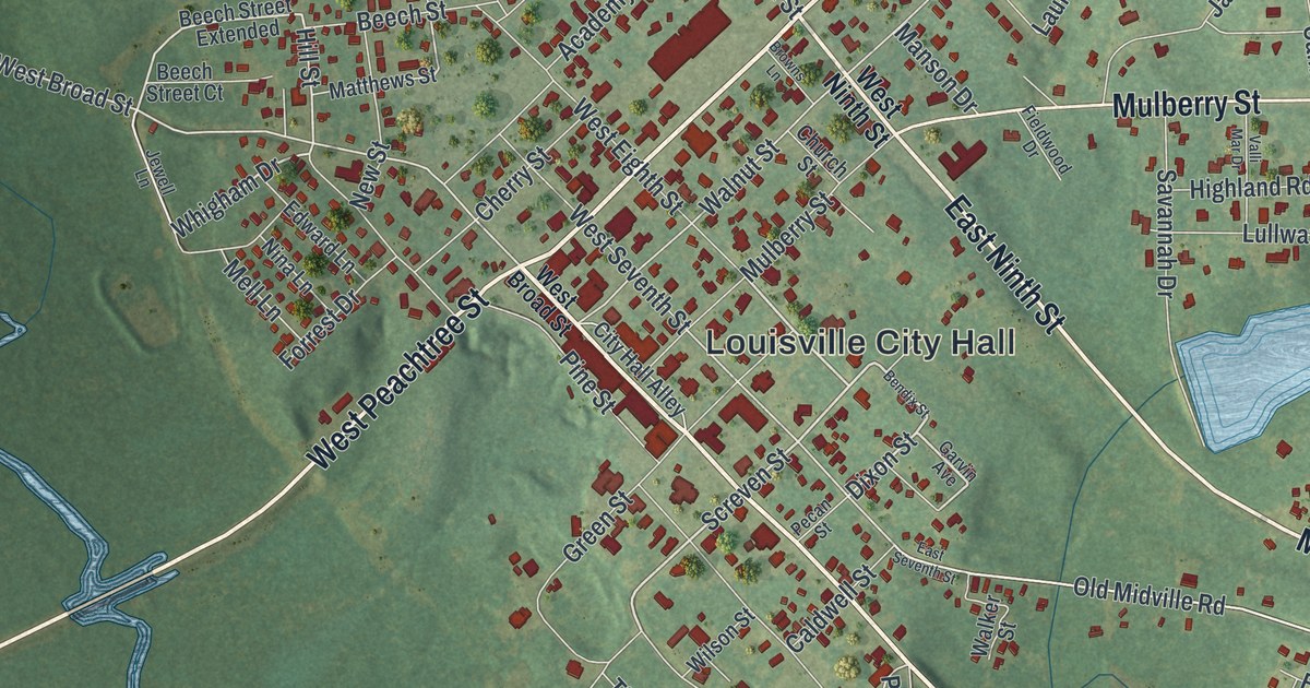
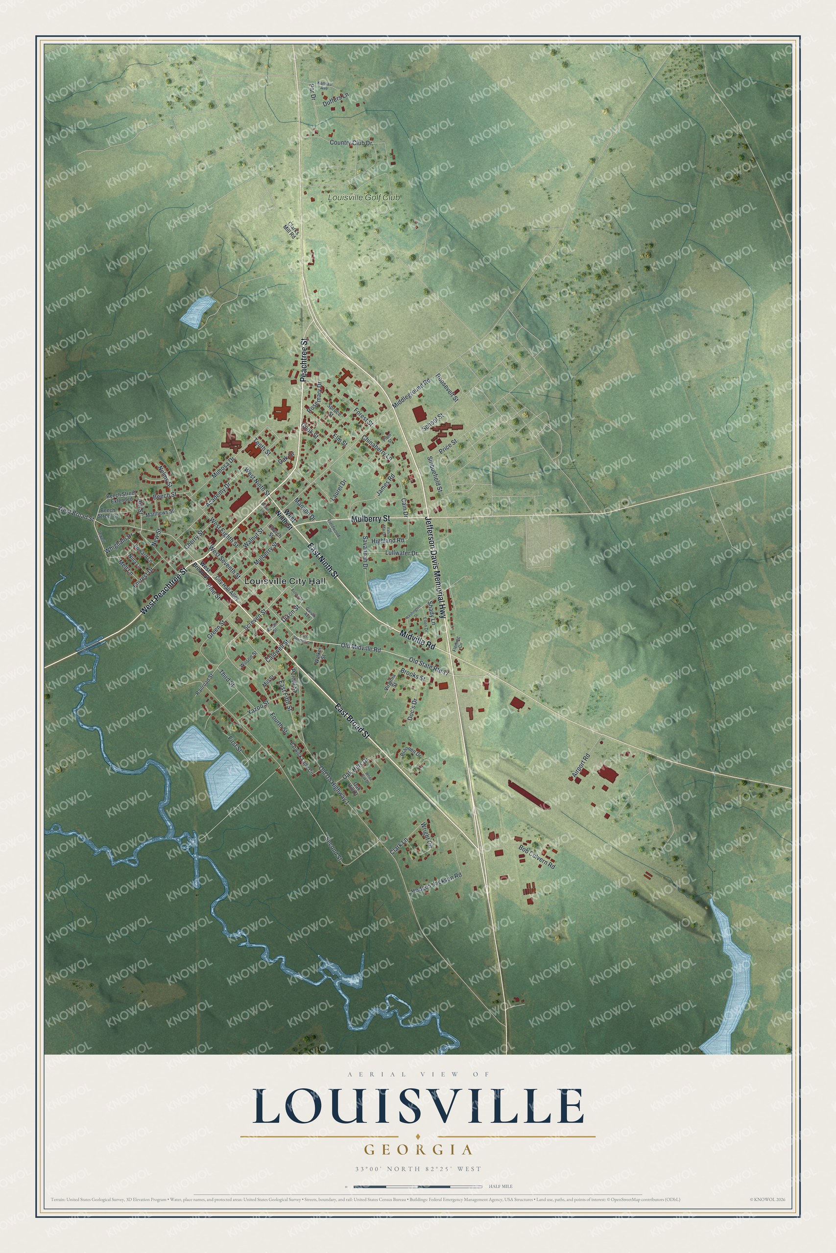
This beautifully detailed map of Louisville, Georgia was created in 2026 using aerial imagery combined with modern topographical, census, street and landmark data. It’s a one-of-a-kind view of Louisville that combines accurate data with a vintage aesthetic. The map shows every building in its true location, many of the roads carry their names, and the shaded topographic relief shows the shape of the land.
Explore an aerial view of Louisville, Georgia
On the map you’ll find Louisville City Hall, along with Peachtree Street, Jefferson Davis Memorial Highway, Broad Street, Ninth Street, and more. If you look closely you can even find your house accurately drawn in its correct location. Zoom in on the preview to look for yours.
Did You Know?
Louisville followed Savannah and Augusta as the capital of Georgia. The state constitution of 1789 called for a convention five years later. When that convention met in 1795, it chose Louisville as the new seat of state government. That’s from the 1940 WPA guide to Georgia.
Take a closer look at the Louisville map
Names on this map
These names are printed on this map.
Places: Louisville City Hall and Louisville Golf Club.
Streets and roads: Peachtree Street, Jefferson Davis Memorial Highway, East Broad Street, East Ninth Street, Midville Road, Mulberry Street, West Peachtree Street, Screven Street, Dixon Street, Whigham Drive, Old Midville Road, Old State Route 17.
More street names, A to Z
Academy Drive, Airport Road, Barwick Lane Circle, Beech Street, Beech Street Court, Beech Street Extended, Bendix Street, Bob Culvern Road, Brannen Drive, Brooks Street, Browns Lane, Cain Drive, Caldwell Street, Cherry Street, Chinaberry Lane, Church Street, City Hall Alley, Clark Lane, Clarks Mill Road, Cook Street, Country Club Drive, Doc's Drive, Duffers Lane, East Fifth Street, East Seventh Street, Edward Lane, Ellen Drive, Elm Street, Fieldwood Drive, First Street, Fleming Circle, Forest Street, Forrest Drive, Fourth Street, Garvin Avenue, Green Street, Highland Road, Hill Street, Hodges Jackson Road, James Road, Jewell Lane, Kansas Avenue, Laurel Drive, Lullwater Drive, Manson Drive, Matthews Street, Mell Lane, Middleground Road, Mill Street, Mimosa Drive, Nelms Street, New Street, Nina Lane, Oak Drive, Oak Hill Court, Oak Hills Drive, Old US Highway 1, Par Drive, Pecan Street, Pine Street, Plum Street, Polhill Street, Price Street, Railroad Street, Roosevelt Street, Rosemary Drive, Savannah Drive, School Street, Second Street, Shady Lane, Sinquefield Street, Spruce Street, Tenth Street, Third Street, Valli Mar Drive, Virginia Street, Walker Street, Walnut Street, Washington Drive, West Broad Street, West Eighth Street, West Ninth Street, West Seventh Street, White Oak Drive, Wilson Street, Wright Circle, Yazoo Street.
See it on a wall
The Louisville map as a framed print. Swipe for more.


This beautifully detailed map of Louisville makes an attractive addition to your office, library, or den, and it can even be used to teach children the geography and history of the area. It also makes a great gift for anyone with Louisville roots. When you’re done exploring, click here to get your copy of the Louisville map.