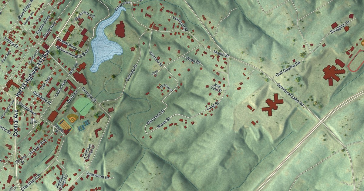
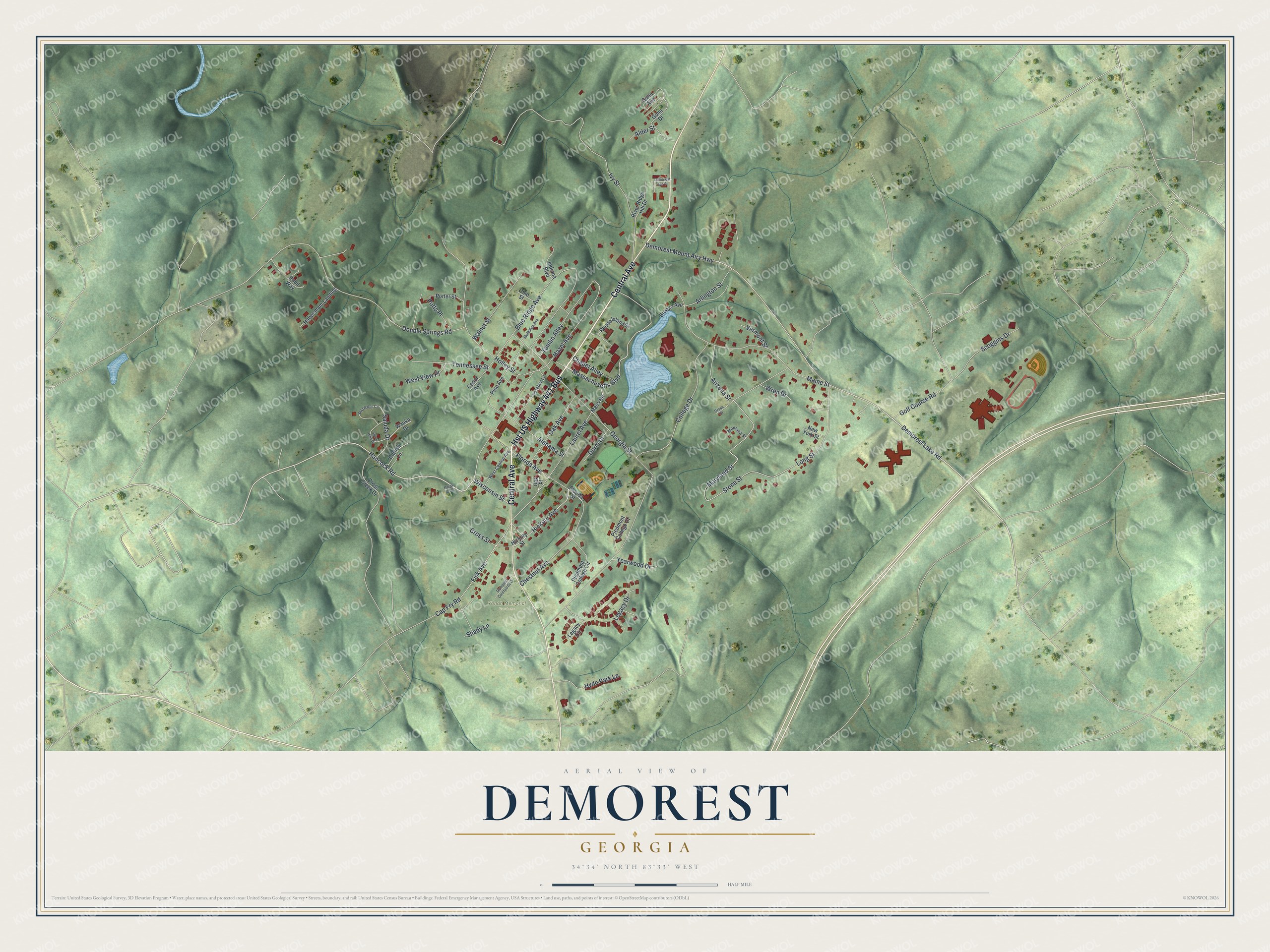
This beautifully detailed map of Demorest, Georgia was created in 2026 using aerial imagery combined with modern topographical, census, street and landmark data. It’s a one-of-a-kind view of Demorest that combines accurate data with a vintage aesthetic. The map shows every building in its true location, many of the roads carry their names, and the shaded topographic relief shows the shape of the land.
Explore an aerial view of Demorest, Georgia
On the map you’ll find Yonah Memorial Gardens, along with Central Avenue, Hancock Road, Demorest Lake Road, Wisconsin Street, Massachusetts Boulevard, and more. If you look closely you can even find your house accurately drawn in its correct location. Zoom in on the preview to look for yours.
Did You Know?
Demorest was laid out in 1890 as a temperance town. Its founders named it for William Jennings Demorest. He was a well known advocate of prohibition.
Take a closer look at the Demorest map
Names on this map
These names are printed on this map.
Places: Yonah Memorial Gardens.
Streets and roads: Central Avenue, Hst US Highway 441 Bus, Hancock Road, Demorest Lake Road, Wisconsin Street, Massachusetts Boulevard, Demorest Mount Airy Highway, Maryland Street, Fisk Avenue, Hickory Avenue, Georgia Street, Hazel Avenue.
More street names, A to Z
Alabama Street, Alder Street, Arizona Street, Arlington Street, Bald Ridge Circle, Blue Ridge Avenue, Brooke Avenue, Cap Fry Road, Catfish Lane, Cedar Avenue, Chapel Alley, Chestnut Avenue, College Drive, Cross Creek Drive, Cross Street, Demorest Apt Court, Demorest Courtyards Drive, Dorm Drive, Double Springs Road, Florida Avenue, Florida Street, Golf Course Road, Grape Street, Gunn Avenue, Gunn Drive, Habersham Landing, Hardy Acres, Hickory Street, Holley Street, Hyde Park Lane, Indiana Boulevard, Ivy Street, Laurel Avenue, Legacy Circle, Legacy Drive, Long Street, Maine Street, Mass Road, McMillian Avenue, Montana Street, New York Street, Oak Avenue, Oak Place, Ohio Street, Piedmont College Circle, Piedmont College Court, Pine Avenue, Porter Street, Putts Place, Rhode Island Street, River Ridge Hill Drive, Rubil Way, Saluda Drive, Scoggins Drive, Shady Lane, Sosebee Lane, Spiral Hills Drive, Stone Street, Tennessee Street, Tomlin Alley, Vermont Street, Walnut Street, Wauka Drive, West Central Avenue, West View Place, Wren Drive, Yearwood Drive.
See it on a wall
The Demorest map as a framed print. Swipe for more.


This beautifully detailed map of Demorest makes an attractive addition to your office, library, or den, and it can even be used to teach children the geography and history of the area. It also makes a great gift for someone who left Demorest and still calls it home. When you’re done exploring, click here to get your copy of the Demorest map.