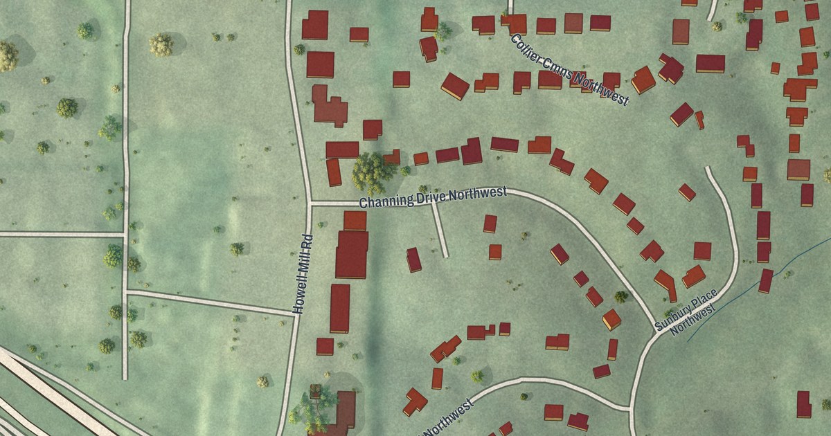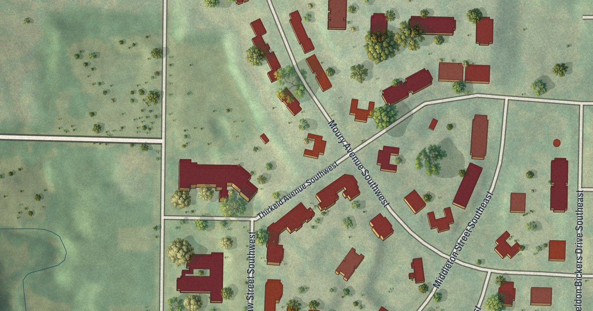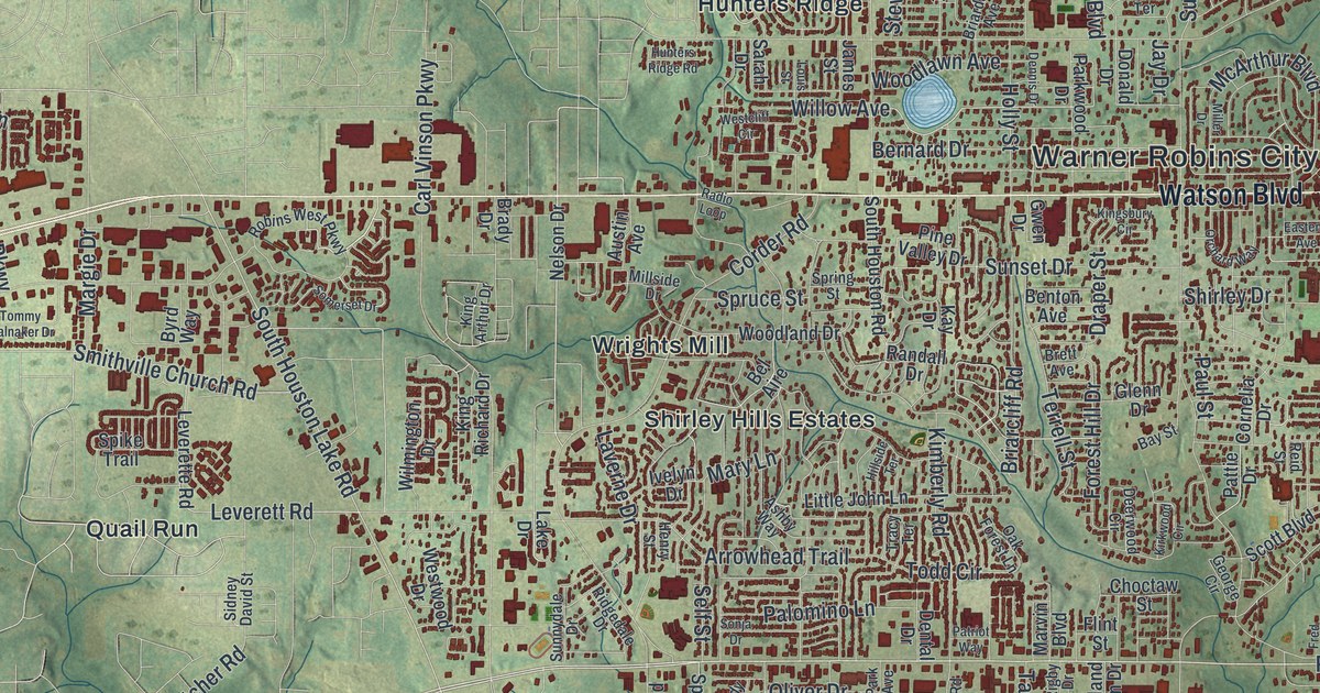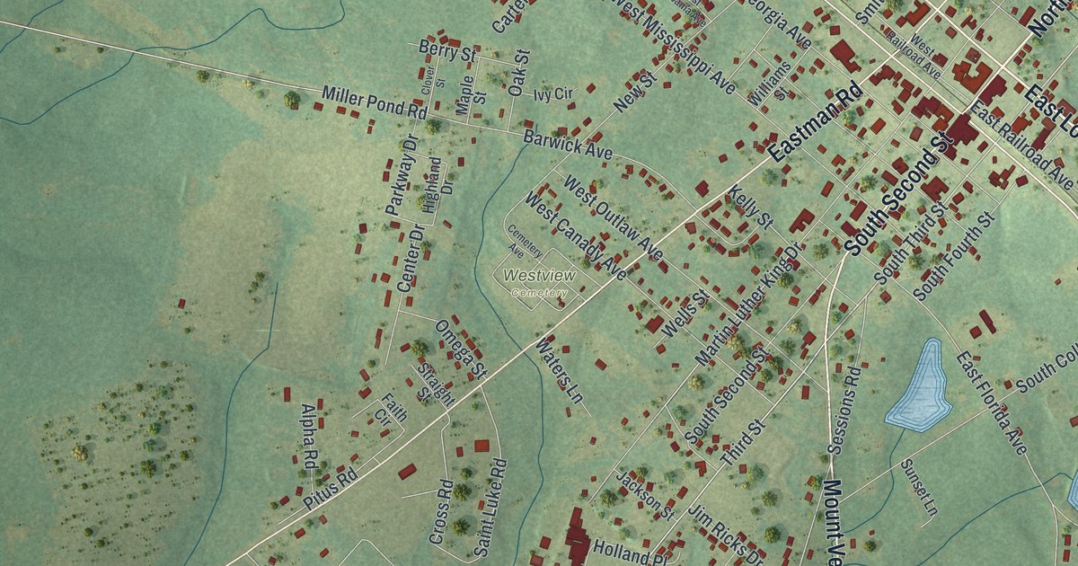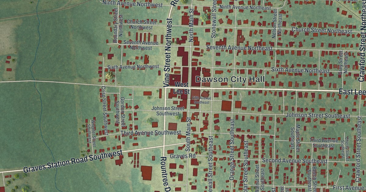
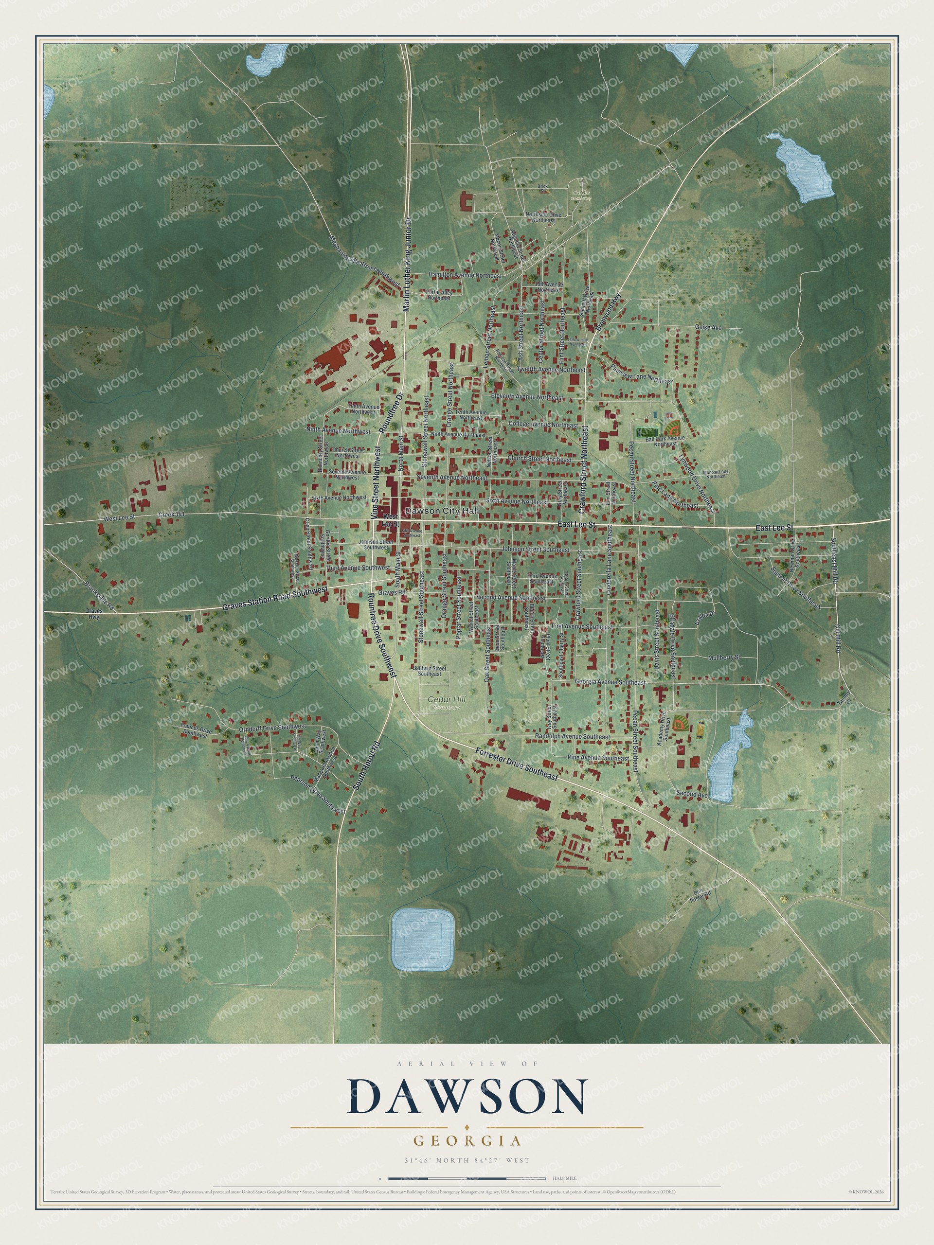
This beautifully detailed map of Dawson, Georgia was created in 2026 using aerial imagery combined with modern topographical, census, street and landmark data. It’s a one-of-a-kind view of Dawson that combines accurate data with a vintage aesthetic. The map shows every building in its true location, many of the roads carry their names, and the shaded topographic relief shows the shape of the land.
Explore an aerial view of Dawson, Georgia
On the map you’ll find Dawson City Hall, Cedar Hill Cemetery, and Sardis Cemetery, along with Lee Street, Rountree Drive, Vine Street, Roundtree Drive, and more. If you look closely you can even find your house accurately drawn in its correct location. Zoom in on the preview to look for yours.
Did You Know?
Dawson was founded in 1856 to serve as the seat of the new Terrell County. The city was named for William Crosby Dawson, a United States senator from Georgia. It became a town in 1857 and a city in 1872.
Take a closer look at the Dawson map
Names on this map
These names are printed on this map.
Places: Dawson City Hall, Cedar Hill Cemetery and Sardis Cemetery.
Streets and roads: East Lee Street, Rountree Drive Southwest, Vine Street Northwest, Roundtree Drive, Forrester Drive Southeast, Crawford Street Northeast, South Herod Road, Graves Station Road Southwest, Martin Luther King Junior Drive, Southeast Mill Road, North Main Street, Georgia Avenue Southeast.
More street names, A to Z
13th Avenue Northeast, 15th Avenue Northeast, Academy Drive Southeast, Ash Street Northeast, Augusta Street Northeast, Azalea Drive, Baldwin Street Southeast, Ball Park Avenue Northeast, Beech Street Southeast, Boundary Street Northwest, Brick Street, Bronwood Highway, Brooksville Road, Center Street Northeast, Cherry Street Southeast, Church Street Northeast, Church Street Northwest, Cinderella Lane Southeast, College Avenue Northeast, Crawford Street Southeast, Creek 141, Crisp Street Southwest, Davis Street Southeast, Dean Street Southeast, Don Foster Road, Eleventh Avenue Northeast, Elladale Drive Southeast, Elm Street Northeast, Fifth Avenue Southeast, First Avenue Southeast, Flint Street Northeast, Frances Drive Southwest, Geise Avenue, Gordon Street Southwest, Graves Highway, Graves Road, Grey Street Northeast, Hamilton Avenue Northeast, Ivey Street Southeast, Jane Way Southwest, Jim Way Southwest, Johnson Street Southeast, Johnson Street Southwest, Judy Avenue Southwest, Lemon Street Northeast, Lynwood Drive Northeast, Macon Street Northeast, Maple Street Southeast, Margaret Avenue Southwest, Mechanicsville Street Northwest, Mimosa Lane Northeast, Mullberry Street, Nelson Street Northeast, Newman Drive Southeast, Ninth Avenue Northeast, Ninth Avenue Northwest, Northside Drive Northeast, Oak Street Southeast, Old Mill Road, Orange Street Northeast, Orange Street Southeast, Orndorff Drive Southwest, Pearson Drive Southwest, Pecan Street Northeast, Pecan Street Southeast, Pine Avenue Southeast, Pine Lane Northeast, Pineview Lane Northeast, Plum Street Southeast, Poplar Street Southeast, Porter Alley Northeast, Railroad Street Northeast, Randolph Avenue Southeast, Second Avenue, Second Avenue Southeast, Seventh Avenue Northeast, Seventh Avenue Northwest, Sixth Avenue Northeast, Sixth Avenue Northwest, Southeast Cherry Street, South Main Street, Stonewall Street Northeast, Stonewall Street Southeast, Summit Drive Southeast, Summitt Drive Northeast, Tammy Lane, Tenth Avenue Northeast, Tenth Avenue Northwest, Third Avenue Southeast, Third Avenue Southwest, Twelfth Avenue Northeast, Walnut Street Southeast, West Lee Street, Wheeler Street Southwest.
See it on a wall
The Dawson map as a framed print. Swipe for more.


This beautifully detailed map of Dawson makes an attractive addition to your office, library, or den, and it can even be used to teach children the geography and history of the area. It also makes a great gift for someone who left Dawson and still calls it home. When you’re done exploring, click here to get your copy of the Dawson map.