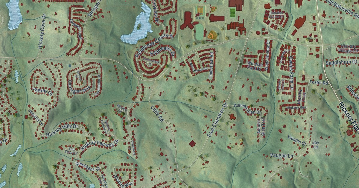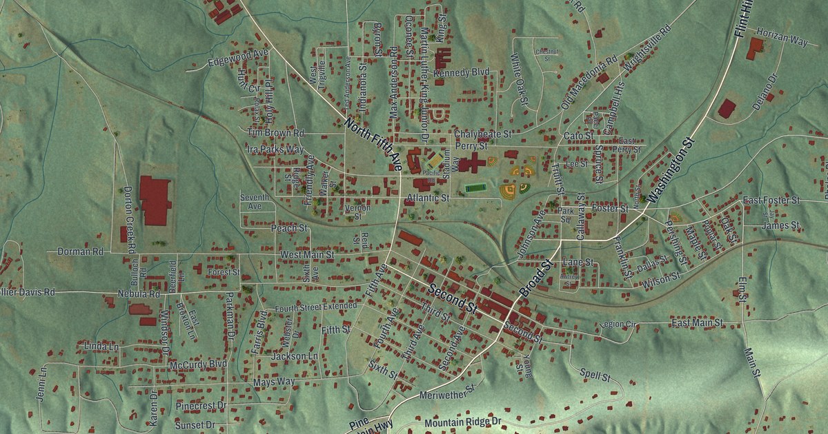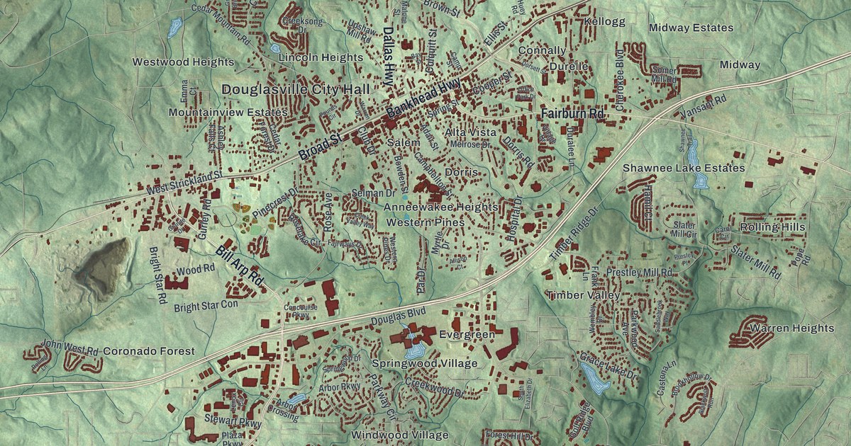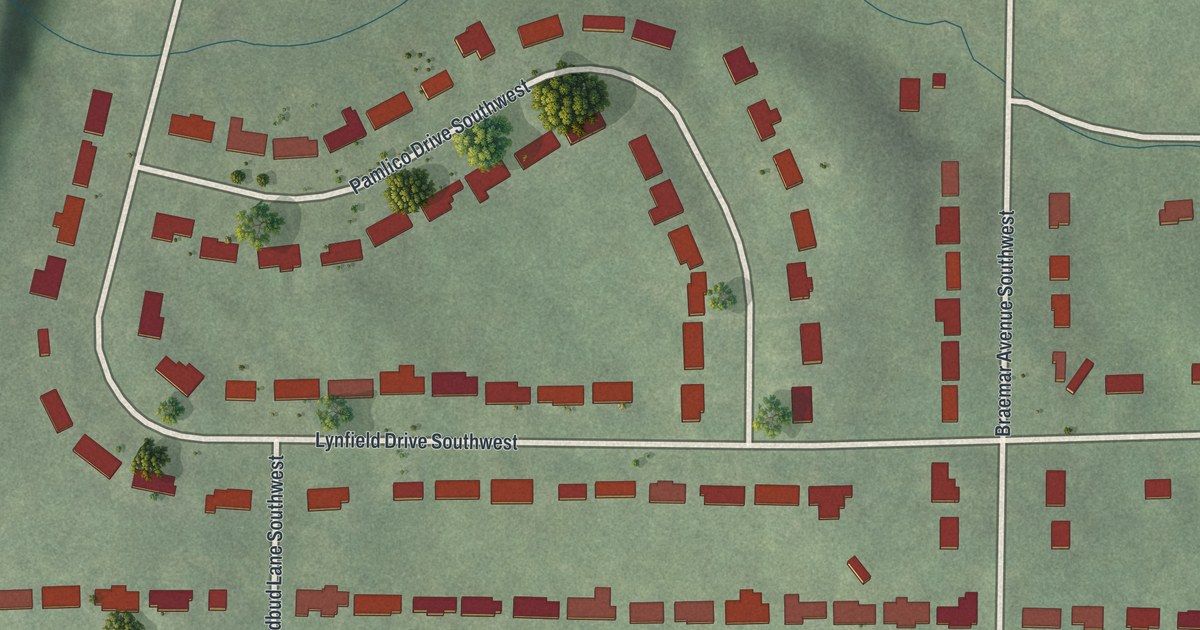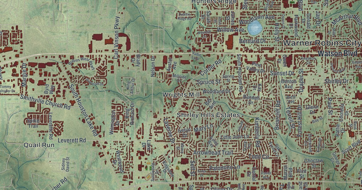
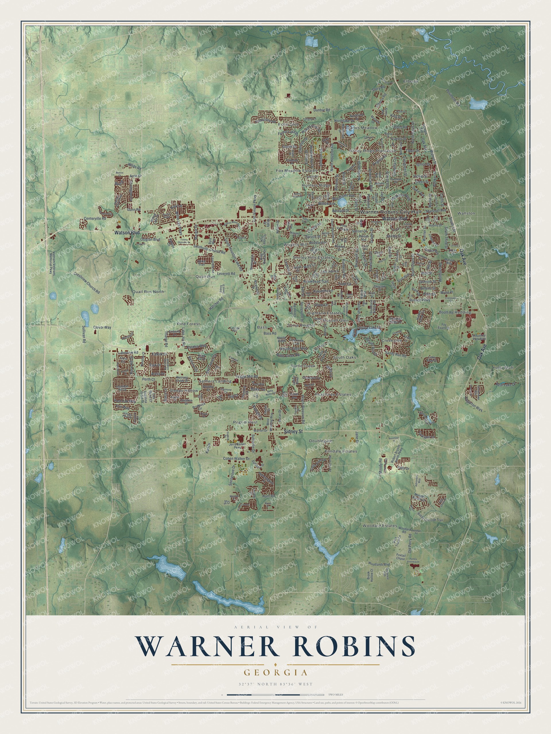
This beautifully detailed map of Warner Robins, Georgia was created in 2026 using aerial imagery combined with modern topographical, census, street and landmark data. It’s a one-of-a-kind view of Warner Robins that combines accurate data with a vintage aesthetic. The map shows every building in its true location, many of the roads carry their names, and the shaded topographic relief shows the shape of the land.
Explore an aerial view of Warner Robins, Georgia
On the map you’ll find Warner Robins City Hall, Bass, Creekside, Danes Meadow, Doublegate, and Echo Glen, along with Oak Avenue, Watson Boulevard, Sidney Street, Russell Parkway, and more. If you look closely you can even find your house accurately drawn in its correct location. Zoom in on the preview to look for yours.
Did You Know?
The city began as Wellston, a small farming stop on the railroad. In 1942 an Army air depot opened there. Its commander, Colonel Charles E. Thomas, wanted to honor his mentor, General Augustine Warner Robins. Rules said the base must carry the nearest town’s name. So he persuaded local leaders to rename the town.
Take a closer look at the Warner Robins map
Names on this map
These names are printed on this map.
Places: Warner Robins City Hall, Bass, Creekside, Danes Meadow, Doublegate, Echo Glen, Elberta, Elmdale Estates, Fox Meadow Estates, Highland Estates, Holly Bluff, Honey Ridge Plantation, Hunters Ridge, Peachtree Estates, Pilgrim Rest, Pine Forest, Quail Run, Quail Run North, Redding, Russell Glen, Settlers Landing, Shirley Hills Estates, Sleepy Hollow, Sonja Heights, South Oaks, Turtle Creek, Wallston, Woodard Estates and Wrights Mill.
Streets and roads: Oak Avenue, Watson Boulevard, Sidney Street, Russell Parkway, South 1 Street, Corder Road, White Road, Virginia Drive, South Houston Lake Road, Willow Avenue, Feagin Mill Road, Moody Road.
More street names, A to Z
Adirondac Way, American Boulevard, Andra Avenue, Angelina Grace Drive, Arelia Drive, Arrie Drive, Arrowhead Trail, Ashby Way, Athens Street, Austin Avenue, Avalon Drive, Avondale Circle, Bass Road, Baxter Drive, Bay Laurel Circle, Bay Street, Bear Lake Drive, Beaver Run Drive, Bel Aire, Bella Notte Circle, Benton Avenue, Bernard Drive, Blake Terrace, Blue Ridge Lane, Booker Street, Booth Road, Brady Drive, Brentfield Drive, Brett Avenue, Briarcliff Road, Briardale Avenue, Bristleleaf Path, Broderick Circle, Brook Hollow Court, Bruce Street, Bryson Way, Burns Drive, Burr Drive, Byrd Way, Calhoun Street, Camden Court, Camellia Circle, Camelot Place, Carl Vinson Parkway, Carriage Run, Carver Court, Castle Pines Drive, Centerville Road, Chadwyck Lane, Charlestown Way, Cheshire Drive, Choctaw Street, Clemson Drive, Clever Way, Cohen Walker Drive, Cornelia Drive, Covington Cv, Creekside Drive, Creekview Trail, Crestview Church Road, Crestview Drive, Curtis Street, Deerwood Circle, Dennis Drive, Dental Drive, Deven Court, Dixon Street, Donald Drive, Dorothy Court, Downing Circle, Dragstrip Road, Draper Street, Duke Avenue, Dunbar Road, Eastend Avenue, Echo Lane, Edgarton Way, Elberta Road, Emberly Lane, Emory Drive, Ennis Avenue, Eric Drive, Erin Way, Estates Way, Evergreen Street, Falkirk Drive, Falls Drive, Fieldstone Road, Flint Street, Flora Circle, Forest Hill Drive, Forest Lake Drive, Foxtail Chase, Foy Evans Drive, Francis Street, Franklin Square, Fred Drive, Gawin Drive, George Circle, Georgia Avenue, Glenn Drive, Grand Avenue, Greenbriar Road, Green Street, Gunn Road, Gwen Drive, Hatcher Road, Haverhill Circle, Henry Street, Hidden Creek Circle, Hillside Terrace, Hill Street, Holly Street, Hummingbird Lane, Hunters Ridge Road, Hunt Road, Ignico Drive, Industrial Park Boulevard, Island Boulevard, Ivelyn Drive, Jackson Street, James Street, Jane Drive, Jay Drive, Jerry Barker Parkway, Jerusalem Church Road, Johnson Road, Johns Road, Karl Drive, Katelyn Circle, Kay Drive, Keith Drive, Kimberly Road, King Arthur Drive, King Drive, King Richard Drive, Kingsbury Circle, Kingsnoll Drive, Kirkwood Circle, Knights Bridge, Knob Hill Drive, Lady Lane, Lake Drive, Lake Joy Road, Lakeview Road, Larkspur Lane, Lasso Drive, Lattice Bend, Laverne Drive, Ledford Way, Leisure Lake Drive, Leroy Street, Leverette Road, Leverett Road, Liam Court, Library Street, Links View Drive, Linwood Drive, Lisa Marie Court, Little John Lane, Louis Street, Loundon Hill Drive, Lovorn Circle, Madison Place Parkway, Madrid Street, Malachi Drive, Margie Drive, Marion Way, Markwood Drive, Marshall Avenue, Marvin Boulevard, Mary Lane, McArthur Boulevard, Meadowridge Drive, Melody Lane, Miller Drive, Millside Drive, Monroe Court, Moran Drive, Morgan Ranch Circle, Mossy Ridge, Mount Zion Road, Myles Lane, Myrtle Street, Nandina Court, Nelson Drive, Norfolk Circle, North Avenue, North Davis Drive, Northfield Drive, North Fifth Street, North Houston Road, Northlake Drive, Northside Drive, Oak Forest Lane, Old Perry Road, Oliver Drive, Olmsted Street, Orchard Way, Osigian Boulevard, Palm Drive, Palomino Lane, Pamela Greenway Drive, Park Avenue, Park Drive, Park Lane, Parkwood Drive, Patriot Way, Pattie Drive, Paul Street, Peach Blossom Road, Perimeter Road, Perth Court, Pine Trace Lane, Pine Valley Drive, Plantation Road, Post Oak Way, Radio Loop, Raleigh Drive, Randall Drive, Randolph Avenue, Randy Circle, Raymond Circle, Reid Street, Ridgedale Drive, Rigby Drive, Robert Bryson Smith Parkway, Robins Drive, Robins West Parkway, Rose Hill Drive, Roseine Drive, Rosewater Drive, Running Creek Drive, Rustic Live Oak Trail, Sage Drive, Sandy Run Road, Sarah Drive, Sark Drive, Scott Boulevard, Self Street, Shannon Ridge Drive, Shirley Drive, Sidney David Street, Sig Court, Smithville Church Road, Snellgrove Drive, Solomon Road, Somerset Drive, Sonja Drive, South Corder Road, South Davis Drive, South Fifth Street, South Houston Road, South Kimberly Road, Southland Station Drive, South Third Street, Spike Trail, Spring Street, Springwood Drive, Spruce Street, Stacy Lane, Stevens Street, Stonebrook Circle, Stoney Creek Drive, Story Road, Sullivan Road, Sunnydale Drive, Sunset Drive, Sunstede Road, Sutherlin Drive, Sutherlin Street, Suzanne Drive, Tabor Drive, Tallulah Trail, Tanglewood Court, Terrell Street, Terry Street, Tharpe Road, Thornton Drive, Tiffany Lane, Todd Circle, Tommy Stalnaker Drive, Tracy Terrace, Tug Court, Turtle Creek Drive, Utah Avenue, Vickie Drive, Victoria Circle, Vietnam Veterans Memorial Parkway, Villa Gloria Drive, Vinings Place Drive, Wake Forest Drive, Wall Street, Walnut Street, Ward Street, Warner Drive, Warren Drive, Wellborn Road, Westcliff Circle, Weston Drive, Westwood Drive, West Wrasling Way, Williams Terrace, Willie Lee Parkway, Willis Creek Road, Willow Lake Drive, Wilmington Drive, Wilson Road, Wilsons Creek Bend, Wiltshire Court, Wisconsin Avenue, Woodard Road, Woodland Drive, Woodlands Boulevard, Woodlawn Avenue, Woods Edge Way, Wynfield Lane, Wynn Place.
See it on a wall
The Warner Robins map as a framed print. Swipe for more.


This beautifully detailed map of Warner Robins makes an attractive addition to your office, library, or den, and it can even be used to teach children the geography and history of the area. It also makes a great gift for anyone who grew up in Warner Robins or moved away. When you’re done exploring, click here to get your copy of the Warner Robins map.