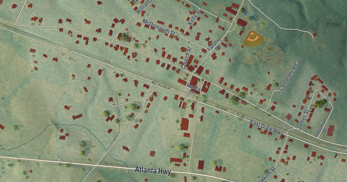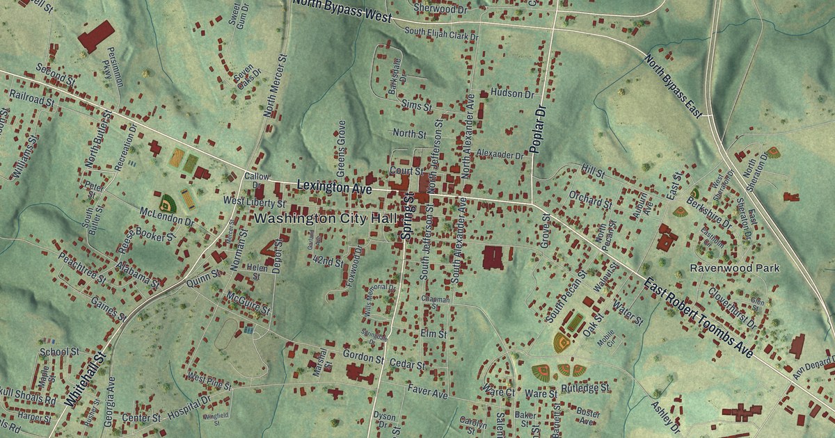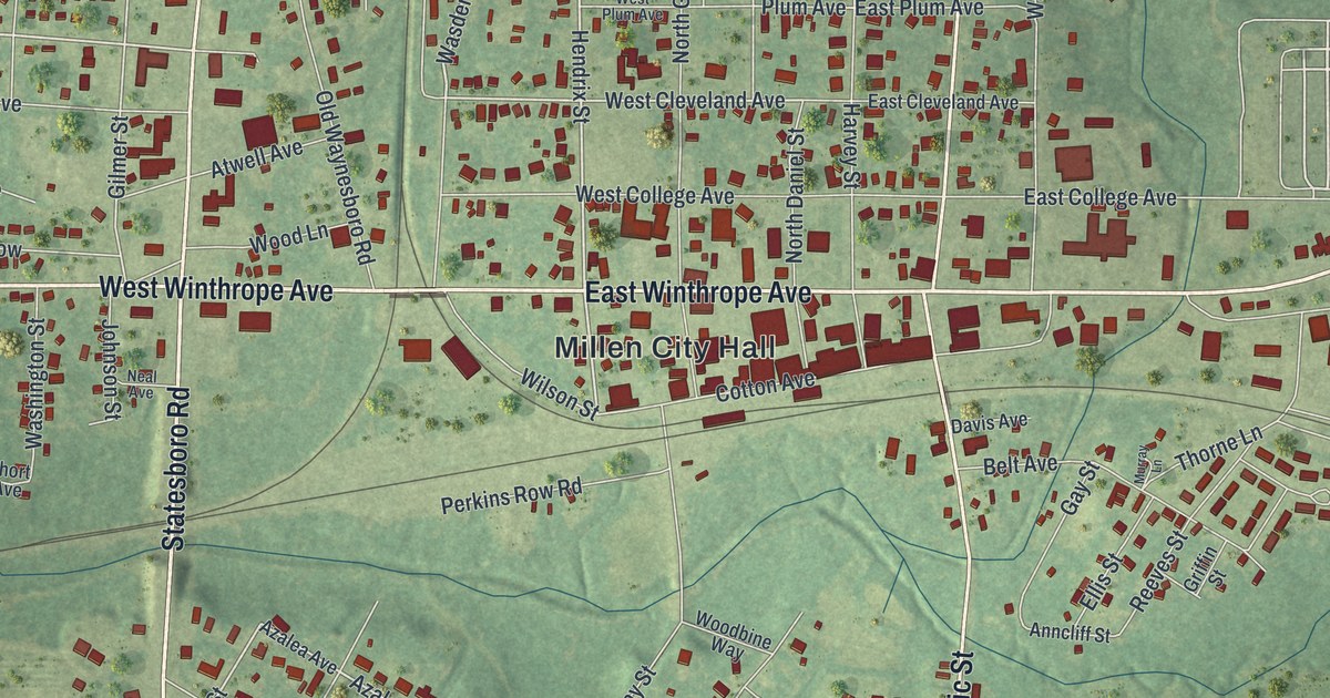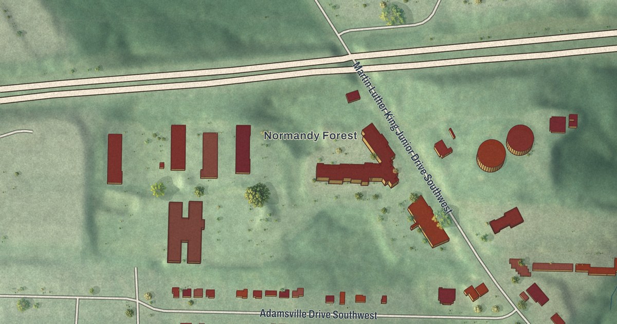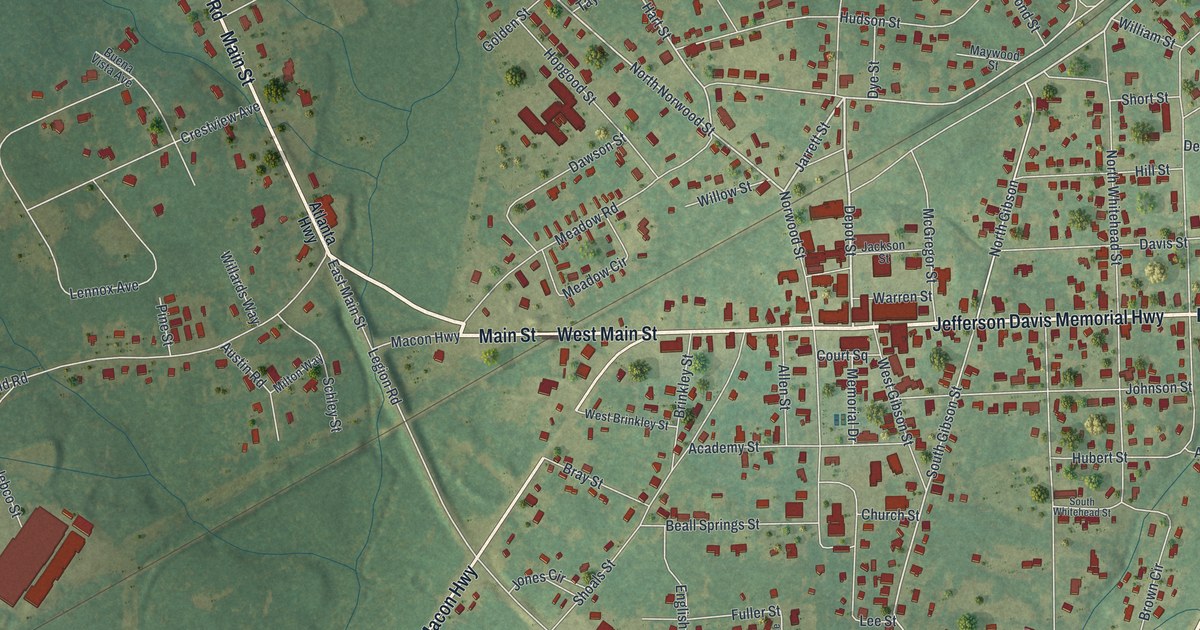
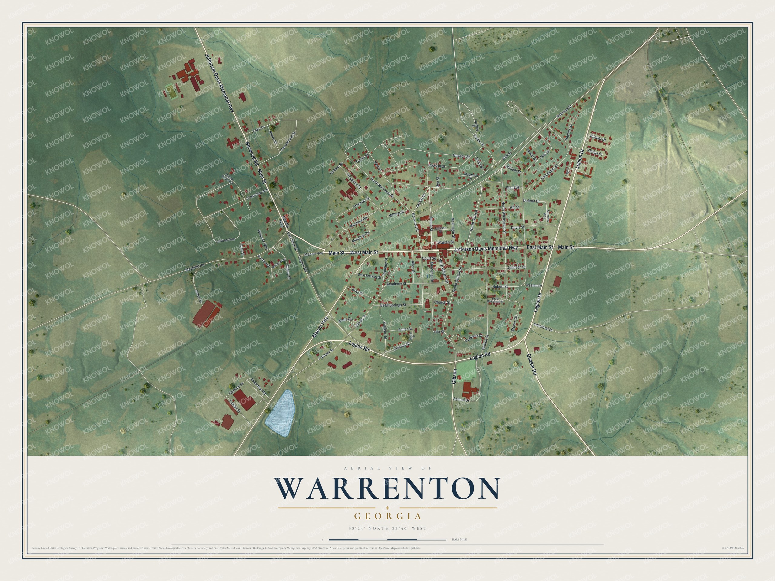
This beautifully detailed map of Warrenton, Georgia was created in 2026 using aerial imagery combined with modern topographical, census, street and landmark data. It’s a one-of-a-kind view of Warrenton that combines accurate data with a vintage aesthetic. The map shows every building in its true location, many of the roads carry their names, and the shaded topographic relief shows the shape of the land.
Explore an aerial view of Warrenton, Georgia
On the map you’ll find Main Street, Quaker Road, Legion Drive, Norwood Road, Jefferson Davis Memorial Highway, and more. If you look closely you can even find your house accurately drawn in its correct location. Zoom in on the preview to look for yours.
Did You Know?
David Bushnell built the first submarine ever used in battle. After the Revolutionary War he settled in Warrenton. He taught at the Warrenton Academy and died in town in 1824. Warrenton was founded in 1797 and named for General Joseph Warren.
Take a closer look at the Warrenton map
Names on this map
These names are printed on this map.
Streets and roads: Main Street, East Main Street, West Main Street, Quaker Road, Legion Drive, Norwood Road, Jefferson Davis Memorial Highway, Legion Road, Macon Highway, Gibson, Depot Street, Hall Street.
More street names, A to Z
Academy Street, Allen Street, Atlanta Highway, Austin Road, Azalea Drive, Beall Springs Street, Bond Street, Bray Street, Brinkley Street, Brown Circle, Buena Vista Avenue, Cedar Street, Church Street, Court Square, Crestview Avenue, Culpepper Street, Davis Street, Dawson Street, Delmar Drive, Dye Street, Emmett Street, English Road, Fowler Street, Fuller Street, Garland Street, Golden Street, Hart Street, Haynes Street, Hill Street, Hopgood Street, Hubert Street, Hudson Street, Industrial Drive, Industrial Road, Jackson Street, Jarrett Street, Jebco Street, Johnson Street, Jones Circle, Lake Drive, Lazenby Street, Lee Street, Legion Court, Lennox Avenue, Mayfield Road, Maywood Street, McGregor Street, Meadow Circle, Meadow Road, Memorial Drive, Milton Way, Myrtle Street, Newton Street, North Gibson, North Norwood Street, North Whitehead Street, Norwood Street, Oak Street, Parham Street, Parkway Drive, Persimmon Street, Phelps Drive, Pilcher Drive, Pine Street, Railroad Street, Schley Street, School Drive, Shoals Street, Shore Street, Short Street, South Gibson Street, South Whitehead Street, Success Way, Swint Street, Taylor Street, Warren Street, West Brinkley Street, West Gibson Street, Wilhoit Street, Willards Way, William Street, Willow Street.
See it on a wall
The Warrenton map as a framed print. Swipe for more.


This beautifully detailed map of Warrenton makes an attractive addition to your office, library, or den, and it can even be used to teach children the geography and history of the area. It also makes a great gift for someone who left Warrenton and still calls it home. When you’re done exploring, click here to get your copy of the Warrenton map.