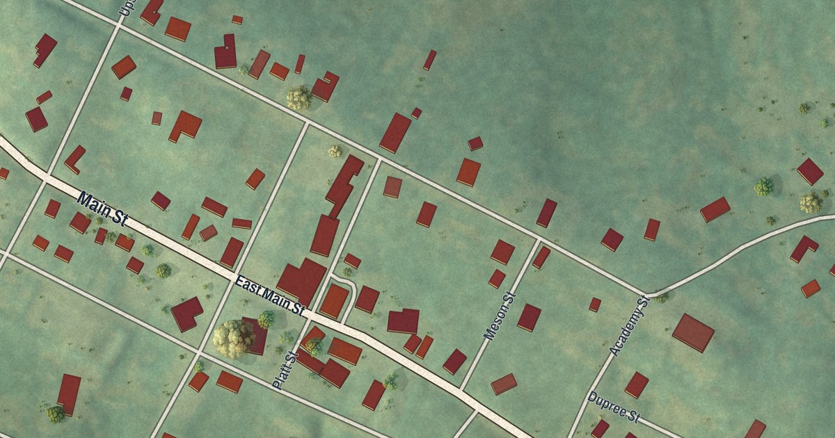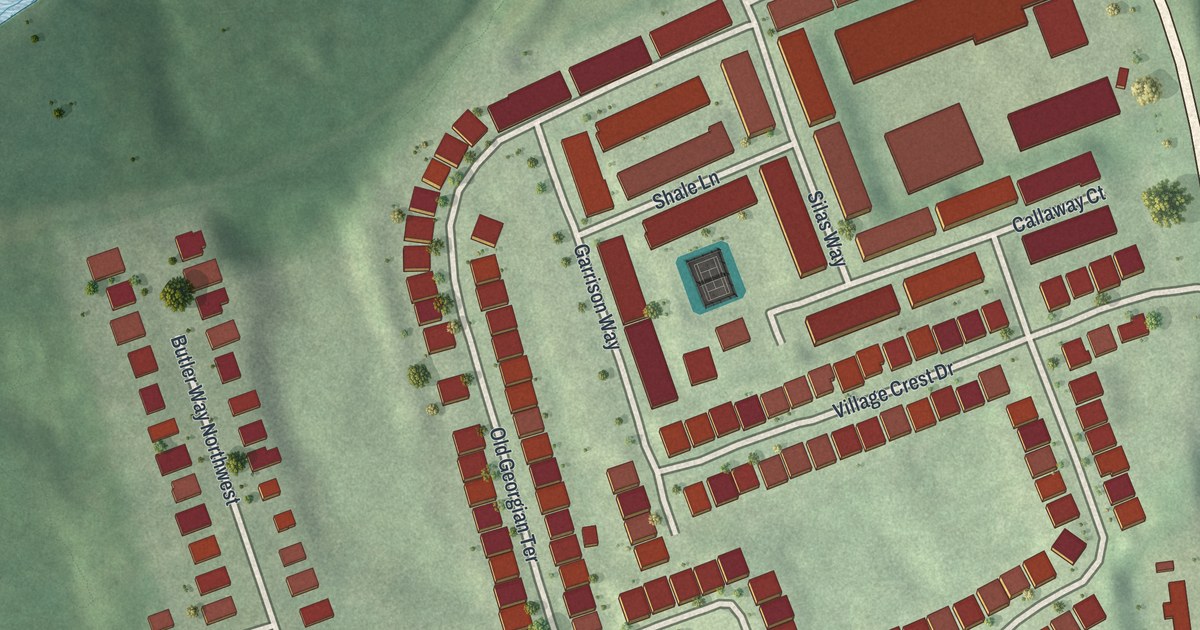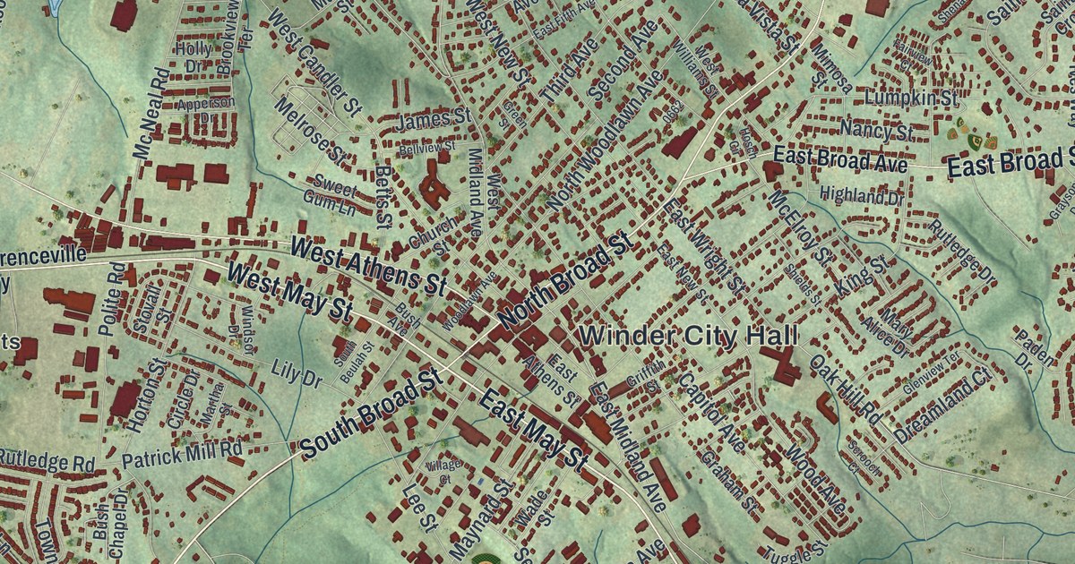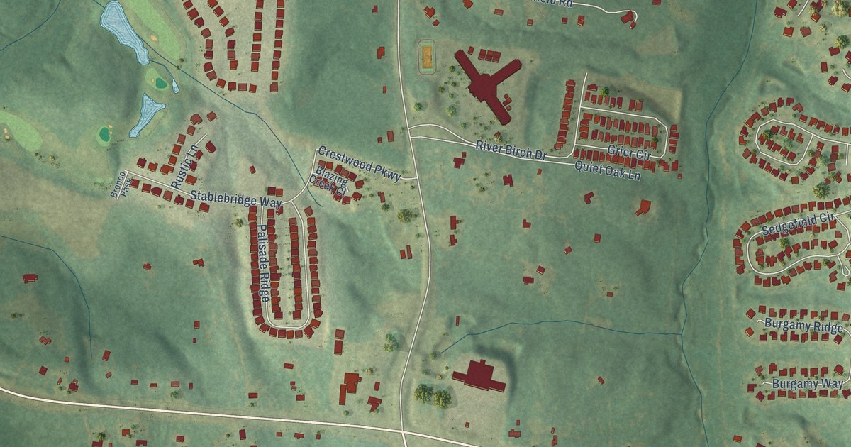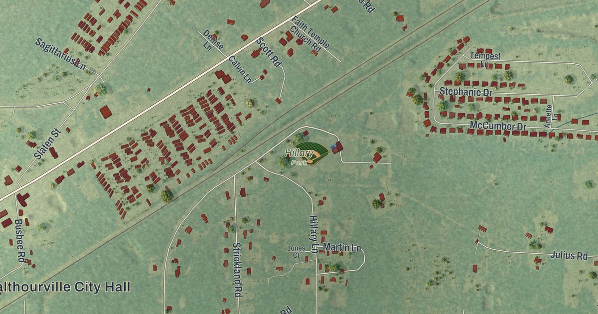
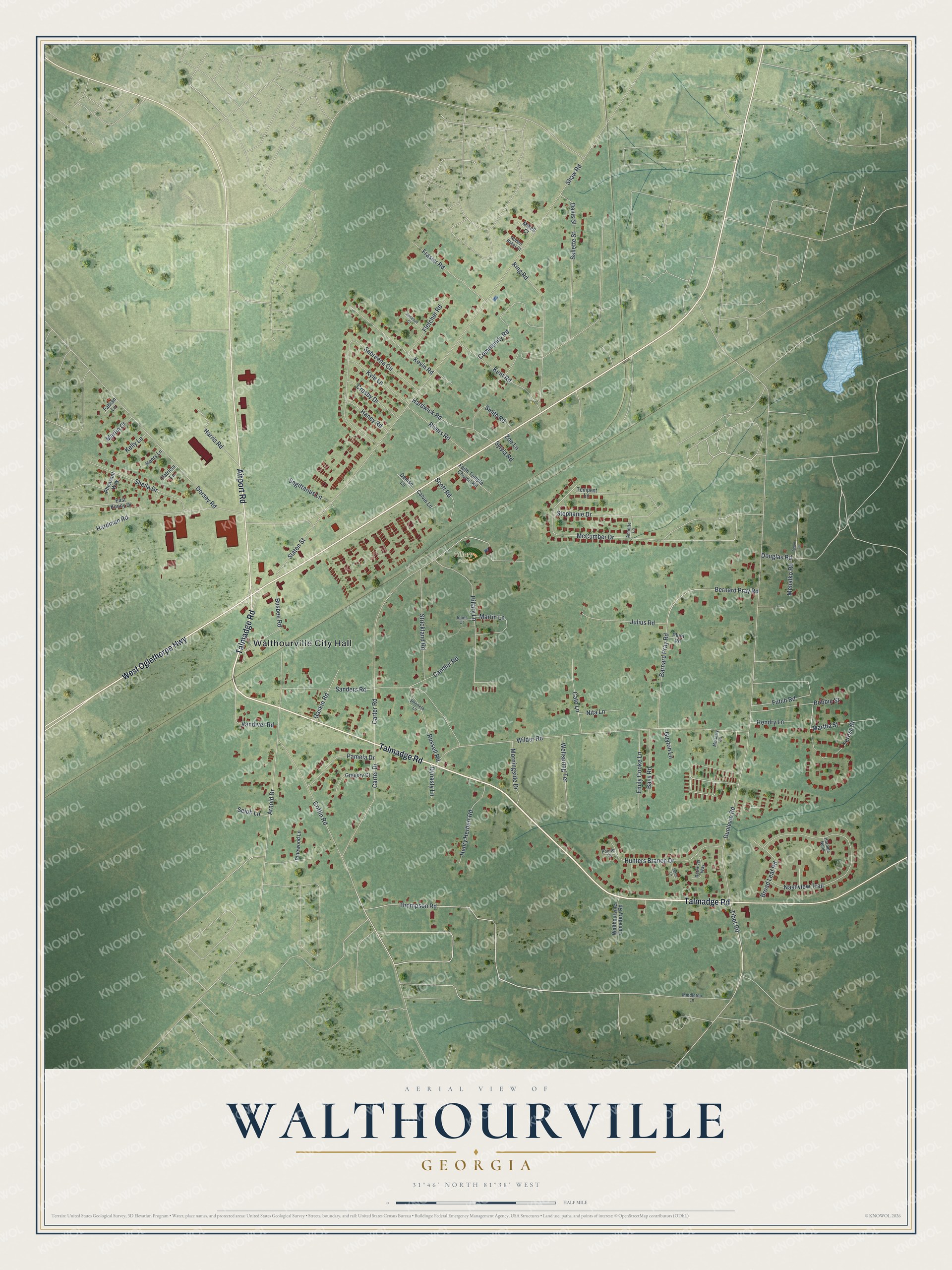
This beautifully detailed map of Walthourville, Georgia was created in 2026 using aerial imagery combined with modern topographical, census, street and landmark data. It’s a one-of-a-kind view of Walthourville that combines accurate data with a vintage aesthetic. The map shows every building in its true location, many of the roads carry their names, and the shaded topographic relief shows the shape of the land.
Explore an aerial view of Walthourville, Georgia
On the map you’ll find Walthourville City Hall and Hillary Park, along with Talmadge Road, Oglethorpe Highway, Airport Road, Thompson Road, and more. If you look closely you can even find your house accurately drawn in its correct location. Zoom in on the preview to look for yours.
Did You Know?
Walthourville was 179 years old before it had a state charter. In 1974 a committee made up only of women took the census and gathered 300 signatures. Governor Jimmy Carter signed the papers. The women were sworn in that April as one of the first all-women town governments in Georgia.
Take a closer look at the Walthourville map
Names on this map
These names are printed on this map.
Places: Walthourville City Hall and Hillary Park.
Streets and roads: Talmadge Road, West Oglethorpe Highway, Airport Road, Thompson Road, Carter Drive, Tibet Road, Bernard Pray Road, Shaw Road, Dunlevie Road, Wilder Road, Carter Road, Barnard Pray Road.
More street names, A to Z
Annette Lane, Arnold Drive, Bass Road, Bobbie Street, Broad Leaf Road, Busbee Road, Calvin Lane, Candler Road, Cato Lane, Community Road, Crosby Drive, Davis Street, Denise Lane, Dorsey Road, Douglas Road, Dynasty Lane, East Kenny Drive, Emily Cooke Lane, Fabian Lane, Faith Temple Church Road, Fletcher Road, Frasier Road, Futch Road, Gaskin Road, Gregory Court, Griffin Road, Guyton Lane, Haney Road, Hardman Road, Hardwick Road, Harolds Nook, Harris Road, Hendry Lane, Henry Herbert Road, Henry Lane, Hillary Lane, Hunters Branch Drive, Jones Court, Julius Road, Kelly Lane, Kent Road, Kevin Road, King Road, Kyle Lane, Martha Street, Martin Court, Martin Lane, McCarty Lane, McCumber Drive, Mehalko Road, Middleton Lane, Mikell Court, Morningside Drive, Nashview Trail, Nita Lane, Pamela Drive, Patricia Lane, Pheasant Way, Phenela Lane, Pinewood Lane, Plum Road, Pointer Court, Retriever Way, Rivers Road, Robert Baker Court, Rosebud Court, Russell Road, Sabreena Circle, Sagittarius Lane, Sallette Street, Sanders Road, Scott Road, Selph Lane, Setter Lane, Sheila Drive, Slaten Street, Smith Road, Stephanie Drive, Strickland Road, Sylvia Road, Tempest Lane, Teresa Street, Tyson Lane, Vandiver Road, Walthourville Cemetery Road, Wellspring Terrace, Zoe Lane.
See it on a wall
The Walthourville map as a framed print. Swipe for more.


This beautifully detailed map of Walthourville makes an attractive addition to your office, library, or den, and it can even be used to teach children the geography and history of the area. It also makes a great gift for anyone who grew up in Walthourville or moved away. When you’re done exploring, click here to get your copy of the Walthourville map.