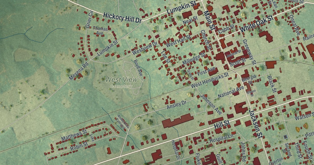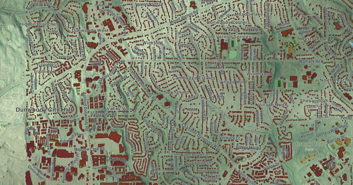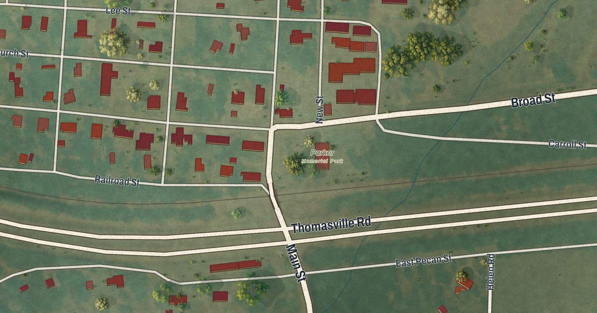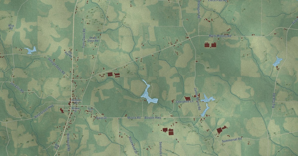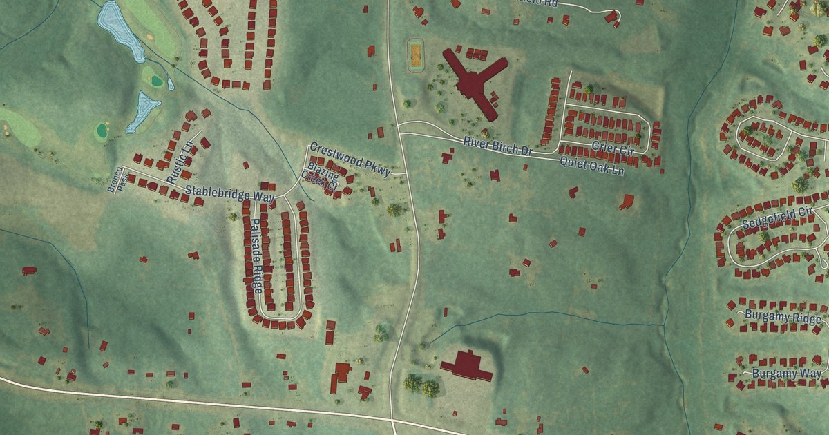
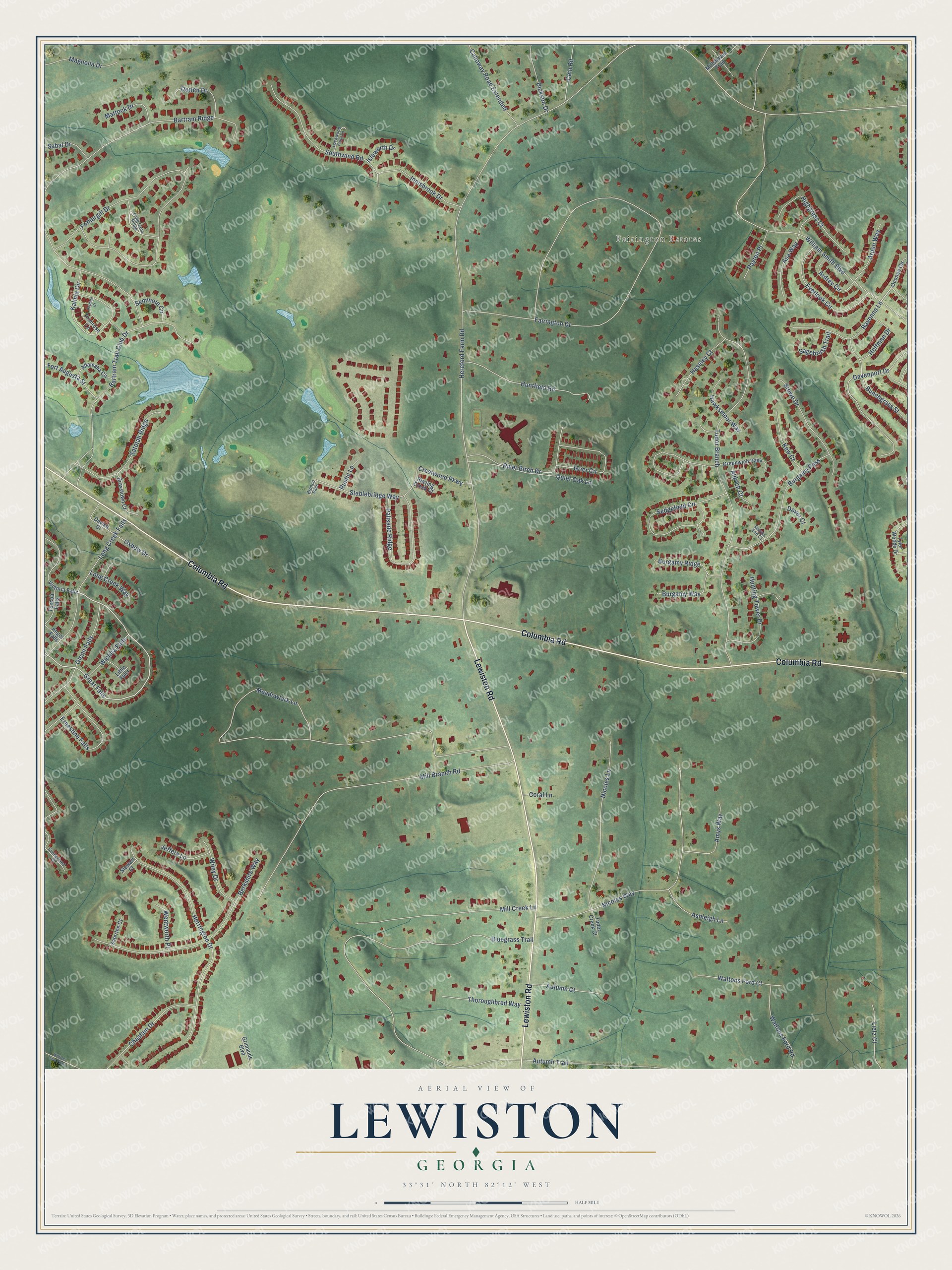
This beautifully detailed map of Lewiston, Georgia was created in 2026 using aerial imagery combined with modern topographical, census, street and landmark data. It’s a one-of-a-kind view of Lewiston that combines accurate data with a vintage aesthetic. The map shows every building in its true location, many of the roads carry their names, and the shaded topographic relief shows the shape of the land.
Explore an aerial view of Lewiston, Georgia
On the map you’ll find Fairington Estates, Great Falls, and Tudor Branch, along with Columbia Road, Lewiston Road, Hereford Farm Road, Fairington Drive, Meadowlark Lane, Bluegrass Trail, Fothergill Drive, Mill Branch Road, William Smith Boulevard, and more. If you look closely you can even find your house accurately drawn in its correct location. Zoom in on the preview to look for yours.
Take a closer look at the Lewiston map
Names on this map
These names are printed on this map.
Places: Fairington Estates.
Streets and roads: Columbia Road, Lewiston Road, Great Falls, Hereford Farm Road, Fairington Drive, Meadowlark Lane, Bluegrass Trail, Tudor Branch, Fothergill Drive, Mill Branch Road, William Smith Boulevard, Nicoles Way.
More street names, A to Z
Aldrich Court, Altamaha Circle, Amys Way, Angel Falls, Arden Way, Ardrey Circle, Asa Way, Ashleigh Lane, Autumn Court, Autumn Trail, Bartram Ridge, Bartram Trail Club Drive, Berkshire Way, Blazing Creek Court, Brasstown Court, Bronco Pass, Bunchgrass Street, Burgamy Pass, Burgamy Ridge, Burgamy Way, Cain Road, Calloway Road Extended, Chastain Drive, Coral Lane, Crestwood Parkway, Darien Drive, Davenport Drive, Devika Drive, Dickson Drive, Dover Court, Ernestine Falls, Everlook Circle, Fort Augusta Street, Glenn Falls, Graves End Court, Greenwich Pass, Grier Circle, Grimaude Boulevard, Haseley Court, Hawksmoor Way, Herrington Drive, Highgrass Court, Hoffman Drive, Huntfield Road, Hunting Tower Drive, Innisbrook Drive, Isleworth Drive, Jeffery Lane, Kalmia Circle, Kew Court, Lietz Court, Little Falls, Lockwood Folly Lane, Long Cane Ridge, Long Creek Falls, Long Creek Way, Magnolia Drive, Mattock Drive, Mill Creek Lane, Millshaven Trail, Nicoles Lane, Oconee Circle, Oxbow Drive, Palisade Ridge, Payten Place, Perdido Court, Primrose Lane, Quiet Oak Lane, Ravenna Lane, River Birch Drive, Rustic Lane, Sabal Drive, Sagebrush Trail, Saterlee Court, Satolah Ridge, Sedgefield Circle, Seminole Circle, Southwind Road, Stablebridge Way, Stewart Court, Stowe Drive, Sunderlund Court, Thoroughbred Way, Toccoa Falls, Tudor Creek Court, Tyler Woods Drive, Victoria Falls, Waltons Ford Court, Waltons Ford Road, Wentworth Place, Wichita Falls, Wiley Drive, William Few Parkway.
See it on a wall
The Lewiston map as a framed print. Swipe for more.


This beautifully detailed map of Lewiston makes an attractive addition to your office, library, or den, and it can even be used to teach children the geography and history of the area. It also makes a great gift for anyone who grew up in Lewiston or moved away. When you’re done exploring, click here to get your copy of the Lewiston map.