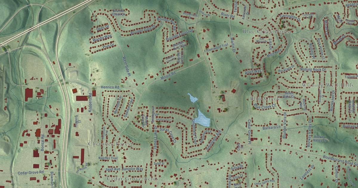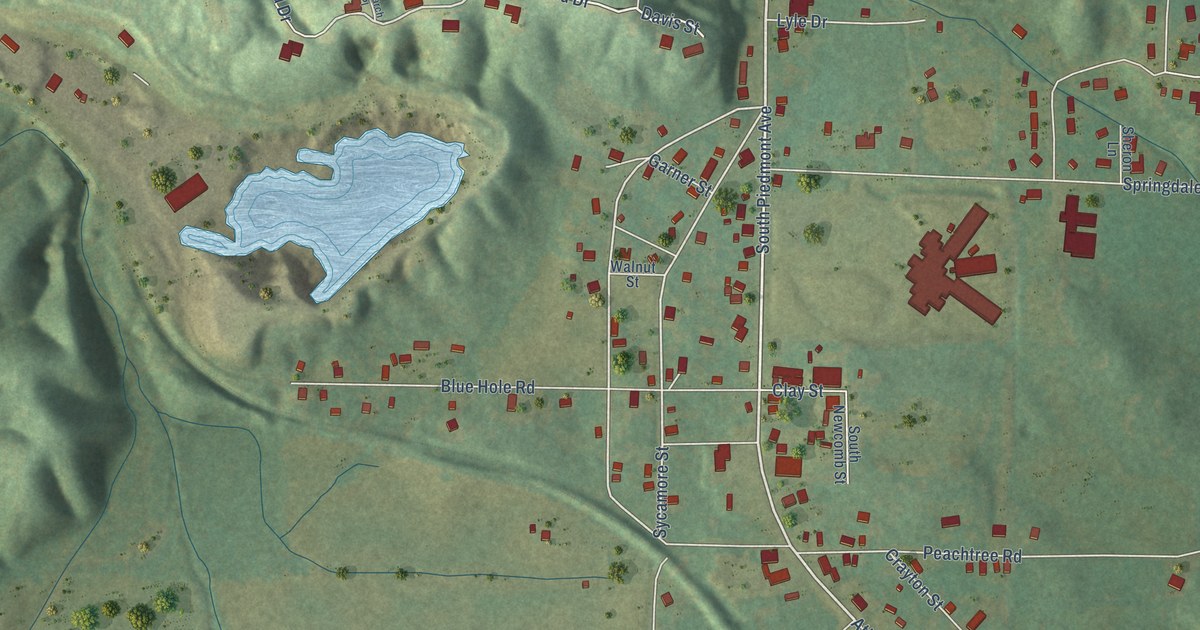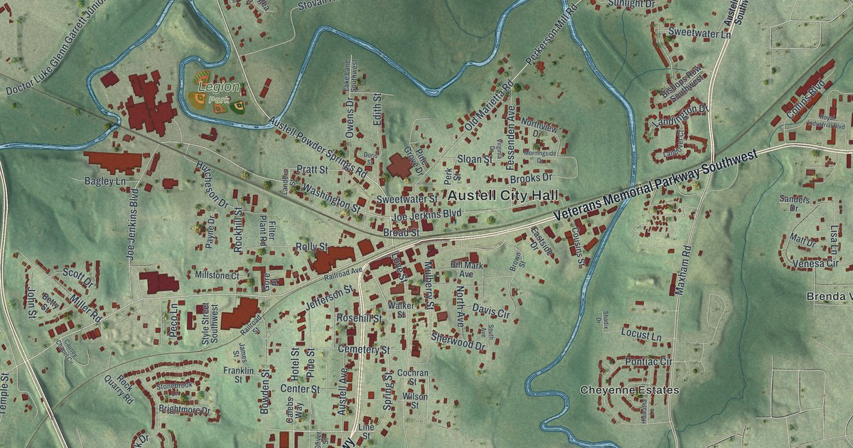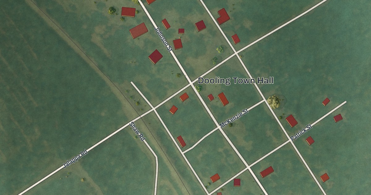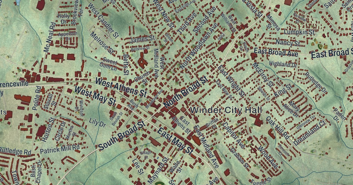
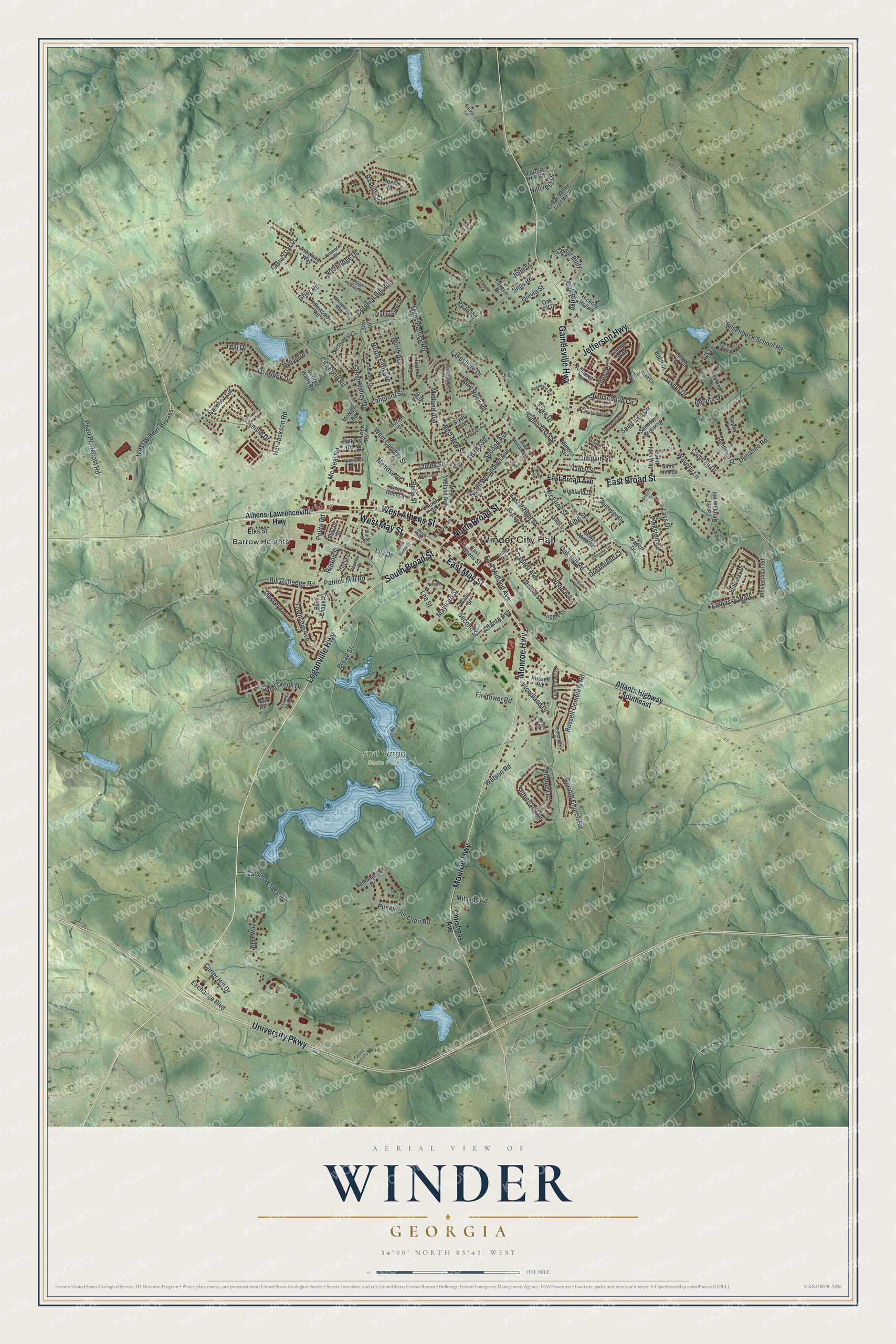
This beautifully detailed map of Winder, Georgia was created in 2026 using aerial imagery combined with modern topographical, census, street and landmark data. It’s a one-of-a-kind view of Winder that combines accurate data with a vintage aesthetic. The map shows every building in its true location, many of the roads carry their names, and the shaded topographic relief shows the shape of the land.
Explore an aerial view of Winder, Georgia
On the map you’ll find Winder City Hall, Barrow Heights, and Fort Yargo State Park, along with Loganville Highway, May Street, Monroe Highway, Gainesville Highway, and more. If you look closely you can even find your house accurately drawn in its correct location. Zoom in on the preview to look for yours.
Did You Know?
Winder grew up around a tavern that advertised itself with an enormous liquor jug. The town was called Jug Tavern until 1893. That year it was incorporated and given its present name. It became the seat of Barrow County, created in 1914. That’s from the 1940 WPA guide to Georgia.
Take a closer look at the Winder map
Names on this map
These names are printed on this map.
Places: Winder City Hall, Fort Yargo State Park and Barrow Heights.
Streets and roads: Loganville Highway, West May Street, East May Street, Monroe Highway, Gainesville Highway, University Parkway, North Broad Street, West Athens Street, South Broad Street, East Broad Street, Jefferson Highway, Broad Street.
More street names, A to Z
Alberta Lane, Alderman Lane, Amherst Drive, Apperson Drive, Arbor Way, Ashwood Drive, Ashwood Way, Athens-Lawrenceville Highway, Atlanta Avenue, Atlanta Highway Southeast, Banff Drive, Baskins Circle, Belaire Drive, Bellview Street, Betts Street, Bill Rutledge Road, Box Circle, Brookview Terrace, Buena Vista Street, Bush Avenue, Bush Chapel Drive, Camden Drive, Capitol Avenue, Carson Wages Road, Carter Hill Drive, Cedar Bluff, Cedar Valley Trail West, Century Oak Drive, Christmas Avenue, Church Street, Circle Drive, City Pond Road, Colonial Hill Road, Cooper Circle, Corinth Church Road, Dianne Drive, Dreamland Court, Dunahoo Road, East Athens Street, East Broad Avenue, East Fifth Avenue, East Midland Avenue, East New Street, East Wright Street, Elks Street, Embassy Drive, Embassy Walk, Emma Drive, Exchange Boulevard, Fairview Court, Fayette Drive, Fifth Avenue, Firetower Road, Forrest Hill Road, George Walls Road, Glenview Terrace, Graham Street, Grayson Drive, Green Street, Green Valley Drive, Grier Road, Griffith Street, Hal Jackson Road, Harrison Lane, Harry McCarty Road, Hickory Hollow, Hidden Court, Highland Drive, Hillcrest Drive, Holly Drive, Holsenbeck School Road, Horton Street, Hosch Circle, Howard Circle, Huntleigh Drive, Ideal Place, Idlewood Road, Iris Lane, James Street, Jasmine Drive, Jasper Drive, John Street, King Street, Lake Drive, Lakeshore Drive, Langford Street, Laurel Lane, Lays Drive, Lee Street, Leyland Drive, Lighthouse Drive, Lily Drive, Lorraine Valley, Lumpkin Street, Magnolia Drive, Mallard Drive, Marion Street, Martha Street, Mary Alice Drive, Massey Lane, Maynard Street, McElroy Street, Mc Neal Road, McNeal Road, Meadowbrook Drive, Melrose Street, Midland Avenue, Miles Patrick Road, Milsaps Road, Mimosa Street, Nancy Street, Natchez Circle, North Avenue, Northcrest Drive, North Fifth Avenue, Northridge Drive, North Woodlawn Avenue, Oak Hill Drive, Oak Hill Road, Oak Ridge, Olevia Street, Overlook Drive, Paden Drive, Patrick Mill Road, Pearl Pentecost Road, Picklesimon Road, Pine Rock Road, Pine Street, Pine Valley Road, Pinkston Court, Polite Road, Punkin Junction Road, Regan Drive, Resource Parkway, Russell Cemetery Road, Russell Road, Rutledge Drive, Ryan Lane, Ryan Road, Saint Germaine Place, Saint Ives Circle, Saint Ives Court, Saint Ives Crossing, Saint Ives Way, Scrooch Court, Searchlight Drive, Second Avenue, Second Street, Shenandoah Circle, Shenandoah Court, Shenandoah Drive, Shields Street, Sims Road, Sixth Avenue, South Beulah Street, Stovall Street, Sunningdale Drive, Sutherland Drive, Sweet Gum Lane, Teal Drive, Third Avenue, Township Avenue, Triumph Way, Tuggle Street, Turtle Creek Drive, Valleyview Drive, Village Court, Wade Street, Watson Road, Waverly Lane, West Candler Street, West Midland Avenue, West New Street, West Williams Street, West Winder Bypass, Whispering Way, Williamsburg Way, Windsor Drive, Wood Avenue, Woodland Drive, Woodlawn Avenue.
See it on a wall
The Winder map as a framed print. Swipe for more.


This beautifully detailed map of Winder makes an attractive addition to your office, library, or den, and it can even be used to teach children the geography and history of the area. It also makes a great gift for anyone with Winder roots. When you’re done exploring, click here to get your copy of the Winder map.