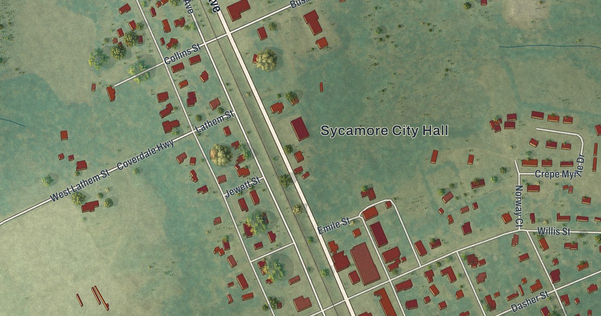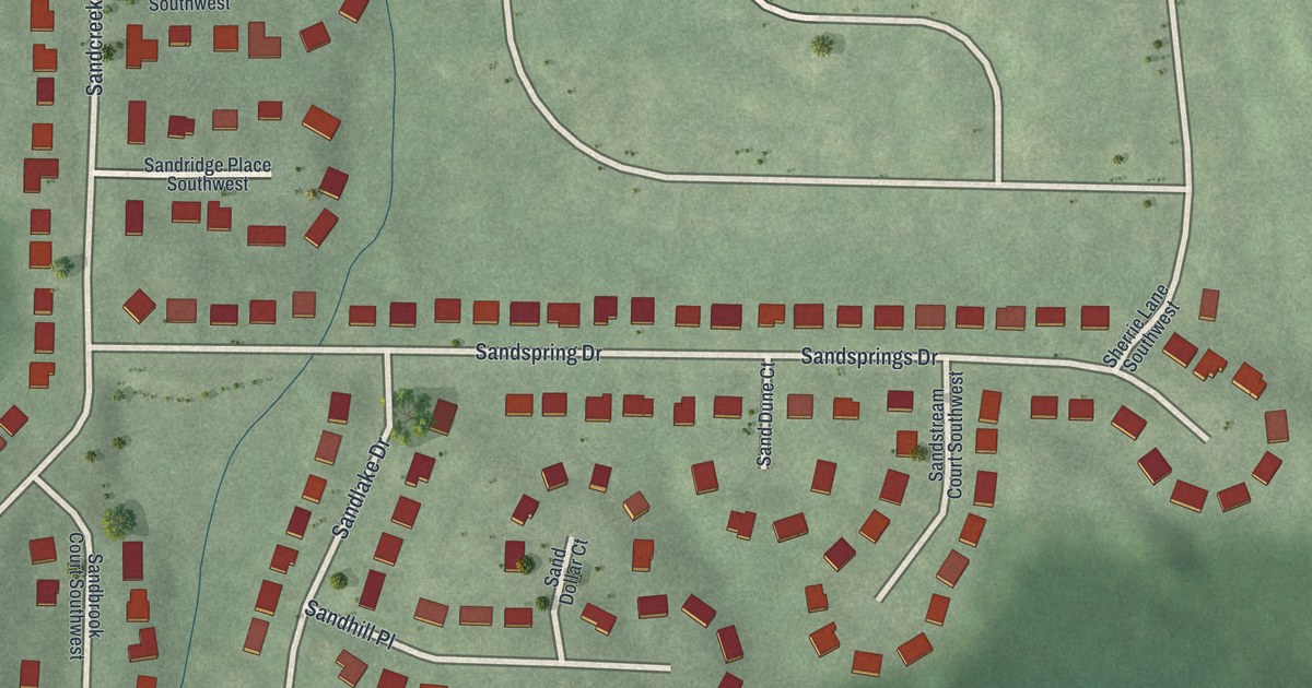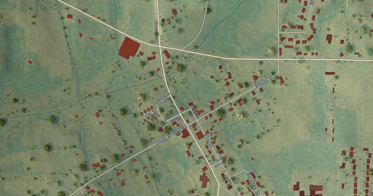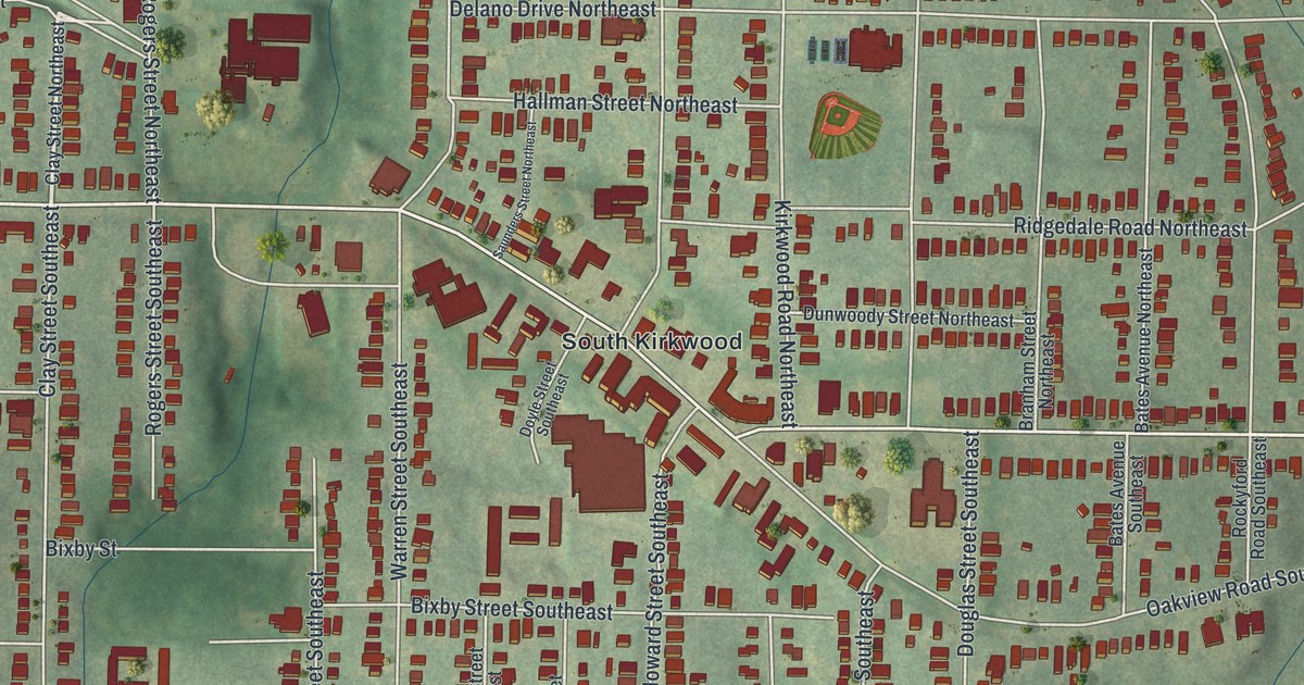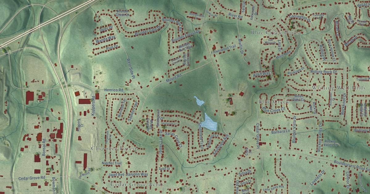
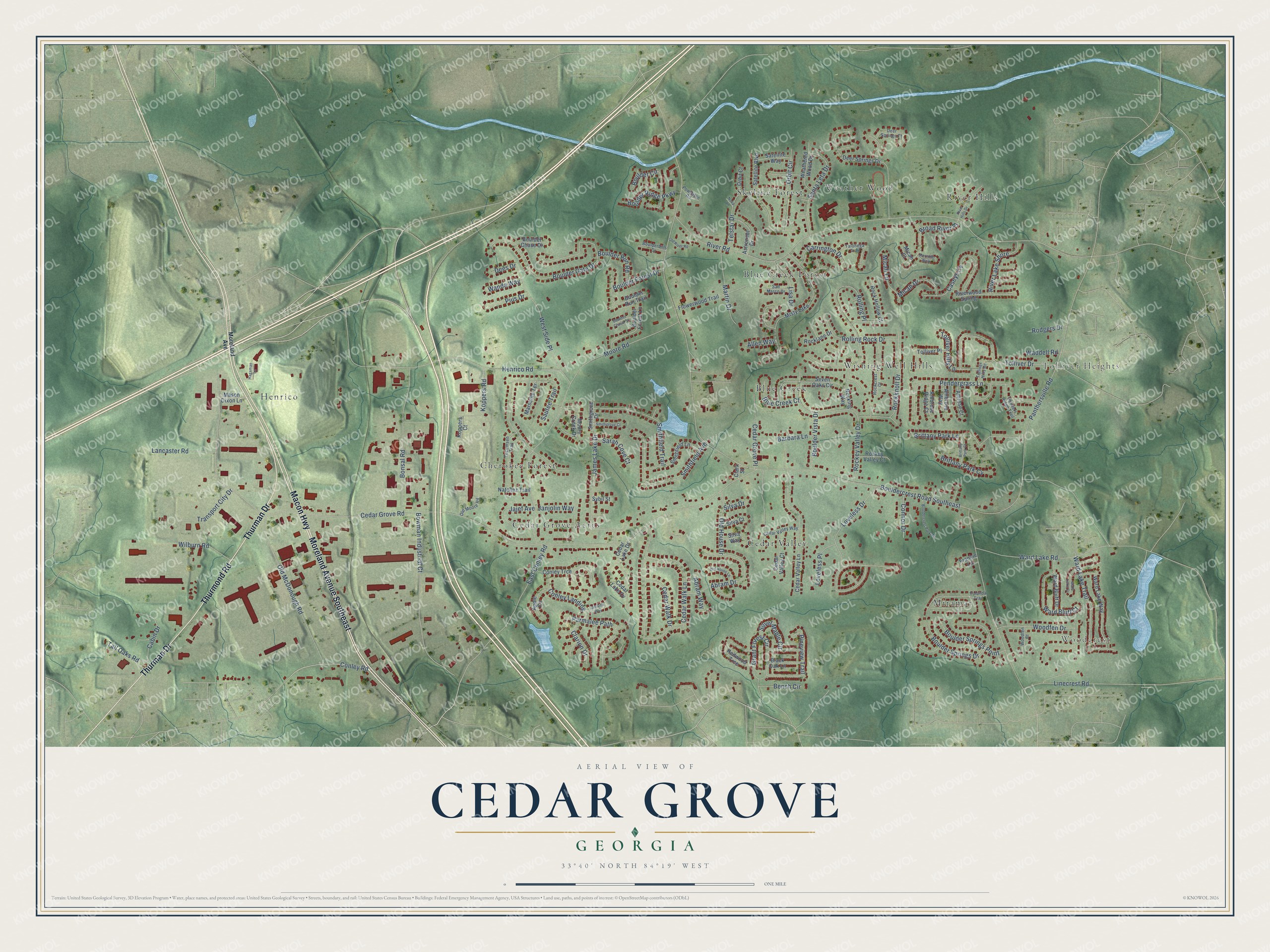
This beautifully detailed map of Cedar Grove, Georgia was created in 2026 using aerial imagery combined with modern topographical, census, street and landmark data. It’s a one-of-a-kind view of Cedar Grove that combines accurate data with a vintage aesthetic. The map shows every building in its true location, many of the roads carry their names, and the shaded topographic relief shows the shape of the land.
Explore an aerial view of Cedar Grove, Georgia
On the map you’ll find Woodcrest, Tolliver Heights, Henrico, Blue Creek, Cedar Grove Acres, Skyline Forest, Cedar Valley, River Hills, Wishing Well Hills, Blue Creek Forest, Miramar, Cherokee Forest, and more. If you look closely you can even find your house accurately drawn in its correct location. Zoom in on the preview to look for yours.
Did You Know?
From Internet Archive: "The scores show not the work of the Cedar Grove School, but the results of the conditions in the small schools before the consolidation was effected."
Cedar Grove is a community in DeKalb County.
Take a closer look at the Cedar Grove map
Names on this map
These names are printed on this map.
Places: Woodcrest, Tolliver Heights, Henrico, Blue Creek, Cedar Grove Acres, Skyline Forest, Cedar Valley, River Hills, Wishing Well Hills, Blue Creek Forest, Miramar, Cherokee Forest, Weather Wood and Misty Lake.
Streets and roads: Moreland Avenue Southeast, Macon Highway, Thurmond Road, Thurman Drive, East Conley Road, Conley Road, Bouldercrest Road Southeast, Cedar Grove Road, River Road, Old McDonough Road, Henrico Road, Moore Road.
More street names, A to Z
Abram Drive, Abram Way, Allen Way, Ambrose Ridge Court, Ambrose Way, Amrose Court, Apple Circle, Astronaut Drive, Barbara Lane, Bench Circle, Black Oak Lane, Blue Creek Court, Bonsal Road, Boulder Chase Court, Boulder Chase Drive, Boulder Circle, Bouldercrest Park Road, Boulder Forest Drive, Boulder Forest Lane, Boulder Gate Drive, Boulderhills Drive, Boulder Ridge Parkway, Boulder Run Road, Boulder Run Trail, Boulder Springs Drive, Boulder Springs Point, Boulder Vista Drive, Bowman Industrial Court, Brittany Park Court, Brittany Park Cv, Brittany Park Lane, Broad River Place, Cabin Drive, Carrington Drive, Caseys Cv, Cedar Grove Place, Cedar Lake Cv, Cedar Lake Drive, Cedar Valley Court, Cedar Valley Lane, Cedar Valley Way, Cedar Walk Drive, Cedar Walk Lane, Clarion Drive, Clark Street, Conley Landing, Conley Trce, Connor Drive, Deer Springs Court, Deer Springs Drive, Dees Drive, Flowerwood Trail, Frankie Lane, Grant Forest Circle, Hagaman Lane, Jajef Avenue, Jamaitis Way, James Lake Drive, Janjolin Way, Koppers Court, Koppers Road, Lancaster Road, Linecrest Road, Lisa Drive, Loveless Drive, Loveless Place, Marseille Terrace, Martin Drive, Mason Dixon Lane, Meredith Walk, Micah Court, Micah Drive, Micah Lane, Moore Creek Drive, Moreland Avenue, Natchez Trail, Nova Lane, Old House Drive, Old House Lane, Old Moore Road, Old River Road, Orbit Circle, Orbit Court, Panthersville Road, Parmalee Path, Pendergrass Lane, Penders Ridge Trail, Pineview Trail, Pius Drive, Powhatan Road, Redwood Trce, River Hills Drive, River Lake Shore, Riverwood Spring, Rockcrest Court, Rockey Valley Court, Rockey Valley Drive, Rock Hollow Court, Rocking Way, Rockknoll Drive, Rocklane Drive, Rodgers Drive, Rolling Place, Rolling Rock Drive, San Marco Drive, Santa Leta Drive, Sarah Cove Court, Satellite Boulevard, Satellite Way, Sautee Trail, Seven Oaks Circle, Silva Court, Silva Drive, Silva Way, Silver Maple Circle, Smithfield Avenue, Smithfield Lane, Smithfield Trail, Smithgrove Court, Smithgrove Drive, Sybil Street, Tall Oaks Road, Talonega Trail, Tecumseh Trail, Telstar Drive, Tolliver Drive, Tolliver Hills Drive, Tolliver Hills Lane, Tolliver Place, Transport City Drive, Waddell Road, Wanda Way, Ward Bluff Court, Ward Bluff Drive, Ward Lake Court, Ward Lake Road, Ward Lake Trail, Ward Lake Way, Weathered Wood Drive, West Side Place, Wilburn Road, Woodfen Court, Woodfen Drive, Yolanda Trail.
See it on a wall
The Cedar Grove map as a framed print. Swipe for more.


This beautifully detailed map of Cedar Grove makes an attractive addition to your office, library, or den, and it can even be used to teach children the geography and history of the area. It also makes a great gift for someone who left Cedar Grove and still calls it home. When you’re done exploring, click here to get your copy of the Cedar Grove map.