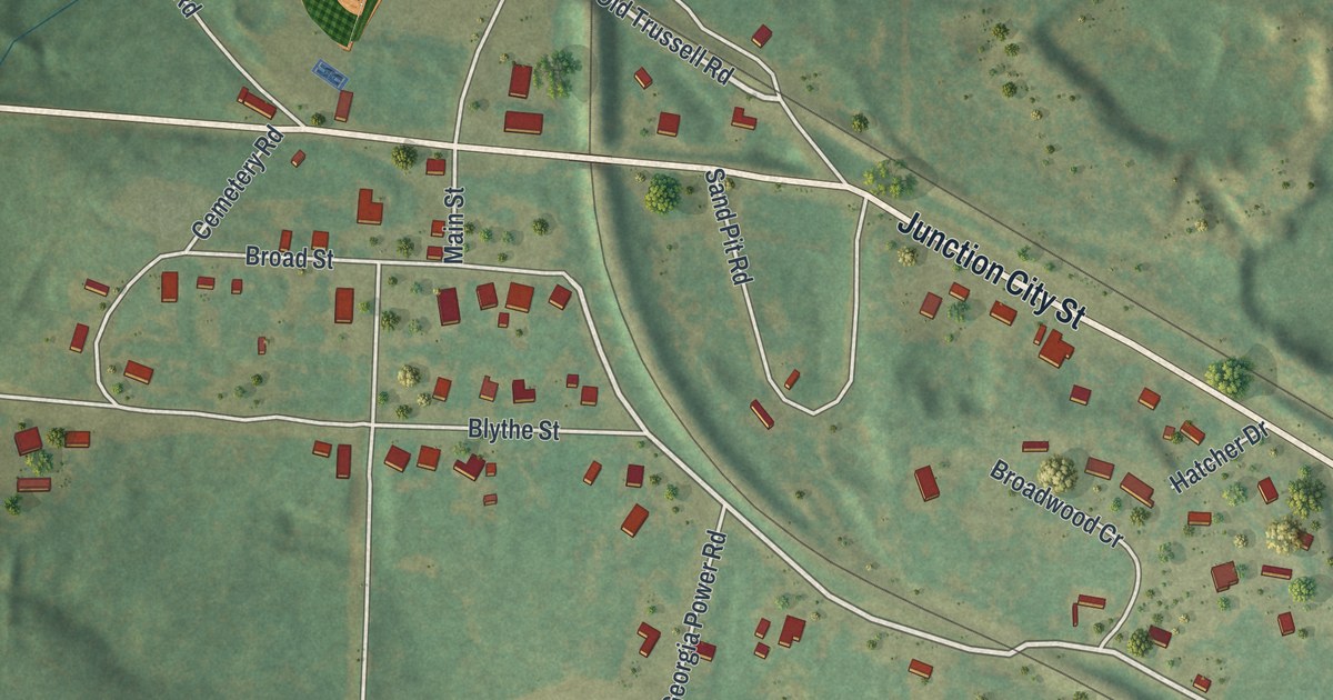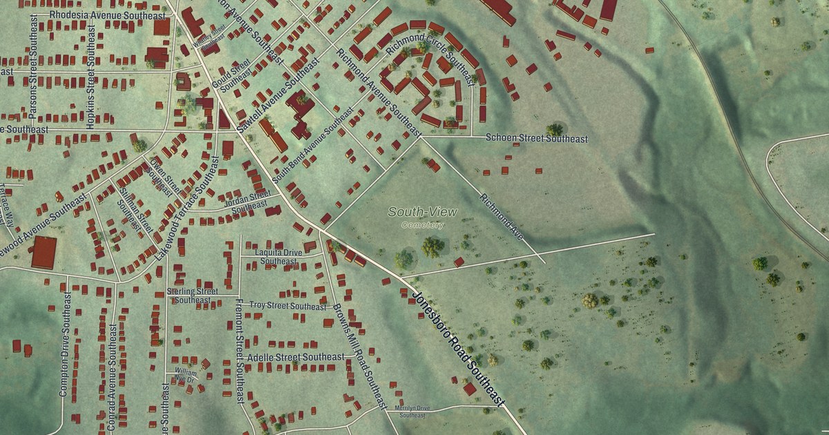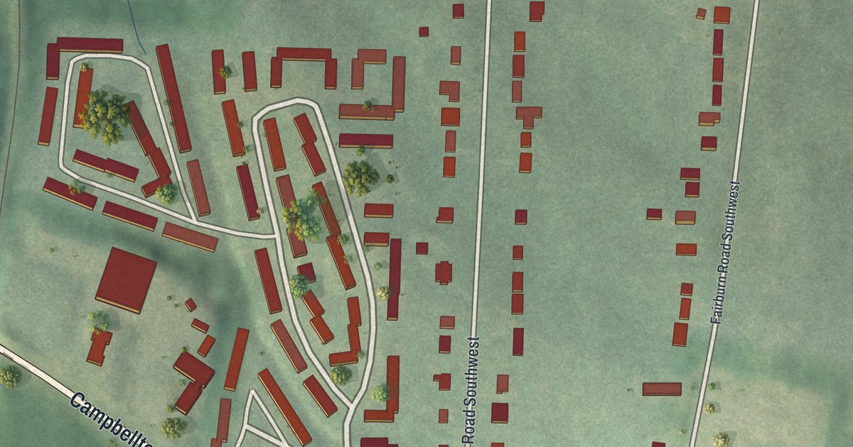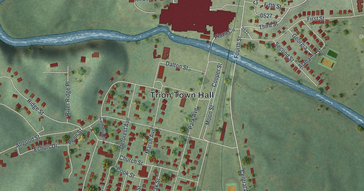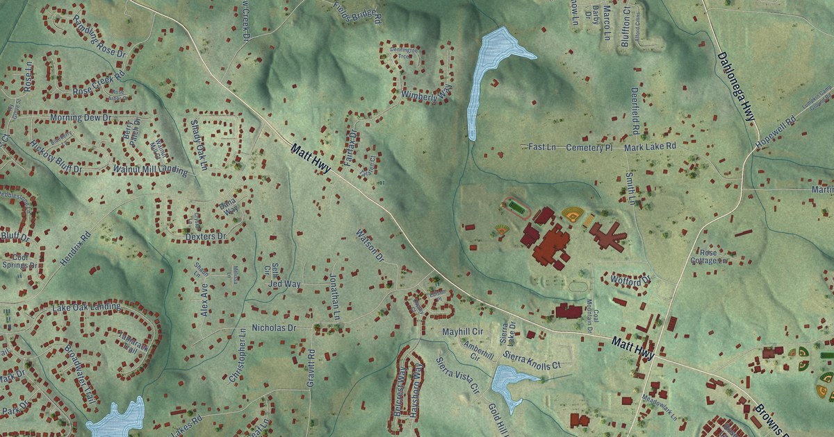
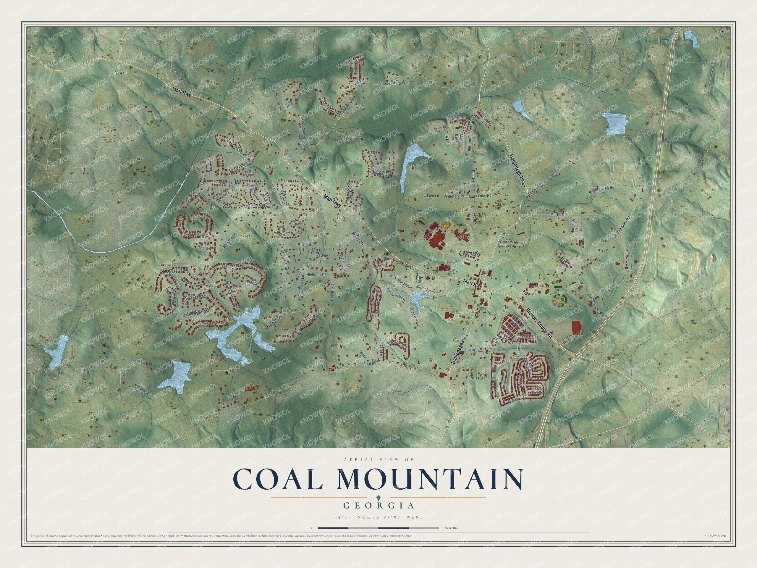
This beautifully detailed map of Coal Mountain, Georgia was created in 2026 using aerial imagery combined with modern topographical, census, street and landmark data. It’s a one-of-a-kind view of Coal Mountain that combines accurate data with a vintage aesthetic. The map shows every building in its true location, many of the roads carry their names, and the shaded topographic relief shows the shape of the land.
Explore an aerial view of Coal Mountain, Georgia
On the map you’ll find Matt and Lake Oak Landing, along with Matt Highway, Dahlonega Highway, Browns Bridge Road, Hendrix Road, Twin Lakes Road, Settingdown Road, Hubert Martin Road, Martin Road, Gravitt Road, Spot Road, and more. If you look closely you can even find your house accurately drawn in its correct location. Zoom in on the preview to look for yours.
Take a closer look at the Coal Mountain map
Names on this map
These names are printed on this map.
Places: Matt.
Streets and roads: Matt Highway, Dahlonega Highway, Browns Bridge Road, Hendrix Road, Twin Lakes Road, Settingdown Road, Hubert Martin Road, Martin Road, Gravitt Road, Spot Road, Lake Oak Landing, Rialto Way.
More street names, A to Z
Alden Place, Alex Avenue, Alford Cmns, Ambassador Way, Amberhill Circle, Arch Pass, Ashlee Lane, Atwater Trail, Bambi Trail, Belcrest Way, Berry Patch Drive, Blackburn Drive, Blueberry Lane, Bluffton Court, Boulder Bluff Drive, Bridgetowne Drive, Broadwater Trail, Burruss Trail, Cascade Trail, Catalpa Court, Cemetery Place, Chandler Drive, Chaney Court, Christopher Lane, Church Road, Coal Mountain Drive, Cool Springs Drive, Copper Leaf Lane, Cordova Lane, Country Way Road, Crystal Lane, Cutler Donahoe Way, Dana Way, Darby Drive, Deerfield Road, Dennington Trce, Dexters Drive, Edison Place, Elmwood Trail, Fairfax Drive, Fast Lane, Fields Bridge Road, Fourth Rail Lane, Gold Hill Lane, Hamby Hollow Lane, Haysboro Way, Hickory Bluff Drive, Hopewell Road, Humber Court, Huron Drive, Ivy Grove Court, Ivy Grove Street, Jed Way, Jonathan Lane, Lakeaires Drive, Laura Lane, Lumpkin Camp Ground Road, Marco Lane, Mark Lake Road, Mayhill Circle, McCoy Circle, Meadow Creek Drive, Meadowlark Lane, Meadow Walk Court, Melissa Lane, Minnow Lane, Morning Dew Drive, New Salem Court, Nicholas Drive, Osprey Court, Overlook Park Drive, Pebblestone Lane, Pilgrim Valley Drive, Pointe Vecchio Circle, Pont du Gard Drive, Poplar Woods Drive, Ramdling Rose Drive, Rose Arbor Court, Rose Cottage Lane, Rose Creek Road, Rose Lane, Roseman Landing, Roseman Trail, Seth Circle, Shady Oak Lane, Shaun Lane, Sierra Knolls Court, Sierra Lake Drive, Sierra Vista Circle, Smith Lane, Talaten Court, Tamarack Trail, Walnut Mill Court, Walnut Mill Landing, Water Mark Drive, Watson Drive, Wimberly Way, Wofford Drive, Woodruff Trce.
See it on a wall
The Coal Mountain map as a framed print. Swipe for more.


This beautifully detailed map of Coal Mountain makes an attractive addition to your office, library, or den, and it can even be used to teach children the geography and history of the area. It also makes a great gift for anyone with Coal Mountain roots. When you’re done exploring, click here to get your copy of the Coal Mountain map.