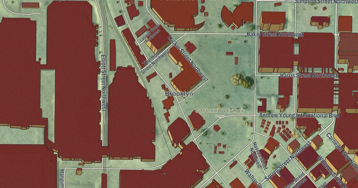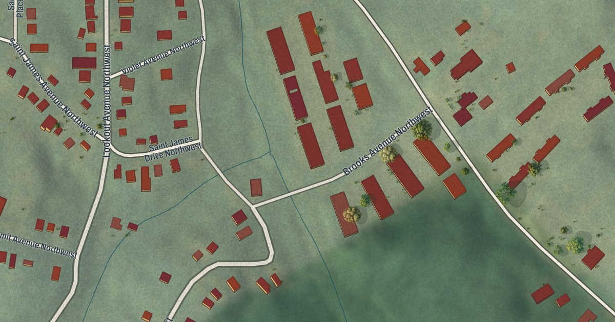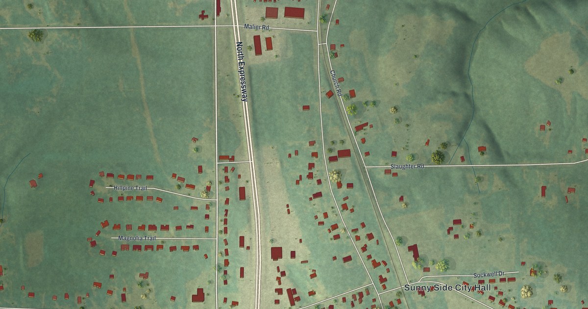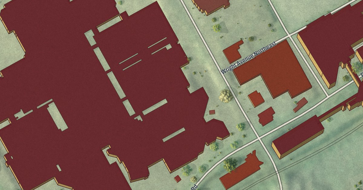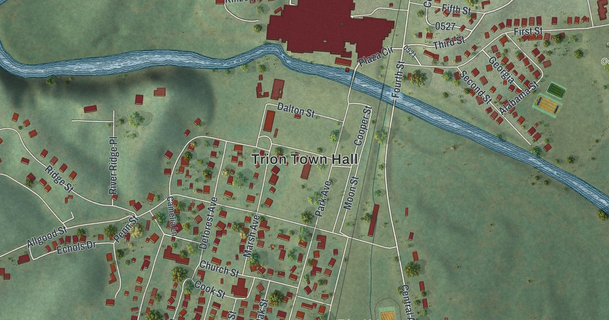
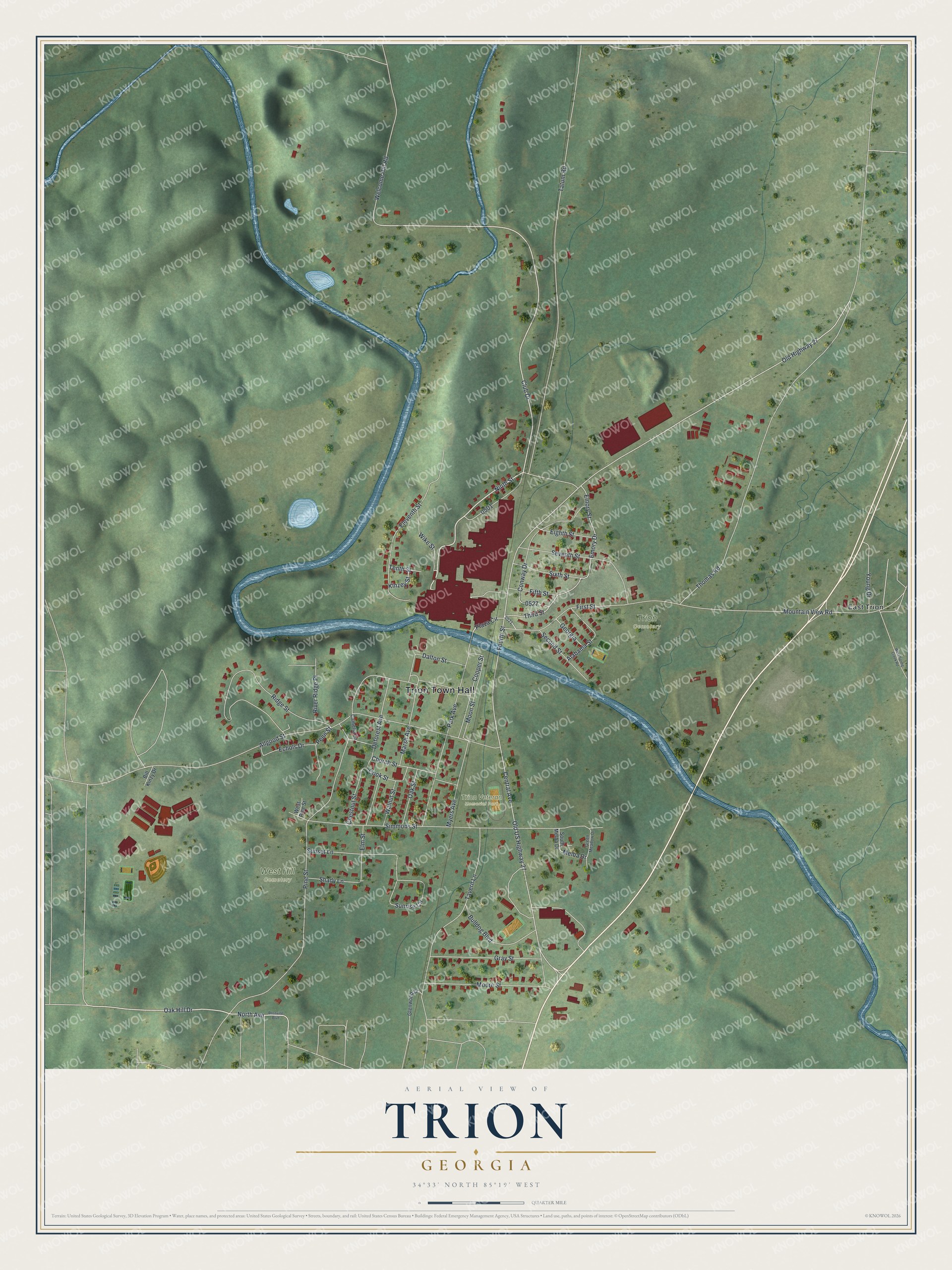
This beautifully detailed map of Trion, Georgia was created in 2026 using aerial imagery combined with modern topographical, census, street and landmark data. It’s a one-of-a-kind view of Trion that combines accurate data with a vintage aesthetic. The map shows every building in its true location, many of the roads carry their names, and the shaded topographic relief shows the shape of the land.
Explore an aerial view of Trion, Georgia
On the map you’ll find Trion Town Hall, East Trion, Trion Veteran Memorial Park, and West Hill Cemetery, along with Ninth Street, Oak Hill Drive, Club Drive, North Avenue, and more. If you look closely you can even find your house accurately drawn in its correct location. Zoom in on the preview to look for yours.
Did You Know?
Trion is named for a trio of men, Allgood, Marsh and Briers, who started its cotton factory. The mill made it through the Civil War unharmed. Fire destroyed it in 1875. In 1876 the Trion Manufacturing Company built a new mill and kept growing. That’s from the 1901 Georgia Historical and Industrial.
Take a closer look at the Trion map
Names on this map
These names are printed on this map.
Places: Trion Town Hall, Trion Veteran Memorial Park, West Hill Cemetery, Trion Cemetery and East Trion.
Streets and roads: Ninth Street, Oak Hill Drive, Club Drive, North Avenue, Third Street, Fourth Street, Pine Street, Tatum Road, Allgood Street, Central Avenue, Old US Highway 27, Simmons Street.
More street names, A to Z
Alabama Street, Bill Kinzy Drive, Bulldog Boulevard, Camelia Lane, Chestnut Street, Church Street, Conway Drive, Cook Street, Cooper Street, Dalton Street, Deforest Avenue, Echols Drive, Eighth Street, Eleventh Street, Elm Street, Emory Drive, Emory Street, Fifth Street, First Street, Georgia, Glenwood Drive, Gray Street, Green Meadow Drive, Kinzey Street, Marsh Avenue, Melba Drive, Moon Street, Moore Street, Mountain View Road, Myers Avenue, Oak Street, Old Highway 27, Park Avenue, Penn Street, Plaza Circle, Ridge Street, River Ridge Place, Rossville Boulevard, Second Street, Seventh Street, Shady Lane, Sixth Street, South Melba Drive, Sunrise Circle, Sunset Lane, Tavern Lane, Tenth Street, Thomas Road, Walnut Street, Welcome Hill Road, West Pine Street, West Spring Creek Road, Wike Street, Young Drive.
See it on a wall
The Trion map as a framed print. Swipe for more.


This beautifully detailed map of Trion makes an attractive addition to your office, library, or den, and it can even be used to teach children the geography and history of the area. It also makes a great gift for anyone with Trion roots. When you’re done exploring, click here to get your copy of the Trion map.