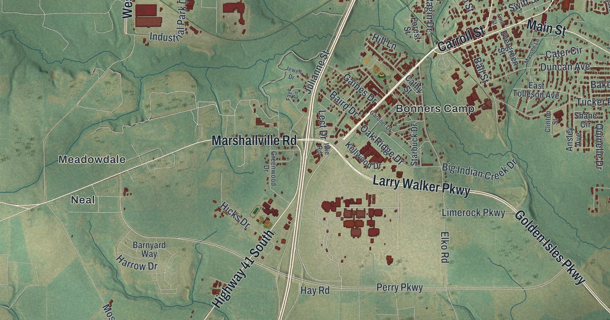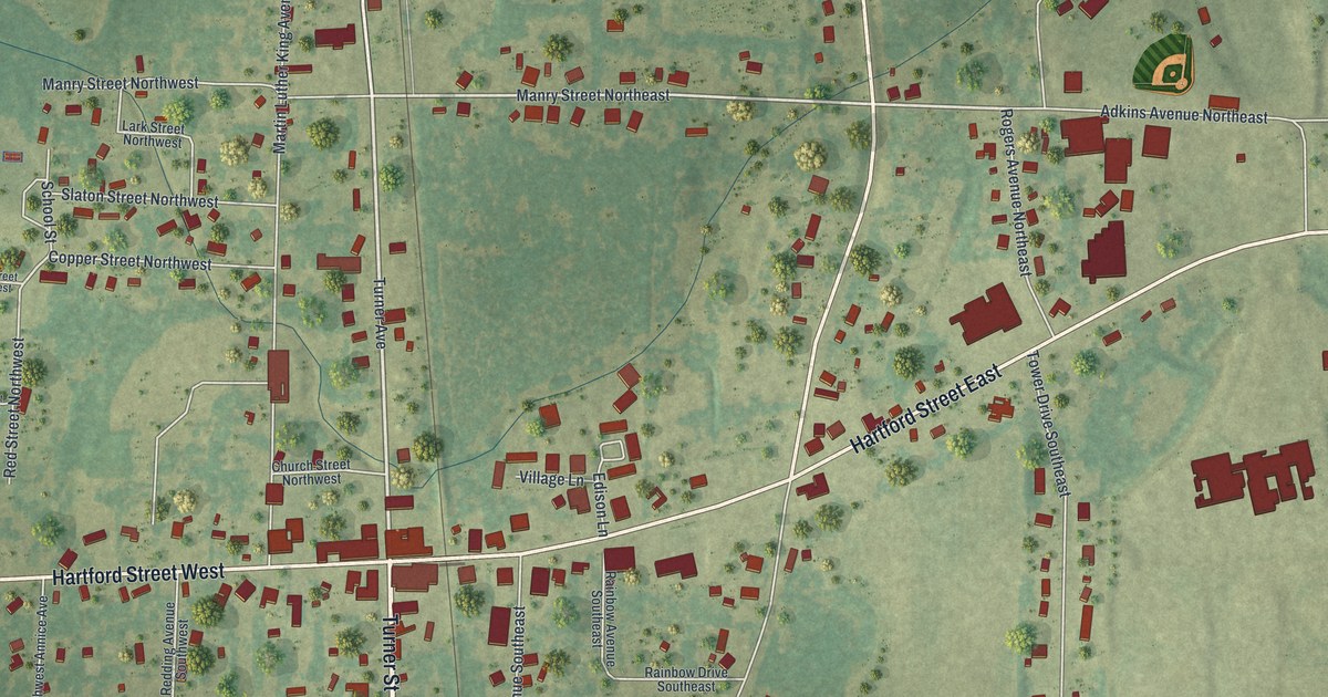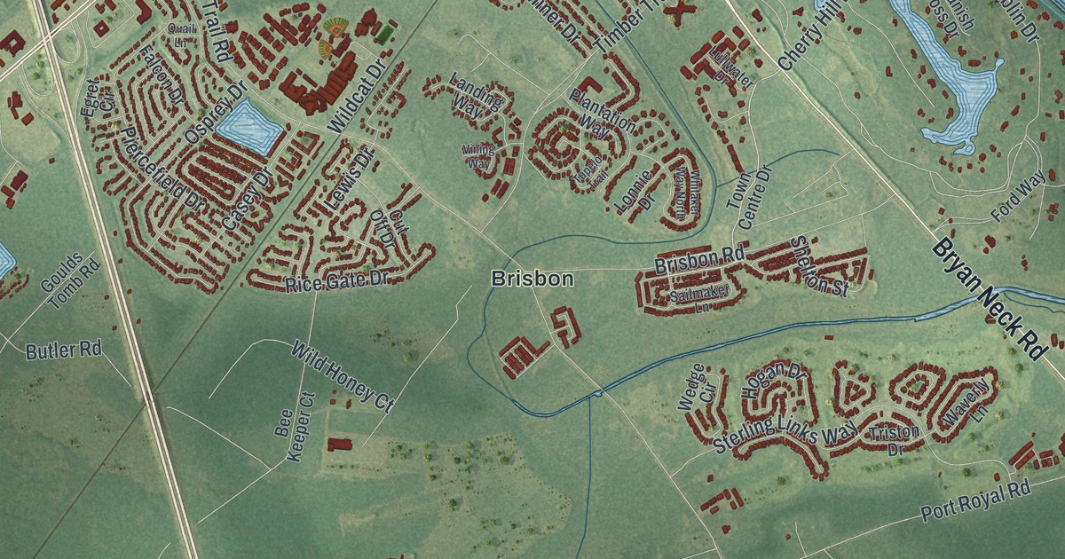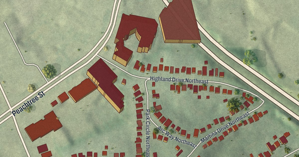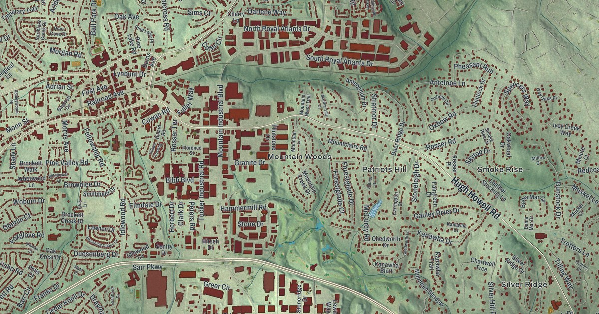
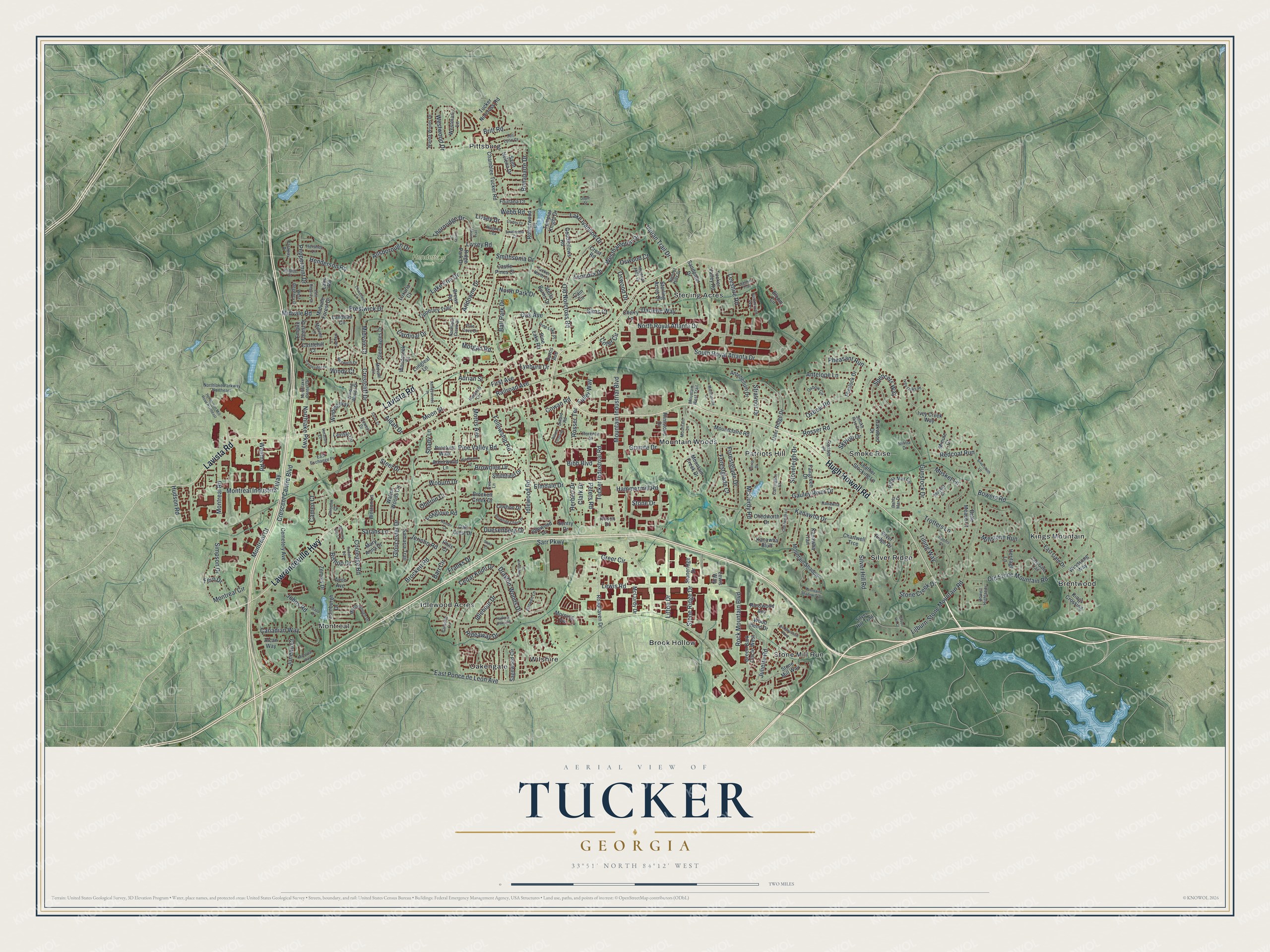
This beautifully detailed map of Tucker, Georgia was created in 2026 using aerial imagery combined with modern topographical, census, street and landmark data. It’s a one-of-a-kind view of Tucker that combines accurate data with a vintage aesthetic. The map shows every building in its true location, many of the roads carry their names, and the shaded topographic relief shows the shape of the land.
Explore an aerial view of Tucker, Georgia
On the map you’ll find Brentwood, Brook Hollow, Idlewood Acres, Kings Mountain, Montreal, and Henderson Park, along with Hugh Howell Road, Lawrenceville Highway, Lavista Road, Bowers Road, Indian Trail Drive, and more. If you look closely you can even find your house accurately drawn in its correct location. Zoom in on the preview to look for yours.
Did You Know?
Tucker’s first train arrived on Sunday, April 24, 1892. It had a baggage car and two coaches holding 150 riders. Within two months, Alpheus G. Chewning was named the first postmaster. Tucker sits 1117 feet above sea level, the highest spot on the rail line from Atlanta to Richmond.
Take a closer look at the Tucker map
Names on this map
These names are printed on this map.
Places: Henderson Park, Brentwood, Brook Hollow, Idlewood Acres, Kings Mountain, Montreal, Mountain Woods, Oakengate, Patriots Hill, Pittsburg, Silver Ridge, Smoke Rise, Sterling Acres, Stone Mill Run and Wilshire.
Streets and roads: Hugh Howell Road, Lawrenceville Highway, Lavista Road, Bowers Road, Indian Trail Drive, East Ponce de Leon Avenue, Mountain Industrial Boulevard, Idlewood Road, Brockett Road, Silver Hill Road, Montreal Road, Henderson Road.
More street names, A to Z
Adrian Street, Alcan Way, Aldah Drive, Allsborough Drive, Antebellum Drive, Antelope Lane, Arborwood Lane, Arldowne Drive, Ashleywoods Drive, Avis Lane, Avon Avenue, Bahia Mar Circle, Bahia Mar Drive, Ball Park Drive, Bancroft Circle, Barr Circle, Belle Meade Court, Bibb Boulevard, Bishop Drive, Bloom Circle, Bonaparte Drive, Brantford Drive, Britt Road, Brockett Creek Drive, Brockett Walk, Browning Chase Drive, Brownlee Drive, Brown Road, Burns Avenue, Cain Circle, Camelot Lane, Cameo Court, Canadian Way, Caraway Drive, Cardinal Drive, Carrington Court, Castlehill Court, Castle Pines Court, Castleridge Drive, Cedar Knoll Drive, Cemetery Avenue, Chamblee Tucker Road, Chartwell Trce, Chedworth Drive, Chedworth Lane, Cherry Lane, Chisolm Court, Churchwell Lane, Clark Drive, Clydes Court, Cofer Circle, Cooledge Road, Cowan Road, Crescent Centre Boulevard, Crestcliff Drive, Crest Road, Darlene Way, Darwen Lane, Deer Ridge Drive, Dillard Crossing, Dillard Road, Doyle Street, Drayton Woods Drive, Duesenberg Drive, East Exchange Place, East Gate Drive, East Gate Trail, East Regency Drive, Edinburgh Drive, Elmdale Drive, Empire Forest Drive, Fairgreen Drive, Fellowship Road, Fern Drive, First Avenue, Flintlock Drive, Flintstone Drive, Florence Street, Flowers Drive, Fontana Court, Forestglade Court, Forestglade Drive, Foxglove Road, Franks Drive, Fuller Way, Gauley River Drive, Gleneagles Drive, Gloucester Drive, Goodfellows Road, Granite Drive, Green Bark Circle West, Greer Circle, Gunstock Drive, Hammermill Road, Harbour Oaks Road, Henderson Mill Road Northeast, Herbert Drive, Heritage Lane, Hershey Lane, Hideaway Drive, Hirsch Drive, Howell Highlands, Hudson Road, Hughes Lea, Idlehour Drive, Idlewood Lane, Imperial Hills Drive, Ivey Creek Way, Ivey Oaks Place, Jericho Road, Jeri Lynn Court, Johns Road, Juliette Road, Juneau Court, Kanawha Bluff, Kanawha Court, Kanawha Drive, Kanawha Trail, Kings Crossing, Lake Erin Drive, Lake Ivanhoe Drive, Lake Road, Landeau Circle, Lavista Circle, Lawhon Drive, Leather Stocking Lane, Leeshire Road, Leeshire Trail, Leonora Drive, Lewis Road, Lewis Way, Lilburn-Stone Mountain Road, Litton Drive, Livsey Court, Livsey Drive, Livsey Road, Livsey Trail, Longleaf Lane, Luxuria Court, Lynburn Drive, Marlborough Drive, Marthasville Court, Mary Anna Drive, McCurdy Drive, McCurdy Road, Midvale Circle, Midvale Court, Midvale Forest Drive, Midvale Lane, Midvale Road, Militia Drive, Millstone Run, Minute Court, Montreal Circle, Montreal Court, Montreal Industrial Way, Montreal Way, Moon Street, Morgan Road, Morning Star Lane, Morning Vw, Morris Avenue, Mountain Creek Drive, Mountain Lane, Mountain Shadow, Mountain Shadow Trail, Mountain West Trail, Mountclaire Road, Musket Court, Musket Lane, Northlake Center Drive, Northlake Creek Drive, Northlake Parkway, Northlake Parkway Northeast, North Park Drive, North Royal Atlanta Drive, Norwich Drive, Oak Avenue, Oak Crest Drive, Oakwood Drive, Oberlin Court, Old Norcross Road, Old Stone Mountain Road, Oswood Court, Oswood Drive, Oxbow Circle, Oxbow Road, Palace Court, Patriot Drive, Peppermint Drive, Peters Road, Pheasant Run, Phils Court, Pine Cove Drive, Pine Lake Place, Pine Lake Road, Pine Valley Road, Prestwick Drive, Railroad Avenue, Redcoat Run, Reevley Lane, Ridge Park Drive, Roadhaven Drive, Rock Mountain Boulevard, Roman Court, Ronald Road, Rosser Place, Rosser Road, Rosser Terrace, Rotherwood Drive, Russwood Avenue, Sagewood Circle, Saint Helena Drive, Samaria Trail, Sandpiper Drive, Sarahs Lane, Saren Court, Sarr Parkway, Sentry Drive, Shady Lane, Silver Hill Court, Silver Hill Trail, Silver Ridge Drive, Silversmith Lane, Simpson Drive, Sims Court, Skytop Drive, Smithfield Drive, Smithsonia Court, Smithsonia Drive, Smoke Rise Drive, South Royal Atlanta Drive, Spencers Way, Stapp Drive, Steel Drive, Stella Burns Drive, Sterling Acres Drive, Stone Creek Drive, Stone Drive, Stoneleigh Drive, Stone Mill Way, Stone Ridge Drive, Stoneridge Drive, Stratmor Drive, Stutz Court, Summerwalk Parkway, Summit Hills Drive, Templar Knight Drive, Thornridge Drive, Tilling Way, Tipperary Trail, Tree Mountain Parkway, Trotters Court, Trotters Lane, Tucker Industrial Road, Tucker Norcross Road, Tucker North Court, Tucker Valley Road, Vistadale Court, Walton Woods Circle, Wanda Woods Drive, Webb Road, Weems Road, Westhampton Drive, Westmart Lane, Weston Lane, West Regency Drive, Westwood Drive, Wildflower Lane, Winding Way, Winding Woods Drive, Windsong Way, Windy Court, Woburn Drive, Wood Bend Drive, Woodcreek Court, Zemory Drive.
See it on a wall
The Tucker map as a framed print. Swipe for more.


This beautifully detailed map of Tucker makes an attractive addition to your office, library, or den, and it can even be used to teach children the geography and history of the area. It also makes a great gift for anyone who grew up in Tucker or moved away. When you’re done exploring, click here to get your copy of the Tucker map.