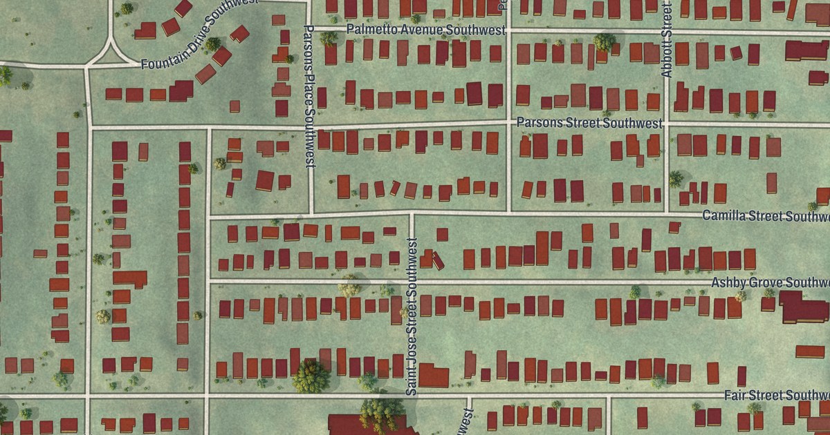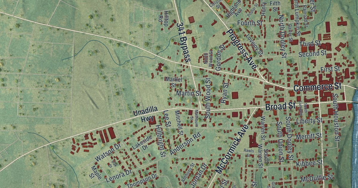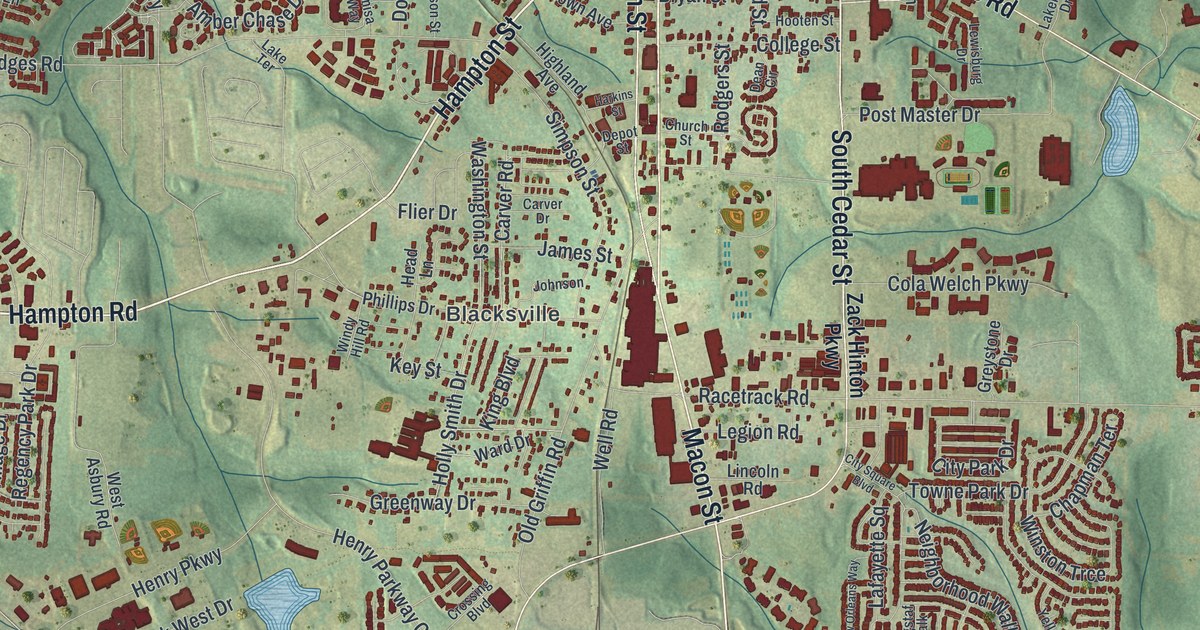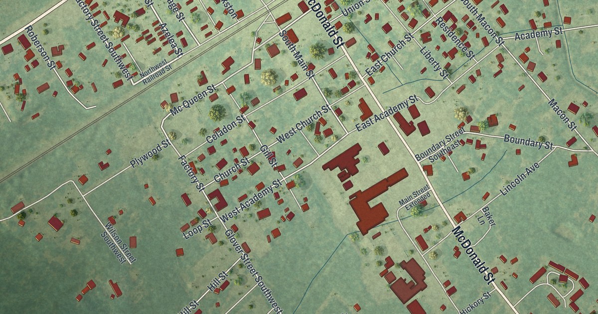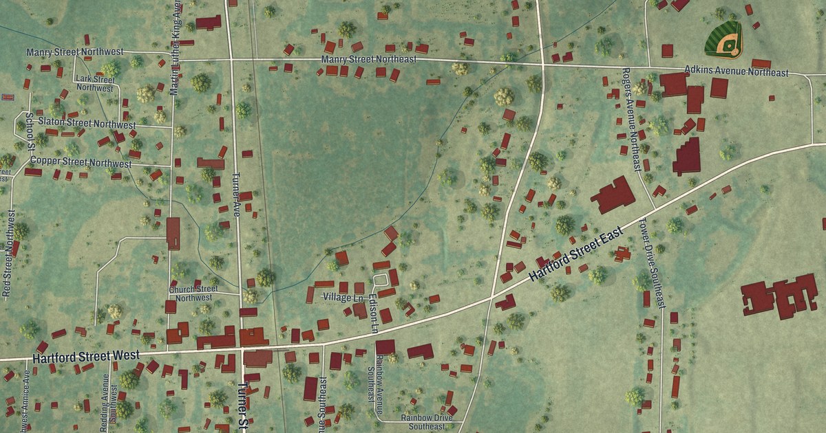
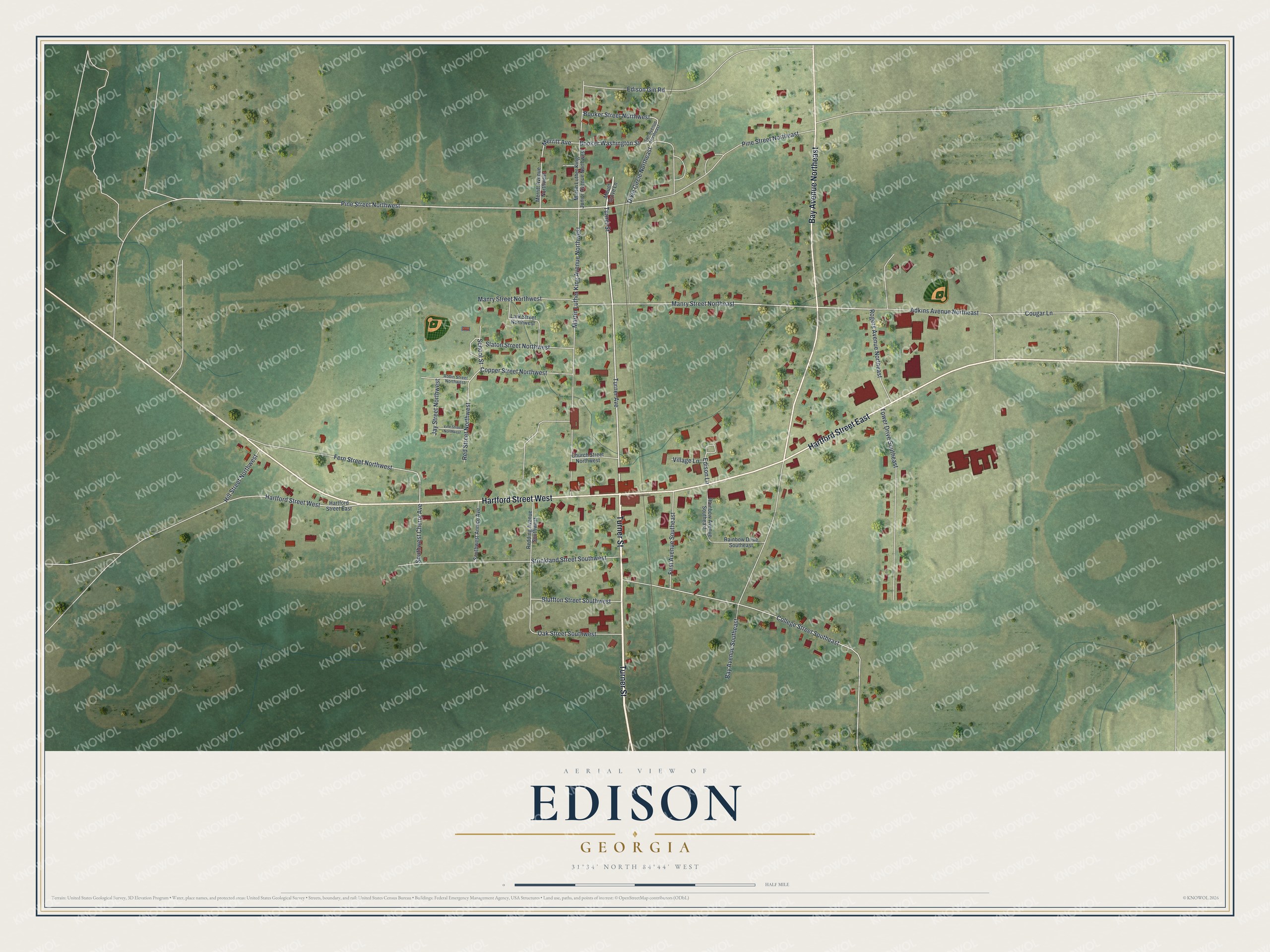
This beautifully detailed map of Edison, Georgia was created in 2026 using aerial imagery combined with modern topographical, census, street and landmark data. It’s a one-of-a-kind view of Edison that combines accurate data with a vintage aesthetic. The map shows every building in its true location, many of the roads carry their names, and the shaded topographic relief shows the shape of the land.
Explore an aerial view of Edison, Georgia
On the map you’ll find Turner Street, Hartford Street, Bay Avenue, Turner Avenue, Pine Street, and more. If you look closely you can even find your house accurately drawn in its correct location. Zoom in on the preview to look for yours.
Did You Know?
Edison was named after Thomas Edison, the famous American inventor who lived from 1847 to 1931. The Georgia General Assembly made it the Town of Edison in 1902. Its old commercial district is now listed on the National Register of Historic Places.
Take a closer look at the Edison map
Names on this map
These names are printed on this map.
Streets and roads: Turner Street, Hartford Street East, Hartford Street West, Bay Avenue Northeast, Turner Avenue, Pine Street Northwest, Manry Street Northeast, Merritt Avenue, Fern Street Northwest, College Street Southeast, Martin Luther King Avenue Northwest, Pine Street Northeast.
More street names, A to Z
Adkins Avenue Northeast, Bay Avenue Southeast, Bluffton Street Southwest, Booker Street Northwest, Booker Washington Street, Church Street Northwest, Copper Street Northwest, Cougar Lane, Dixie Circle Northeast, Edison Gin Road, Edison Lane, First Avenue Southeast, Hill Street Northwest, Jay Street Northwest, Lark Street Northwest, Manry Street Northwest, Martin Luther King Junior Avenue Northwest, Merritt Avenue Northwest, Mount Grove Lane, Oak Street Southwest, Rainbow Avenue Southeast, Rainbow Drive Southeast, Redding Avenue Southwest, Red Street Northwest, Robin Street Northwest, Rogers Avenue Northeast, San Avenue Northeast, School Street, Slaton Street Northwest, Southwest Annice Avenue, Southwest Cherry Avenue, Strickland Street Southwest, Tower Drive Southeast, Village Lane, Vine Street Northwest.
See it on a wall
The Edison map as a framed print. Swipe for more.


This beautifully detailed map of Edison makes an attractive addition to your office, library, or den, and it can even be used to teach children the geography and history of the area. It also makes a great gift for someone who left Edison and still calls it home. When you’re done exploring, click here to get your copy of the Edison map.