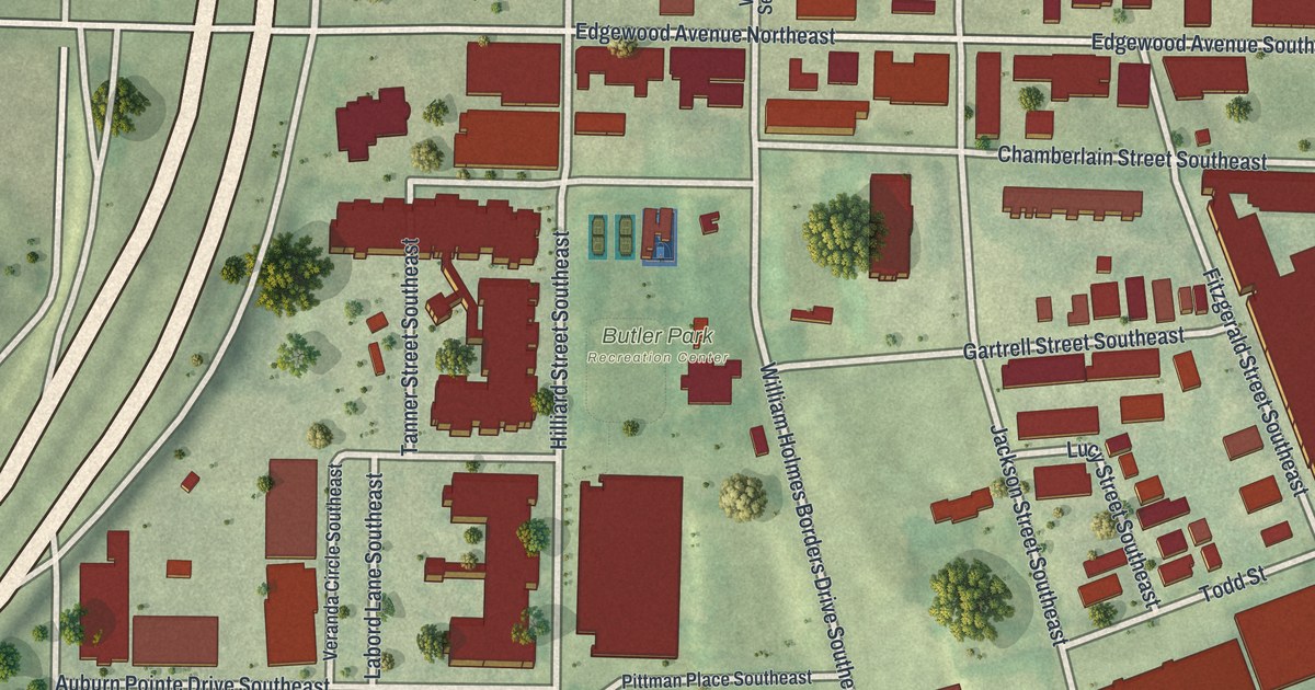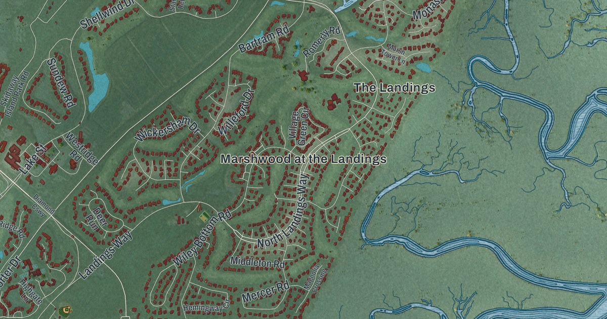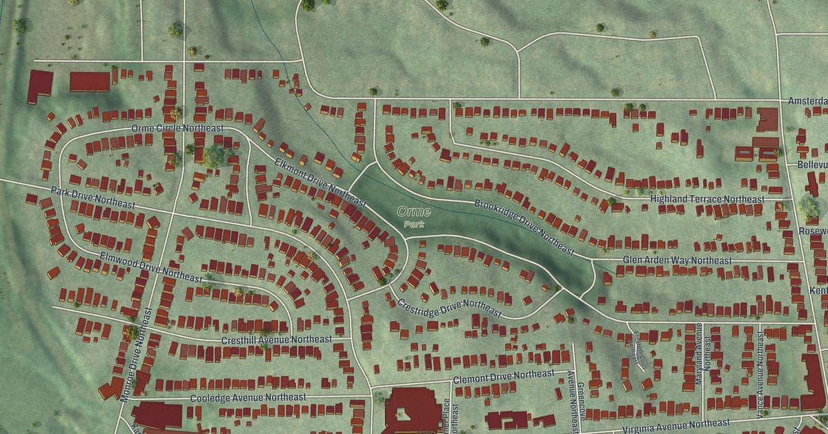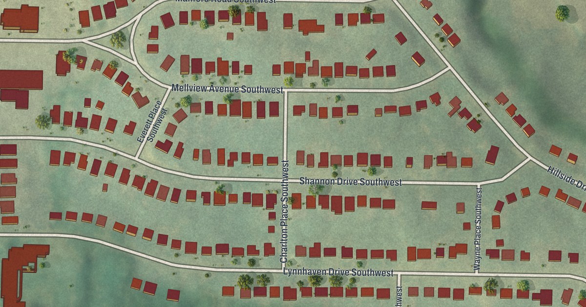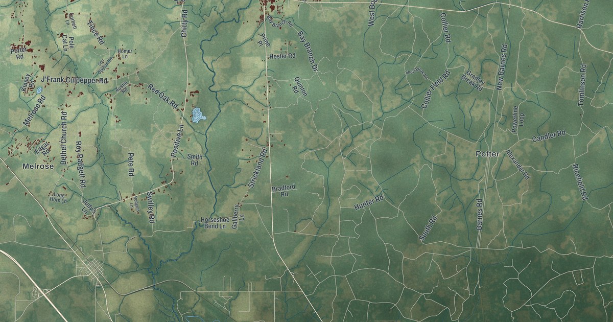
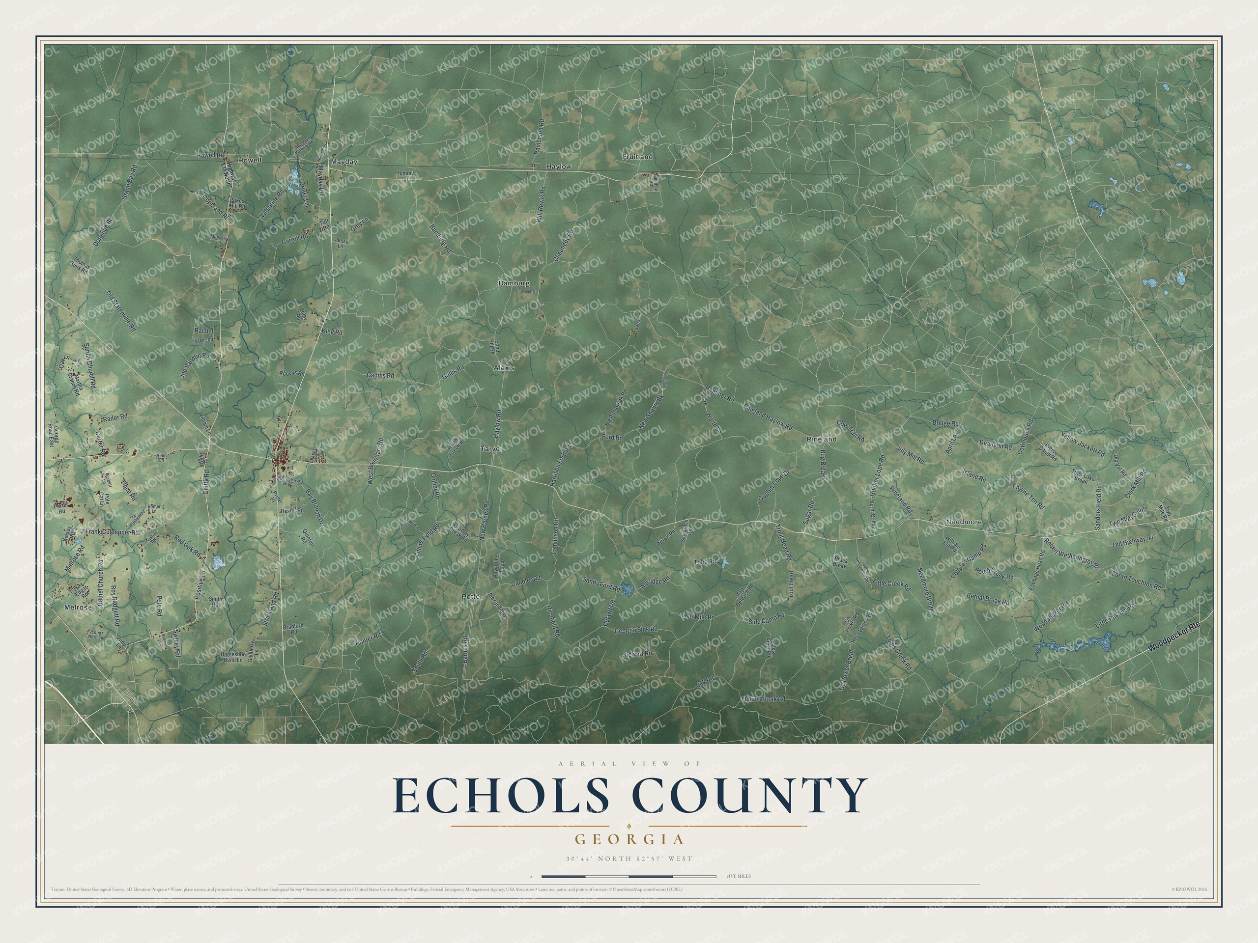
This beautifully detailed map of Echols County, Georgia was created in 2026 using aerial imagery combined with modern topographical, census, street and landmark data. It’s a one-of-a-kind view of Echols County that combines accurate data with a vintage aesthetic. The map shows every building in its true location, many of the roads carry their names, and the shaded topographic relief shows the shape of the land.
Explore an aerial view of Echols County, Georgia
On the map you’ll find Woodpecker Rte, New Shanty Bk, Needmore, Alexis, Bamburg, Fruitland, and Haylow, along with Bamburg Road, Gopher Lope Road, Boundary Road, and more. If you look closely you can even find your house accurately drawn in its correct location. Zoom in on the preview to look for yours.
Did You Know?
Georgia lawmakers created Echols County on December 13, 1858, from pieces of Lowndes and Clinch counties. It was named in honor of Robert Milner Echols. Statenville became the county seat in 1859. Today Echols and Webster are the only Georgia counties with no incorporated towns at all.
Take a closer look at the Echols County map
Names on this map
These names are printed on this map.
Places: Needmore, Alexis, Bamburg, Fruitland, Haylow, Howell, Mayday, Melrose, Pineland, Potter and Tarver.
Streets and roads: Woodpecker Route, Bamburg Road, Gopher Lope Road, West Boundary Road, New Shanty Bk, Flaline Break Road, Gaddis Road, Engine Ten Road, Peoples Camp Road, Four Mile Road, Bay Branch Drive, Robert Wetherington Road.
More street names, A to Z
Aldridge Road, Alexander Road, Allen Lane, April Lane, Austin Road, Barnes Road, Bay Branch Road, Bennett Road, Bethal Break Road, Bethel Church Road, Big Arm Break Road, Brack Break, Bradford Road, Bridge Road, Brown Road, Bug Break, Burnt Bridge, C-18, C17 Road, Cabbage Head Road, Candler Road, Carroll Road, Carter Road, Charles Circle, Chauncey Road, Chitty Road, Clark Mill Road, Collier Field Road, Collier Road, Copeland Road, Corbett Lane, Cowhouse Road, Cow Trail Road, Cut Off Road, Deadend Road, Dip Vat Road, Donahue Road, Edgar Road, Ellis Lane, Eugene Road, Fales Steel Road, Ford Road, Gallberry Lane, Gallis Road, Ga Power Break, Ga Power Road, George Road East, Georgia Sink Road, Gopher Lope Drive, Gradley Break Road, Grand Bay Road, Grey Lane, Griner Lane, Harrison Ford Road, Haylow Road, Hendley Road, Hester Road, High Creek Road, Highway 135 North, Homer Lane, Horseshoe Bend Lane, Hoss Lanier Road, Howell Road, Hunter Road, Island Road, J'Frank Culpepper Road, Jack Henderson Road, Jean Circle, Jesse Lane, Joe Sandlin Road, Joes Lane, Judy's Lane, July Mill Road, King Road, Kinsey Road, Lees Place, Little Creek Road, Little Pasture Road, Long Horn Lane, Magnolia Lane, Martha Branch Road, Mayday Road, Mayday Withers Road, Melrose Road, Needmore Break, New Barnes Road, New Shanty Road, Norsworthy Lane, Oak Lane, Old Highway 94, Old Statenville Road, Perch Creek Road, Pete Road, Pierce Camp Road, Pineland Haylow Road, Pineland Road, Pole Cat Lane, Porter Road, Positive Lane, Powerline Loop, Prine Place, Quinton Road, Rachel, Rader Road, Raulerson Road, Red Oak Road, Register Road, Ricefield Road, Roberts Road, Rodgers Lane, Roy Padgett Road, Ruby Road, Sanders Field Road, Sand Hill Road, Sandy Ford Road, Sarah Touchton Road, Sardis Church Road, Sawarass Road, Short Break Road, Side Camp Road, Sikes Hill Road, Smith Road, Son Clayton Road, South Road, Stewart Road, Strickland Road, Sugar Road, Swilley Road, Tap Deloach Road, Thomas Sims Road, Tiger Lake Break, Tince Road, Tobe Road, Tomlinson Road, Tommy Lane, Toms Creek Road, Trout Head, Trout Head Road, Tutt Road, Two Mile Cutoff, Two Mile Road, Valentine Road, William Lane, William Lot Road, Will Rewis Road, Worth Lane, Yellow Jackett Road.
See it on a wall
The Echols County map as a framed print. Swipe for more.


This beautifully detailed map of Echols County makes an attractive addition to your office, library, or den, and it can even be used to teach children the geography and history of the area. It also makes a great gift for anyone who grew up in Echols County or moved away. When you’re done exploring, click here to get your copy of the Echols County map.