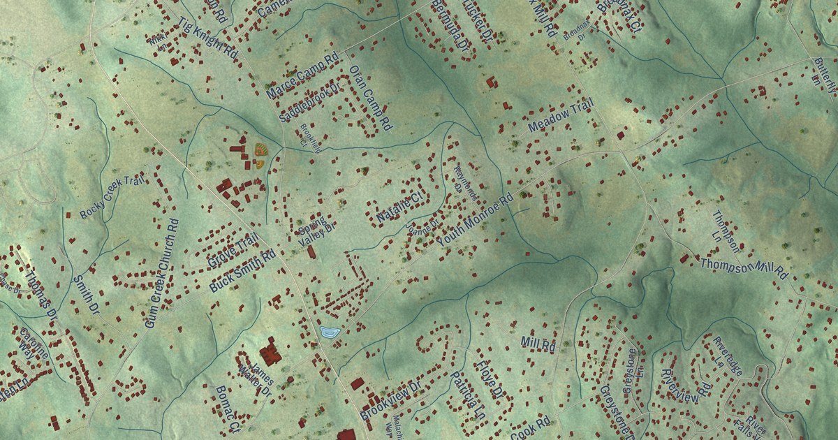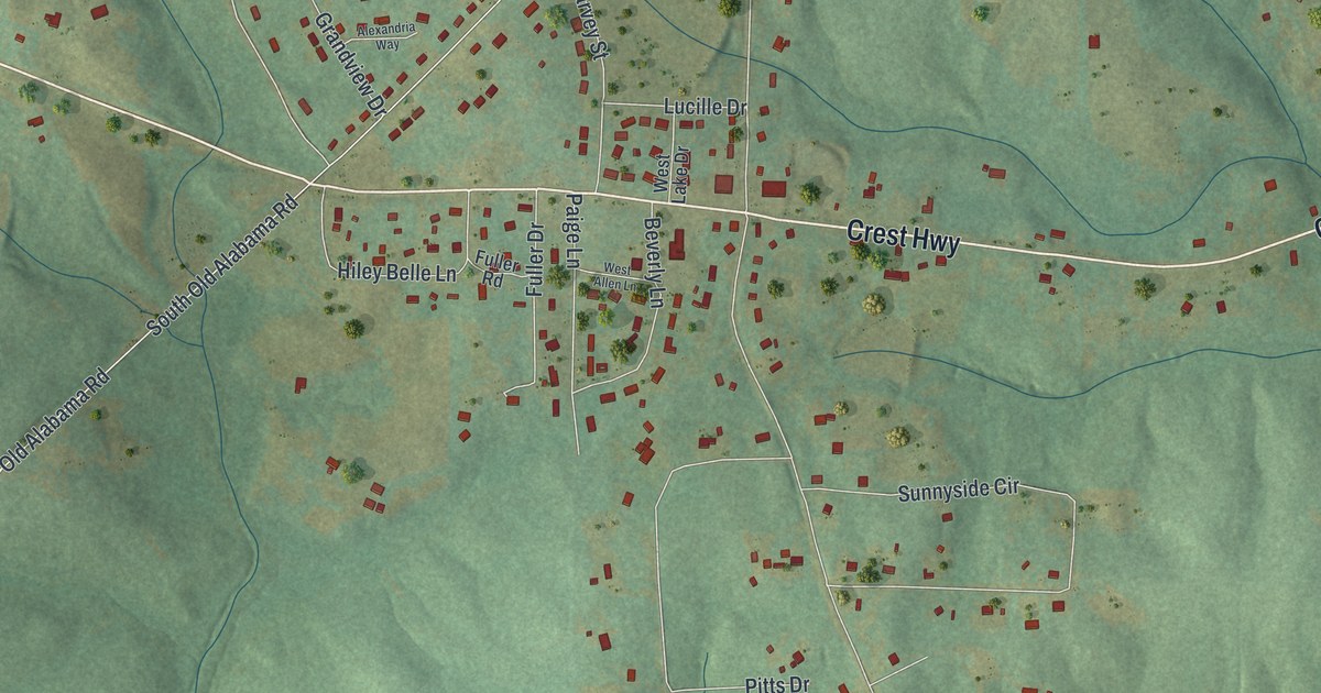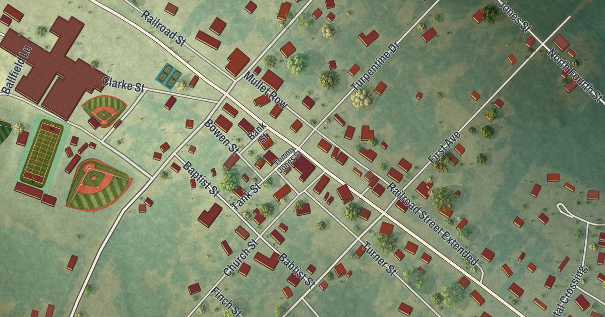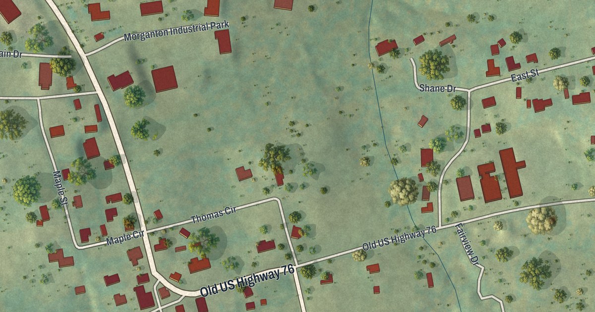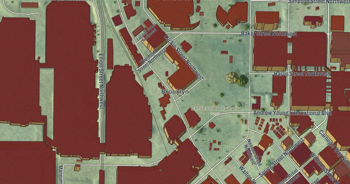
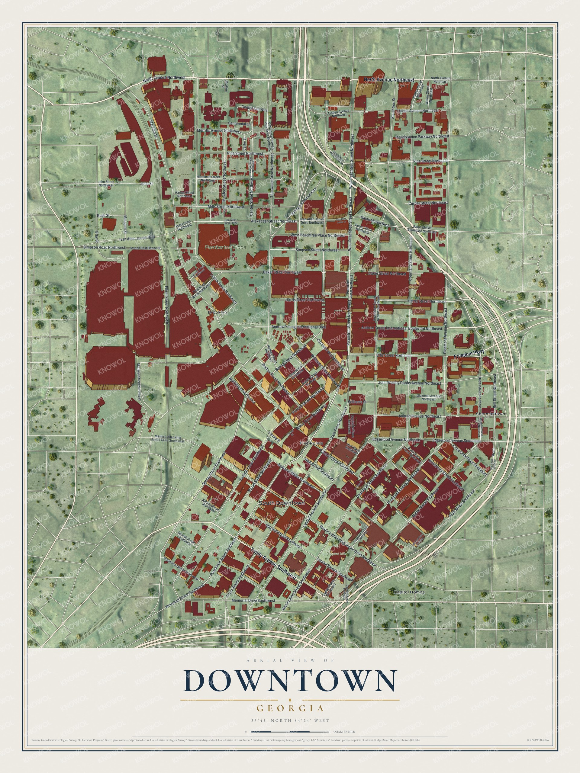
This beautifully detailed map of Downtown, Georgia was created in 2026 using aerial imagery combined with modern topographical, census, street and landmark data. It’s a one-of-a-kind view of Downtown that combines accurate data with a vintage aesthetic. The map shows every building in its true location, many of the roads carry their names, and the shaded topographic relief shows the shape of the land.
Explore an aerial view of Downtown, Georgia
On the map you’ll find South Downtown, Brooklyn, Five Points, Shermantown, Centennial Olympic Park, and Hurt Park, along with North Avenue, Trinity Avenue, Freedom Parkway, West Peachtree Street, and more. If you look closely you can even find your house accurately drawn in its correct location. Zoom in on the preview to look for yours.
Did You Know?
Downtown Atlanta began in 1837 as a town called Terminus, at the end of a state railroad. In 1842 its 30 residents renamed it Marthasville for Governor Wilson Lumpkin’s daughter. Railroad engineer John Edgar Thomson pushed for another change. His idea, Atlantica-Pacifica, was shortened to Atlanta.
Take a closer look at the Downtown map
Names on this map
These names are printed on this map.
Places: South Downtown, Centennial Olympic Park, Pemberton Place, Capitol Hill, Hurt Park, Brooklyn, Capitol Homes, Five Points and Shermantown.
Streets and roads: North Avenue Northeast, Trinity Avenue Southwest, Freedom Parkway, West Peachtree Street Northeast, Harris Street Northeast, Pine Street Northwest, Spring Street Northwest, Spring Street Southwest, Peachtree Street, Peachtree Street Northwest, Peachtree Street Southwest, Baker Street Northwest.
More street names, A to Z
Alabama Street Southwest, Alexander Street Northwest, Andrew Young International Boulevard, Andrew Young International Boulevard Northeast, Armstrong Street Southeast, Auburn Avenue Northeast, Auditorium Place Southeast, Baker Street Northeast, Bell Street Northeast, Bell Street Southeast, Broad Street, Broad Street Northwest, Broad Street Southwest, Brotherton Street Southwest, Bush Street, Butler Street Northeast, Butler Street Southeast, Capitol Avenue Southeast, Capitol Place Southwest, Capitol Square Southwest, Carnegie Way Northwest, Centennial Lane, Centennial Olympic Park Drive Northwest, Centennial Way, Center Street, Center Street Northwest, Central Avenue Southwest, Coca Cola Place Southeast, Collins Street, Cone Street Northwest, Courtland Street Northeast, Courtland Street Southeast, Currier Street Northeast, Decatur Street Southeast, Edgewood Avenue Northeast, Edgewood Avenue Southeast, Elliott Street Northwest, Ellis Street Northeast, Equitable Place Northeast, Fairlie Street, Fairlie Street Northwest, Forsyth Street Northwest, Forsyth Street Southwest, Garnett Street Southwest, Glazener Avenue Northeast, Gray Street, Harris Street Northwest, Hunnicutt Street Northwest, Hurt Plaza Southeast, Ivan Allen Junior Boulevard, Ivan Allen Junior Drive, Ivan Allen Junior Drive Northwest, Jesse Hill Junior Drive Northeast, John Street, John Street Northwest, John Wesley Dobbs Avenue Northeast, Joseph East Boone Street, Juniper Street Northeast, Latimer Street Northwest, Linden Avenue Northeast, Linden Avenue Northwest, Lovejoy Street Northwest, Luckie Street Northwest, Mangum Street, Mangum Street Northwest, Marietta Street, Martin Luther King Junior Drive Southeast, Martin Luther King Junior Drive Southwest, McAfee Street, McAfee Street Northwest, Mc Cord Place Southeast, Memorial Drive Southwest, Merritts Avenue Northwest, Mills Street Northwest, Mitchell Street Southwest, Nassau Street Northwest, Nelson Street Southwest, North Avenue Northwest, Parker Street Northwest, Park Place Northeast, Peachtree Center Avenue Northeast, Peachtree Street Northeast, Piedmont Avenue Northeast, Piedmont Avenue Southeast, Piedmont Avenue Southwest, Pine Street Northeast, Porter Place Northeast, Pratt, Pratt Street Southeast, Pryor Street Southwest, Ralph McGill Boulevard, Ralph McGill Boulevard Northeast, Renaissance Parkway Northeast, Simpson Road Northwest, Simpson Street Northwest, Spring Techwood Con, Spring West Peachtree Con, Techwood Drive Northwest, Thurmond Street Northwest, Wall Street Northwest, Wall Street Southeast, Walton Street Northwest, Washington Street Southwest, West Conn Northwest, West Peachtree Place Northwest, West Peachtree Street Northwest, Whitehall Street Southwest, Williams Street, Williams Street Northwest, Willow Street Northeast.
See it on a wall
The Downtown map as a framed print. Swipe for more.


This beautifully detailed map of Downtown makes an attractive addition to your office, library, or den, and it can even be used to teach children the geography and history of the area. It also makes a great gift for anyone with Downtown roots. When you’re done exploring, click here to get your copy of the Downtown map.