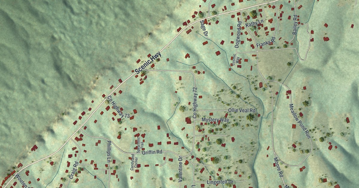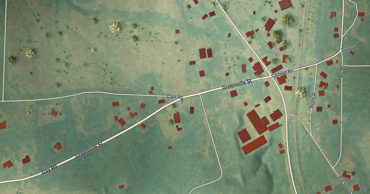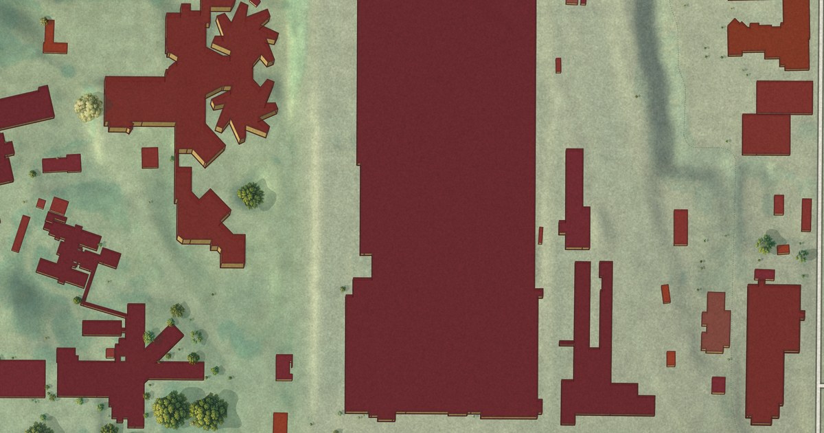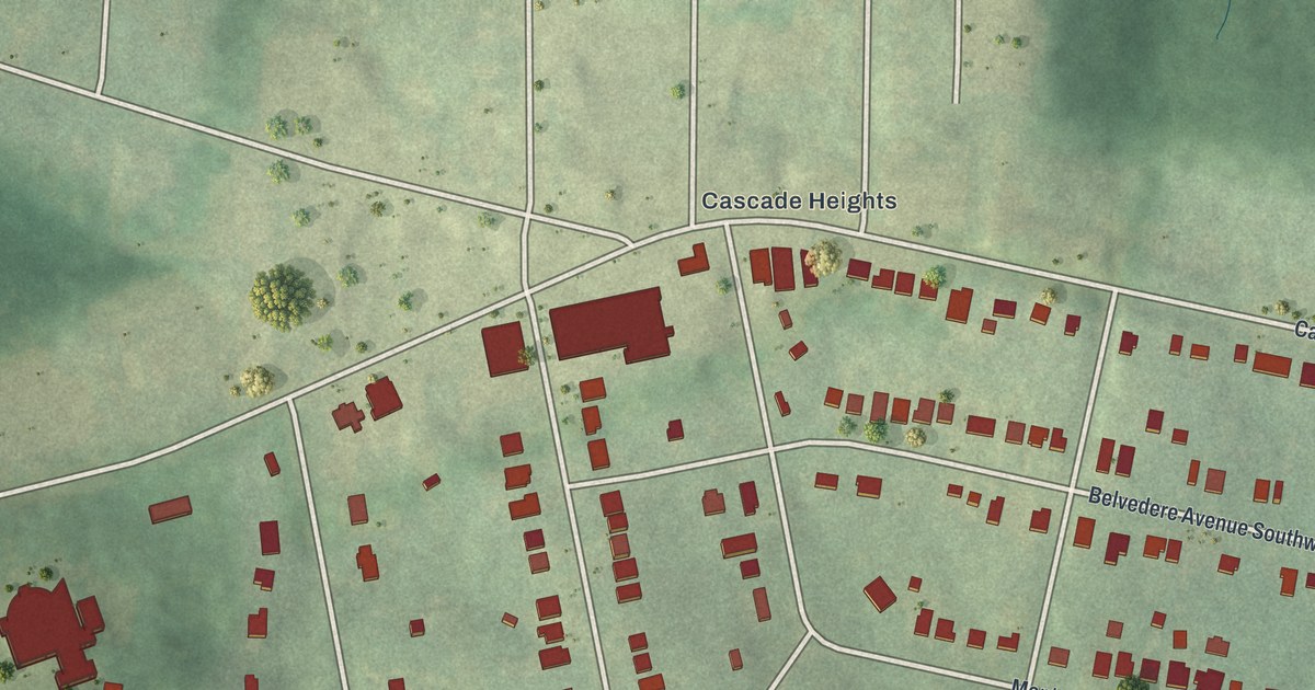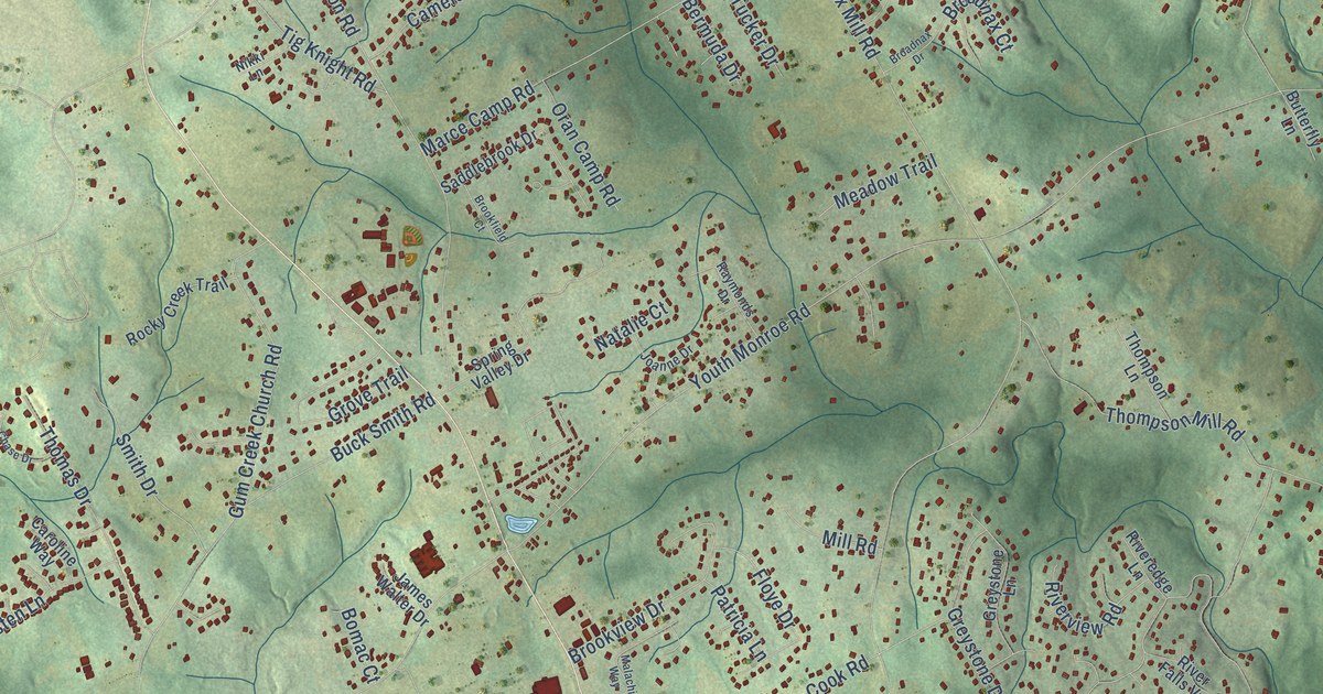
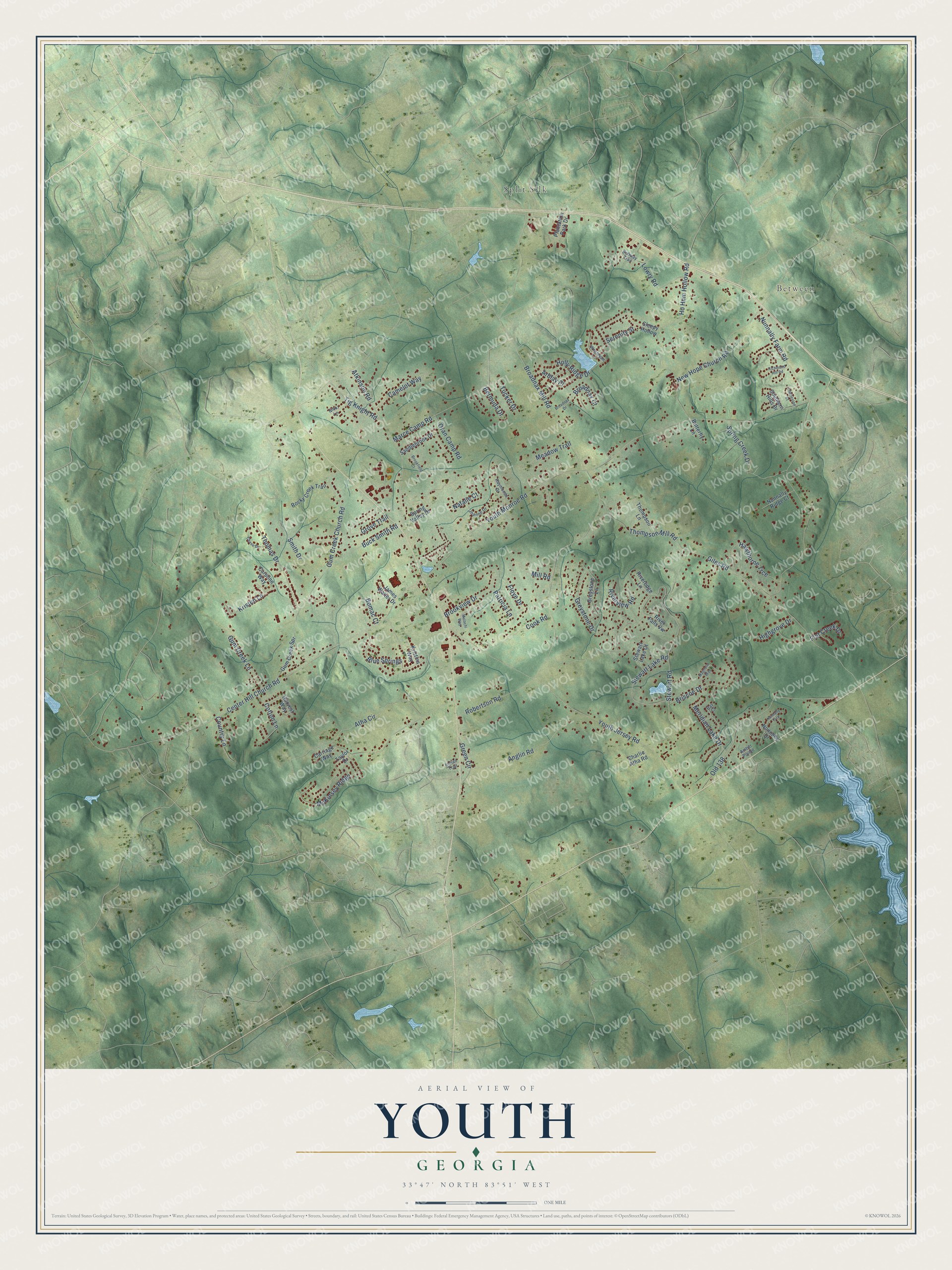
This beautifully detailed map of Youth, Georgia was created in 2026 using aerial imagery combined with modern topographical, census, street and landmark data. It’s a one-of-a-kind view of Youth that combines accurate data with a vintage aesthetic. The map shows every building in its true location, many of the roads carry their names, and the shaded topographic relief shows the shape of the land.
Explore an aerial view of Youth, Georgia
On the map you’ll find Between, Split Silk, and Old 138, along with Youth Monroe Road, Nunnally Farm Road, Stewart Road, Broadnax Mill Road, Center Hill Church Road, Youth Jersey Road, Atha Circle, Gum Creek Church Road, Ho Hum Hollow Road, and more. If you look closely you can even find your house accurately drawn in its correct location. Zoom in on the preview to look for yours.
Did You Know?
From Internet Archive: "With the exception of the State Industrial College for Colored Youth, at College, near Savannah, all the above-named institutions are for whites exclusively."
Youth is a community in Walton County.
Take a closer look at the Youth map
Names on this map
These names are printed on this map.
Places: Between and Split Silk.
Streets and roads: Youth Monroe Road, Nunnally Farm Road, Stewart Road, Broadnax Mill Road, Center Hill Church Road, Youth Jersey Road, Atha Circle, Gum Creek Church Road, Old 138, Ho Hum Hollow Road, Atkinson Road, Thompson Mill Road.
More street names, A to Z
Amber Pointe, Anglin Road, Arblay Place, Bay Court, Bermuda Drive, Blue Springs, Bobway Trail, Bomac Court, Briscoe Drive, Broadnax Court, Broadnax Drive, Brookfield Court, Brookview Drive, Buck Smith Road, Butterfly Lane, Camelot Way, Caroline Way, Carriage Way, Charleston Court, Charlie Atha Road, Chase Drive, Cook Road, Cotton Lane, Country Lane, Flat Creek Drive, Floye Drive, Giles Road, Green Circle, Greystone Drive, Greystone Lane, Grove Trail, Gum Creek Lane, Gum Creek Spr, Harvest Way, Hawthorne Trce, Highgrove Drive, Holly Ridge Drive, Indian Trail, James Walter Drive, Joanne Drive, Kristen Lane, Kristins Way, Lowry Road, Magnolia Way, Malachi Way, Marce Camp Road, McKinsey Ridge, Meadow Trail, Meridian Lake Drive, Mill Road, Natalie Court, New Hope Church Road, Nikki Lane, Nunnally Drive, Nunnally Ridge Court, Nunnally Trce, Oran Camp Road, Patricia Lane, Plantation Park Drive, Raymonds Drive, Richmond Hill Road, Riveredge Lane, River Falls Vw, Riverview Road, Robertson Road, Rocky Creek Trail, Saddlebrook Drive, Serenity Street, Sleepy Hollow, Smith Drive, Southern Hills Drive, Spring Creek Drive, Spring Valley Drive, Stewart Lake Court, Stewart Lake Road, Taylor Drive, Thomas Drive, Thompson Lane, Tig Knight Road, Tucker Drive, Wesleyan Lane.
See it on a wall
The Youth map as a framed print. Swipe for more.


This beautifully detailed map of Youth makes an attractive addition to your office, library, or den, and it can even be used to teach children the geography and history of the area. It also makes a great gift for anyone with Youth roots. When you’re done exploring, click here to get your copy of the Youth map.