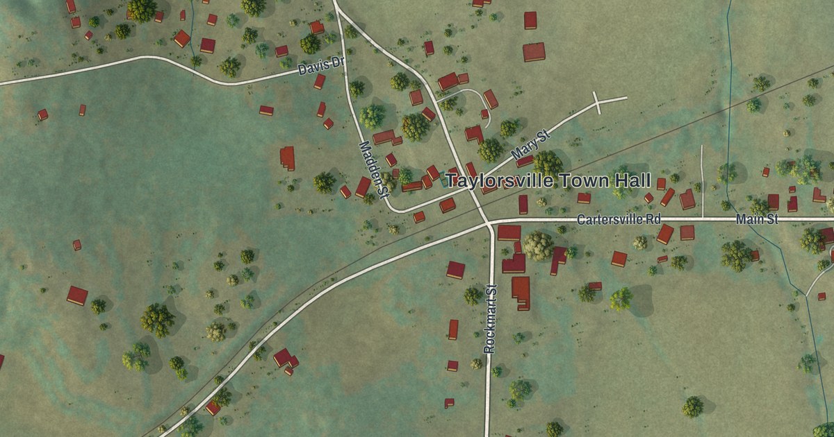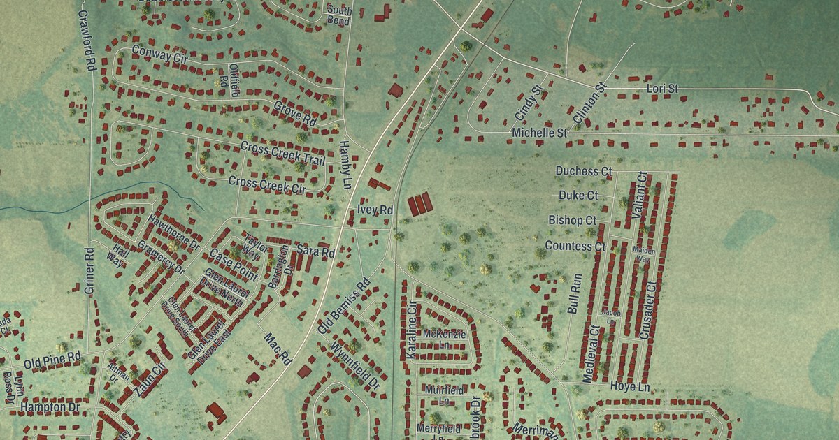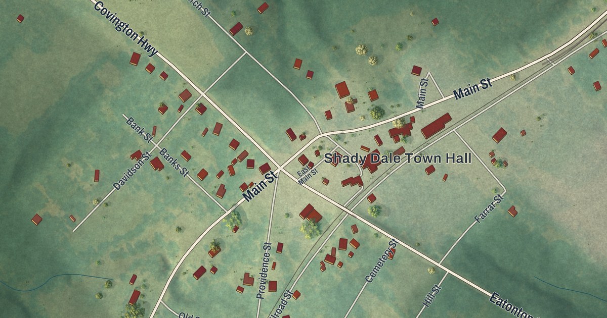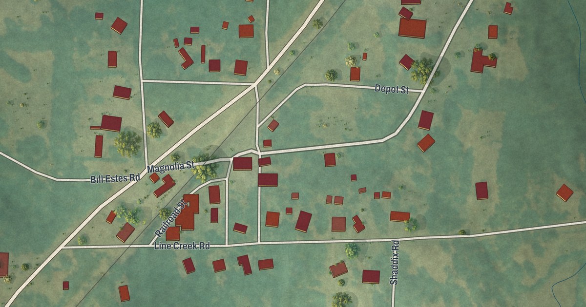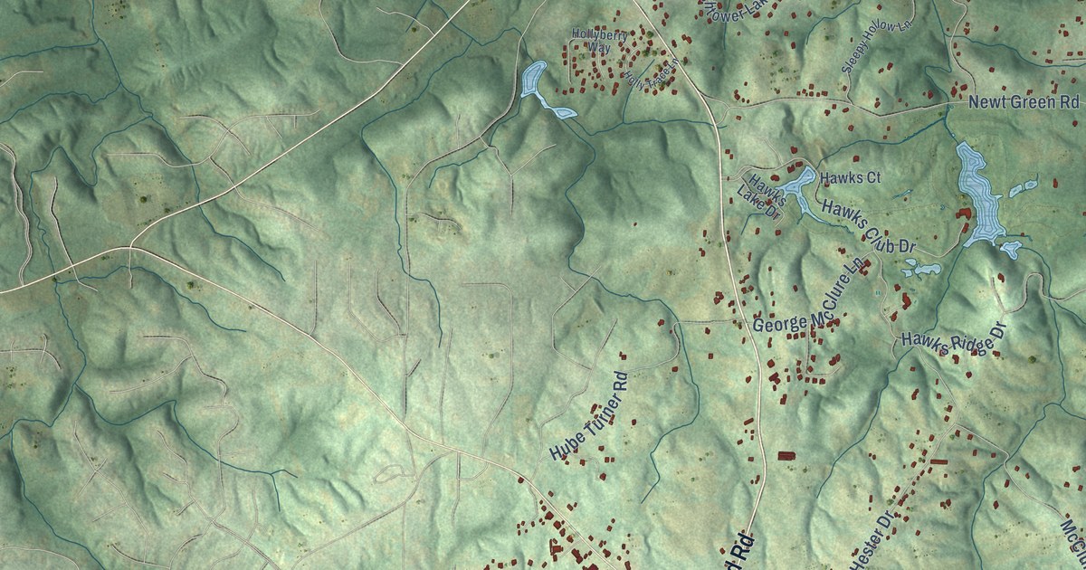
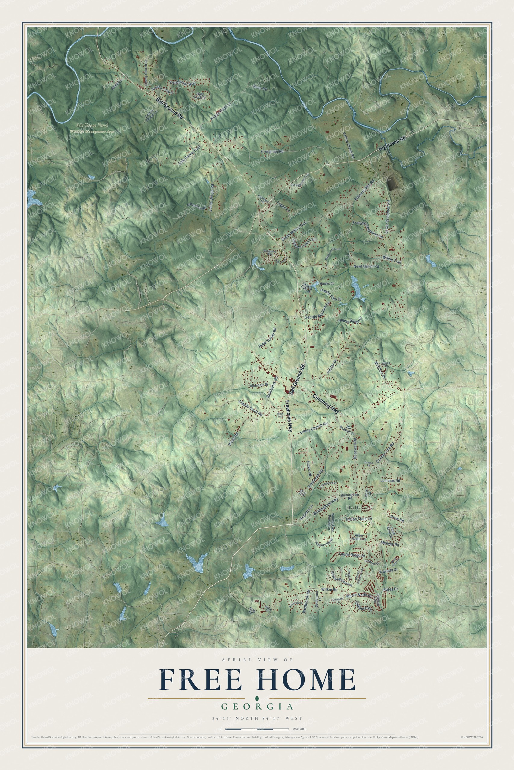
This beautifully detailed map of Free Home, Georgia was created in 2026 using aerial imagery combined with modern topographical, census, street and landmark data. It’s a one-of-a-kind view of Free Home that combines accurate data with a vintage aesthetic. The map shows every building in its true location, many of the roads carry their names, and the shaded topographic relief shows the shape of the land.
Explore an aerial view of Free Home, Georgia
On the map you’ll find Holbrook and McGraw Ford Wildlife Management Area, along with Ball Ground Road, Cumming Highway, Hightower Road, Freehome Highway, County Line Road, Birmingham Highway, Hopewell Road, Creighton Road, Edwards Mill Road, Newt Green Road, and more. If you look closely you can even find your house accurately drawn in its correct location. Zoom in on the preview to look for yours.
Take a closer look at the Free Home map
Names on this map
These names are printed on this map.
Places: Holbrook and McGraw Ford Wildlife Management Area.
Streets and roads: Ball Ground Road, Cumming Highway, Hightower Road, Freehome Highway, County Line Road, Birmingham Highway, Hopewell Road, Creighton Road, Edwards Mill Road, Newt Green Road, Hogan Pond Lane, Hester Drive.
More street names, A to Z
Aaronwood Court, Allendale Drive, Arbor Green Lane, Bates Drive, Bausart Road, Bill Bagwell Drive, Birch Bend Drive, Birmingham Road, Birmingham Walk, Black Trail, Boling Court, Chastain Court, Claude Scott Road, Cokers Chapel Lane, Creekside Bend, Dawson Creek Drive, Dimsdale Lane, Dodd Lane, Drew Road, Franklin Goldmine Road, Freehome Road, George McClure Lane, Glenn Wilkie Trail, Gold Rush Court, Goss Court, Hawks Club Drive, Hawks Court, Hawks Lake Drive, Hawks Ridge Drive, Hickory Hill Drive, Hicks Road, Hightower Lake Trail, Hightower Trail, Hitt Circle, Holbrook Campground Road, Hollyberry Way, Holly Trace Lane, Hopewell Chase Drive, Hube Turner Road, Indian Trace Drive, Julius Bridge Road, King Road, Laurel Ridge Drive, Liberty Church Lane, Logan Lane, Lower Creighton Road, Lula Payne Trail, Lummus Road, Manor North Drive, Manor Ridge Vw, McClure Drive, Midway Road, Oakhurst Lane, Old Dornell Road, Old Hightower Trail, Prospector Way, Registry Lane, River Road, Sequoyah Drive, Settlement Lane, Sleepy Hollow Lane, Smithwick Road, Trinity Church Road, Waverly Drive, Westbrook Road, Wilkie Court, Wilkie Road, Wilkie Trail, William East Purcell Lane, Wyatt Road, Yellow Creek Road.
See it on a wall
The Free Home map as a framed print. Swipe for more.


This beautifully detailed map of Free Home makes an attractive addition to your office, library, or den, and it can even be used to teach children the geography and history of the area. It also makes a great gift for someone who left Free Home and still calls it home. When you’re done exploring, click here to get your copy of the Free Home map.