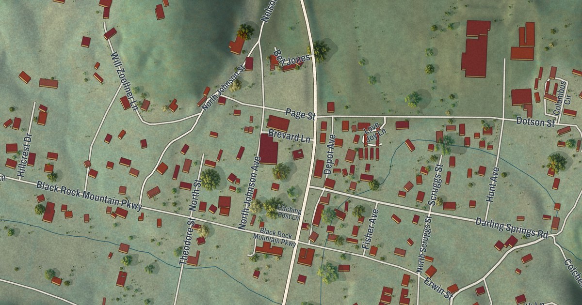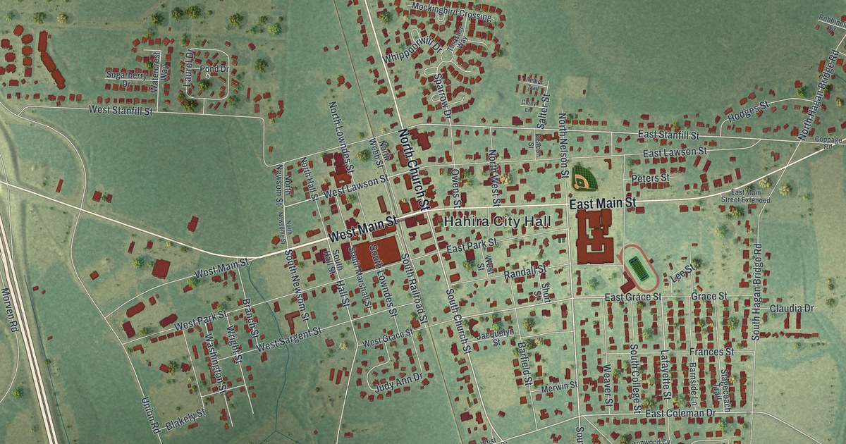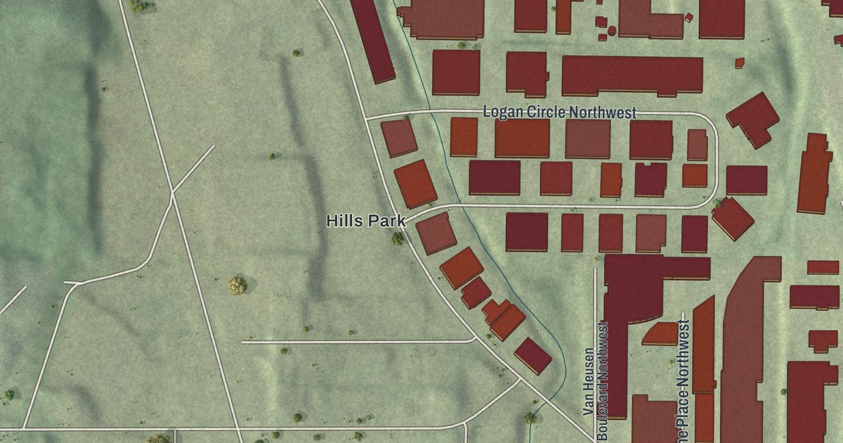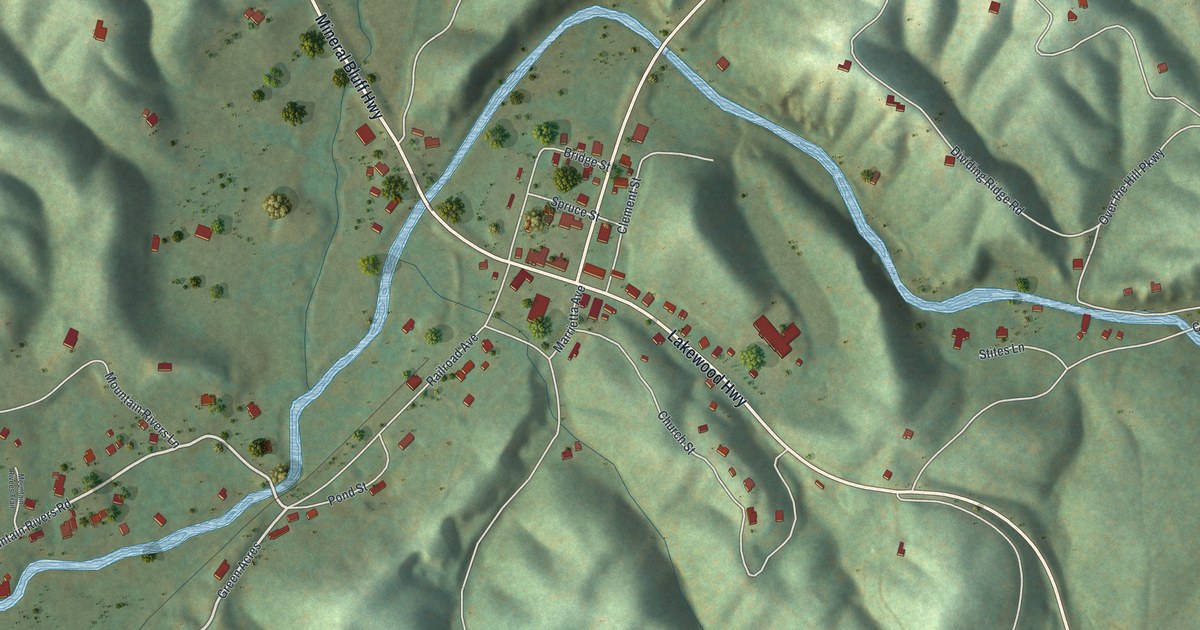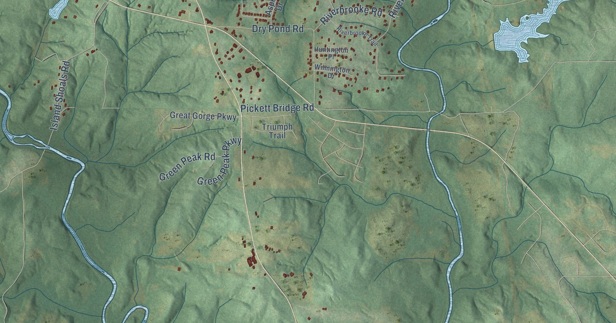
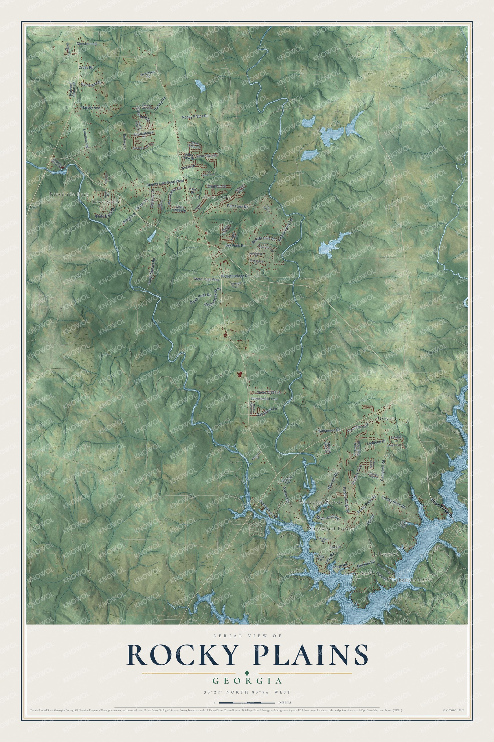
This beautifully detailed map of Rocky Plains, Georgia was created in 2026 using aerial imagery combined with modern topographical, census, street and landmark data. It’s a one-of-a-kind view of Rocky Plains that combines accurate data with a vintage aesthetic. The map shows every building in its true location, many of the roads carry their names, and the shaded topographic relief shows the shape of the land.
Explore an aerial view of Rocky Plains, Georgia
On the map you’ll find Lakeside Grove, Hollow Oaks, Stewart, Riverside Park, Malcolm Woods, Sherwood Forest, Long Acres, Idlewood, and Riverwood, along with Campbell Road, Rocky Plains Road, County Line Road West, and more. If you look closely you can even find your house accurately drawn in its correct location. Zoom in on the preview to look for yours.
Take a closer look at the Rocky Plains map
Names on this map
These names are printed on this map.
Places: Lakeside Grove, Hollow Oaks, Stewart, Riverside Park, Malcolm Woods, Sherwood Forest, Long Acres, Idlewood and Riverwood.
Streets and roads: Campbell Road, Rocky Plains Road, County Line Road West, Island Shoals Road, Malcom Road, Chestnut Road, Rocky Point Road, Parr Farm Road, Dry Pond Road, Lummus Road, Parker Road, Conley Ditch Road.
More street names, A to Z
Aspen Drive, Aspen Forest Drive, Avery Drive, Barcelona Drive, Bohannon Road, Bramble Bush Trail, Brighton Drive, Brittney Lane, Brown Bridge Road, Cashew Court, Chestnut Drive, Cheyenne Drive, Clover Valley Drive, Creek Bottom Drive, Cross Road, Cypress Drive, Dye Road, Fairlane Drive, Great Gorge Parkway, Green Peak Parkway, Green Peak Road, Hammock Drive, Harvey Avenue, Harvey Road, Harvey Wood Drive, Hayden Trail, Helen Road, Home Place Drive, Hopewell Church Road, Hunters Keep, Hunters Ridge Drive, Hunters Trce, Huntington Place, Kendall Lane, Lang Circle, Lang Road, Lazy Lane, Loudoun Drive, Macadamia Court, Manders Trail, Mayo Road, McKibben Road, Meadow Overlook Drive, Mitchell Road, Oak Brook Lane, Oak Meadows Drive, Oaks Drive, Parr Farm Drive, Pebble Ridge Drive, Pickett Bridge Road, Pleasant Hills Drive, Plunkett Road, Polk Road, Pope Trail, Riverbrooke Road, Riverbrooke Terrace, Riverbrooke Trail, River Crest Lane, Robin Hood Road, Rocky Ridge Court, Savoy Park Drive, Shadowbrook Drive, Shadowbrook Trce, Snapping Shoals Road, Sonomawood Trail, South River Drive, Stewart Glen Drive, Stone Ridge Drive, Triumph Trail, Valley View Drive, Wellbrook Drive, Westbrook, White Birch Drive, Whitebirch Drive, Wilmington Drive.
See it on a wall
The Rocky Plains map as a framed print. Swipe for more.


This beautifully detailed map of Rocky Plains makes an attractive addition to your office, library, or den, and it can even be used to teach children the geography and history of the area. It also makes a great gift for someone who left Rocky Plains and still calls it home. When you’re done exploring, click here to get your copy of the Rocky Plains map.