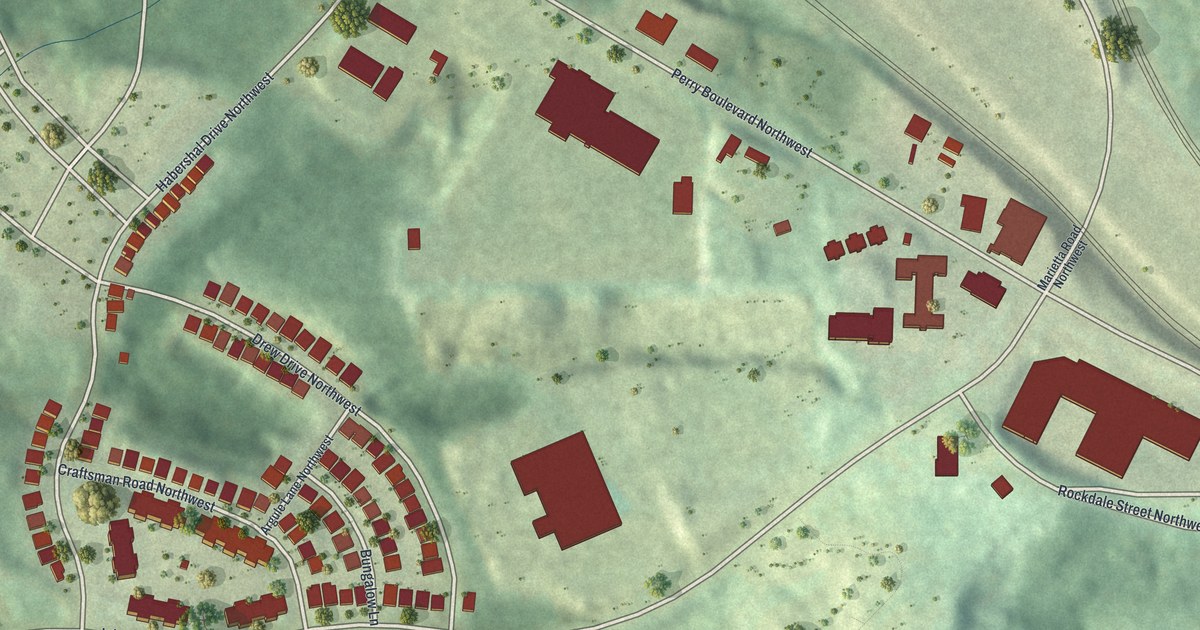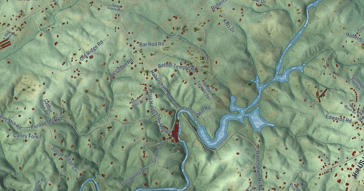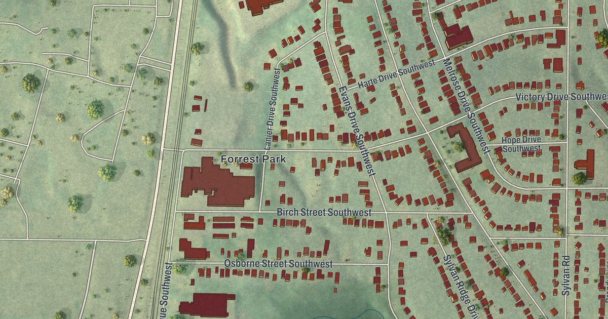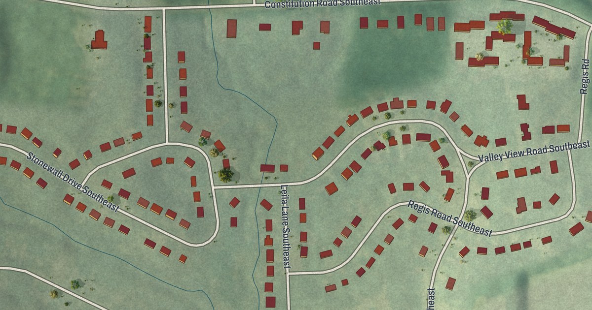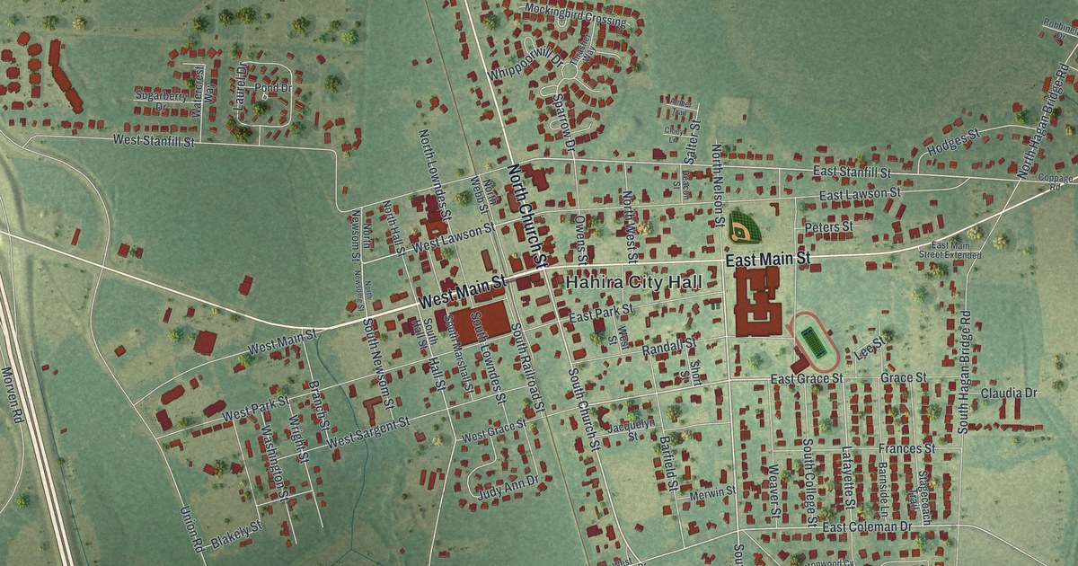
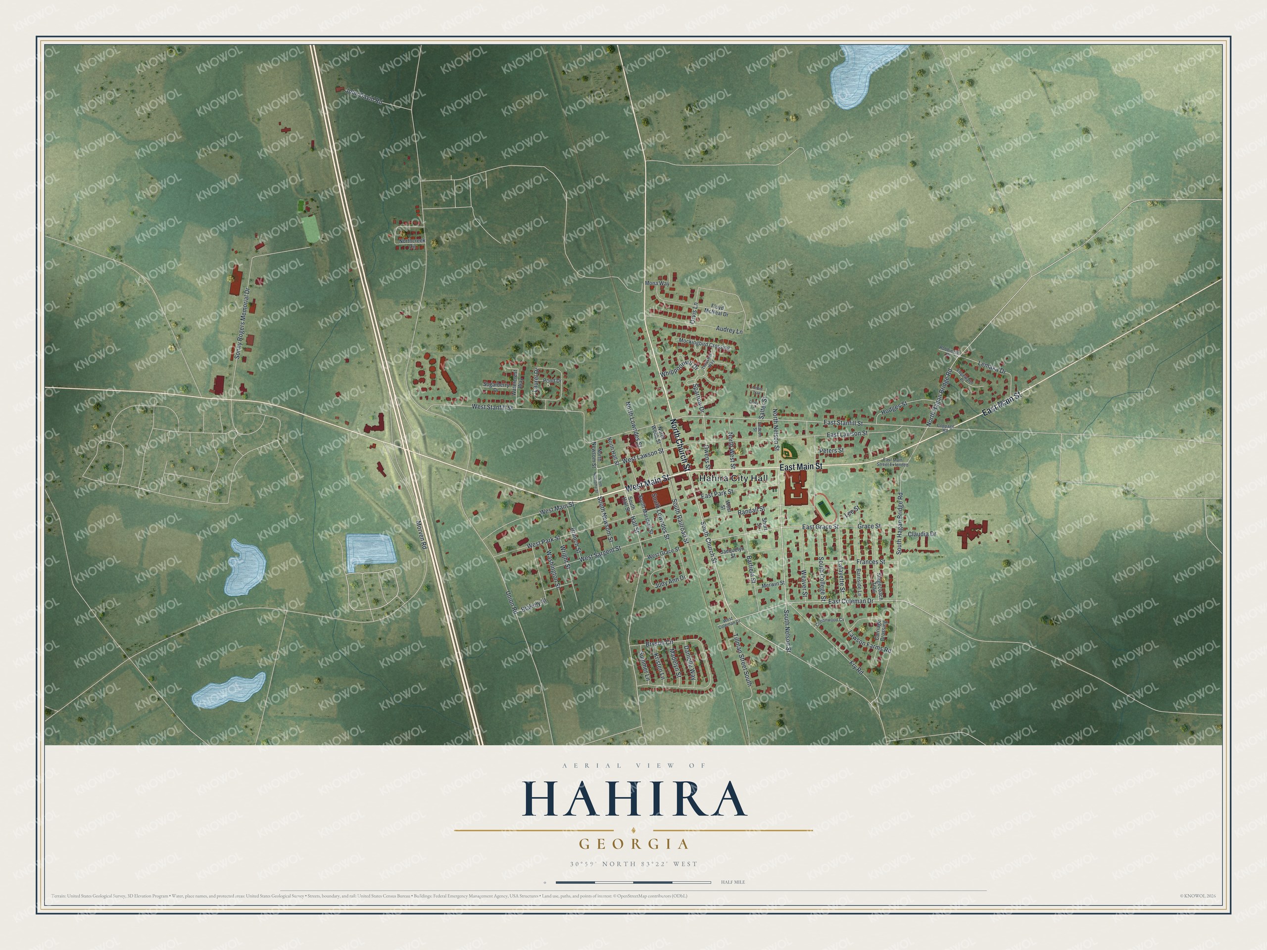
This beautifully detailed map of Hahira, Georgia was created in 2026 using aerial imagery combined with modern topographical, census, street and landmark data. It’s a one-of-a-kind view of Hahira that combines accurate data with a vintage aesthetic. The map shows every building in its true location, many of the roads carry their names, and the shaded topographic relief shows the shape of the land.
Explore an aerial view of Hahira, Georgia
On the map you’ll find Hahira City Hall, along with Main Street, Church Street, Nelson Street, Grace Street, and more. If you look closely you can even find your house accurately drawn in its correct location. Zoom in on the preview to look for yours.
Did You Know?
Cotton was the main crop in Hahira until boll weevils ruined it in the early 1920s. Local farmers turned to tobacco instead. By the late 1920s, tobacco men in town had opened their own cigarette factory. It later made the nationally sold Happy Days brand and ran until 1998.
Take a closer look at the Hahira map
Names on this map
These names are printed on this map.
Places: Hahira City Hall.
Streets and roads: West Main Street, East Main Street, North Church Street, South Church Street, South Nelson Street, East Grace Street, West Lawson Street, East Coleman Drive, Lafayette Street, East Stanfill Street, Sparrow Drive, Hall Street.
More street names, A to Z
Amber Trail, Audrey Lane, Barfield Street, Barnside Lane, Blakely Street, Branch Street, Bryson Circle, Carriage Crossing, Claudia Drive, Cloey Lane, Coppage Road, Cottonwood Cv, Danielle Way, Deacon Street, East Lawson Street, East Main Street Extended, East Park Street, Edgewater Place, Floyd McNeal Drive, Frances Street, Fry Road, Grace Street, Hodges Street, Jacquelyn Street, John David Road, Judy Ann Drive, Kristen Lane, Laurel Drive, Lawson Farms Road, Lee Street, Lemaka Drive, Madelyn Street, Merwin Street, Mockingbird Crossing, Mona Way, Morven Road, Northcreek Circle, North Hagan Bridge Road, North Hall Street, North Lowndes Street, North Nelson Street, North Newsome Street, North Newsom Street, North Webb Street, North West Street, Orvis Lane, Owens Street, Peters Street, Pond Drive, Randall Street, Robbinelle Drive, Salter Street, Short Street, Sonny Rogers Memorial Drive, South College Street, South Hagan Bridge Road, South Hall Street, South Lowndes Street, South Marshall Street, South Newsom Street, South Railroad Street, Stagecoach Trail, Sugarberry Drive, Summer Lane, Thrasher Way, Tillman Street South, Union Road, Washington Street, Watercrest Way, Weaver Street, West Coleman Drive, West Grace Street, West Park Street, West Sargent Street, West Stanfill Street, West Street, Whippoorwill Drive, Wright Street.
See it on a wall
The Hahira map as a framed print. Swipe for more.


This beautifully detailed map of Hahira makes an attractive addition to your office, library, or den, and it can even be used to teach children the geography and history of the area. It also makes a great gift for anyone with Hahira roots. When you’re done exploring, click here to get your copy of the Hahira map.