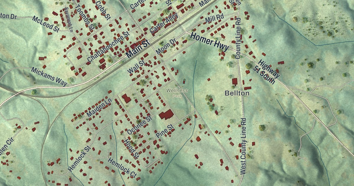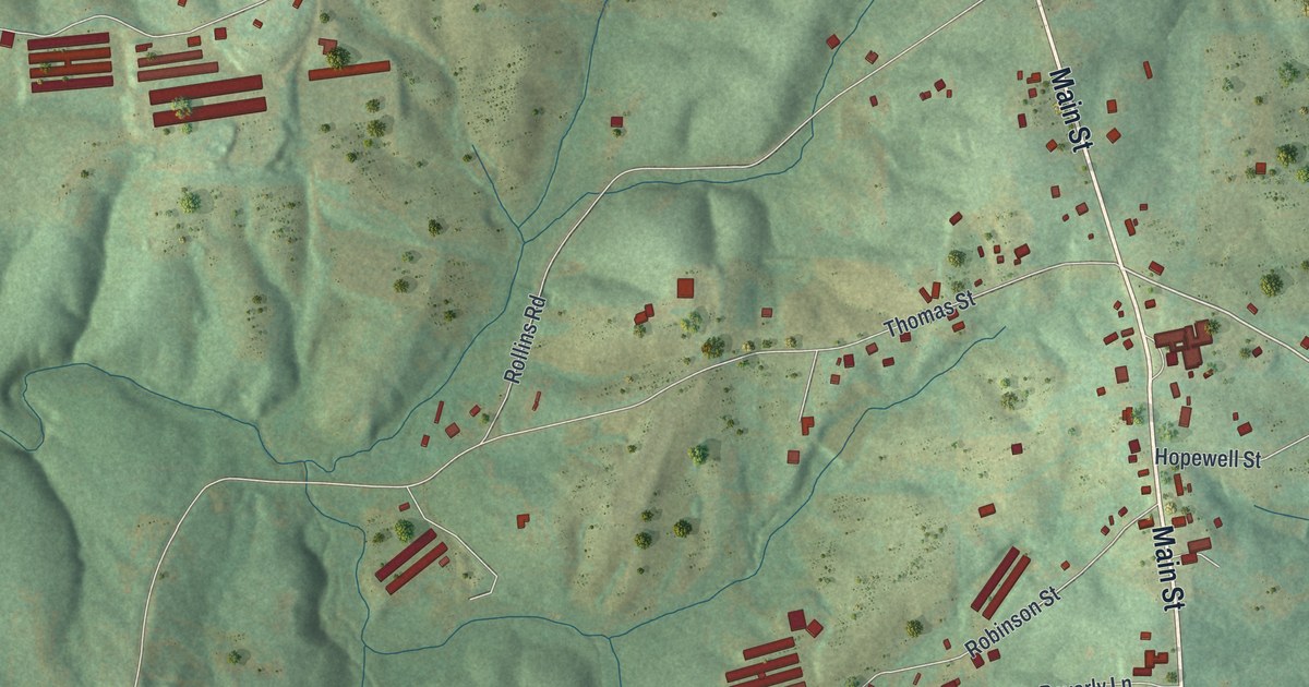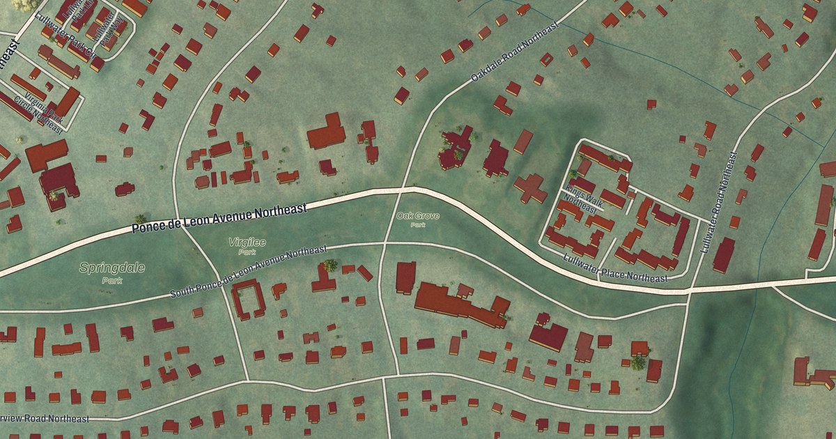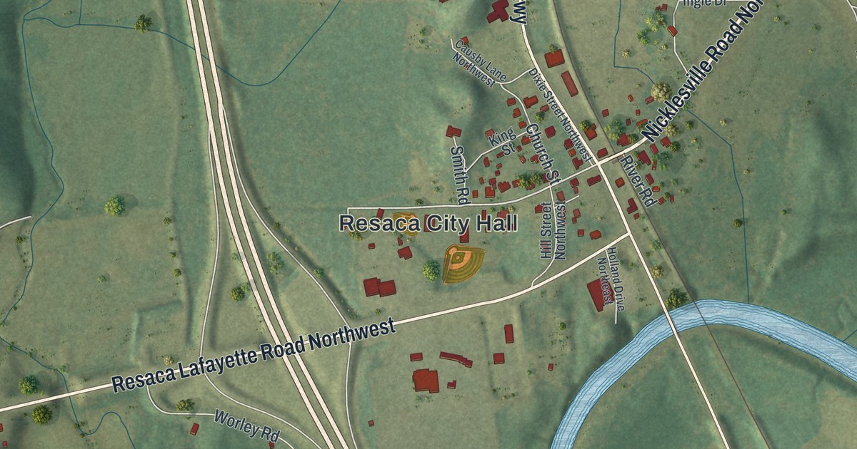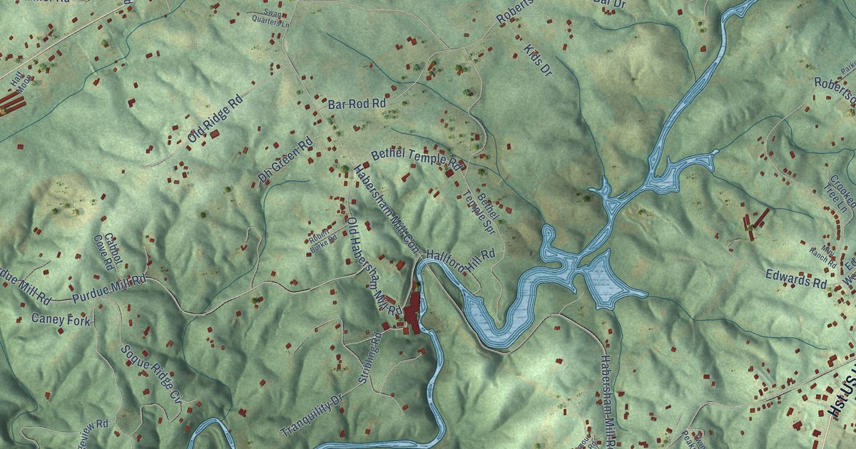
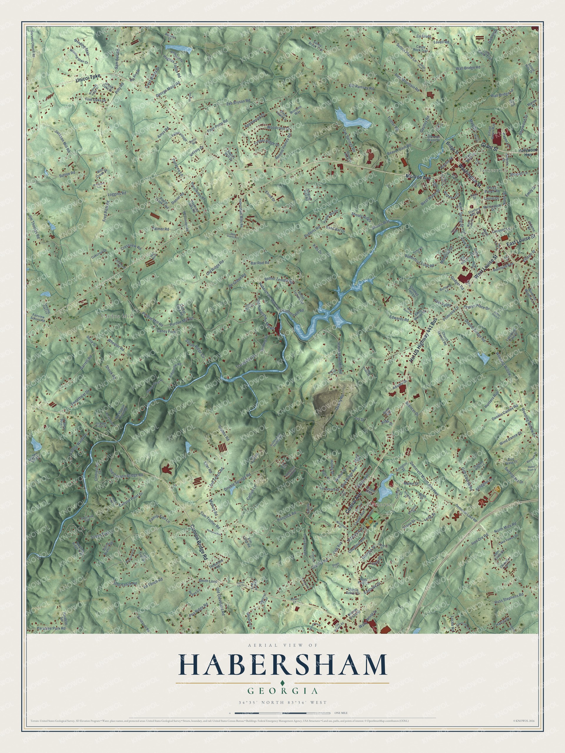
This beautifully detailed map of Habersham, Georgia was created in 2026 using aerial imagery combined with modern topographical, census, street and landmark data. It’s a one-of-a-kind view of Habersham that combines accurate data with a vintage aesthetic. The map shows every building in its true location, many of the roads carry their names, and the shaded topographic relief shows the shape of the land.
Explore an aerial view of Habersham, Georgia
On the map you’ll find Clarkesville, Demorest, Pardue Mill, and Hst US Highway 441 Bus, along with Washington Street, Grant Street, East Louise Street, Central Avenue, Cannon Bridge Road, Unicoi Turnpike, West Louise Street, Monroe Avenue, and more. If you look closely you can even find your house accurately drawn in its correct location. Zoom in on the preview to look for yours.
Did You Know?
From Internet Archive: "At this conference Nathaniel Rhodes was sent to Habersham County, which bordered on the Cherokee Nation, and whose beautiful valleys were even now settled by the adventurous pioneer."
Habersham is a community in Habersham County.
Take a closer look at the Habersham map
Names on this map
These names are printed on this map.
Places: Clarkesville, Demorest and Pardue Mill.
Streets and roads: Washington Street, Grant Street, East Louise Street, Hst US Highway 441 Bus, Central Avenue, Cannon Bridge Road, Unicoi Turnpike, West Louise Street, Monroe Avenue, Hancock Road, Demorest Mount Airy Highway, Hickory Avenue.
More street names, A to Z
Adams Drive, Alder Street, Alec Mountain Road, Allen Russell Drive, Amys Road, Applewood Court, Arizona Street, Arlington Street, Armour Hill Road, Bar Rod Road, Bass Street, Beaver Dam Road, Bel Aire Drive, Bermuda Drive, Bethel Temple Road, Bethel Temple Spr, Big Sky Valley, Bill Ramsey Road, Black Hawk Lane, Blue Grass Court, Blue Ridge Avenue, Brentwood Drive, Bridge Street, Butterfly Lane, Cabbot Cove Road, Camp Creek Circle, Caney Fork, Cannon Lily Circle, Can Trail Drive, Canyon Point Drive, Cap Fry Road, Castle Rock Trail, Catfish Lane, Chadwick Loop Lane, Chapel Alley, Charlie Batson Drive, Chestnut Avenue, Christy Way, Church Sawmill Road, Cobblestone Lane, College Drive, Crestview Road, Crest Winds Drive, Crooked Tree Lane, Cross Creek Drive, Crosscreek Trail, Cy Grant, Daisy Drive, Daniel Road, Davis Place, Demorest Lake Road, Dennis Catney Road, Dh Green Road, Diamond Drive, Dogwood Acres Lane, Dorm Drive, Double Bridge Road, Double Springs Road, Eagles Nest Drive, Eastside Drive, East Water Street, Eden Woods Road, Ed Tench Road, Edwards Road, Eller Road, Ellison Street, Elrod Drive, Emily Drive, Fairview School Road, Falling Water Drive, Family Ties Lane, Farm Hill Drive, Faye Potts Road, Fisk Avenue, Five Oaks Drive, Flintlock Lane, Fred Pitts Road, Gabrels Drive, Garrett Road, Gastley Road, Gate House Drive, George Moss Road, Georgia Street, Golf Course Road, Grand Oaks Drive, Grubbs Road, Grubbs Road Southwest, Gudger Road, Gunn Avenue, Habersham Landing, Habersham Mill Con, Habersham Mill Road, Habersham Mills Road, Half Moon, Hallford Hill Road, Harris Street, Harvest Church Road, Haywood Hills Road, Hazel Avenue, Heartland Drive, Holley Street, Hollywood Highway, Hopes Circle, Hughes Taylor Road, Hunters Run, Hyde Park Lane, Indiana Boulevard, Iron Ore Road, Ivy Street, Jackson Mill Road, Jim Thomas Road, John Tench Road, Jud Tench Road, Jud Trench Road, Kids Drive, Kim Loop Road, Lacount Lane, Lake Towee Drive, Lakewood Cove Drive, Laurel Avenue, Laurel Drive, Legacy Drive, Leyland Hills, Linbrook Lane, Little Creek Trail, Living Faith Lane, Locke Road, Loggins Road, Long Street, Lovell Road, Lunsford Drive, Maine Street, Maple Ridge Drive, Marion Drive, Marquerite Lane, Maryland Street, Mary Street, McConnell Road, Memorial Drive, Midway Crossing, Mini Ranch Road, Minis Drive, Morningside Drive, Mulkey Road, North Mize Road, North Street, Oak Avenue, Oakcrest Drive, Oak Hill Lane, Oak Springs Road, Old Athens Road, Old Cannon Bridge Road, Old Cleveland Road, Old Habersham Mill Road, Old Ridge Road, Palmer Road, Panacea Lane, Paper Lane, Paradise Park Road, Paradise Spr, Pardue Mill Road, Parkplace Drive, Pea Ridge Road, Pear Valley, Pennyworth Place, Peyton Place Drive, Pine Avenue, Pitts Road, Plant Drive, Poplar Creek Trail, Poplar Mill Drive, Primrose Lane, Princess Anne Lane, Purdue Mill Road, Putts Place, Quarry Road, Rabbit Brush Drive, Railroad Avenue, Rennie Hames Road, Ridgeview Road, Ritchie Street, Robert Burke Road, Robertson Loop Road, Roberts Road, Robin Lane, Rockhouse Crossing, Rockhouse Lane, Rocky Branch Road, Roselyn Court, Royal Acres Road, Rubil Way, Russ Circle, Russ Stephens Road, Saint Mary Street, Salome Drive, Saluda Drive, Sam Bell Road, Sand Bar Drive, Scoggins Drive, Scovill Drive, Semi Circle Drive, Shady Lane, Shallow Creek Drive, Sherman Dixon Drive, Sherwood Drive, Shoals Ridge, Shoals Way, Shook Drive, Shook Road, Singing Hills Road, Sleepy River Drive, Smith Loop, Soque Hills Drive, Soque Ridge Circle, Soque Trail, Spencer Drive, Spring Branch Road, Springbrook Drive, Spring Street, Squirrel Trail, Stanford Mill Road, Stellar Avenue, Stewart Lane, Stonebrook Drive, Stone Street, Stribling Road, Sundance Road, Sunny Brook Trail, Sunset Street, Sutton Place Lane, Sutton Road, Swain Drive, Swan Quarters Lane, Sweetbriar Drive, Sweetgrass Drive, Swinging Oaks Lane, Tennessee Street, Timberline Road, Timber Ridge Drive, Tom Trotter Road, Tranquility Drive, Trotter Road, Twin Peaks Drive, Twisting Ridge Trail, Valley Village, Victory Drive, View Street, Village Green Way, Wall Bridge Lp, Wall Bridge Road, Wally World Drive, Walnut Street, Water Tower Place, Weeping Willow, Weeping Willow Drive, West Water Street, Wheeler Road, Whitetail Lane, Wild Creek Drive, Wildflower Trail, Wildwood Circle, Wilson Street, Wind Dance Court, Winding Stair, Winding Stair Court, Windrose Meadow Lane, Windsong Ridge Drive, Wisconsin Street, Wonders Way, Woodcrest Drive, Wren Drive, Yearwood Drive, Yonah Drive, York Street, Zeb Bryson Road.
See it on a wall
The Habersham map as a framed print. Swipe for more.


This beautifully detailed map of Habersham makes an attractive addition to your office, library, or den, and it can even be used to teach children the geography and history of the area. It also makes a great gift for someone who left Habersham and still calls it home. When you’re done exploring, click here to get your copy of the Habersham map.