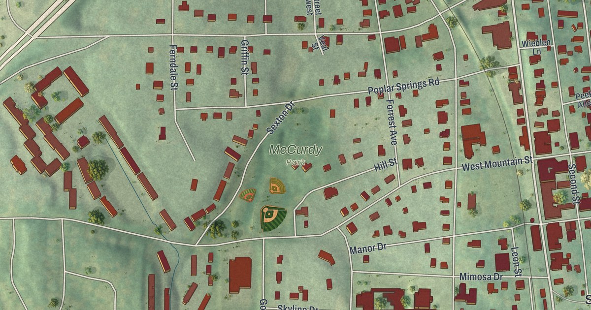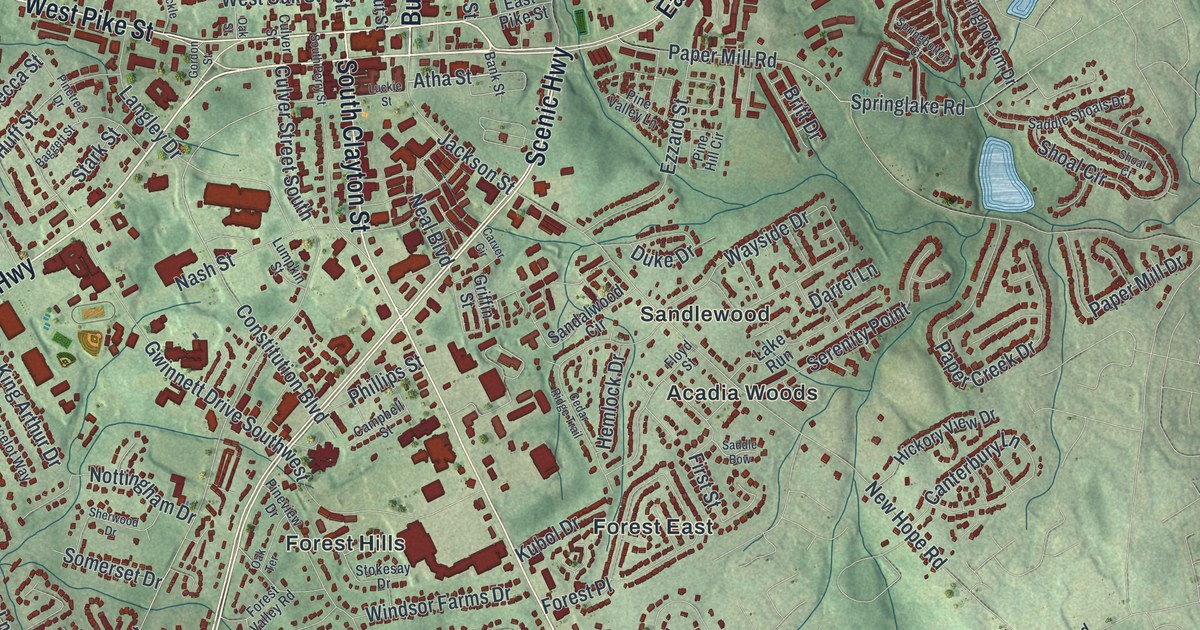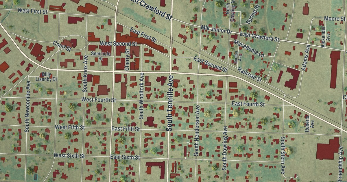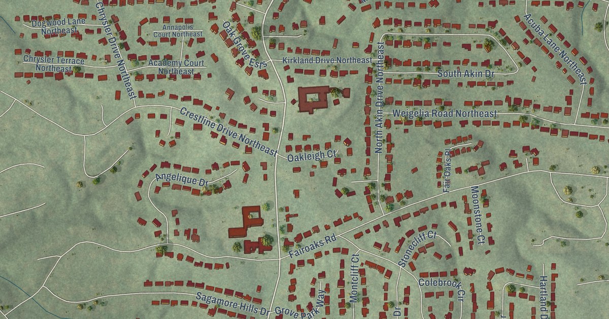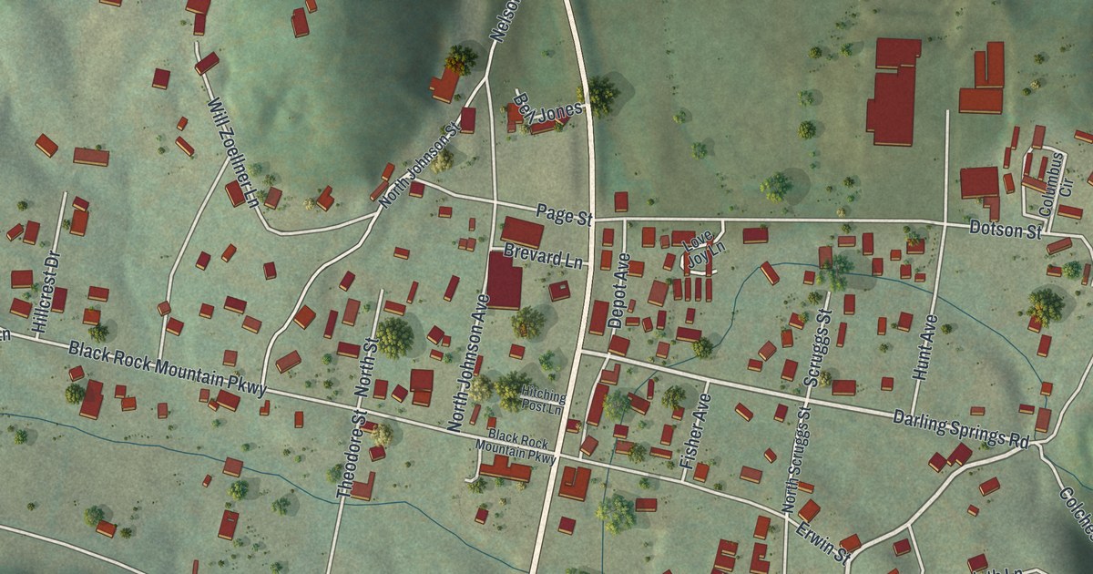
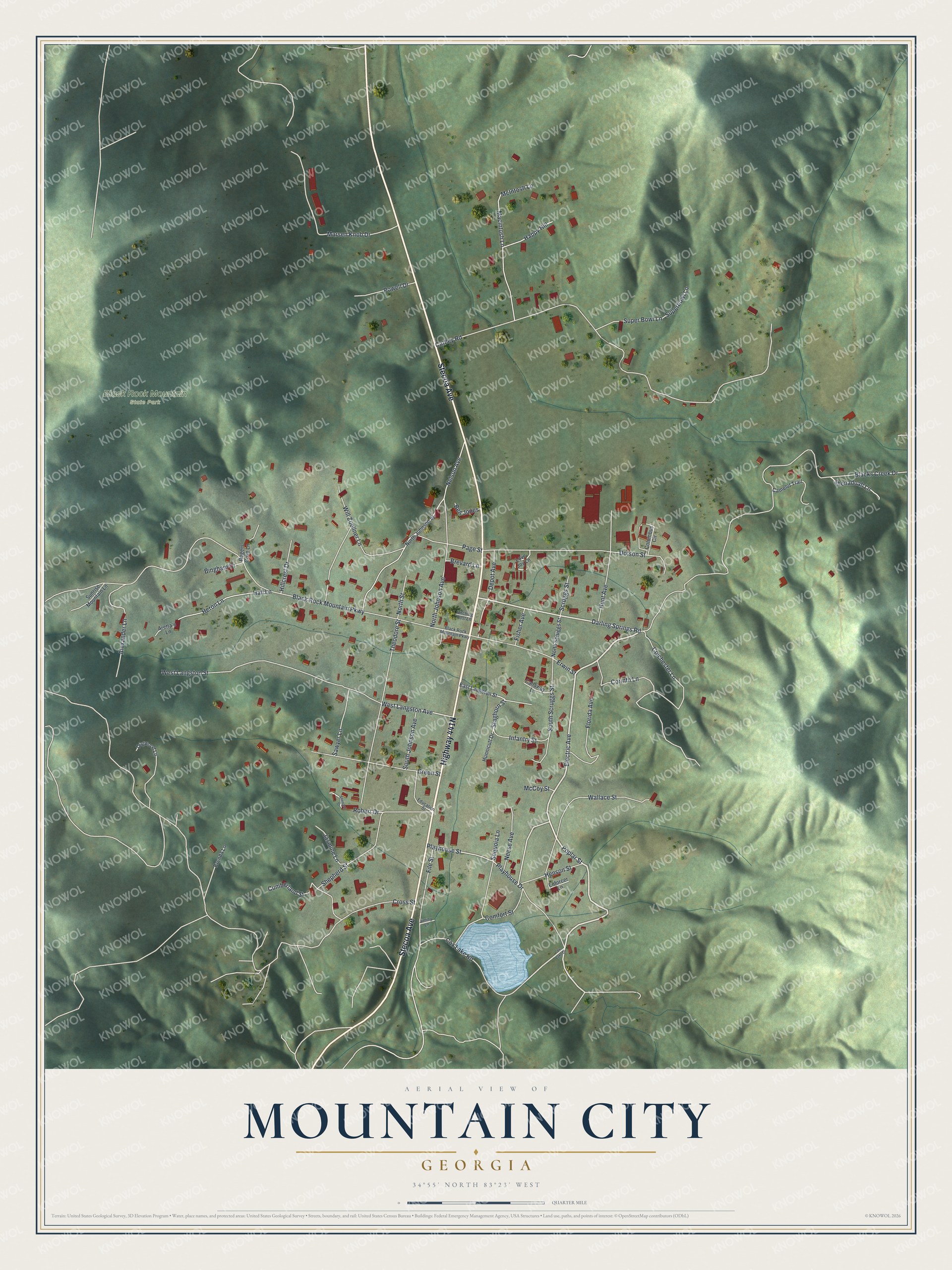
This beautifully detailed map of Mountain City, Georgia was created in 2026 using aerial imagery combined with modern topographical, census, street and landmark data. It’s a one-of-a-kind view of Mountain City that combines accurate data with a vintage aesthetic. The map shows every building in its true location, many of the roads carry their names, and the shaded topographic relief shows the shape of the land.
Explore an aerial view of Mountain City, Georgia
On the map you’ll find Black Rock Mountain State Park, along with Stecoa Avenue, Poplar Street, Cox Lake Road, Electric Avenue, Playhouse Street, and more. If you look closely you can even find your house accurately drawn in its correct location. Zoom in on the preview to look for yours.
Did You Know?
Mountain City became a town in 1907 and was named for its high elevation. The Foxfire Museum and Heritage Center opened in 1974 on the town’s Black Rock Mountain. The museum of Appalachian culture holds log buildings from the 1800s, among them old cabins and a working blacksmith shop.
Take a closer look at the Mountain City map
Names on this map
These names are printed on this map.
Places: Black Rock Mountain State Park.
Streets and roads: Stecoa Avenue, Poplar Street, Cox Lake Road, Electric Avenue, Playhouse Street, Darling Springs Road, West Langston Avenue, Staghorn Street, Cathey Road, Blacks Creek Drive, Black Rock Mountain Parkway, Nelson Avenue.
More street names, A to Z
Alexander Lane, Aretta's Lane, Bell Jones, Bingham Drive, Brenda Lane, Brevard Lane, Callaway Lane, Camelot Trail, Colchester Lane, Columbus Circle, Comfort Street, Corinth Lane, Cox Lake Drive, Cross Street, Cumberland Street, Depot Avenue, Dogwood Lane, Dotson Street, East Langston Street, Education Street, Enforcer Lane, Erwin Street, File Street, Fisher Avenue, Florida Avenue, Green Street, Hall Lane, Happy Hill, Henson Street, Heron Lane, Hillcrest Drive, Hitching Post Lane, Hunnicutt Drive, Hunt Avenue, Infantry Street, Jasmine Lane, Jiminy Lane, Love Joy Lane, Macintosh Lane, Marsen Knob Drive, McCoy Street, McIntosh Lane, Neese Avenue, North Johnson Avenue, North Johnson Street, North Scruggs Street, North Street, Page Street, Playhouse Drive, Powell Drive, Robert Drive, Rogers Cove Lane, Sawyer Lane, Scruggs Street, Sequoia Lane, Shenadoah Lane, Shepard Street, Shepherd Street, South Johnson Avenue, South Scruggs Street, Sunrise Mountain Lane, Super Bowl Lane, Superbowl Lane, Theodore Street, Wallace Street, West Langston Street, Will Zoellner Lane.
See it on a wall
The Mountain City map as a framed print. Swipe for more.


This beautifully detailed map of Mountain City makes an attractive addition to your office, library, or den, and it can even be used to teach children the geography and history of the area. It also makes a great gift for anyone who grew up in Mountain City or moved away. When you’re done exploring, click here to get your copy of the Mountain City map.