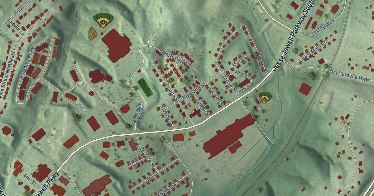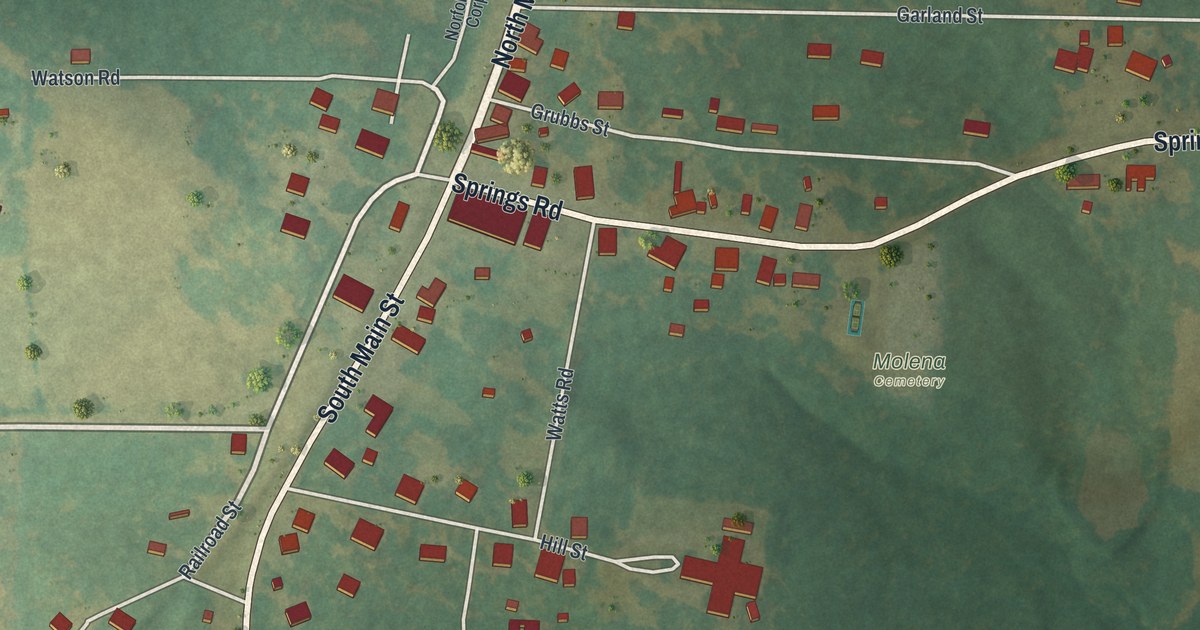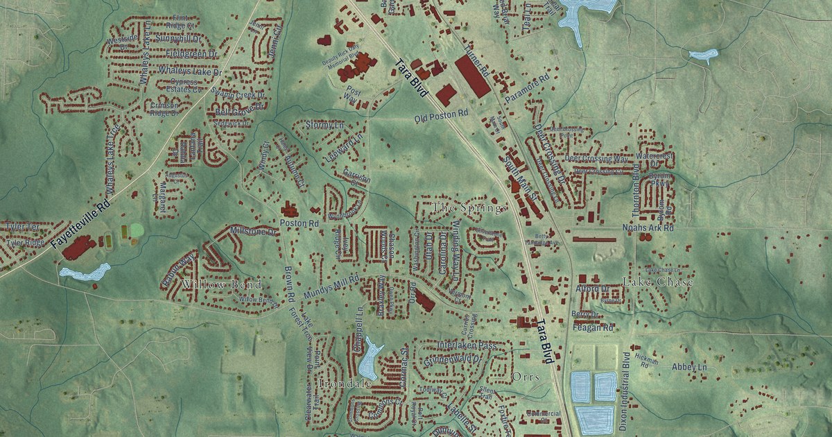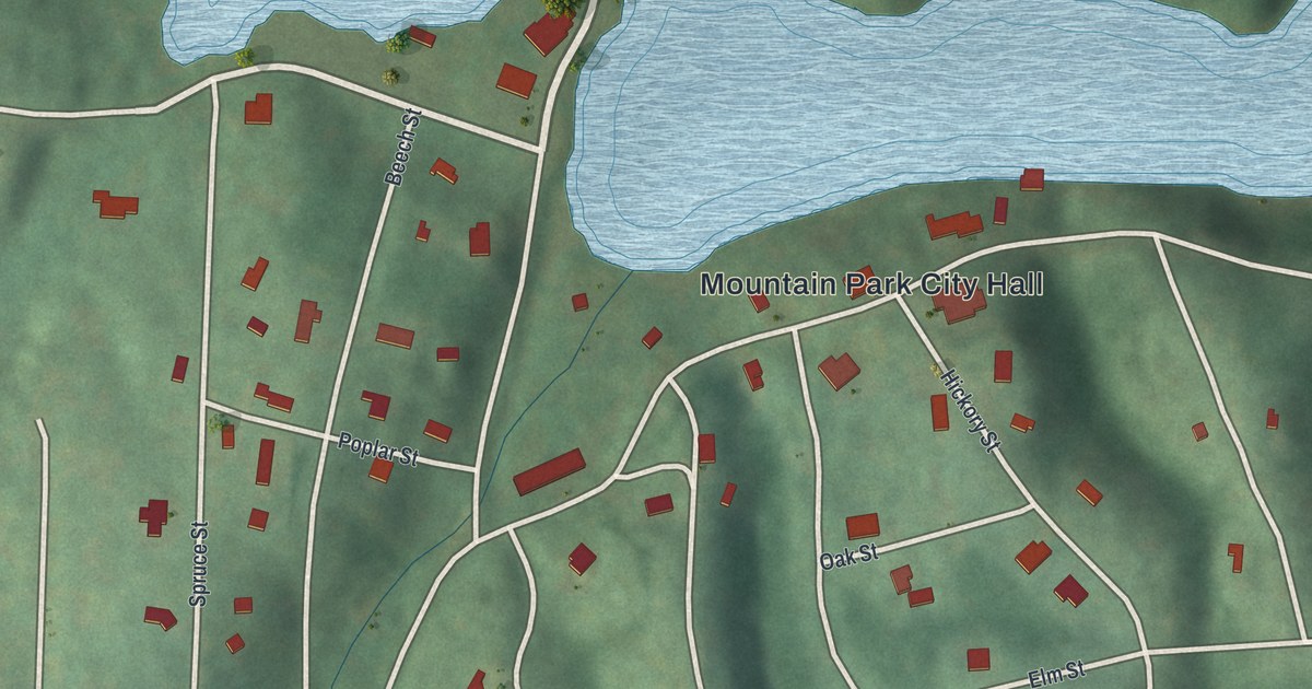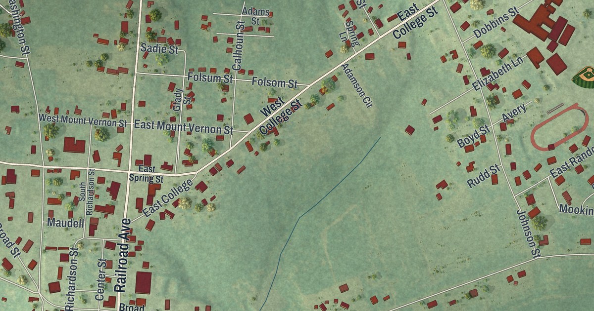
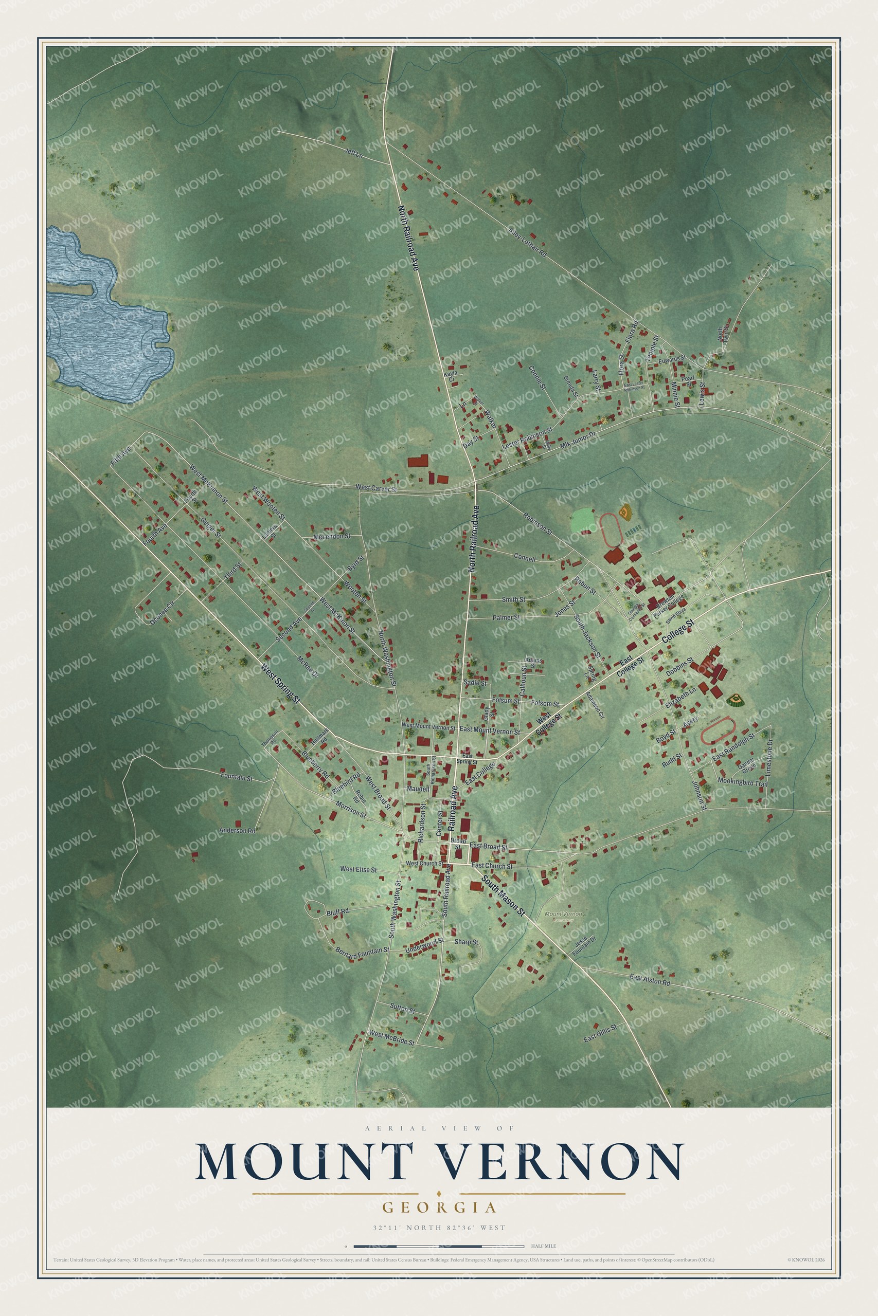
This beautifully detailed map of Mount Vernon, Georgia was created in 2026 using aerial imagery combined with modern topographical, census, street and landmark data. It’s a one-of-a-kind view of Mount Vernon that combines accurate data with a vintage aesthetic. The map shows every building in its true location, many of the roads carry their names, and the shaded topographic relief shows the shape of the land.
Explore an aerial view of Mount Vernon, Georgia
On the map you’ll find Railroad Avenue, Mason Street, College Street, Spring Street, Broad Street, and more. If you look closely you can even find your house accurately drawn in its correct location. Zoom in on the preview to look for yours.
Did You Know?
The town was founded in 1797. It took its name from Mount Vernon, the home of George Washington. In 1813 it became the seat of Montgomery County. Before that, the county’s seat had been the plantation of Arthur Lott.
Take a closer look at the Mount Vernon map
Names on this map
These names are printed on this map.
Places: Mount Vernon Cemetery.
Streets and roads: Railroad Avenue, South Mason Street, College Street, West Spring Street, North Railroad Avenue, South Railroad Avenue, East Broad Street, West McBride Street, West McKinon Street, West McKinnon Street, Robinson Street, Morrison Street.
More street names, A to Z
Adamson Circle, Adams Street, Ailey-Lothair Road, Anderson Road, Avery, Bernard Fountain Street, Blueberry Road, Bluebird Road, Bluff Road, Boyd Street, Brenda Street, Brewton Parker College, Broad Street, Byrd Street, Calhoun Street, Center Street, Connell, Connie Street, David Ebiza, Day Street, Dobbins Street, East Alston Road, East Church Street, East College, East College Street, East Gillis Street, East Lester Robinson Street, East Mount Vernon Street, East Randolph Street, East Spring Street, Edwards Street, Elizabeth Lane, Fifth Avenue, Flora Road, Flora Street, Folsom Street, Folsum Street, Fountain Street, Fourth Avenue, Fourth Street, Gander Green, Geiger Street, Georgia Connector Street, Glady Street, Hallmark Road, Jeff Lane, Jesse Fountain Drive, Johnson Street, Jones Street, Kayla Cr, Lane, Laniers Street, Larry Street, Lester Robinson Street, Lewis Street, Limestone Drive, Maudell, McLendon Street, McRae Drive, Minnie Street, Mlk Junior Drive, Mookingbird Trail, North Twin Street, North Washington Street, Oconee Circle, Palmer Street, Pearl Street, Rabun Street, Richardson Street, Robin Road, Rudd Street, Sadie Street, Second Avenue, Second Street, Sharp Street, Smith Street, South Jackson Street, South Richardson Street, South Washington Street, Spring Lane, Sutton Street, Temple Street, Third Street, Thompson Road, Underwood Street, Walker, Walker Street, West Broad Street, West Carver Street, West Church Street, West College Street, West Elise Street, West Mount Vernon Street, West Wooten Street, Willy Street, Wooten Street.
See it on a wall
The Mount Vernon map as a framed print. Swipe for more.


This beautifully detailed map of Mount Vernon makes an attractive addition to your office, library, or den, and it can even be used to teach children the geography and history of the area. It also makes a great gift for someone who left Mount Vernon and still calls it home. When you’re done exploring, click here to get your copy of the Mount Vernon map.