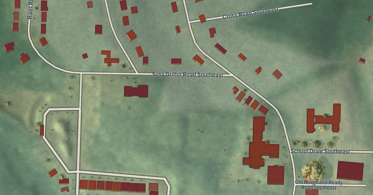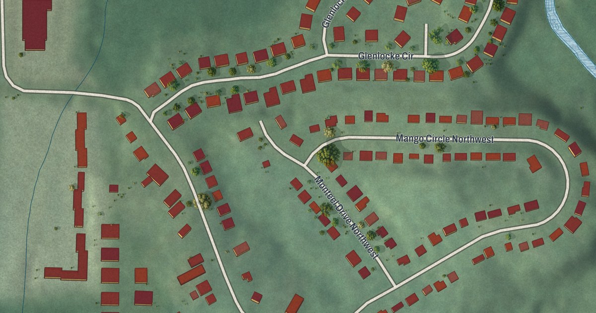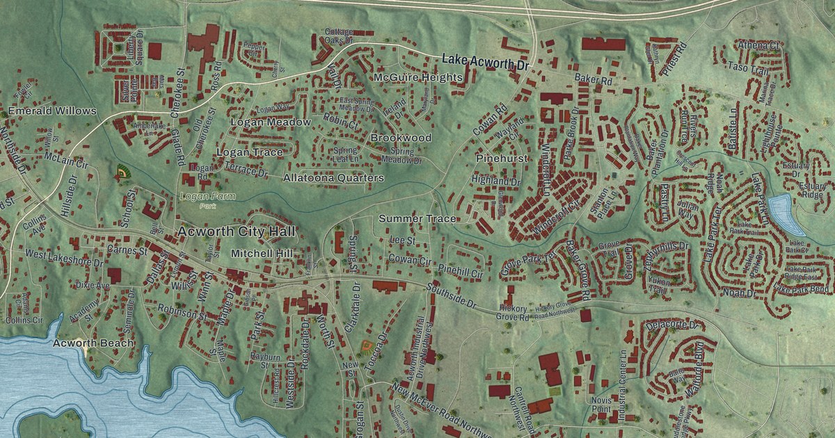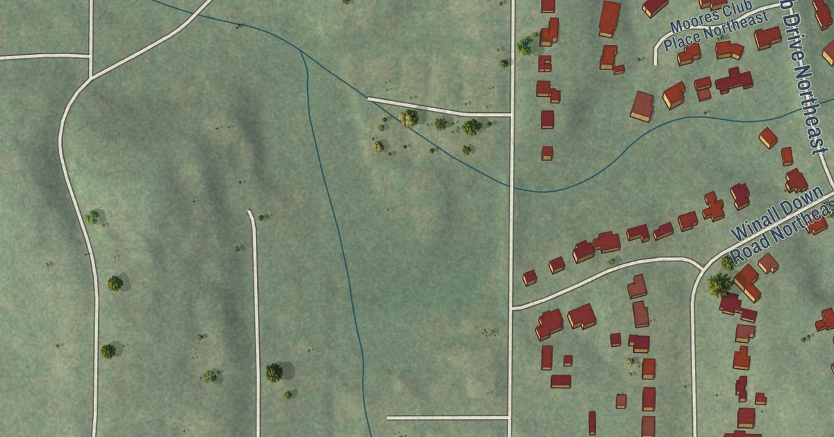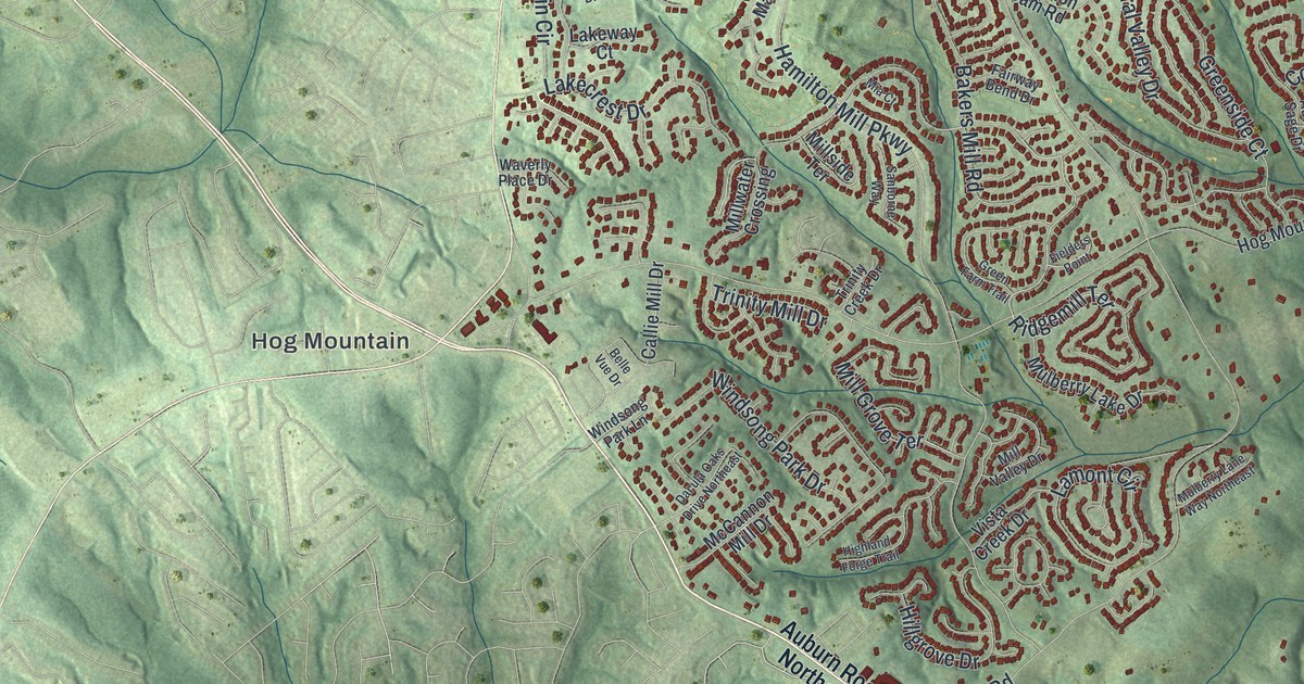
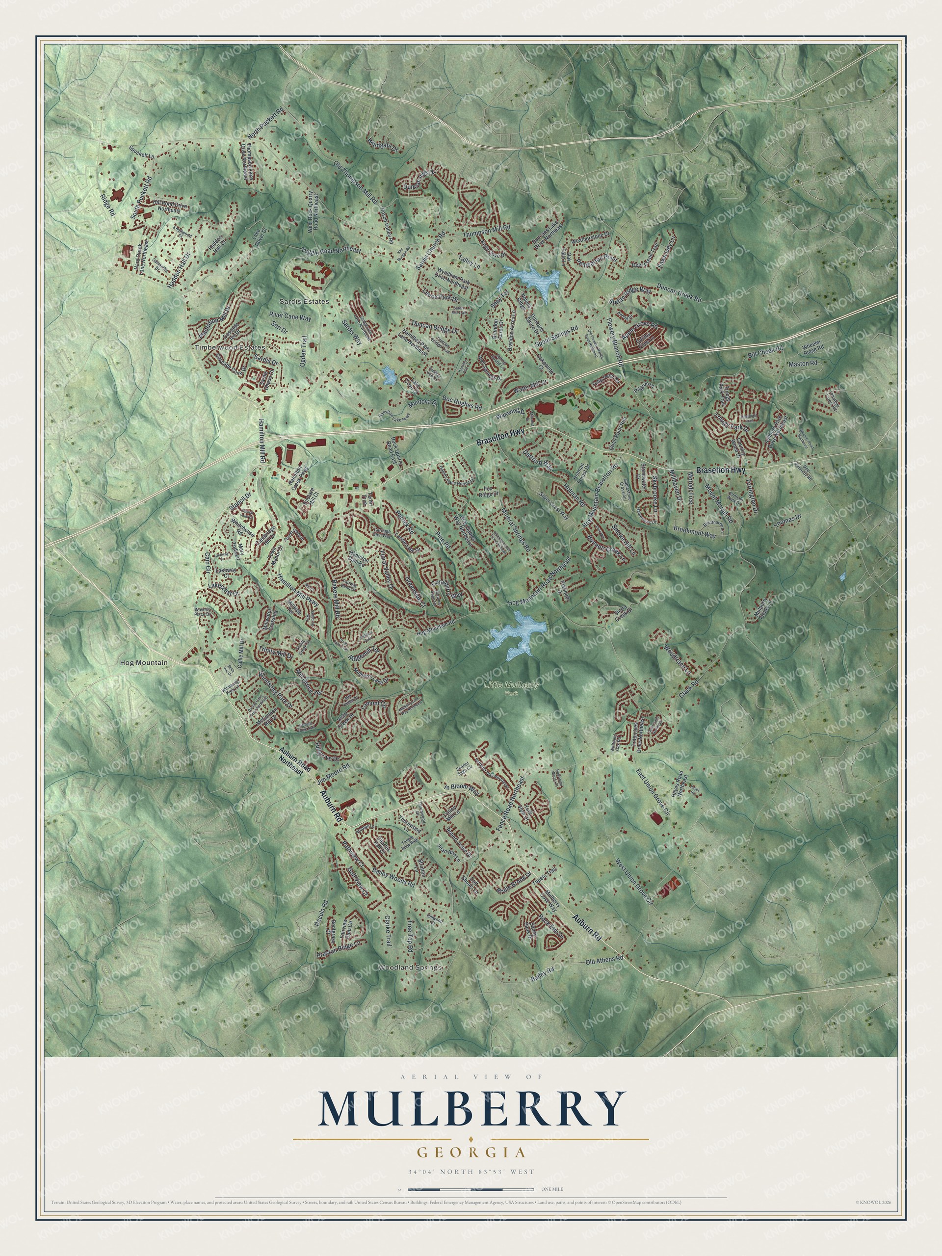
This beautifully detailed map of Mulberry, Georgia was created in 2026 using aerial imagery combined with modern topographical, census, street and landmark data. It’s a one-of-a-kind view of Mulberry that combines accurate data with a vintage aesthetic. The map shows every building in its true location, many of the roads carry their names, and the shaded topographic relief shows the shape of the land.
Explore an aerial view of Mulberry, Georgia
On the map you’ll find Woodland Springs, Hog Mountain, and Little Mulberry Park, along with Braselton Highway, Auburn Road, Hamilton Mill Road, Spout Springs Road, Windgate Drive, and more. If you look closely you can even find your house accurately drawn in its correct location. Zoom in on the preview to look for yours.
Did You Know?
Mulberry is one of the newest cities in Georgia. Voters approved cityhood on May 21, 2024, with 56.96 percent in favor. The city was set up so it would never have a millage rate. It began operating on January 1, 2025, with Michael Coker as its first mayor.
Take a closer look at the Mulberry map
Names on this map
These names are printed on this map.
Places: Woodland Springs, Hog Mountain, Timberwood Estates, Sardis Estates and Little Mulberry Park.
Streets and roads: Braselton Highway, Auburn Road, Hamilton Mill Road, Spout Springs Road, Windgate Drive, Hamilton Mill Parkway, Ridgemill Terrace, Thomas Drive, North Puckett Road, Thompson Mill Road, Fence Road Northeast, Jim Moore Road.
More street names, A to Z
Abbott Drive, Addison Walk Drive, Apple Grove Road, Ashbury Park Drive Northeast, Auburn Road Northeast, Autumn Sage Drive, Bailey Road, Bailey Woods Road, Bakers Mill Road, Belle Vue Drive, Bentgrass Court, Bill Cheek Road, Bonnett Creek Lane, Brandon Acres Drive, Brandon Acres Lane, Branthaven Lane, Bridle Brook Drive, Brookmont Way, Cactus Cove Lane, Cain Circle, Callie Mill Drive, Cambridge Hill Drive, Carriage Glen Way, Cascade Cove Drive, Cascade Ive Drive, Charles Hall Drive, Chateau Forest Road, Clack Road, Clarke Trail, Colt Shoals Lane, Coralberry Way, Country Wood Drive, Dacula Oaks Drive Northeast, Dacula Road, Dartford Way, Dee Kennedy Road, Deer Creek Trail, Doc Hughes Road, Duncan Bridge Drive, Duncan Bridge Trail, Duncan Creek Road, Duncan Ives Drive, Duncans Lake Drive Northeast, Duncans Shore Drive, Duran Lane Northeast, East Union Grove Circle, Elvie Way, Enclave Mill Court, Fairview Club Circle, Fairway Bend Drive, Fawn Ivey Lane, Fielders Point, Floral Valley Drive, Flowery Branch Road, Forest Vista Drive, Fox Ridge Drive, Gables Place Northeast, Gablestone Crossing, Gablestone Drive, Golf View Court, Gray Gables Way Northeast, Green Farm Trail, Greenside Court, Haddon Hall Court, Haddon Hall Drive, Hamilton Creek Parkway, Hamilton Dam Road, Hamilton Lake Parkway, Hamilton Parc Lane, Hamilton Parc Lane Northeast, Hamilton Walk Drive, Hard Creek Lane Northeast, Hayes Road, Hayes Road Northeast, Heartland Trail, Highland Forge Trail, Hillgrove Drive, Hill Pond Drive Northeast, Hillwood Court, Hog Mountain Braselton Road, Hog Mountain Road, Hog Mountain Road Northeast, Holcombe Woods Court, Holman Forest Drive, Holman Road, Hosch Valley Road, Huntington Hill Trce Northeast, In Bloom Way, Jean Ann Lane, Kay Morgan Road, Kelly Cove Drive, Knollwood Court, Lake Cove Court, Lakecrest Drive, Lake Dover Drive, Lakeway Court, Lakeway Drive, Lamont Circle, Lantern Hill Drive, Lenox Park Drive, Lynley Mill Lane, Mantova Drive, Mary Todd Lane, Maston Road, McCannon Mill Drive, Mia Court, Millcrest Drive, Mill Grove Terrace, Millhaven Drive, Millside Terrace, Mill Valley Drive, Millwater Crossing, Mineral Springs Road, Moriah Trce, Mount Moriah Road, Mulberry Cove Way, Mulberry Fields Lane, Mulberry Lake Drive, Mulberry Lane Way Northeast, Nolans Ridge, Oak Falls Lane, Oakpointe Court, Ogden Trail, Old Athens Road, Old Flowery Branch Road Northeast, Old Thompson Mill Road, Pathview Court, Patrick Road, Pemberton Point, Pilgrim Lane, Pine Road, Plantation Mill Drive, Platinum Drive, Preston Ridge Lane, Quail Point Run, Ridge Road, River Cane Way, Robert Jesse Drive, Rock Elm Drive, Rock Quarry Road East, Samantha Drive, Sanborne Way, Sandy Bank Drive, Sardis Chase Court, Sardis Church Road, Sardis Drive, Sardis Mill Trail, Sardis Way, Scarlet Sage Circle, Sedgeview Lane Northeast, Shay Terrace, Sierra Creek Drive, Silver Crest Way, Skybrooke Lane, Smoke Hill Lane, Sori Drive, South Puckett Road, Spring Sound Lane, Spuckett Lane, Stancil Drive, Stancil Point Drive, Stefan Ridge Way, Stonewater Drive, Stratton Lane, Talley Lane, Tangle Blew Path, Teron Trce, Thompson Lake Drive Northeast, Thornwood Drive, Thornwood Lane, Torrington Drive, Town Manor Court, Tree Top Road, Trilogy Park Drive, Trilogy Park Trail, Trinity Creek Drive, Trinity Mill Drive, Triton Ives Drive Northeast, Tuggle Road Northeast, Tulip Petal Road, Tupelo Trail, Verbena Way Northeast, Vista Creek Drive, Wadley Lane, Water Mill Drive, Waverly Place Drive, Waxwing Street, Weatherstone Drive, Well Springs Drive, West Rock Quarry Road Northeast, West Union Grove Circle, Wheeler Ridge Road, Wheeler Road Northeast, Whitehouse Road, Whitfield Oak Road, Windsong Park Drive, Windsong Park Lane, Woodtrace Lane, Wyndham Park Drive Northeast, York View Drive.
See it on a wall
The Mulberry map as a framed print. Swipe for more.


This beautifully detailed map of Mulberry makes an attractive addition to your office, library, or den, and it can even be used to teach children the geography and history of the area. It also makes a great gift for someone who left Mulberry and still calls it home. When you’re done exploring, click here to get your copy of the Mulberry map.