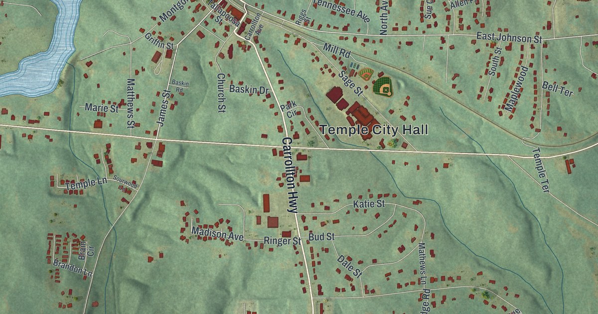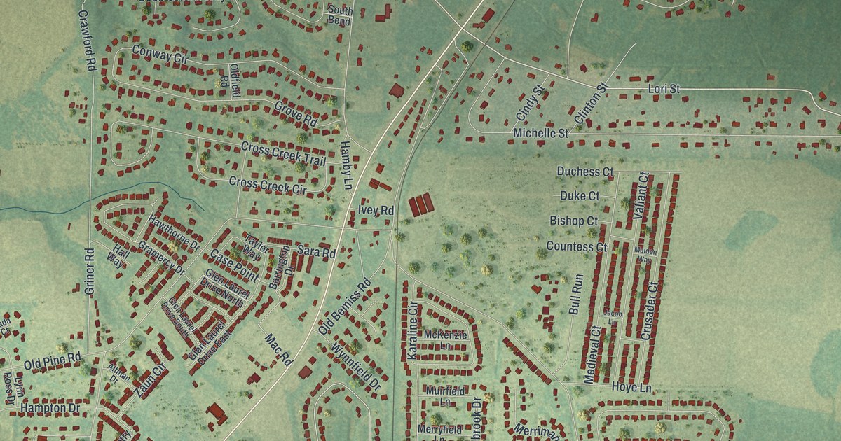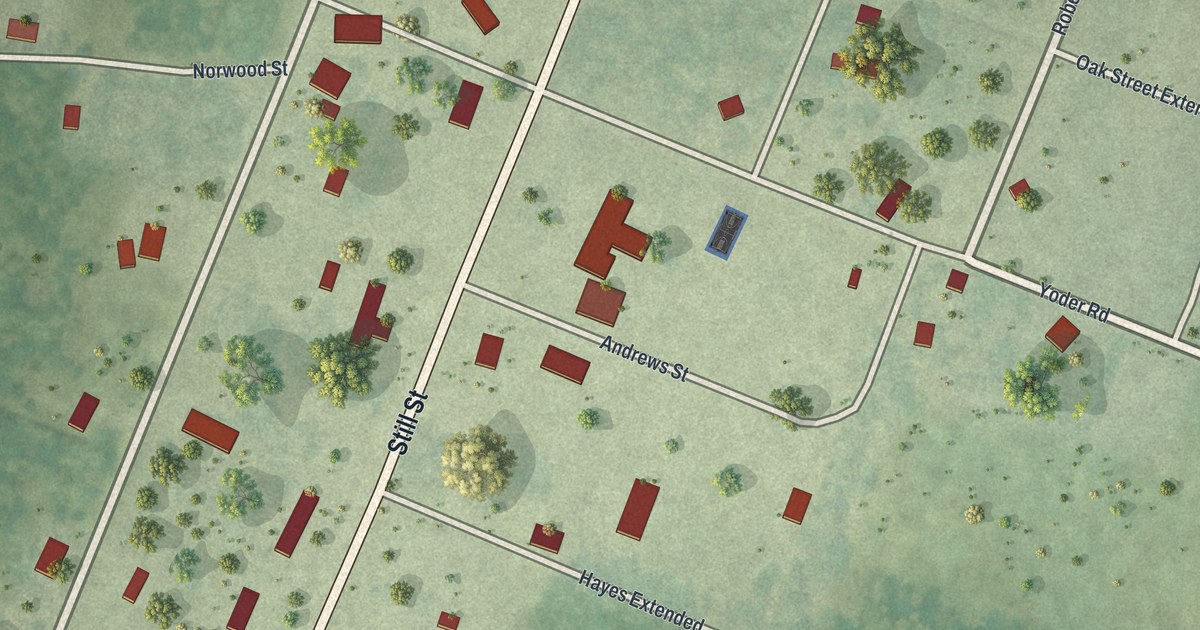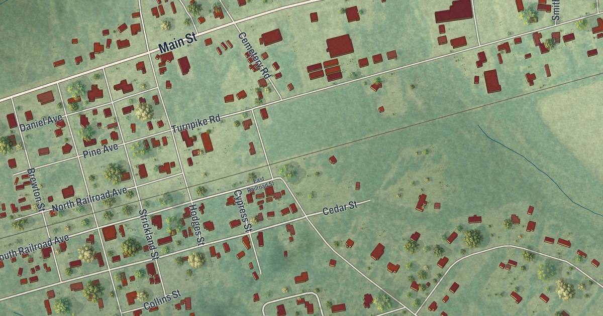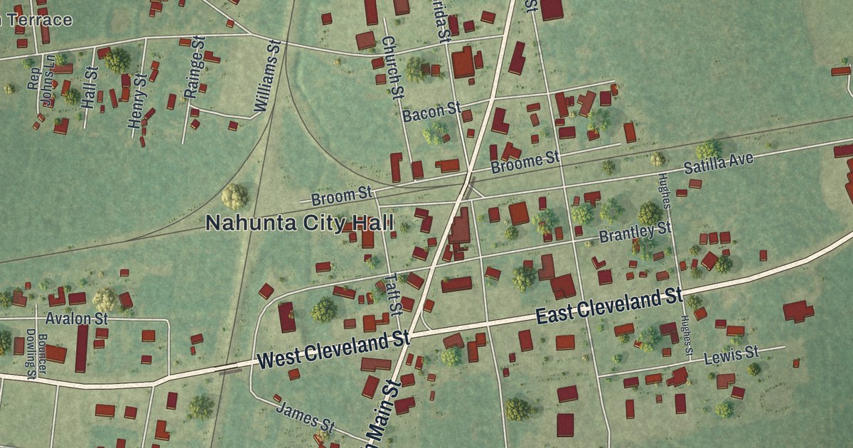
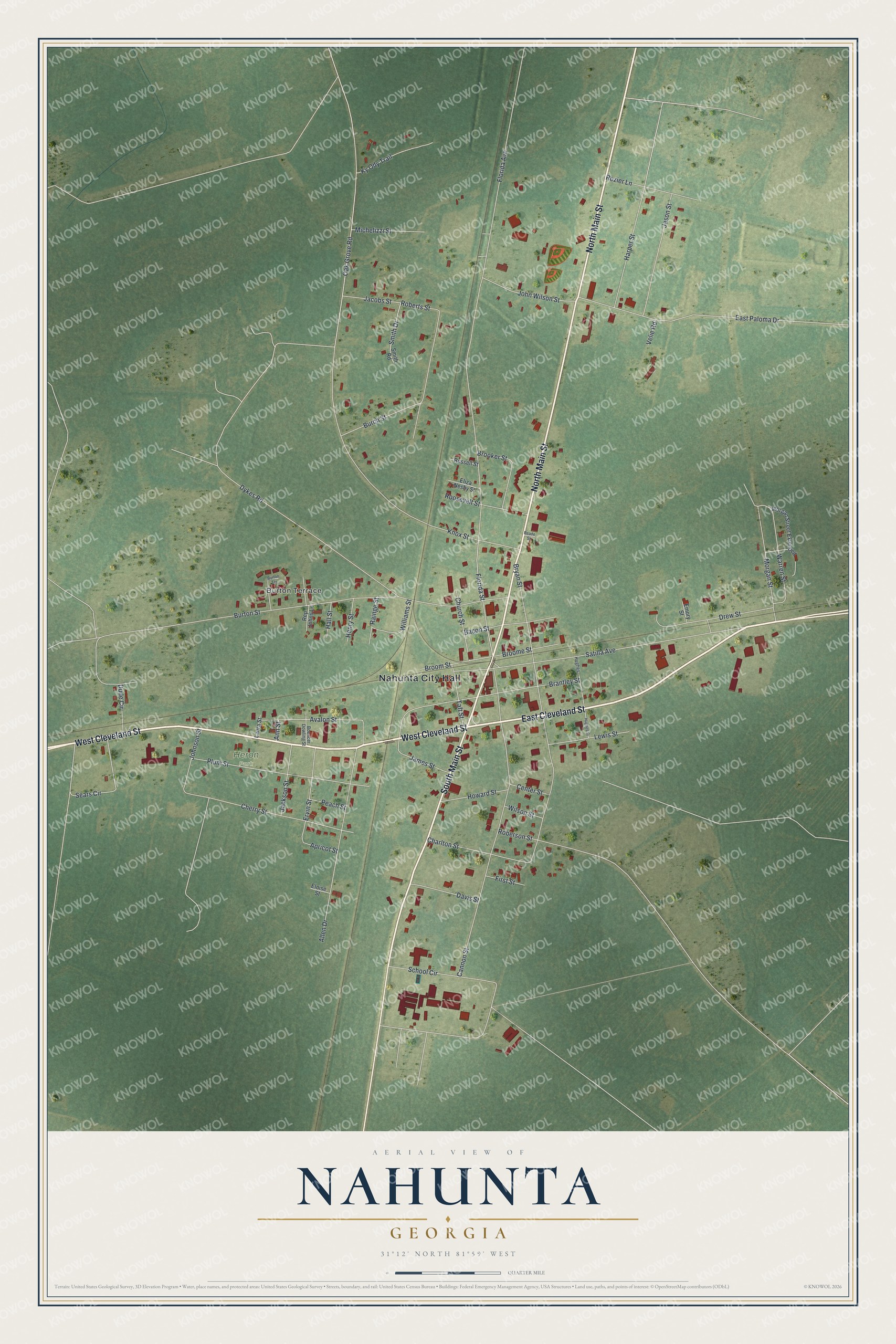
This beautifully detailed map of Nahunta, Georgia was created in 2026 using aerial imagery combined with modern topographical, census, street and landmark data. It’s a one-of-a-kind view of Nahunta that combines accurate data with a vintage aesthetic. The map shows every building in its true location, many of the roads carry their names, and the shaded topographic relief shows the shape of the land.
Explore an aerial view of Nahunta, Georgia
On the map you’ll find Nahunta City Hall and Heron Park, along with Cleveland Street, Main Street, Knox Street, Florida Avenue, Burton Terrace, and more. If you look closely you can even find your house accurately drawn in its correct location. Zoom in on the preview to look for yours.
Did You Know?
In the late 1970s and early 1980s, Nahunta drew national attention for its armadillo festival. The event was held on the first weekend in May. It featured the Brantley County Armadillo Olympics. A cookout put the animal at the top of the menu.
Take a closer look at the Nahunta map
Names on this map
These names are printed on this map.
Places: Nahunta City Hall, Burton Terrace and Heron Park.
Streets and roads: West Cleveland Street, East Cleveland Street, North Main Street, South Main Street, Knox Street, Florida Avenue, Cannon Street, Bryan Street, Burton Street, Satilla Avenue, East Paloma Drive, Dykes Road.
More street names, A to Z
Allen Drive, Ann Street, Apricot Street, Avalon Street, Bacon Street, Bouncer Dowling Street, Brantley Street, Brooker Street, Broome Street, Broom Street, Burch Street, Center Street, Charlton Street, Cherry Street, Church Street, Davis Street, Drew Street, Dude Circle, Eliza Nesby Street, Eloise Street, Emory Street, Ervin Street, First Street, Florida Street, Hall Street, Harper Street, Henry Street, Howard Street, Hughes, Hughes Street, Jackson Street, Jacobs Street, James Street, Jason Street, Johnson Street, John Wilson Street, Ky Ody Trail, Laura Street, Lewis Street, Michelizzi Street, Morgan Street, Morgan Street Extended, Oak Grove Road, Peach Street, Plum Street, Rainge Street, Reade Street, Rep Johns Lane, Roberson Street, Roberts Street, Roosevelt Street, Rozier Lane, Russell Street, School Circle, Sears Circle, Smith Drive, Smith Road, Taft Street, Velie Road, Warren Street, Williams Street, Wilson Street.
See it on a wall
The Nahunta map as a framed print. Swipe for more.


This beautifully detailed map of Nahunta makes an attractive addition to your office, library, or den, and it can even be used to teach children the geography and history of the area. It also makes a great gift for anyone with Nahunta roots. When you’re done exploring, click here to get your copy of the Nahunta map.