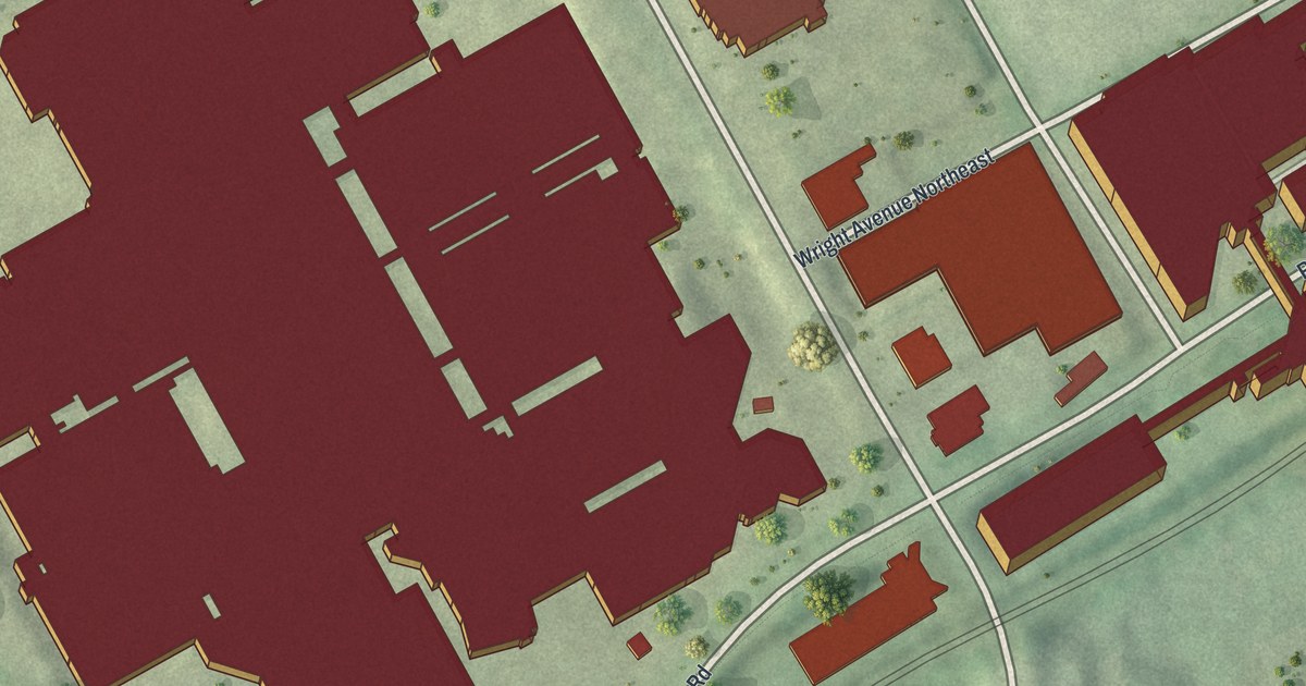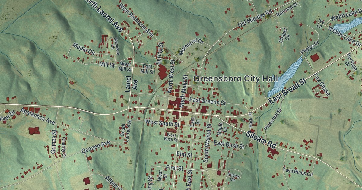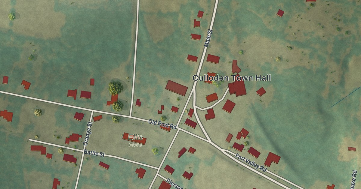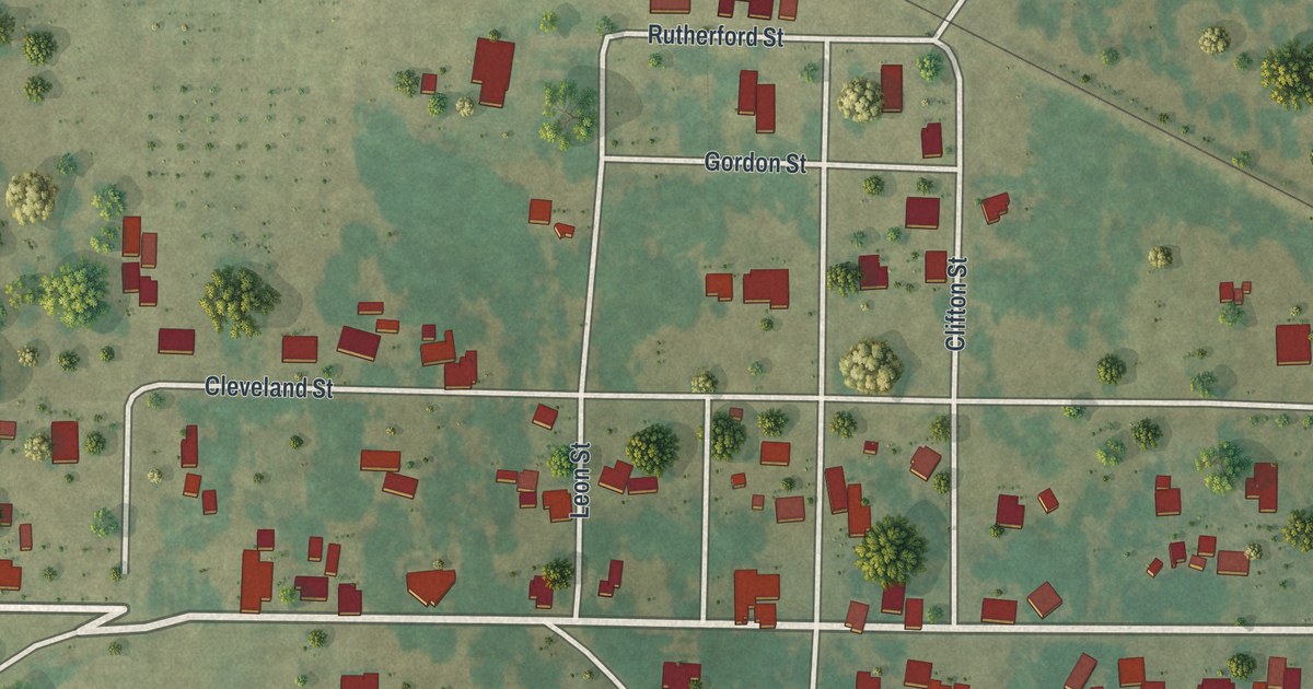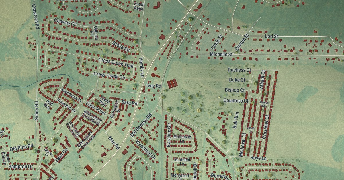
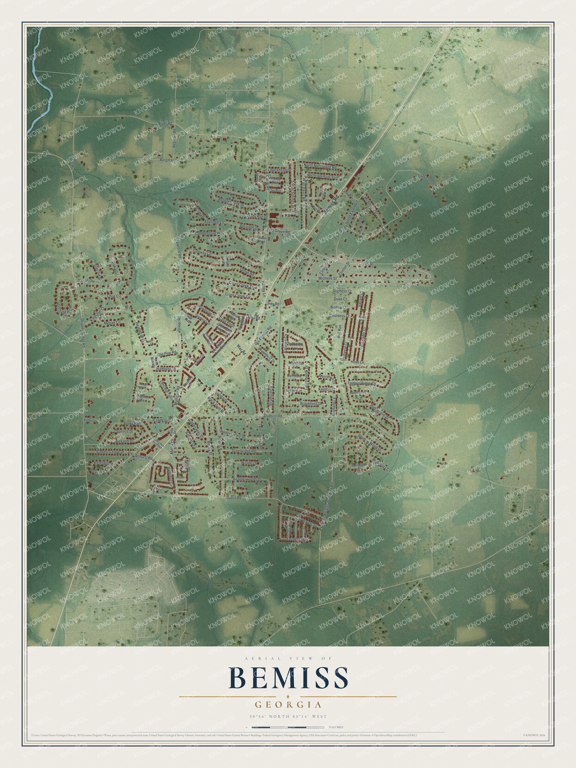
This beautifully detailed map of Bemiss, Georgia was created in 2026 using aerial imagery combined with modern topographical, census, street and landmark data. It's a modern aerial view of Bemiss in Lowndes County, Georgia, that combines modern data with a vintage aesthetic. The roads feature printed names, and if you look closely you can find your exact house accurately shown in its correct location.
Explore an aerial view of Bemiss, Georgia
On this map you'll find Bemiss Road, Lori Street, Pine Grove Road, Skipper Bridge Road, Laurelbrook Drive, Stratford Circle, Studstill Road, Bemiss Knights Academy Road, Old Pine Road, Guest Road, River Road, Oxbottom Drive, and more. Each red shape is a building, so zoom in on the preview and look for yours.
Here is a piece of Bemiss history. Doc Holliday, the Georgia native who became famous in the Old West and a lifelong friend of Wyatt Earp, moved with his family to Bemiss in 1864. The family later moved on to Valdosta, about seven miles away, where he attended the Valdosta Institute. His father, Henry Burroughs Holliday, served in the Civil War as a major in the Twenty-seventh Georgia Infantry. That's from the New Georgia Encyclopedia.
Bemiss is a community in Lowndes County. The Census Bureau counted 8,999 people here in 2020. Bemiss sits about 3 miles southwest of Moody AFB, 7 miles northeast of Valdosta and 8 miles northeast of Remerton. The map prints the town name in its title panel, with the coordinates below it.
Take a closer look at the Bemiss map
Names on this map
These names are printed on this map.
Streets and roads: Bemiss Road, Lori Street, Pine Grove Road, Skipper Bridge Road, Laurelbrook Drive, Stratford Circle, Studstill Road, Bemiss Knights Academy Road, Old Pine Road, Guest Road, River Road, Oxbottom Drive.
More street names, A to Z
Alpharetta Court, Altman Drive, Ashurst Drive, Ashurst Road, Barrington Drive, Becky Street, Big Buck Circle, Bishop Court, Black Gum Drive, Bowen Way, Briar Ridge Circle, Brookfield Drive, Buckhead Drive, Bull Run, Burgman Lane, Burkardt Drive, Butler Woods Drive, Calijo Court, Case Point, Cat Creek Road, Cattle Crossing, Cherokee Trail, Chris Circle, Cindy Road, Cindy Street, Cindy Street Extended, Clay Drive, Clinton Street, Cobblestone Way, Conway Circle, Countess Court, Coventry Drive, Cranston Circle, Crawford Road, Cross Creek Circle, Cross Creek Trail, Crusader Court, Darian Drive, Dinky Run, Dinky Run Extended, Duchess Court, Duke Court, Farmers Way, Foxridge Drive, Foxridge Lane, Glen Laurel Drive East, Glen Laurel Drive North, Glen Laurel Drive South, Gramercy Drive, Greenridge Road, Grey Oak Drive, Griner Road, Grove Road, Hall Way, Hamby Lane, Hamilton Circle, Hampton Drive, Hanover Lane, Harvest Trail, Hawthorne Drive, Heather Way, Heatherwoods Drive, Hidden Hills Drive, Honeysuckle Drive, Hoye Lane, Hutchinson Lane, Ivey Road, Ivy Run, Jacob Lane, Karaline Circle, Kendall Court, Kentshire Drive, Kingston Court, Knights Court, Landeau Circle, Lillian Guest Circle, Liska Circle, Lynfield Lane, Lynn Ross Drive, Mac Road, Maiden Way, Manor Court, Mayfield Lane, McAllister Street, McKenzie Lane, Medieval Court, Megan Circle, Merriman Court, Merryfield Lane, Michelle Street, Muirfield Lane, Mulligan Road, Nada Court, Nicole Lane, North Northridge Road, Northridge Road South, Oak Rail Circle, Old Bemiss Road, Oldfield Road, Old Ivy Trce, Orchard Way, Pearl Davis Road, Pebble Creek Drive, Plaza Drive, Pondside Circle, Reed Road, Register Road, Ridgemere Drive, Rigby Circle, Robin Lane, Saddlebred Lane, Sandy Run Drive, Sandy Springs Drive, Sara Road, Shadow Wood Drive, South Bend, Spence Drive, Spruce Drive, Summerlin Drive, Summit Chase Drive, Taylor Way, Trotters Ridge Circle, Twin Springs Road, Valiant Court, Walstine Lane, Wiregrass Circle, Wood Hollow Circle, Wroxham Circle, Wynnfield Drive, Zaun Circle.
See it on a wall
The Bemiss map as a framed print. Swipe for more.


Created by KNOWOL in 2026. The buildings are small red shapes, the roads carry their printed names, and shaded relief shows the shape of the land. The title panel reads "AERIAL VIEW OF BEMISS, GEORGIA" with 30°56' NORTH 83°14' WEST.
It suits a den, a classroom or a front hall, and it makes a gift for anyone with Bemiss roots. Open the preview and find the block you know. See sizes and frames for the Bemiss map.