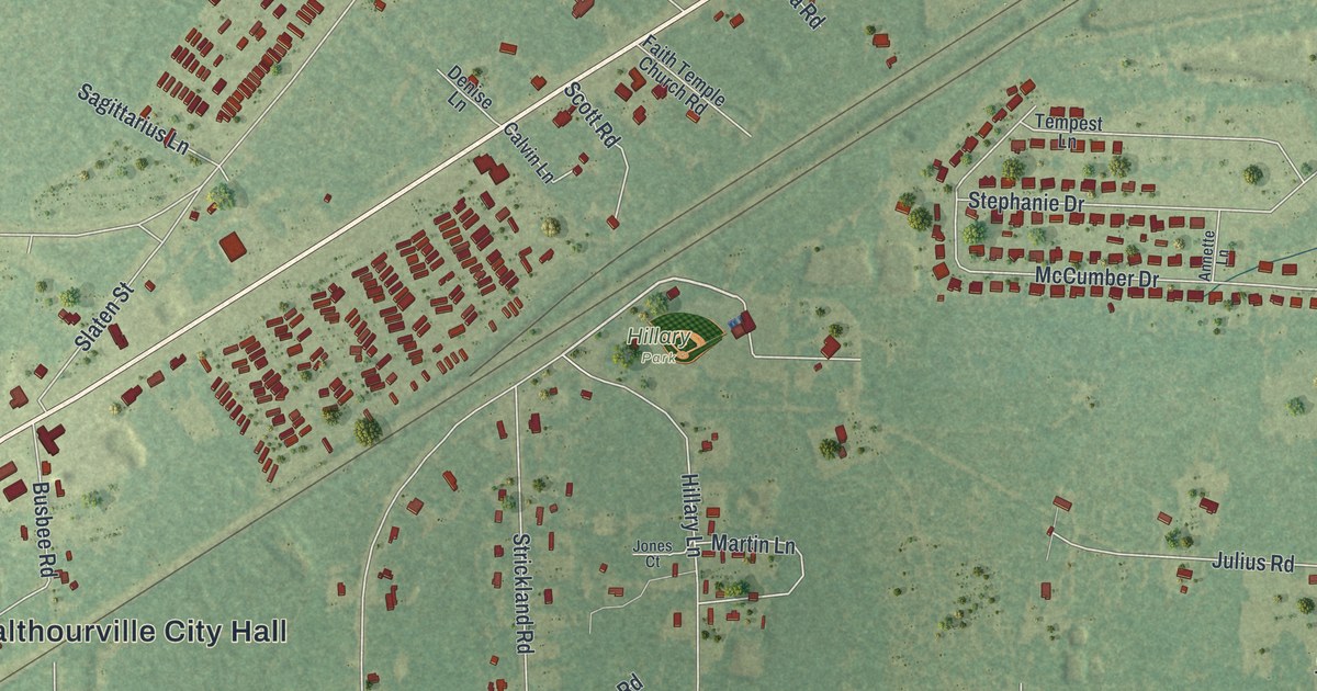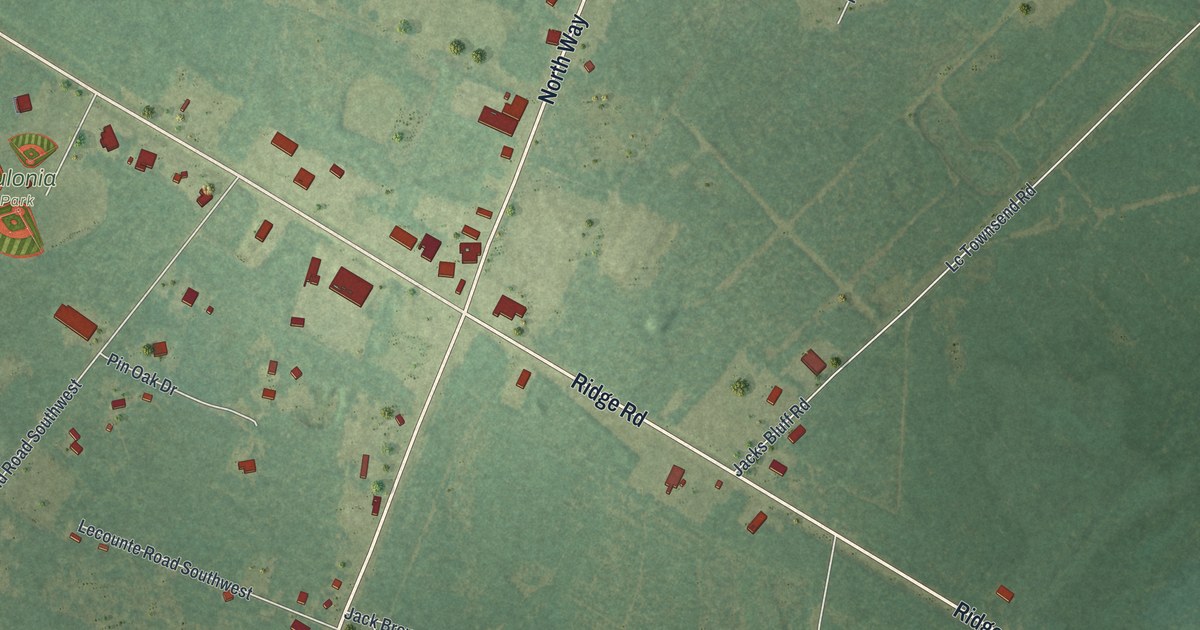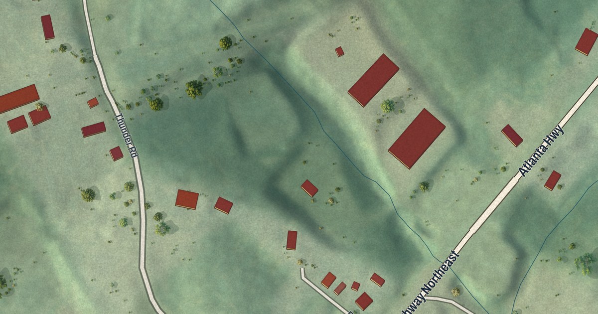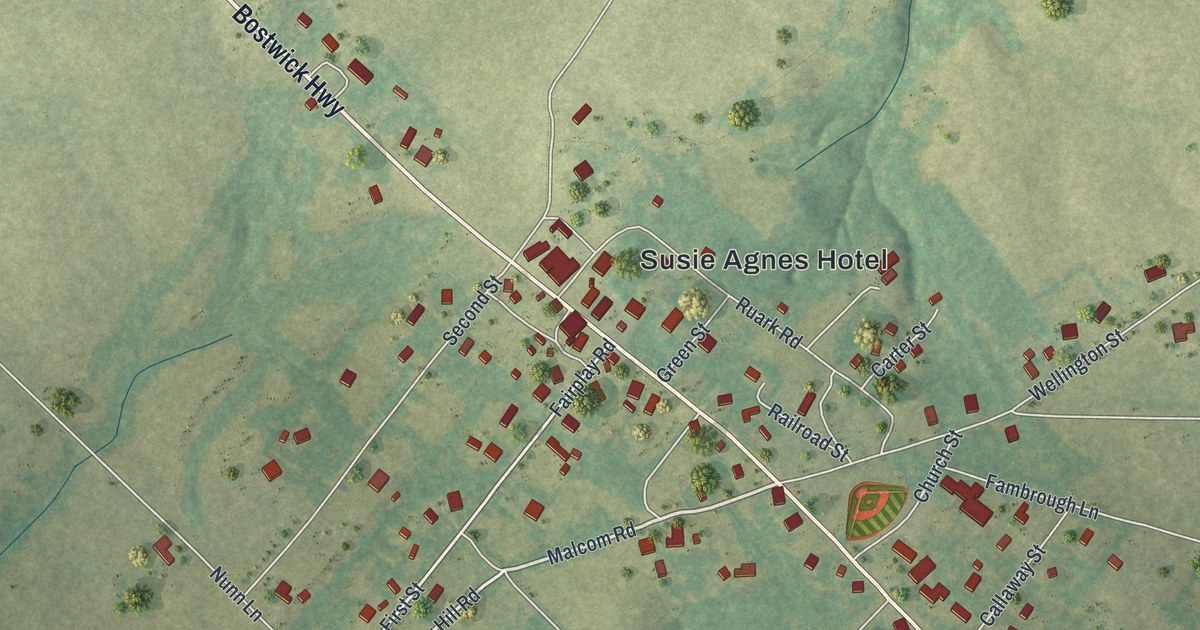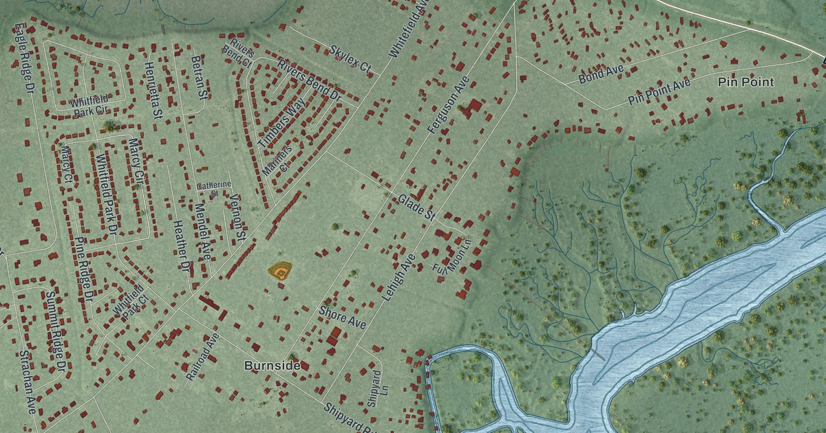
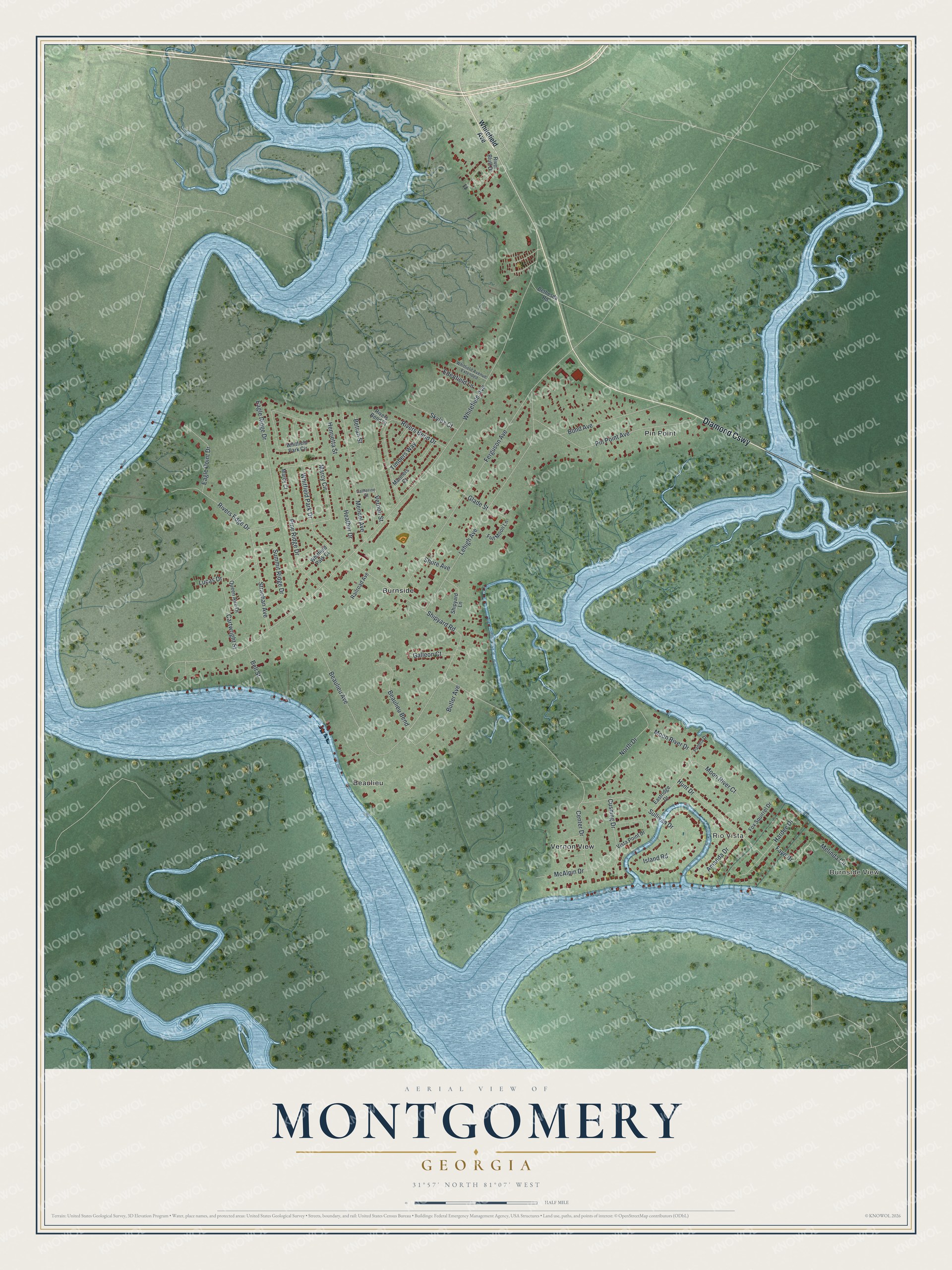
This beautifully detailed map of Montgomery, Georgia was created in 2026 using aerial imagery combined with modern topographical, census, street and landmark data. It's a modern aerial view of Montgomery in Chatham County, Georgia, that combines modern data with a vintage aesthetic. The roads feature printed names, and if you look closely you can find your exact house accurately shown in its correct location.
Explore an aerial view of Montgomery, Georgia
On this map you'll find Burnside View, Rio Vista, Pin Point, Beaulieu, Burnside, Vernon View, Diamond Cswy, Marcy Circle, Whitefield Avenue, Shipyard Road, Ferguson Avenue, Beaulieu Avenue, and more. Each red shape is a building, so zoom in on the preview and look for yours.
Here is a piece of Montgomery history. Montgomery, on the Vernon River, began as an early resort for people from the Savannah area. It was named for General Richard Montgomery, the Irish-born soldier of the Revolution who was killed at the siege of Quebec in 1775. The old community of Burnside, named for early settler James Burnside, is now part of Montgomery. Beaulieu, at the mouth of the Vernon River, was settled in 1739 by William Stephens, who served as the first president of Georgia. That's from the book Georgia Place-Names by Kenneth Krakow.
Montgomery is a community in Chatham County. The Census Bureau counted 4,443 people here in 2020.
Take a closer look at the Montgomery map
Names on this map
These names are printed on this map.
Places: Burnside View, Rio Vista, Pin Point, Beaulieu, Burnside and Vernon View.
Streets and roads: Diamond Causeway, Marcy Circle, Whitefield Avenue, Shipyard Road, Ferguson Avenue, Beaulieu Avenue, Lehigh Avenue, Pin Point Avenue, Whitfield Park Drive, Eagle Ridge Drive, Rivers Bend Drive, Mendel Avenue.
More street names, A to Z
Amanda Drive, Beaulieu Bend, Bell Street, Bethesda Road, Betran Street, Bond Avenue, Butler Avenue, Cartwright Street, Catherine Street, Center Drive, Cushing Drive, Eagle Point Drive, Eastridge Drive, Edenfield Lane, Faye Drive, Fox Squirrel Drive, Full Moon Lane, Galleon Court, Glade Street, Hardee Drive, Heather Drive, Henrietta Street, Hunt Drive, Island Road, Lucas Drive, Marcy Court, Mariners Court, McAlpin Drive, Melinda Circle, Moon River Court, Moon River Drive, North Drive, Pamela Drive, Pine Ridge Drive, Queen Aire Drive, Railroad Avenue, River Bluff Drive, Rivers Bend Court, Rivers Edge Drive, Shipyard Lane, Shore Avenue, Skylex Court, Strachan Avenue, Sullivan Drive, Summit Ridge Drive, Timbers Way, Vernon Street, Vista Point Drive, Whitfield Avenue Extended, Whitfield Park Circle, Whitfield Park Court.
See it on a wall
The Montgomery map as a framed print. Swipe for more.


Created by KNOWOL in 2026. The buildings are small red shapes, the roads carry their printed names, and shaded relief shows the shape of the land. The title panel reads "AERIAL VIEW OF MONTGOMERY, GEORGIA" with 31°57' NORTH 81°07' WEST.
It suits a den, a classroom or a front hall, and it makes a gift for anyone with Montgomery roots. Open the preview and find the block you know. See sizes and frames for the Montgomery map.