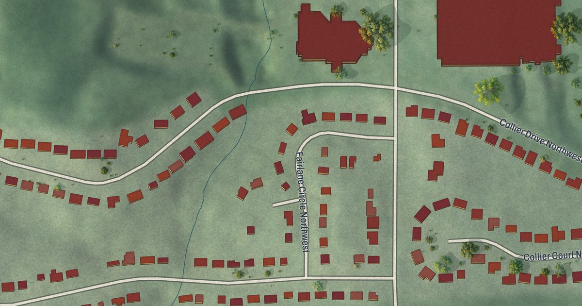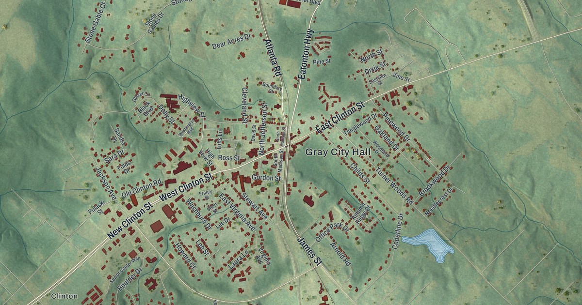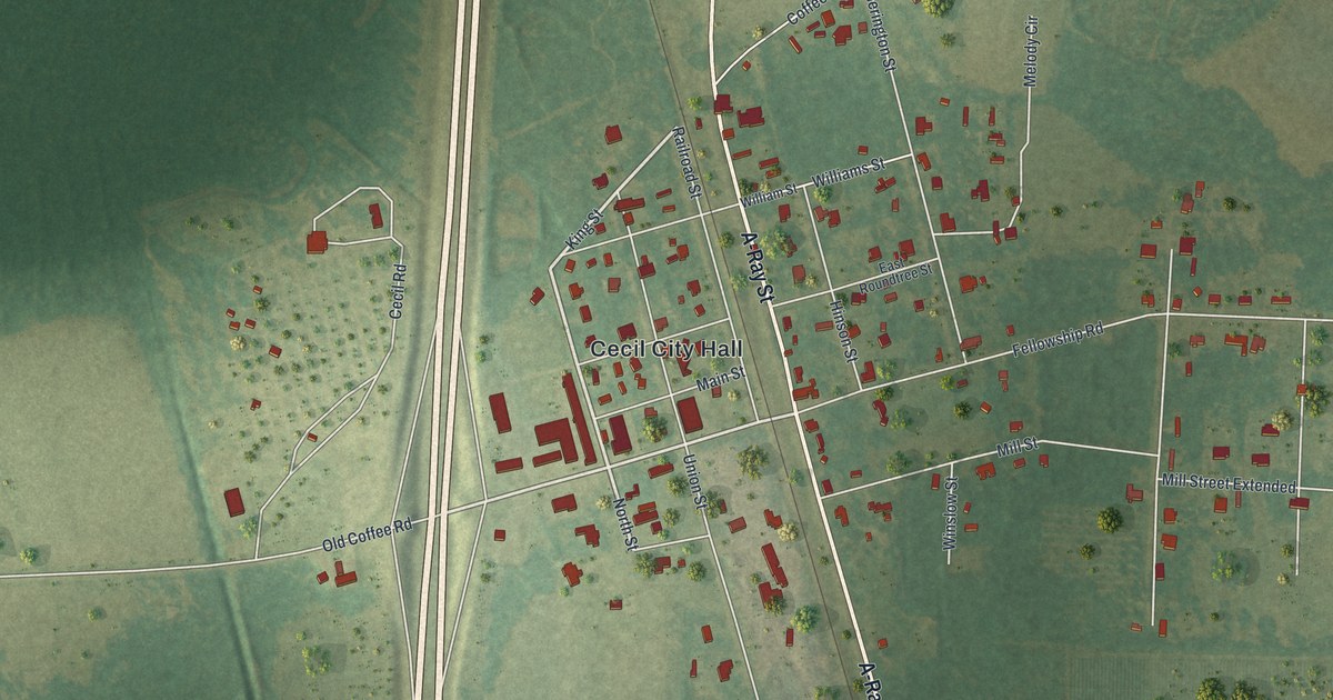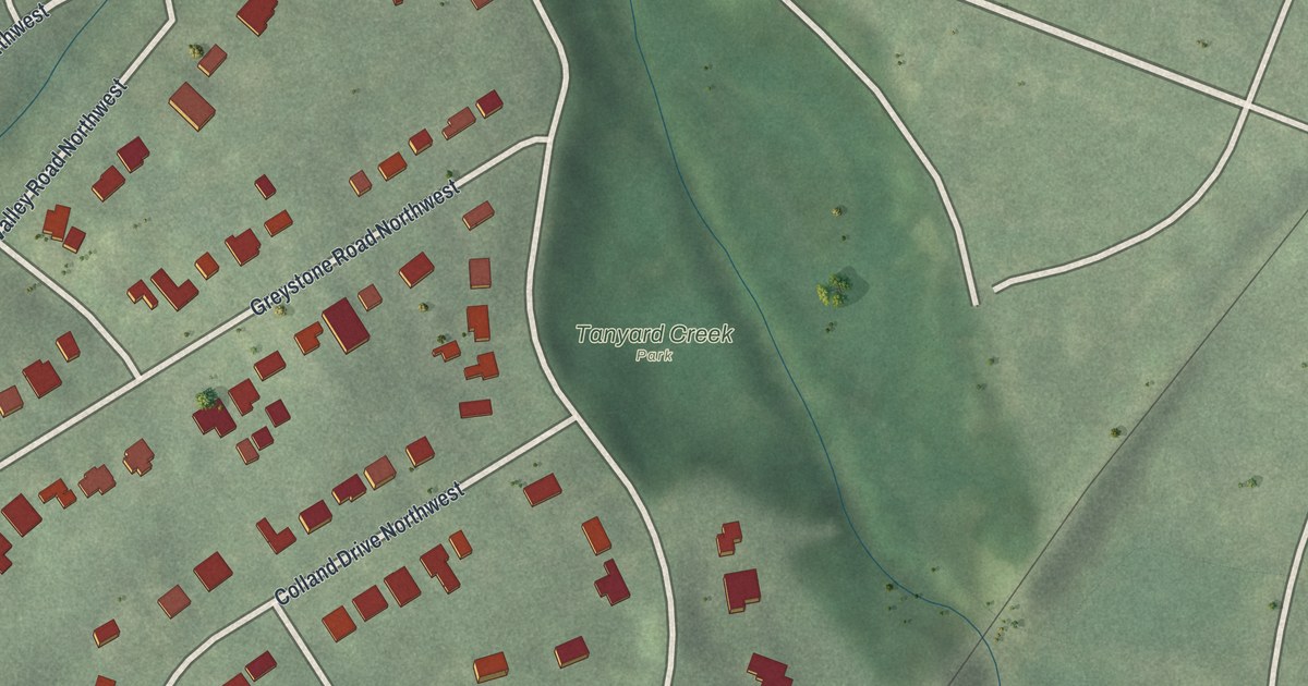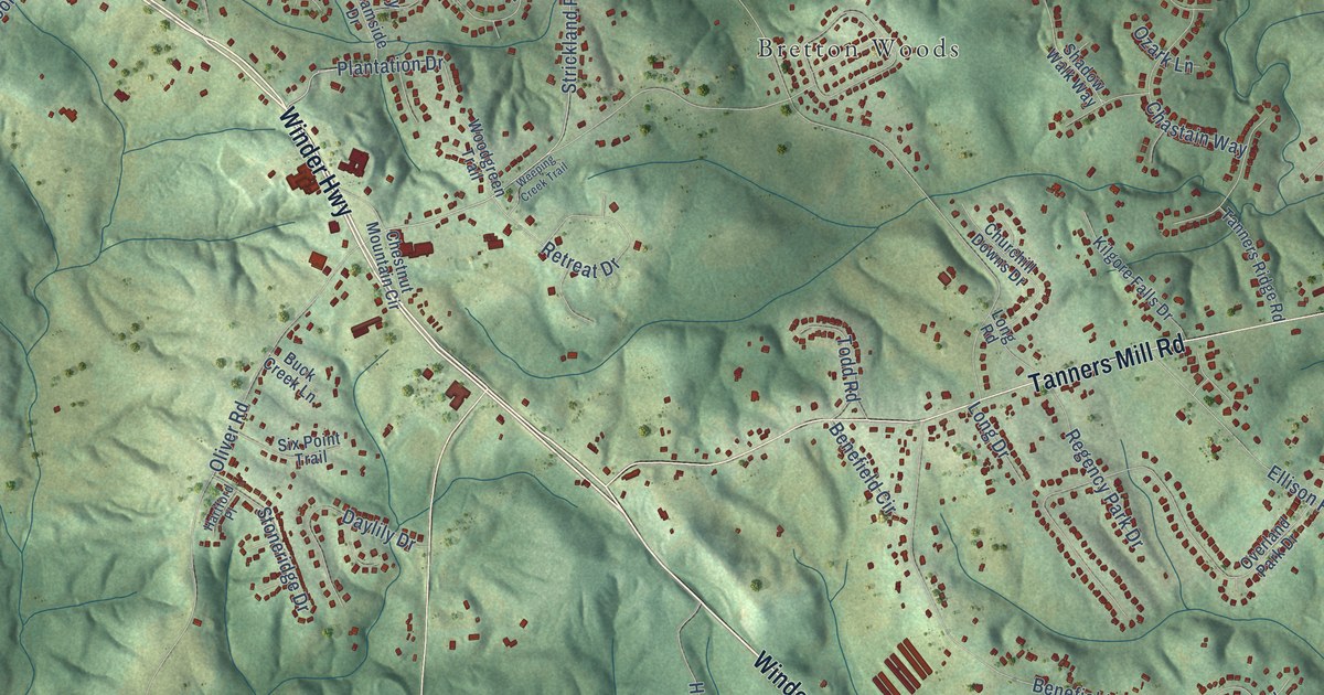
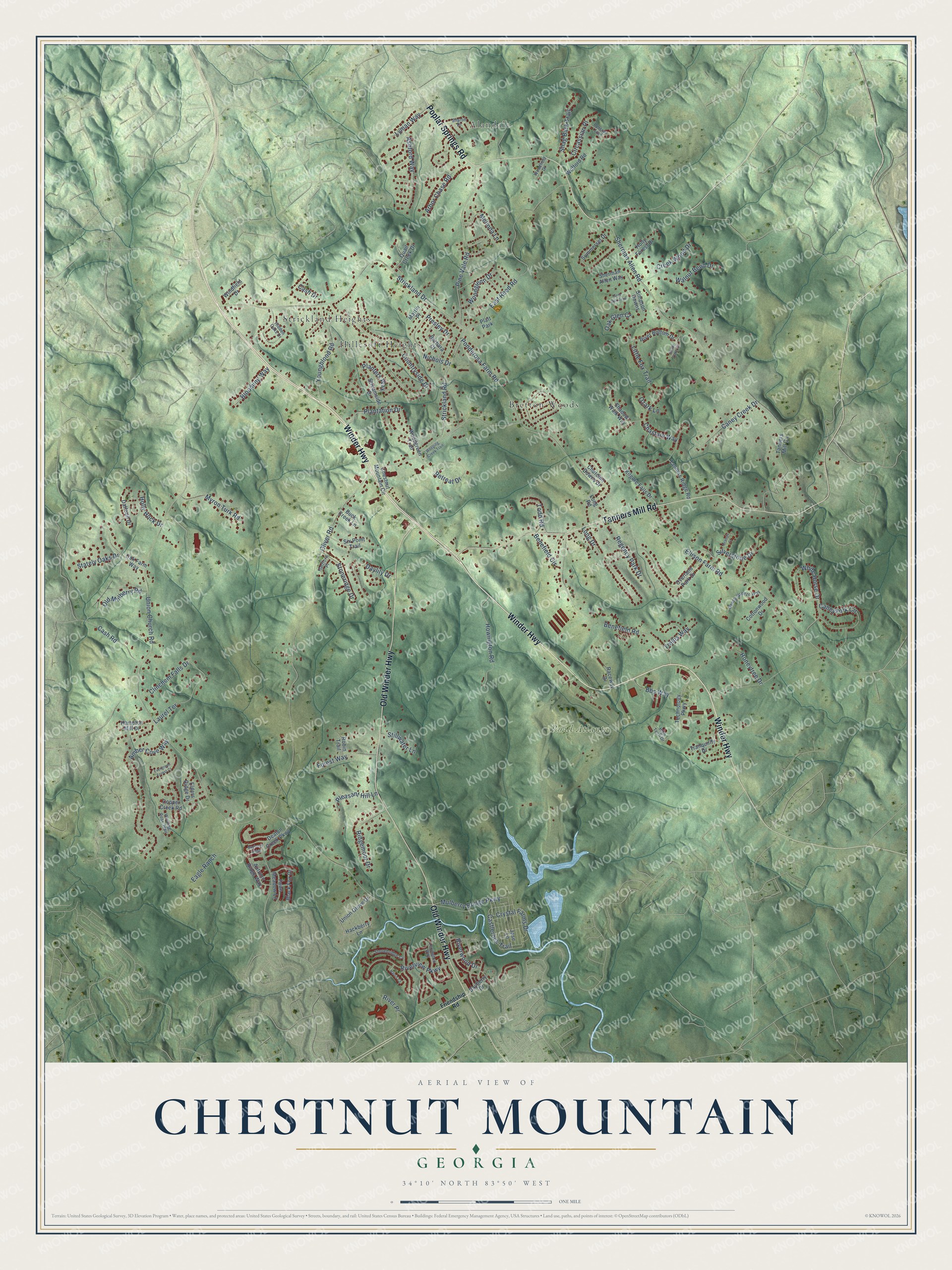
This beautifully detailed map of Chestnut Mountain, Georgia was created in 2026 using aerial imagery combined with modern topographical, census, street and landmark data. It’s a one-of-a-kind view of Chestnut Mountain that combines accurate data with a vintage aesthetic. The map shows every building in its true location, many of the roads carry their names, and the shaded topographic relief shows the shape of the land.
Explore an aerial view of Chestnut Mountain, Georgia
On the map you’ll find Road Atlanta, Alandale, Strickland Heights, Bretton Woods, and Hillcroft Heights, along with Winder Highway, Old Winder Highway, Tanners Mill Road, Poplar Springs Road, Strickland Drive, Strickland Road, Plantation Drive, and more. If you look closely you can even find your house accurately drawn in its correct location. Zoom in on the preview to look for yours.
Take a closer look at the Chestnut Mountain map
Names on this map
These names are printed on this map.
Places: Road Atlanta, Alandale, Strickland Heights, Bretton Woods, Hillcroft Heights and Platt Park.
Streets and roads: Winder Highway, Old Winder Highway, Tanners Mill Road, Poplar Springs Road, Strickland Drive, Strickland Road, Plantation Drive, Union Church Road, Oliver Road, Sherman Allen Road, Ponderosa Farm Road, Ellison Farm Road.
More street names, A to Z
Amber Cove Way, Arbor Chase Road, Ashford Way, Autumn Ridge Way, Barbara Court, Bayberry Drive, Bayberry Ridge, Bbs Way, Benefield Circle, Benefield Road, Black Fox Drive, Blooming Way, Brands Court, Buck Creek Lane, Caney Creek Drive, Caney Fork Circle, Cash Drive, Cash Road, Castlerock Trail, Chastain Way, Chestnut Mountain Circle, Churchill Downs Drive, Circassian Place, Clinchem Falls Drive, Copper Creek Road, Cottonwood Drive, Countryside Drive, Creek Wood Drive, Crystal Farms Drive, Daffodil Drive, Daylily Drive, Deaton Creek Parkway, Eagle Ranch, East Reed Road, Elders Ridge Drive, Evergreen Forest Court, Fawn Meadow Lane, Forest Way, Friendship Road, Gentle Breeze Way, Grey Oak Trail, Hackberry Lane, Hampton Mill Drive, Harris Court, Hartford Place, Hidden Oaks Drive, High Tech Drive, Holly Forest Drive, Holly Hock Drive, Honeytree Drive, Howington Road, Jase Lane, Kilgore Falls Drive, Laurel Terrace, Lexington Way, Little Fox Trail, Long Drive, Long Road, Lyman Way, Martin Place, Melinda Lane, Mulberry Bridge Parkway, Myron Turk Road, Nichols Drive, Oak Farm Way, Oak Glen Court, Old Mulberry Road, Overland Park Drive, Ozark Lane, Persian Trail, Pine Vale Road, Planters Way, Pleasant Hill Lane, Presley Drive, Quail Creek Drive, Raceway Drive, Regency Park Drive, Retreat Drive, Ridgemoor Drive, River Bottom Drive, River Place, Riverview Parkway, Riverwood Drive, Robin Trail, Shadow Walk Way, Shady Lake Circle, Shag Bark Trail, Sharon Drive, Sherman Allen Way, Silverstone Drive, Simpson Downs, Six Point Trail, Stately Oaks Drive, Stillwater Lane, Stonebridge Cv, Stoneridge Drive, Streamside Drive, Summerset Drive, Tanners Mill Circle, Tanners Ridge Road, Technology Parkway, Todd Road, Tranquility Drive, Trellis Way, Union Grove Drive, Walnut Bend Drive, Weeping Creek Trail, White Horse Drive, Windfield Drive, Winding Rose Trail, Wofford Road, Woodfield Drive, Woodglenn Drive, Woodgreen Trail, Youngblood Road.
See it on a wall
The Chestnut Mountain map as a framed print. Swipe for more.


This beautifully detailed map of Chestnut Mountain makes an attractive addition to your office, library, or den, and it can even be used to teach children the geography and history of the area. It also makes a great gift for someone who left Chestnut Mountain and still calls it home. When you’re done exploring, click here to get your copy of the Chestnut Mountain map.