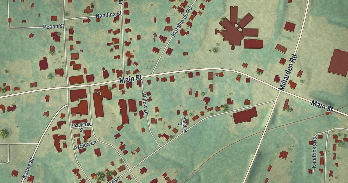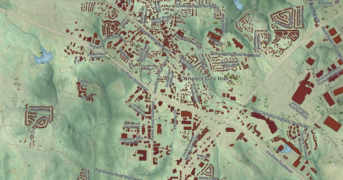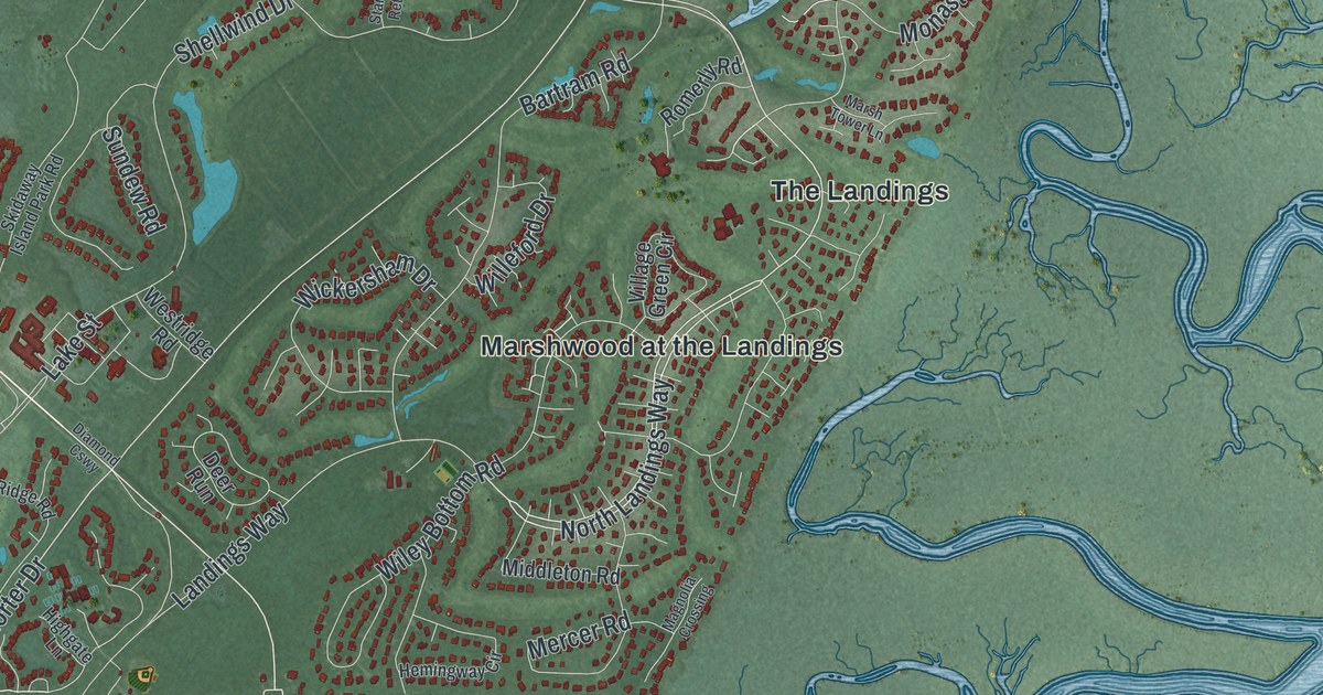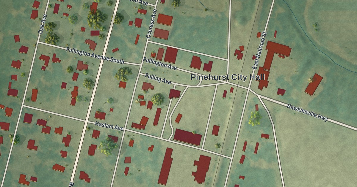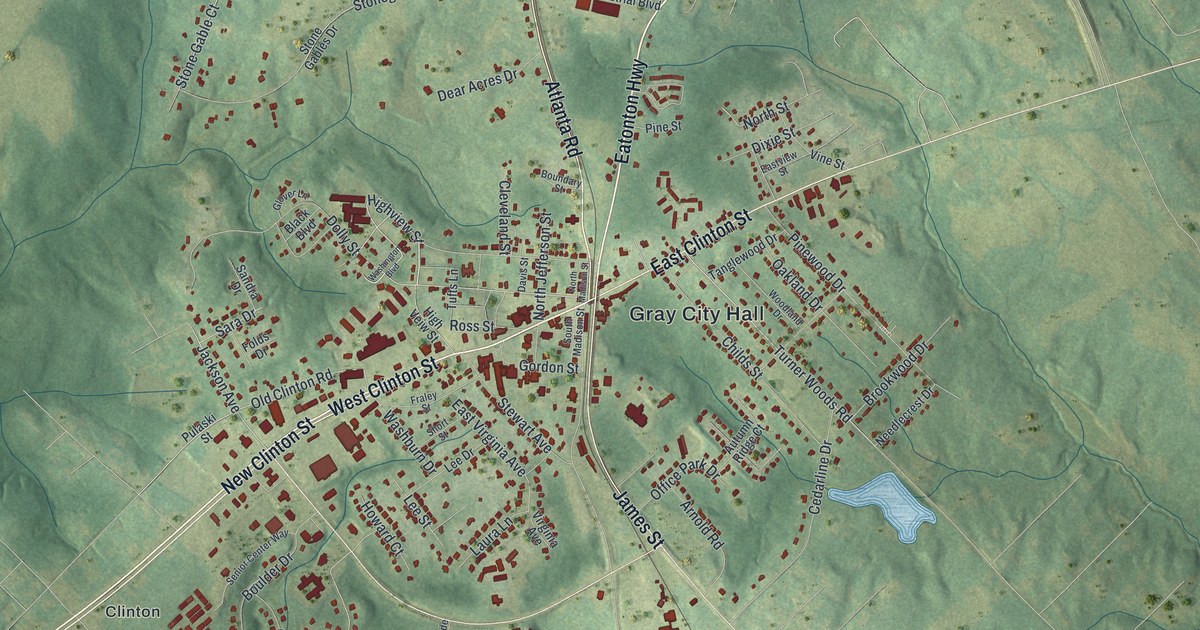
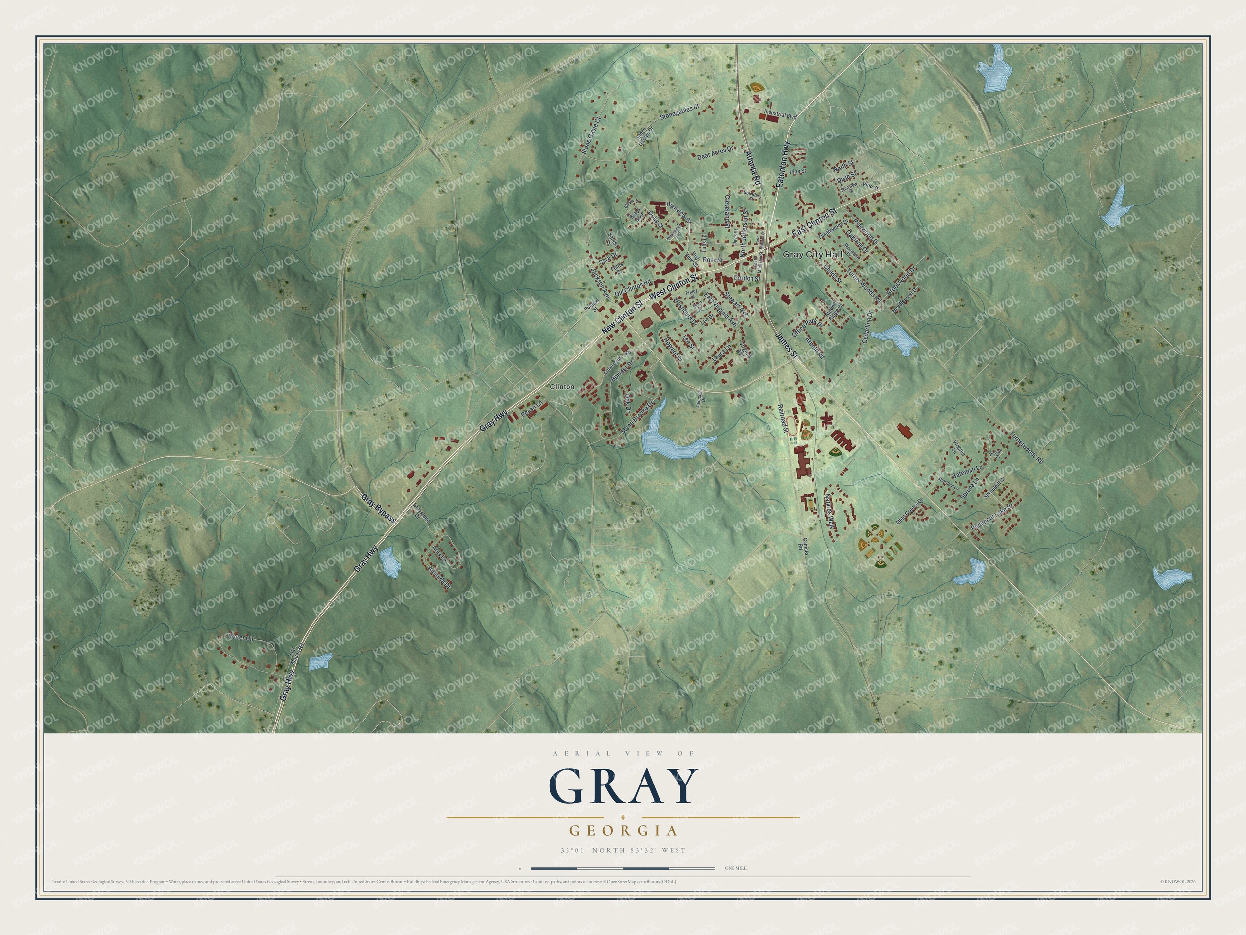
This beautifully detailed map of Gray, Georgia was created in 2026 using aerial imagery combined with modern topographical, census, street and landmark data. It’s a one-of-a-kind view of Gray that combines accurate data with a vintage aesthetic. The map shows every building in its true location, many of the roads carry their names, and the shaded topographic relief shows the shape of the land.
Explore an aerial view of Gray, Georgia
On the map you’ll find Gray City Hall and Clinton, along with Eatonton Highway, Clinton Street, Gray Highway, Atlanta Road, and more. If you look closely you can even find your house accurately drawn in its correct location. Zoom in on the preview to look for yours.
Did You Know?
Gray was founded in 1851. It was named for James M. Gray, a wealthy cotton planter who owned land in the area. In 1905 the seat of Jones County moved to Gray. The town was incorporated six years later, in 1911.
Take a closer look at the Gray map
Names on this map
These names are printed on this map.
Places: Gray City Hall and Clinton.
Streets and roads: Eatonton Highway, West Clinton Street, Gray Highway, Atlanta Road, Gray Bypass, New Clinton Street, East Clinton Street, James Street, Highview Street, Jackson Avenue, Dolly Street, Turner Woods Road.
More street names, A to Z
Allen Greene Drive, Amanda Drive, Amy Lane, Arnold Road, Autumn Ridge Court, Bateman Lane, Black Boulevard, Boulder Drive, Boundary Street, Brookwood Drive, Cedarline Drive, Childs Street, Cleveland Street, Cumslo Road, Davis Street, Dear Acres Drive, Dixie Street, Eastview Street, East Virginia Avenue, Folds Drive, Fraley Street, Glover Lane, Gordon Street, Graystone Drive, High Veiw Street, Howard Court, Industrial Boulevard, Lakeside Drive, Laura Lane, Lee Drive, Lee Street, Natures Walk, Needlecrest Drive, North Jefferson Street, North Madison Street, North Street, Oak Drive, Oakland Drive, Office Park Drive, Old Clinton Road, Old Macon Road, Pecan Lane, Piedmont Lake Drive, Pine Street, Pinewood Drive, Pinyon Place, Porter Circle, Pulaski Street, Railroad Street, Ross Street, Sandra Drive, Sara Drive, Senior Center Way, Shortleaf Lane, Short Street, South Madison Street, Springhill Drive, Spruce Lane, Stewart Avenue, Stone Brooke Drive, Stone Gable Court, Stonegables Court, Stone Gables Drive, Tanglewood Drive, Tufts Lane, Turnerwoods Road, Vine Street, Virginia Avenue, Virginia Lane, Washburn Drive, Washington Boulevard, Woodland Drive.
See it on a wall
The Gray map as a framed print. Swipe for more.


This beautifully detailed map of Gray makes an attractive addition to your office, library, or den, and it can even be used to teach children the geography and history of the area. It also makes a great gift for anyone with Gray roots. When you’re done exploring, click here to get your copy of the Gray map.