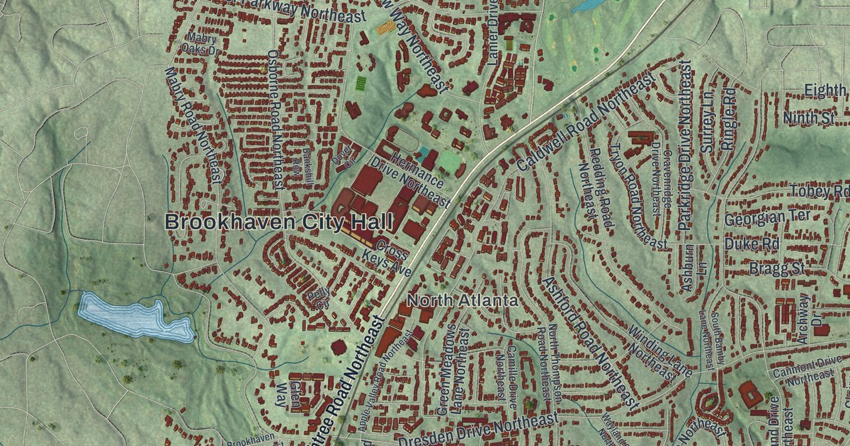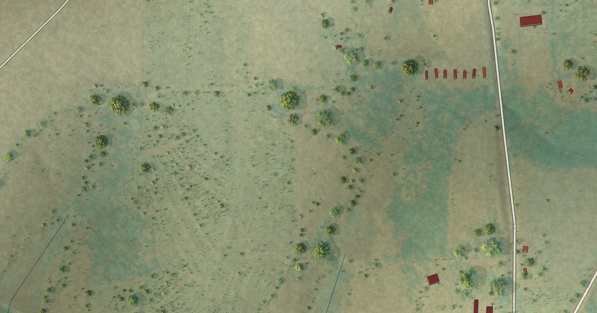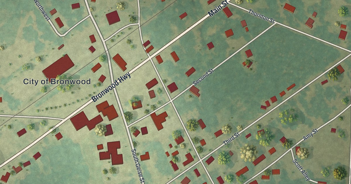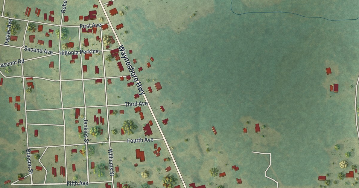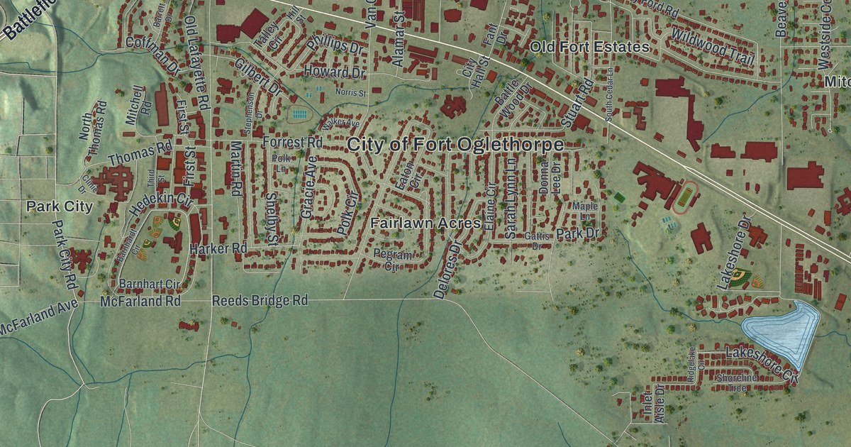
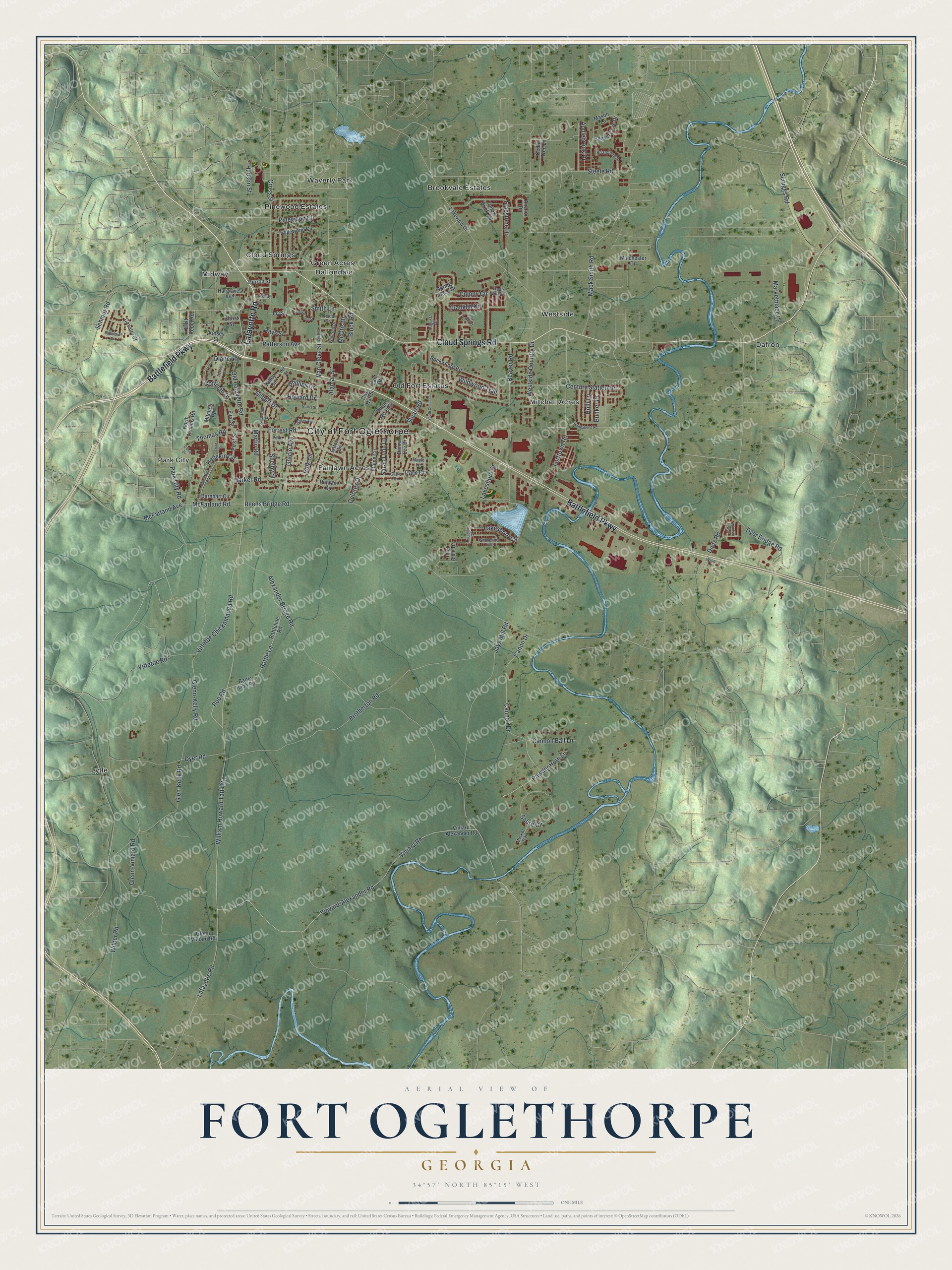
This beautifully detailed map of Fort Oglethorpe, Georgia was created in 2026 using aerial imagery combined with modern topographical, census, street and landmark data. It’s a one-of-a-kind view of Fort Oglethorpe that combines accurate data with a vintage aesthetic. The map shows every building in its true location, many of the roads carry their names, and the shaded topographic relief shows the shape of the land.
Explore an aerial view of Fort Oglethorpe, Georgia
On the map you’ll find Cloud Springs, Dafron, Dallondale, Fairlawn Acres, and Green Acres, along with Battlefield Parkway, Cloud Springs Road, Lafayette Road, Park City Road, Wilder Road, and more. If you look closely you can even find your house accurately drawn in its correct location. Zoom in on the preview to look for yours.
Did You Know?
The Army built a cavalry post in 1902 at Hargrave, beside the Chickamauga battlefield. It was later named Fort Oglethorpe for James Oglethorpe, founder of the Georgia colony. In World War II it trained thousands of women for the Women’s Army Corps. The Army released the land in 1947, and the city incorporated in 1949.
Take a closer look at the Fort Oglethorpe map
Names on this map
These names are printed on this map.
Places: City of Fort Oglethorpe, Brookvale Estates, Cloud Springs, Dafron, Dallondale, Fairlawn Acres, Green Acres, Lytle, Midway, Mitchell Acres, Old Fort Estates, Park City, Pinewood Estates, Waverly Park and Westside.
Streets and roads: Battlefield Parkway, Cloud Springs Road, Lafayette Road, Park City Road, Wilder Road, William Howard Taft Highway, Reeds Bridge Road, Patterson Avenue, Cannon Ball Lane, Vittetoe Chickamauga Road, Sabre Circle, Wildwood Trail.
More street names, A to Z
Alamar Street, Alexander Bridge Road, Anchor Drive, Applebrook Drive, Augusta Drive, Barnhardt Circle, Barnhart Circle, Barrett Drive, Battlebluff Drive, Battle Lane, Battle Line Road, Battleline Road, Battle Wood Drive, Beaver Road, Block Road, Briarstone Drive, Brotherton Road, Bunker Drive, Cannon Drive, Canon Drive, Cavalry Court, Cedar Tree Lane, Century Station Drive, Christ Street, City Hall Street, Clinic Drive, Coffman Drive, Colony Circle, Cross Street, Cynthia Drive, Delores Drive, Diane Lane, Dietz Road, Donna Lee Drive, Dyer Bridge Road, Dyer Road, East Rebel Road, Eaton Circle, Edgewood Circle, Elaine Circle, Fant Drive, First Street, Flagstone Drive, Forrest Road, Forttown Road, Franklin Circle, Freida Drive, Gattis Drive, Gilbert Drive, Glen-Kelly Road, Glenn-Kelly Road, Glenn-Viniard Road, Glenn Viniard Road, Gracie Avenue, Hargraves Avenue, Harker Road, Hays Street, Hedekin Circle, Herron Street, Hill Street, Holli Lane, Howard Drive, Hudson Street, Inlet Aisle Drive, Jays Mill Road, Joy Street, Kinsey Street, Lakeshore Circle, Lakeshore Drive, Lakeview Drive, Mack Smith Road, Madgabend Road, Maple Lane, Marketplace Lane, Martin Road, Mason Lane, McFarland Avenue, McFarland Road, McOtis Drive, Mitchell Road, Musket Trail, Nativity Place, Norris Street, North Thomas Road, Old Lafayette Road, Park Drive, Park Lake Road, Pegram Circle, Phillips Drive, Pinewood Circle, Poe Road, Polk Circle, Polk Lane, Powder Horn Lane, Ridgelake Circle, Rocky Ford Road, Round Tree Drive, Sarah Lynn Lane, Schmitt Road, Scruggs Road, Shelby Street, Shoreline Trce, Smith Lane, South Cedar Lane, Spring Place Drive, Steele Road, Stephenson Drive, Stuart Road, Sunset Cove Drive, Talley Circle, Third Street, Thomas Road, Trade Wind Drive, Van Cleve Street, Viniard Alexander Road, Viniard Road, Vinyard-Alexander Road, Vittetoe Road, Walker Avenue, Westside Country Drive, Winchester Drive, Windsor Way, Winifred Drive, Wise Lane, Yellow Brick Road.
See it on a wall
The Fort Oglethorpe map as a framed print. Swipe for more.


This beautifully detailed map of Fort Oglethorpe makes an attractive addition to your office, library, or den, and it can even be used to teach children the geography and history of the area. It also makes a great gift for anyone with Fort Oglethorpe roots. When you’re done exploring, click here to get your copy of the Fort Oglethorpe map.