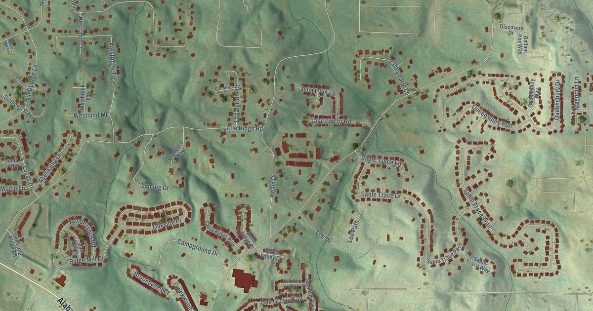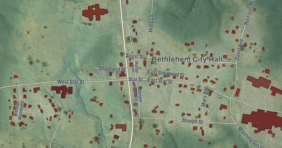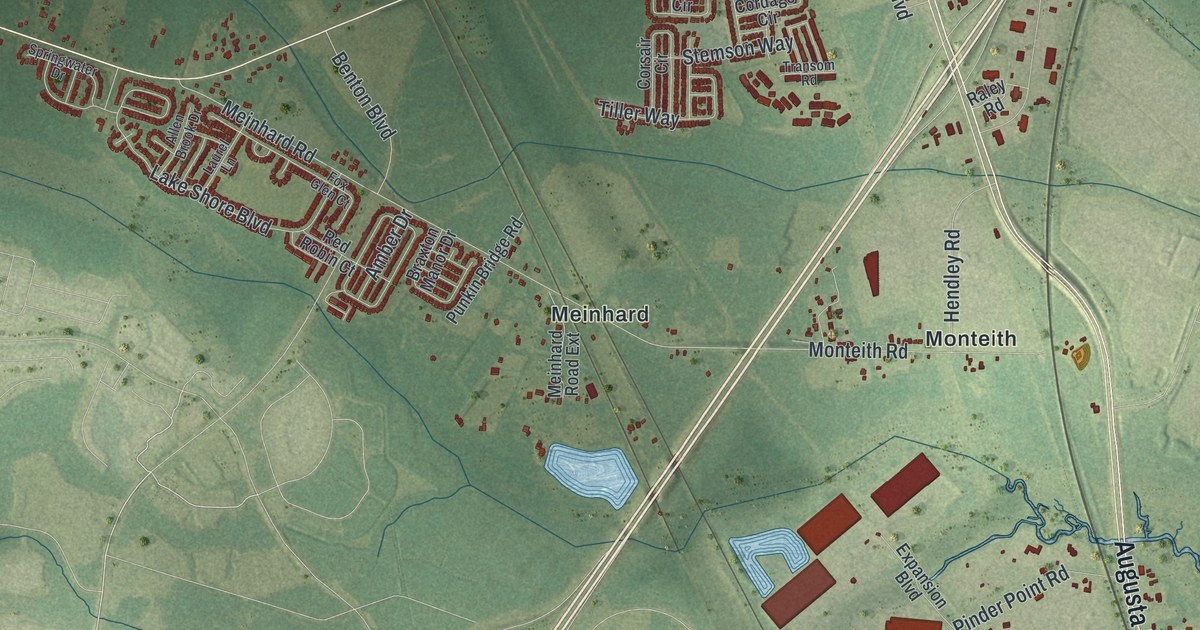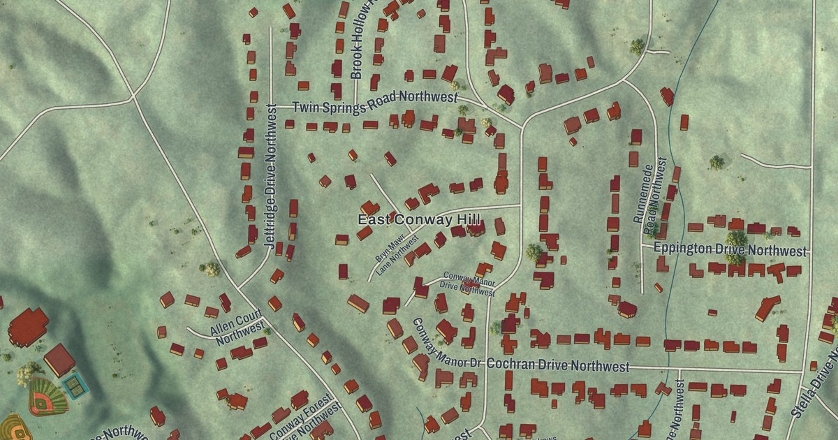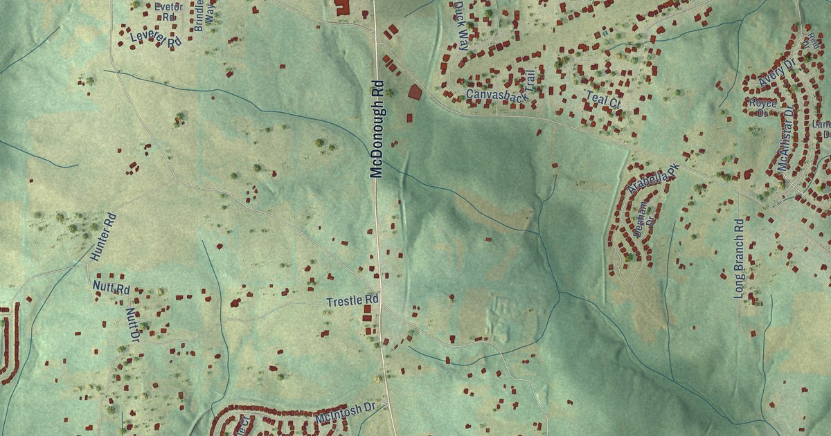
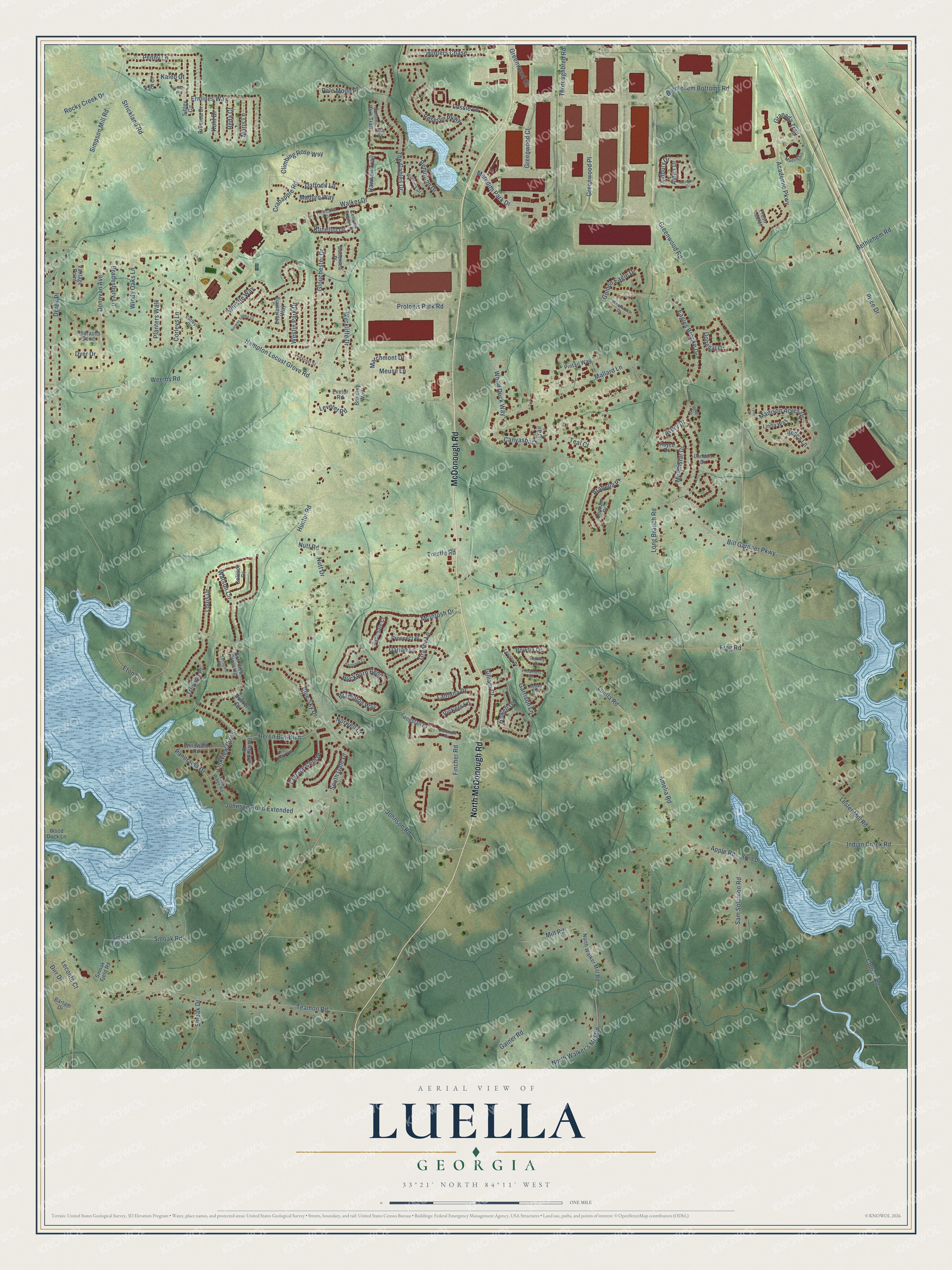
This beautifully detailed map of Luella, Georgia was created in 2026 using aerial imagery combined with modern topographical, census, street and landmark data. It’s a one-of-a-kind view of Luella that combines accurate data with a vintage aesthetic. The map shows every building in its true location, many of the roads carry their names, and the shaded topographic relief shows the shape of the land.
Explore an aerial view of Luella, Georgia
On the map you’ll find McDonough Road, North McDonough Road, Greenwood Road, Thoroughbred Road, Greenwood Circle, Luella Road, McAllistar Drive, Fincher Road, Lester Mill Road, Bill Gardner Parkway, Trestle Road, Heron Bay Boulevard, and more. If you look closely you can even find your house accurately drawn in its correct location. Zoom in on the preview to look for yours.
Take a closer look at the Luella map
Names on this map
These names are printed on this map.
Streets and roads: McDonough Road, North McDonough Road, Greenwood Road, Thoroughbred Road, Greenwood Circle, Luella Road, McAllistar Drive, Fincher Road, Lester Mill Road, Bill Gardner Parkway, Trestle Road, Heron Bay Boulevard.
More street names, A to Z
Abington Drive, Academic Parkway, Adie Cv, Aldbury Drive, Alden Drive, Amelia Road, Apple Road, Arabella Pk, Avery Drive, Avondale Court, Bartam Drive, Battersea Place, Becca Lane, Bethlehem Bottoms Road, Bethlehem Road, Blue Sky Drive, Bond Drive, Bowlin Drive, Bradesbury Lane, Brampton Way, Breanna Drive, Brindley Way, Buckhorn Bend, Bunker Drive, Canvasback Trail, Cathedral Drive, Centerra Springs Drive, Climbing Rose Way, Coleson Cs, Collins Road, Corleys Drive, Corleys Lane, Cottage Club Drive, Crabapple Road, Daffodil Lane, Darian Lane, Dawnview Drive, Denham Drive, Derek Place, Dirr Drive, Donegal Drive, Donovan Avenue, Dyer Drive, Eagles Brooke Drive, Echo Ridge Road, Ermines Way, Eton Lane, Everlasting Way, Evetor Road, Fresh Laurel, Frog Road, Gainer Road, Garrison Lane, Gilliam Court, Glouchester Drive, Golden Eagle Drive, Golf View Crossing, Granada Trail, Granby Lane, Greenwood Court, Greenwood Place, Hampton Locust Grove Road, Harcourt Drive, Hargrove Court, Hawken Trail, High Court Way, Howell Drive, Hunter Road, Hunters Chase, Indian Creek Road, Johnson Road, Johnson Road Extended, Kaleb Court, Karli Court, Klinetop Drive, Kohl Drive, Landon Drive, Langstan Court, Lantana Drive, Leconte Court, Leveret Road, Levista Drive, Linda Way, Linkview Cross, Long Branch Road, Lossie Lane, Louis Drive, Lynn Court, Madison Acres Drive, Madrid Cr, Maduro Way, Mallard Lane, Marchmont Drive, Maris Lane, McIntosh Drive, Meredith Park Drive, Meuse Lane, Mill Road, Nicolas Place, North Walker's Mill Road, North Walker Mill Road, Norway Spruce Court, Norwell Court, Nottley Drive, Nutt Drive, Nutt Road, Pale Moon Place, Panorama Drive, Penny Lane, Pharaohs Bend, Piedmont Drive, Pintail Way, Planters Walk, Prescott Street, Price Drive, Prologis Park Road, Prospect Place, Reda Court, Redan Way, Reid Drive, Rendition Drive, Reserve Parkway, Rocky Creek Drive, Royce Drive, Sam Solomon Road, Sibley Circle, Simpson Mill Road, Smoak Drive, Smoak Field Drive, Smoak Field Road, Smoak Road, South Gate Drive, Strickland Road, Summit Park Trail, Teal Court, Teamon Road, Terraglen Way, The Gables Drive, Treveno Place, Vantage Point, Vickers Lane, Walker Drive, Watson Circle, Weems Road, Wentworth Drive, Westin Park Drive, Whistle Way, Windward Road, Windy Oaks Lane, Wood Duck Lane, Wood Duck Way, Wyckliffe Drive, Wyntuck Drive.
See it on a wall
The Luella map as a framed print. Swipe for more.


This beautifully detailed map of Luella makes an attractive addition to your office, library, or den, and it can even be used to teach children the geography and history of the area. It also makes a great gift for someone who left Luella and still calls it home. When you’re done exploring, click here to get your copy of the Luella map.