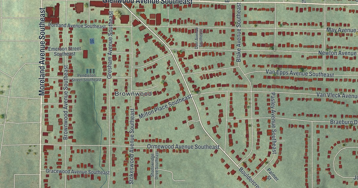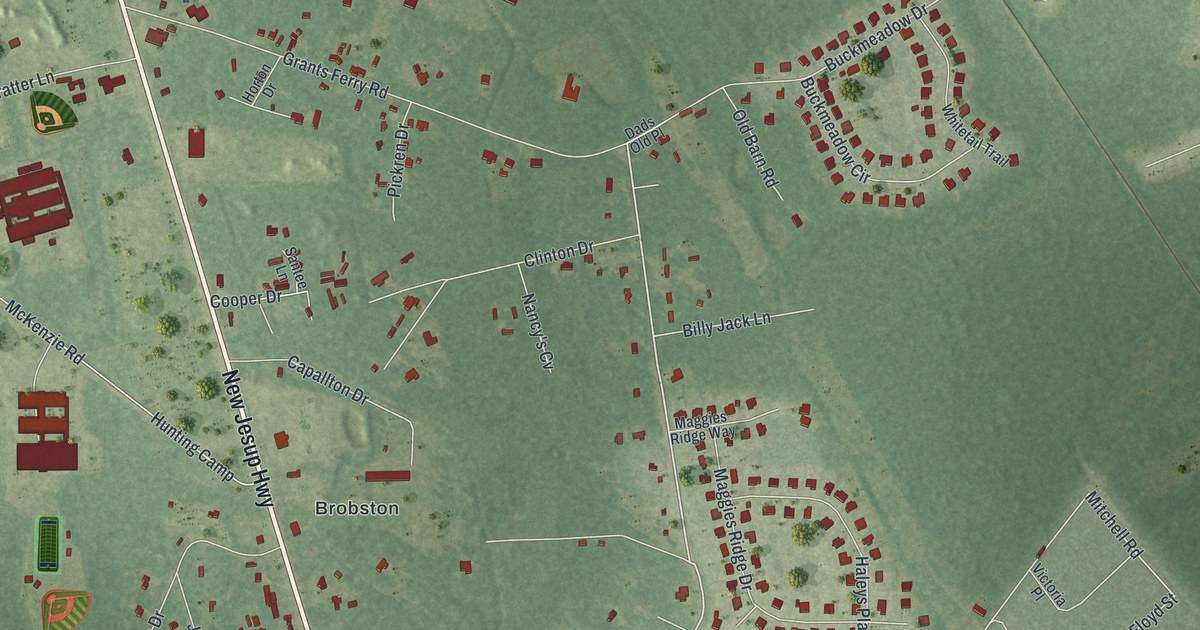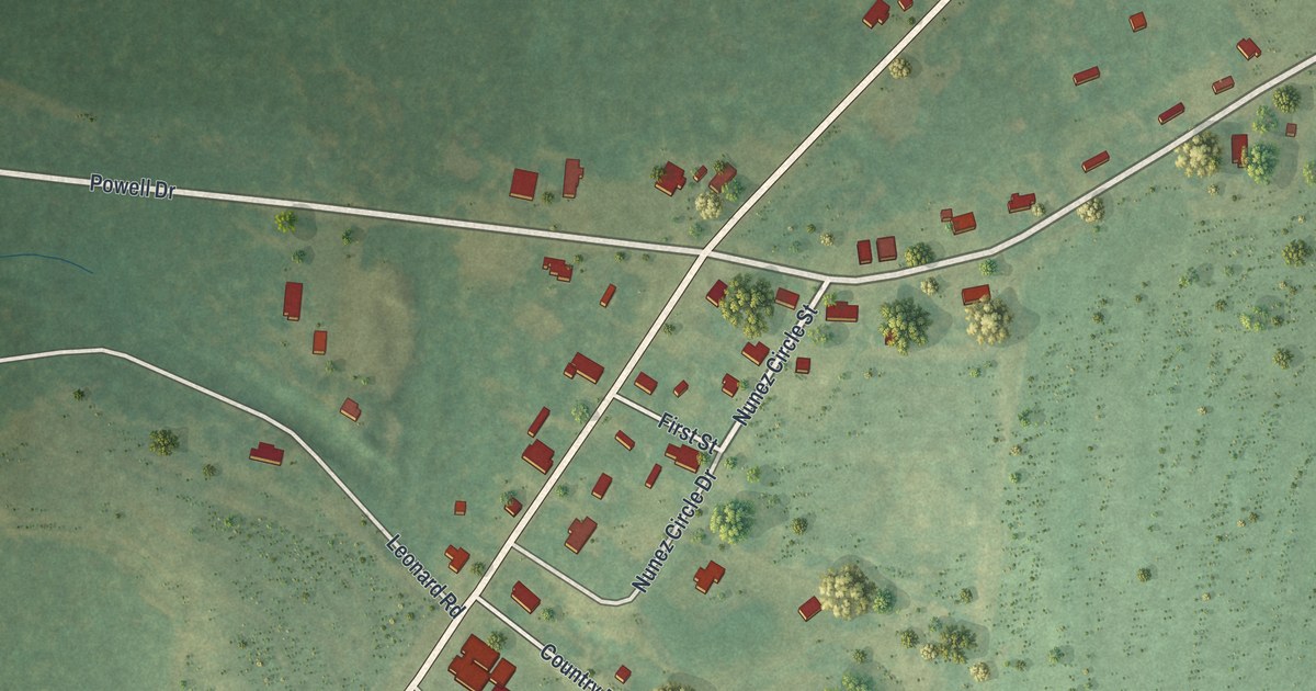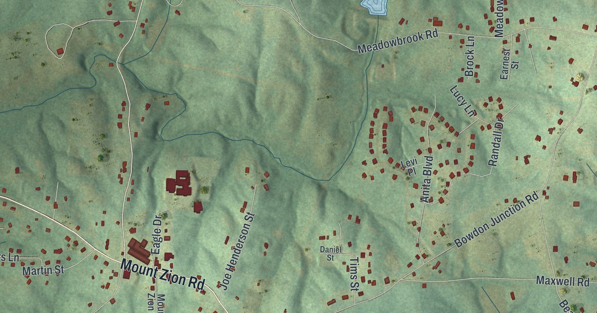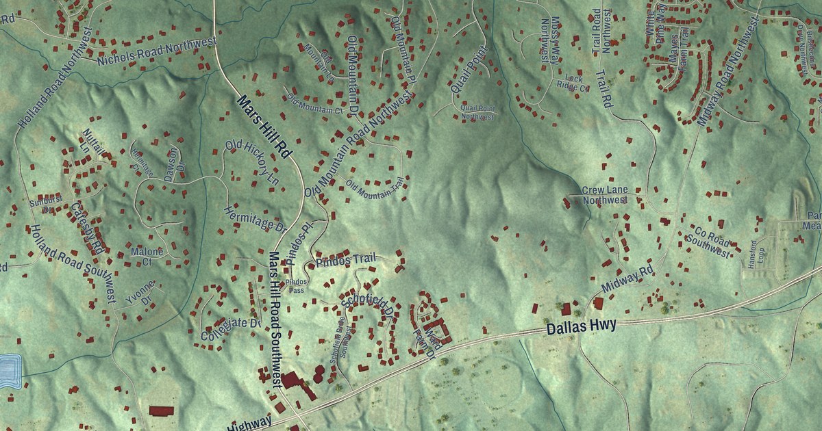
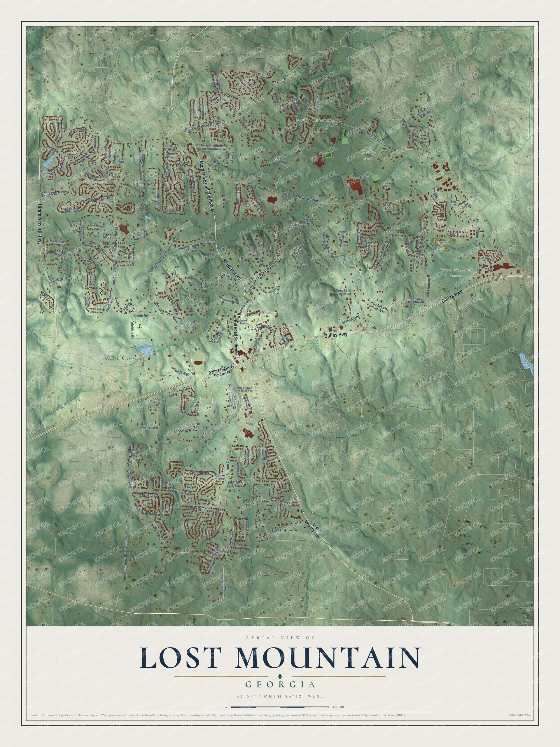
This beautifully detailed map of Lost Mountain, Georgia was created in 2026 using aerial imagery combined with modern topographical, census, street and landmark data. It’s a one-of-a-kind view of Lost Mountain that combines accurate data with a vintage aesthetic. The map shows every building in its true location, many of the roads carry their names, and the shaded topographic relief shows the shape of the land.
Explore an aerial view of Lost Mountain, Georgia
On the map you’ll find Green Meadows Preserve, Kemp Park, Oregon Park, Cobb Crossing, Red Rock Hills, and Davis Crossroads, along with Mars Hill Road, Hiram Acworth Highway, Dallas Highway, Mars Hill Road Northwest, Due West Road Northwest, Old Mountain Road Northwest, and more. If you look closely you can even find your house accurately drawn in its correct location. Zoom in on the preview to look for yours.
Did You Know?
From Internet Archive: "Kenesaw, Pine Mountain, and Lost Mountain form a triangle, Pine Mountain the apex, and Kenesaw and Lost Mountain the base, covering perfectly the towu of Marietta and the railroad back to the Chnttahoochie."
Lost Mountain is a community in Cobb County.
Take a closer look at the Lost Mountain map
Names on this map
These names are printed on this map.
Places: Green Meadows Preserve, Kemp Park, Oregon Park, Cobb Crossing, Red Rock Hills and Davis Crossroads.
Streets and roads: Mars Hill Road, Hiram Acworth Highway, Dallas Highway, Mars Hill Road Northwest, Due West Road Northwest, Old Mountain Road Northwest, Due West Road, Corner Road, Pickens Road, Burnt Hickory Road Southwest, Poplar Springs Road Southwest, Midway Road.
More street names, A to Z
Alec Crst, Amberton Drive, Amberton Lane Southwest, Amberton Way, Amity Cv, Amity Drive, Amos Lane, Antioch Court, Antioch Road, Antioch Road Northwest, Antioch Road Southwest, Armor Drive, Bob Fleming Road, Braidwood Bend, Braidwood Drive, Braidwood Lane, Braidwood Run Northwest, Braidwood Terrace, Braidwood Walk, Braidwood Way, Bridget Walk Southwest, Brigade Trail Northwest, Brinkley Road, Bristlecone Drive Northwest, Burnt Hickory Road Northwest, Captain Mathes Drive, Catesby Road, Cathers Creek Drive, Cedar Mill Drive, Chasebrook Drive, Chaseway Circle, Chestatee Creek Drive, Clipper Bay Drive, Collegiate Drive, Cook Road, Corner Road Northwest, Corner Road Southwest, Corn Mill Lane, County Road Southwest, Courtland Circle, Crabapple Court, Crabapple Lane, Crabapple Way, Crew Lane Northwest, Cross Creek Court, Dallas Highway Southwest, Davenport Circle, Dawson Drive, Echo Mill Court, Echo Mill Drive, Ember Oaks Circle Southwest, Evian Crossing Northwest, Evian Drive Northwest, First Cotton Court, Foxwerthe Drive Northwest, Gaelic Way, Gate Post Lane, Glynnwilde Drive, Hadaway Road, Hadaway Road Northwest, Hansford Loop, Harbormist Drive, Haven Crest Drive, Hayden Farms Drive, Henley Drive, Hermitage Court, Hermitage Drive, Hillside Green Way, Hillside Haven Drive Southwest, Holland Road Northwest, Holland Road Southwest, Holland Spgs Drive Northwest, Hunting Pine Drive, Hurstcliffe Drive Northwest, Julia Drive, Julia Drive Northwest, Koller Drive, Lamb Drive, Largent Way, Lenora Drive, Lewellen Drive, Lewellen Drive Northwest, Lisas Drive, Lochstone Drive, Lock Ridge Court, Lockwood Lane, Lost Creek Drive, Lost Mountain Lane Northwest, Lost Mountain Road, Malone Court, Marsden Trce, Mars Hill Road Southwest, Maxon Marsh Drive, Mayes Farm Trail, McConnell Road, Meadow Grass Lane, Meryton Drive, Midway Road Northwest, Mirror Lake Drive, Mossy Way Northwest, Myrtle Creek Trail, Nellrose Drive Northwest, Nichols Road, Nichols Road Northwest, Nuttail Lane, Oban Court, Old Dallas Road, Olde Bridge Drive, Old Hamilton Road, Old Hickory Lane, Old Mountain Court, Old Mountain Drive, Old Mountain Lane, Old Mountain Place, Old Mountain Trail, Osprey Ridge Northwest, Owl Creek Drive, Owl Creek Drive Northwest, Parkside Meadow Drive, Pickens Garden Lane, Pindos Pass, Pindos Place, Pindos Trail, Pine Log Drive, Pinewood Drive, Pocono Way, Poplar Springs Road, Preston Way, Pritchett Drive, Quail Point, Quail Point Northwest, Red Rock Trce, Reflections Trail, Registry Drive Northwest, Registry Lane, Sayre Drive, Schofield Drive, Schofield Drive Southwest, Scott Farm Drive, Seven Oaks Drive, Silverthorn Drive, Spring Crest Drive, Stanbrough Lane, Steve Drive, Stonehaven Drive, Sunburst Drive, Sun Drive, Talleybrook Drive Northwest, Tallgrass Way, Teague Drive, Teague Drive Northwest, Thousand Oaks Bend Northwest, Trail Road, Trail Road Northwest, Treadstone Lane, Vineyard Trail, Wallingford Drive, Ward Farm Drive, Weeping Willow Drive, Wembley Drive, White Pine Way, Windflower Drive, Windflower Drive Northwest, Wing Haven, Wiscasset Parkway, Woodlore Drive Northwest, Woodlore Trail, Woodmill Trce, Wright Road, Wright Road Southwest, Wyndham Lakes Drive, Wyndham Woods Drive, Wyndham Woods Drive Northwest, Wyndham Woods Trail, Yellowtail Lane, Yvonne Drive.
See it on a wall
The Lost Mountain map as a framed print. Swipe for more.


This beautifully detailed map of Lost Mountain makes an attractive addition to your office, library, or den, and it can even be used to teach children the geography and history of the area. It also makes a great gift for anyone who grew up in Lost Mountain or moved away. When you’re done exploring, click here to get your copy of the Lost Mountain map.