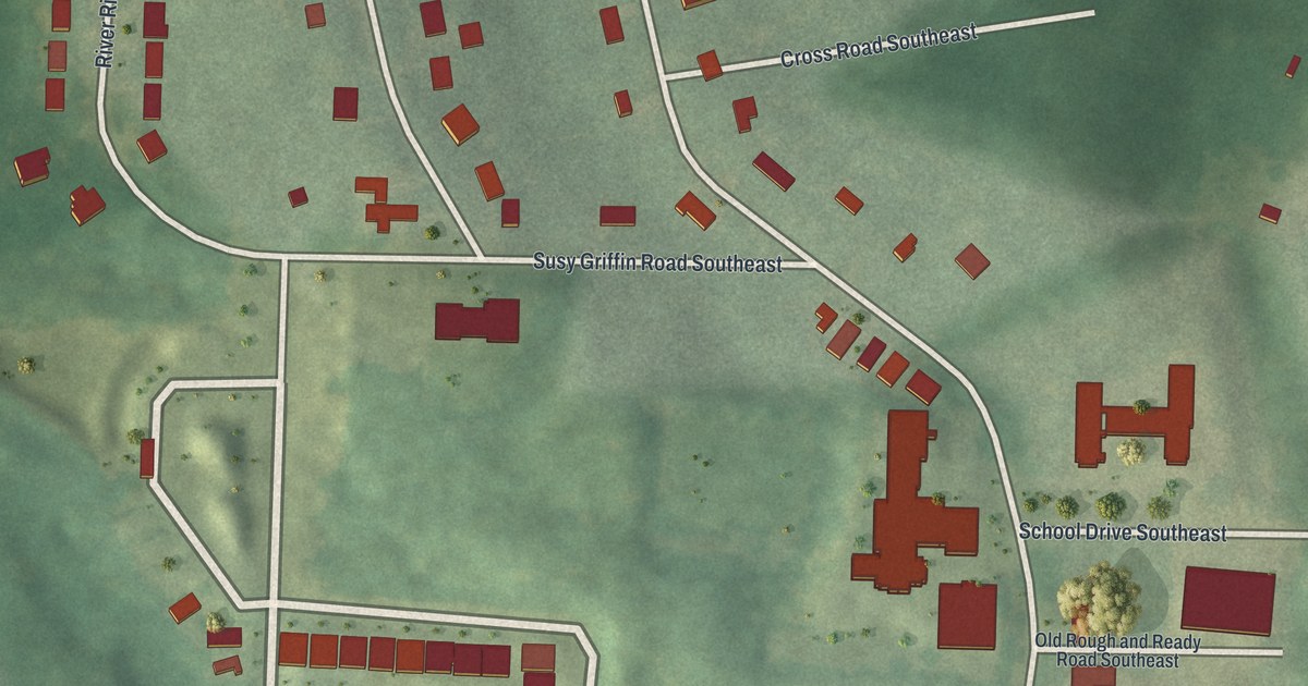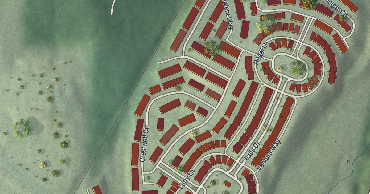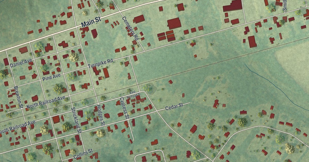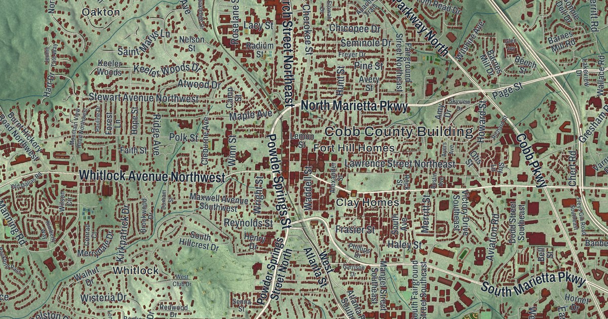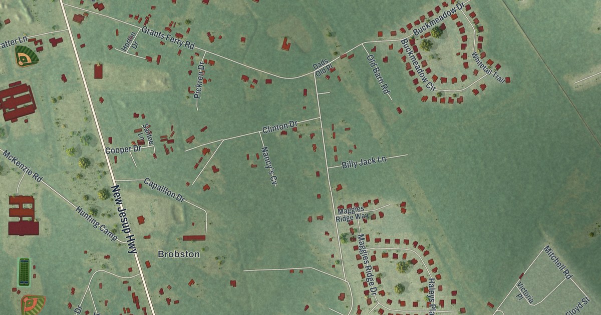
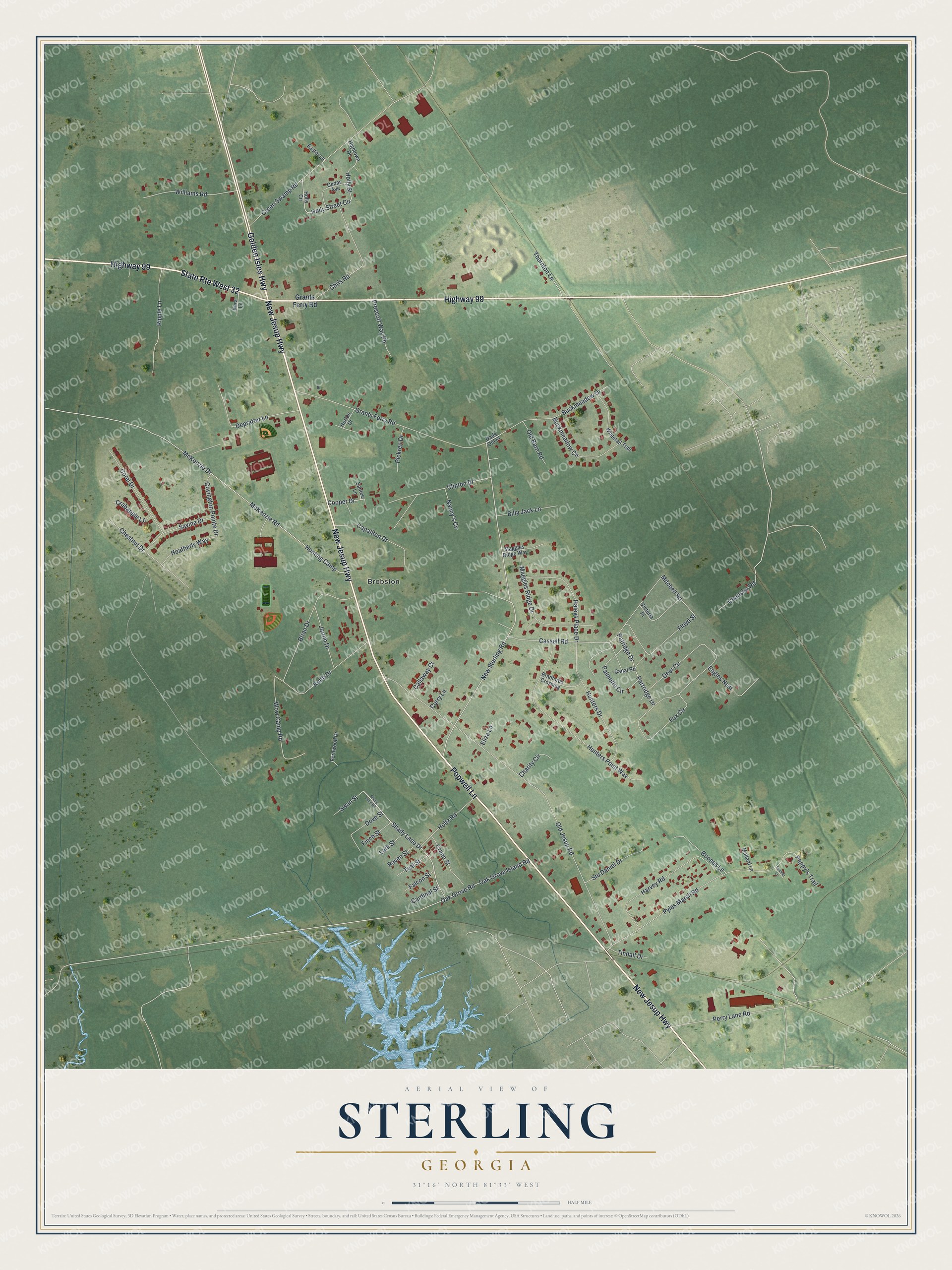
This beautifully detailed map of Sterling, Georgia was created in 2026 using aerial imagery combined with modern topographical, census, street and landmark data. It's a modern aerial view of Sterling in Glynn County, Georgia, that combines modern data with a vintage aesthetic. The roads feature printed names, and if you look closely you can find your exact house accurately shown in its correct location.
Explore an aerial view of Sterling, Georgia
On this map you'll find Brobston, New Jesup Highway, Highway 99, Popwell Lane, Golden Isles Highway, State Rte West 32, Shady Lane Drive, New Sterling Road, Partridge Drive, Mitchell Road, Cooper Drive, Hunting Camp, and more. Each red shape is a building, so zoom in on the preview and look for yours.
Sterling is a community in Glynn County. The Census Bureau counted 2,534 people here in 2020. Sterling sits about 5 miles northwest of Dock Junction, 7 miles northwest of Country Club Estates and 9 miles southwest of Darien. The map prints the town name in its title panel, with the coordinates below it.
Take a closer look at the Sterling map
Names on this map
These names are printed on this map.
Places: Brobston.
Streets and roads: New Jesup Highway, Highway 99, Popwell Lane, Golden Isles Highway, State Route West 32, Shady Lane Drive, New Sterling Road, Partridge Drive, Mitchell Road, Cooper Drive, Hunting Camp, Old Jesup Road.
More street names, A to Z
Billy Jack Lane, Boones Lane, Bradfords Crossing, Brian Drive, Buckmeadow Circle, Buckmeadow Drive, Callaway Court, Canal Road, Capallton Drive, Cardinal Street, Cassell Road, Cedar Avenue, Chanslor Road, Charity Circle, Chestnut Drive, Chris Road, Clinton Drive, Coral Drive, Covington Pointe Drive, Crabapple Lane, Crane Street, Curry Lane, Dads Old Place, Deer Circle, Depratter Lane, Dove Street, Eagles Nest, Easter Lane, Eliza Lane, Falcon Street, Feather Lane, Fernwood Drive, Finch Street, Floyd Street, Fox Circle, Grants Ferry Road, Green Swamp Road, Haleys Place Drive, Harvey Road, Heatherly Way, Hightown Drive, Holly Circle, Holly Street, Holly Street Circle, Holtz Road, Horton Drive, Hunters Drive, Hunters Point Way, Jarom Drive, Kara Lane, Keith Drive, Lark Street, Maggies Ridge Drive, Maggies Ridge Way, Mallard Lane, McKenzie Drive, McKenzie Road, Nancy's Cv, Oak Grove Island Road, Oak Grove Road, Old Barn Road, Palmetto Circle, Pappy's Trail, Patridge Drive, Perry Lane Road, Pickren Drive, Prescott Way Pe, Pyles Marsh Road, Raven Street, Ripple Lane, Santee Lane, Savina Drive, Shady Lane Road, Stu Daniel Drive, Swan Street, Teal Street, Thornton Lane, Tindall Drive, Victoria Place, Whitetail Trail, Williams Road, Wow Camp Road.
See it on a wall
The Sterling map as a framed print. Swipe for more.


Created by KNOWOL in 2026. The buildings are small red shapes, the roads carry their printed names, and shaded relief shows the shape of the land. The title panel reads "AERIAL VIEW OF STERLING, GEORGIA" with 31°16' NORTH 81°33' WEST.
It suits a den, a classroom or a front hall, and it makes a gift for anyone with Sterling roots. Open the preview and find the block you know. See sizes and frames for the Sterling map.